Pete's Walks - Coombe Hill and the Hampdens (page 1 of 5)
If you are considering walking this route yourself, please see my disclaimer. You may also like to see these notes about the maps and GPX files.
I did this circular walk of about 12.5 miles on Thursday, March 20th 2025. It was another repeat of my Coombe Hill and the Hampdens walk (Walk 12 of the Chiltern Chain Walk, anti-clockwise).
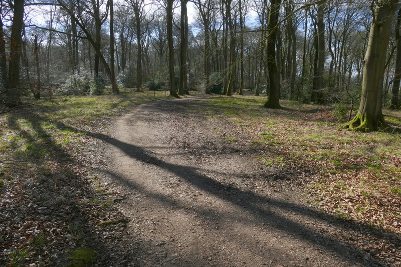
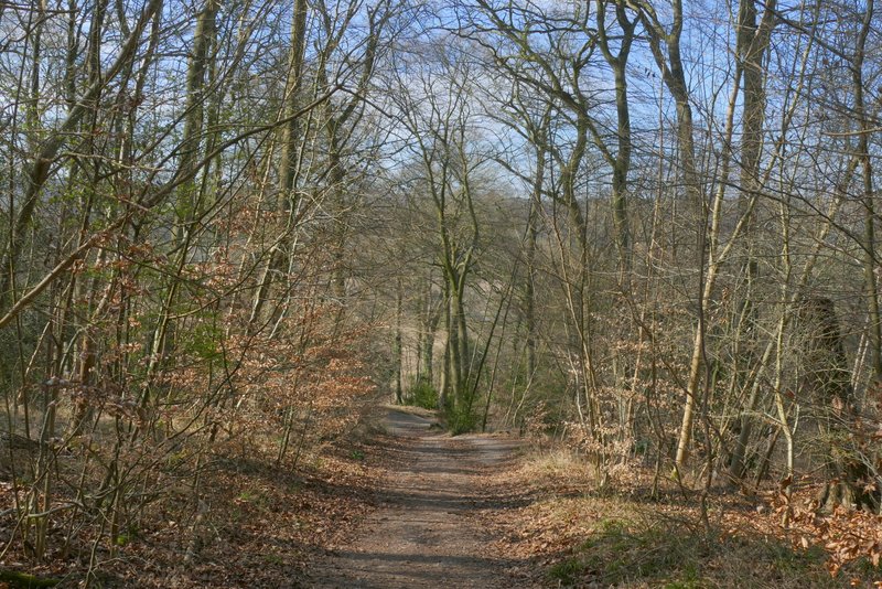
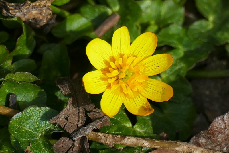
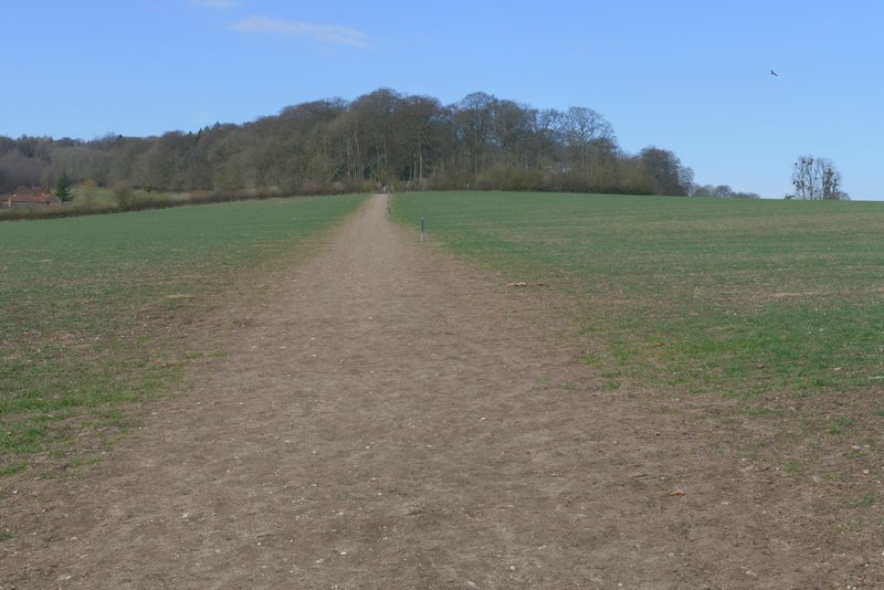
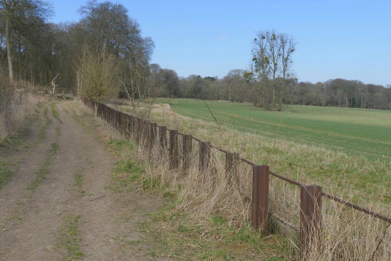
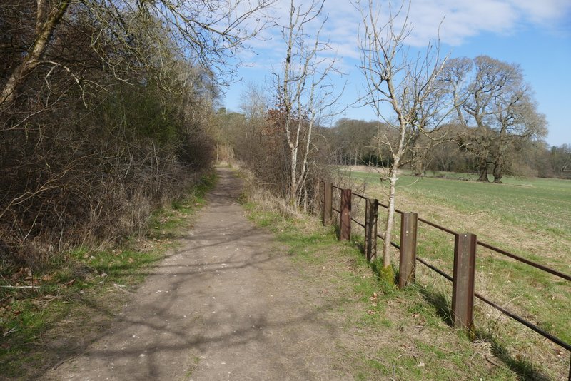
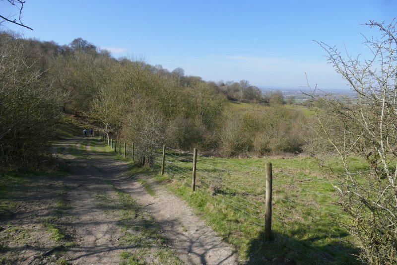
I parked at the Coombe Hill car park (grid reference SP 852063), and started walking at roughly 9.55am. I went through the gate by the entrance to the car park and turned left, following a hedge and fence line with an open area of grass and bushes to my right. After a few hundred yards I turned left through a metal kissing-gate, joining the route of the Ridgeway national trail which I would now be following as far as Whiteleaf Hill. The path ran through a beech wood on top of Lodge Hill, with fields close by on my left. When I reached a lane (the one to the car park) I turned right, downhill, for about a hundred yards, then took a path on the left. The Ridgeway now continued southwards through Linton's Wood and Goodmerhill Wood for about half a mile (there were plenty of fingerposts and white acorns signs to guide me at various minor path junctions). It then turned right down a clear track, which dropped quite steeply downhill. After crossing a bridleway, the path left the wood and ran through a tree belt (I took the permissive path parallel to the bridleway here, and spotted some Lesser Celandine beside it) to reach a minor road at Buckmoorend.
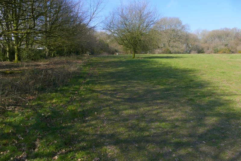
The start of the path from the Coombe Hill car park
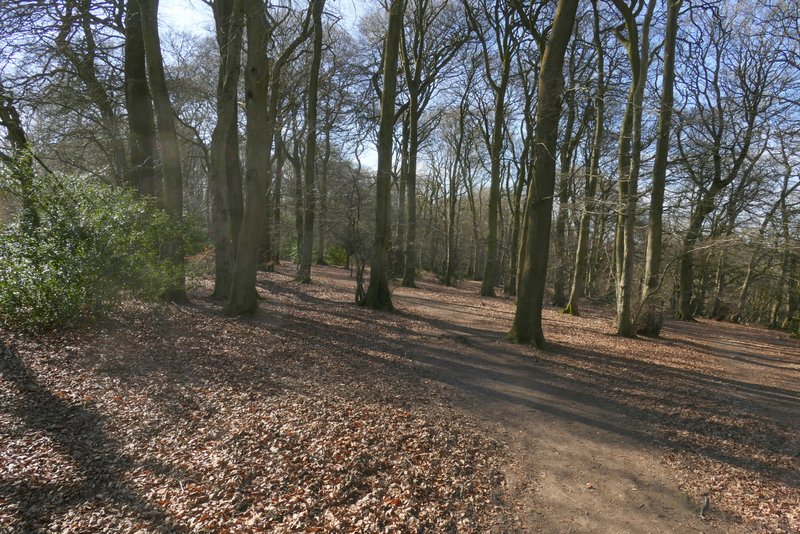
The Ridgeway on Lodge Hill
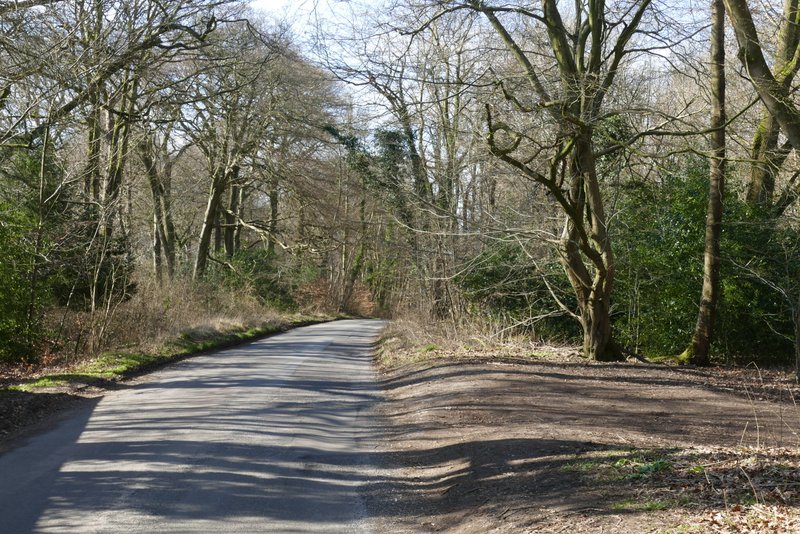
The short road walk on Lodge Hill
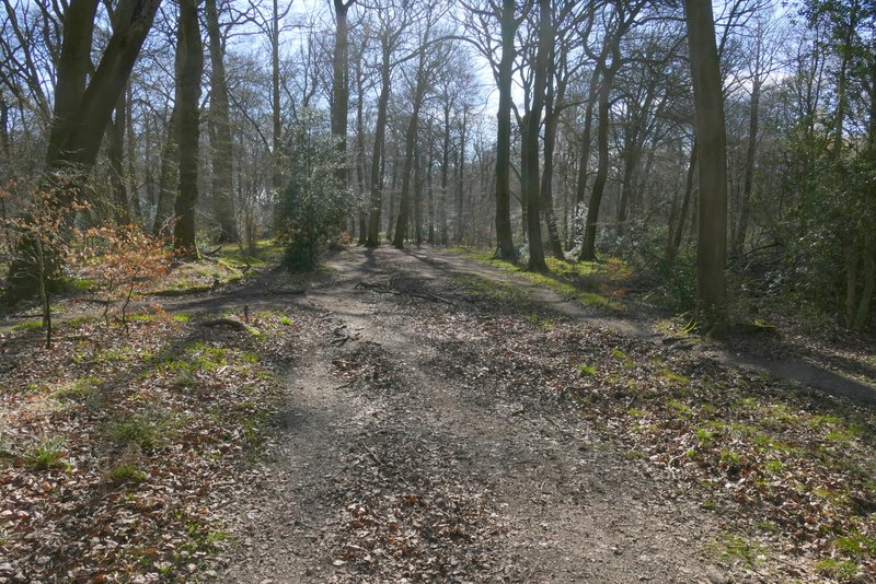
The Ridgeway in Linton's Wood
The Ridgeway in Goodmerhill Wood
The Ridgeway in Goodmerhill Wood, after it turns right
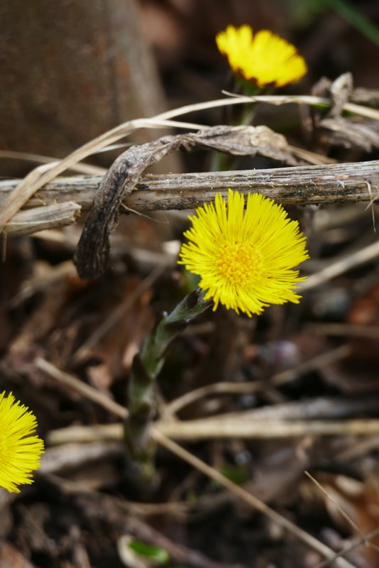
I crossed the road and continued along a footpath that crossed the grounds and drive of Chequers, the Prime Minister's country house, which was over to my right. The path then continued across a large field to reach the edge of Maple Wood, where it turned right and followed the edge of the wood for several hundred yards, with views towards Chequers to the right. I spotted mistletoe in some trees here, and also some Coltsfoot.
The Ridgeway crossing the grounds surrounding Chequers
The Ridgeway approaching Maple Wood
The Ridgeway running alongside Maple Wood
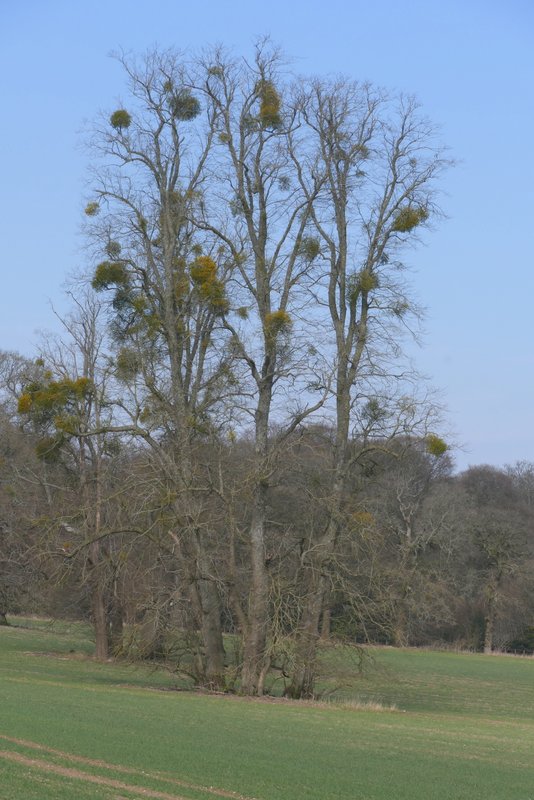
Mistletoe on trees near Chequers
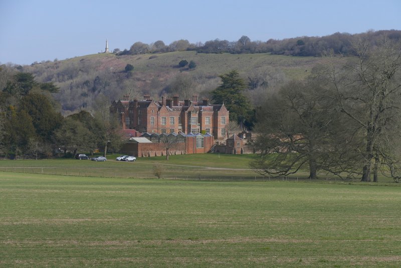
Chequers and Coombe Hill
The Ridgeway running alongside Maple Wood
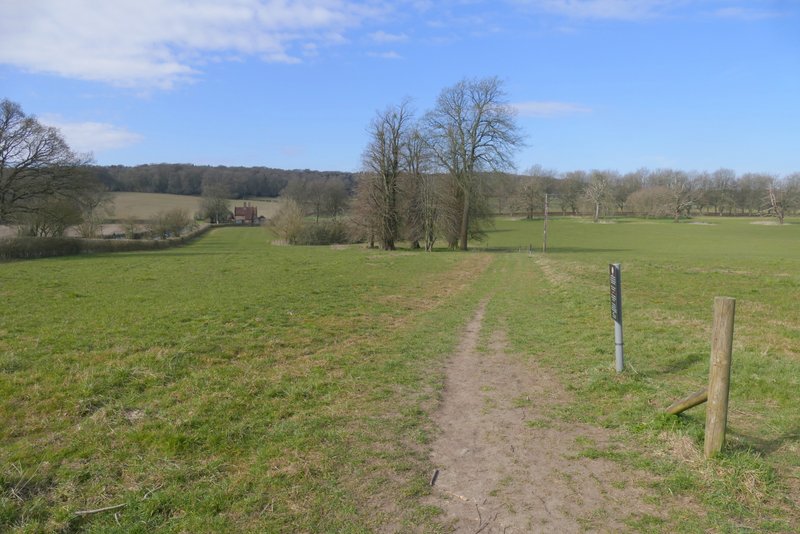
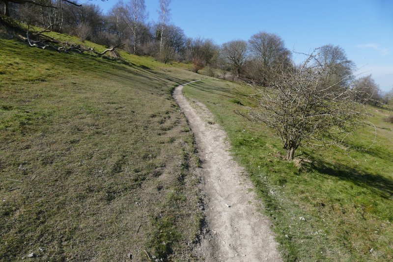
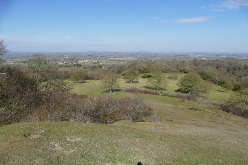
The path, now named Cradle Footpath on the OS map, then ran across a large grassy field to a gate on the far side, beyond which it continued through an area of grass and bushes, passing the end of a wooded valley on my right. Shortly before reaching a gate, I chose to take a slight detour up and back down Chequers Knap (on my right) to admire the view.
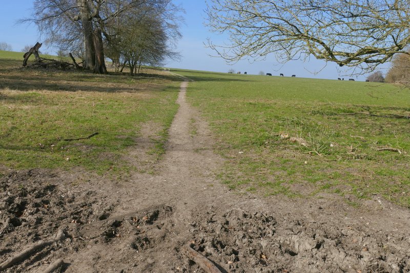
The Cradle footpath
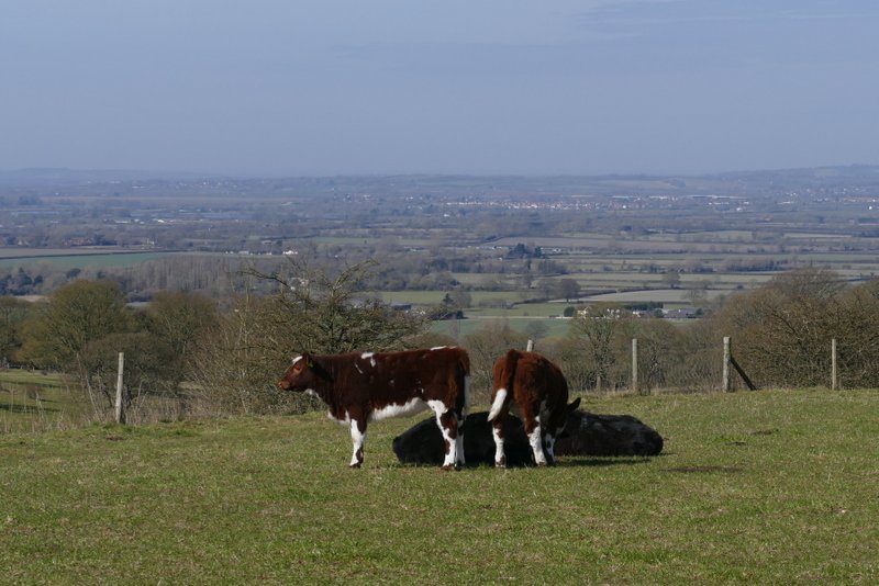
Calves admiring the view out to the Vale of Aylesbury from the Cradle footpath
The Cradle footpath
The Cradle footpath
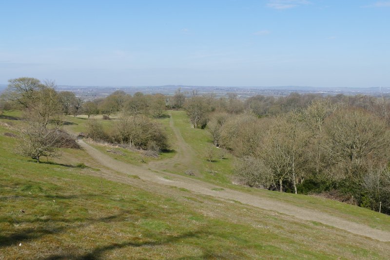
View from the Cradle footpath
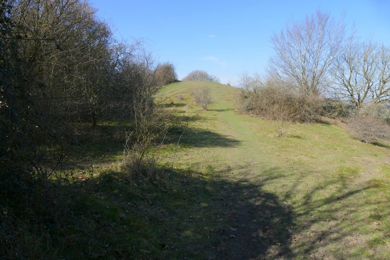
The short path to Chequers Knap
View from Chequers Knap