Pete's Walks - Cowleaze Wood, Crowell, Stokenchurch (page 2 of 6)
If you are considering walking this route yourself, please see my disclaimer. You may also like to see these notes about the maps and GPX files.
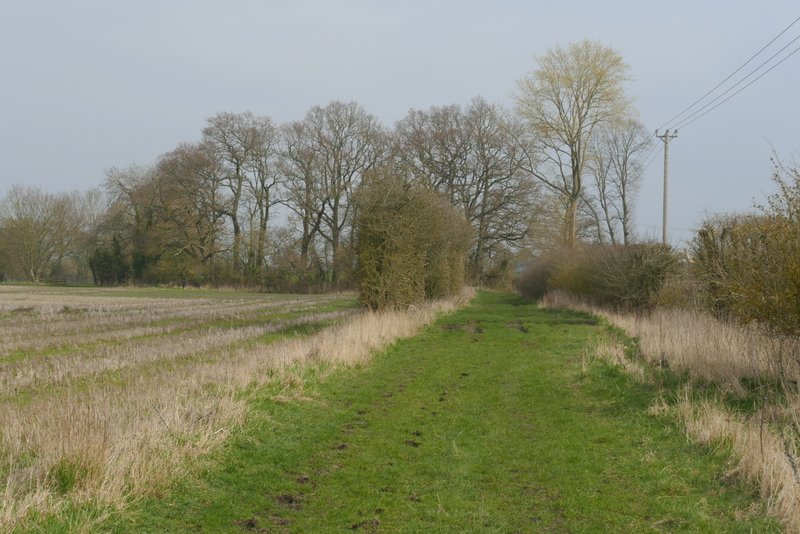
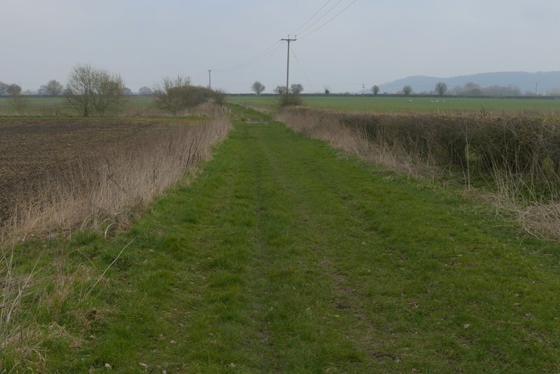
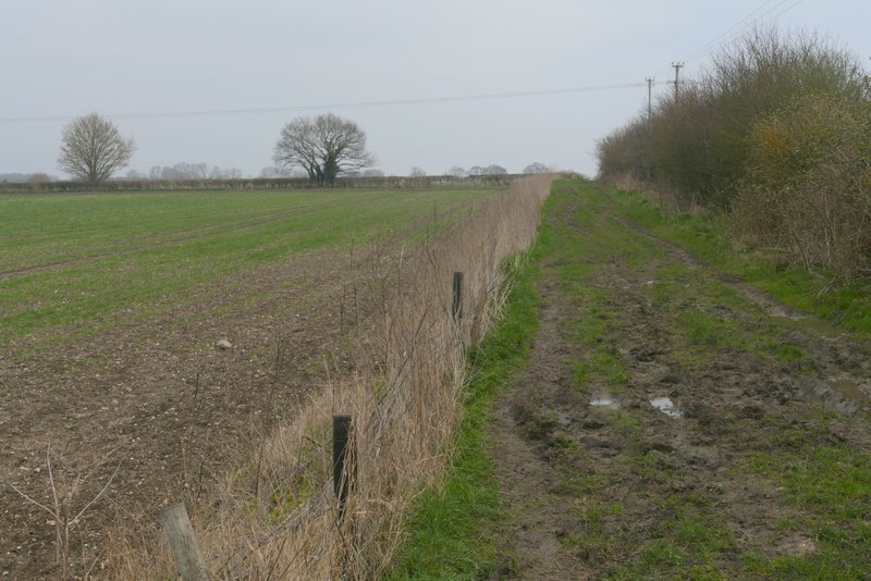
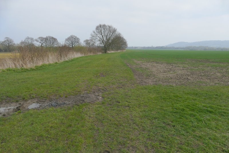
The path ended at a bridleway (Nethercote Lane), where I turned right and immediately passed under the motorway (part of the underpass was flooded). I was now starting a roughly two-mile section where I'd be walking northeast towards Chinnor, parallel to the Chiltern escarpment a mile or so away to my right (it was a very grey morning, the hills weren't very clear at all). The bridleway ran through a tree belt and then after about a quarter of a mile I reached the A40, I crossed over and went a few yards left then turned right where a finger-post said 'Byway leading to bridleways only' - whatever it is, it's named 'Lower Icknield Way' on the OS Map. The byway ran as a generally grassy and broad track between fields for about half a mile, then it ended at a junction where I went half-right along a bridleway for a few yards before turning half-left at another junction, to resume the same northeasterly direction as before (more precisely, it was more ENE than NE). The bridleway again was a broad and grassy track between fields, sometimes with a hedge on one or other side, occasionally on both. Most of the time now I had a misty view of a heavily wooded section of the Chiltern escarpment a mile or so away to my right. Just over half a mile from the junctions I came to a lane (so the map tells me - I must have been in a daydream because I have no memory of crossing it!), beyond which I continued along Lower Icknield Way for about another third of a mile.
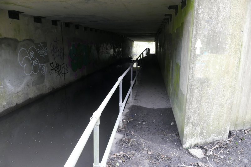
The flooded underpass below the M40
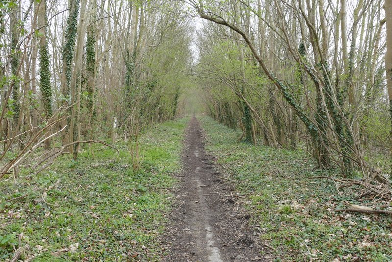
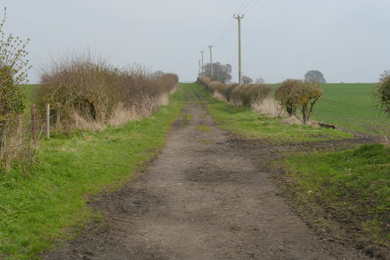
The bridleway after I turned right and passed under the M40
Near the start of the byway (Lower Icknield Way) after I crossed the road
Lower Icknield Way
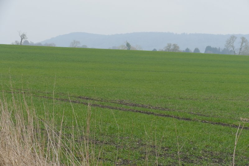
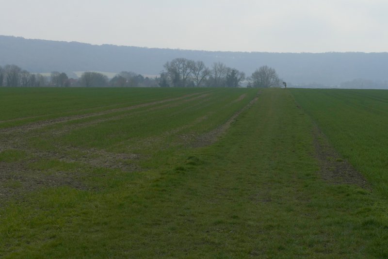
View towards the Chilterns, from Lower Icknield Way
Lower Icknield Way
Lower Icknield Way
Lower Icknield Way
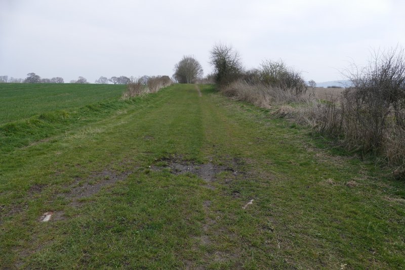
Lower Icknield Way
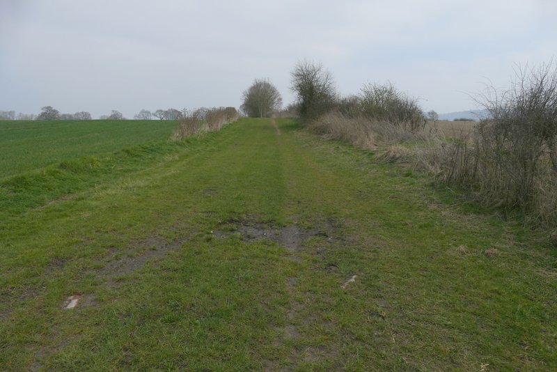
Lower Icknield Way
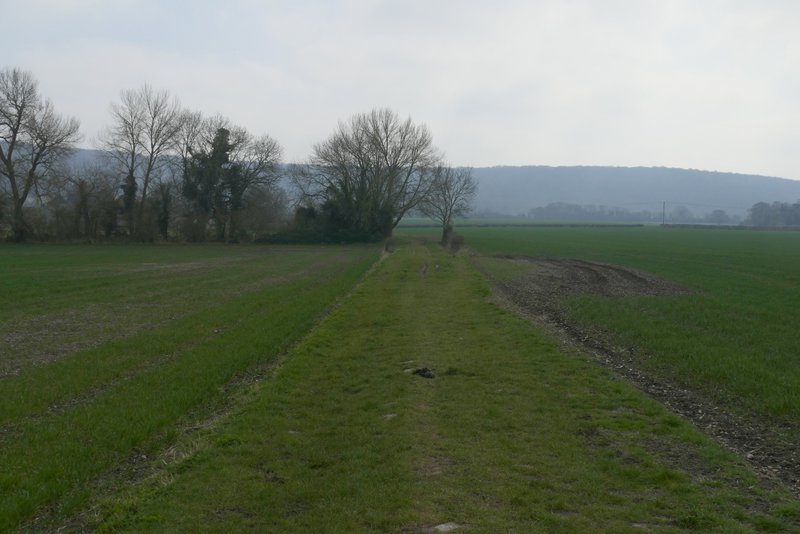
Lower Icknield Way (just before I turned right)
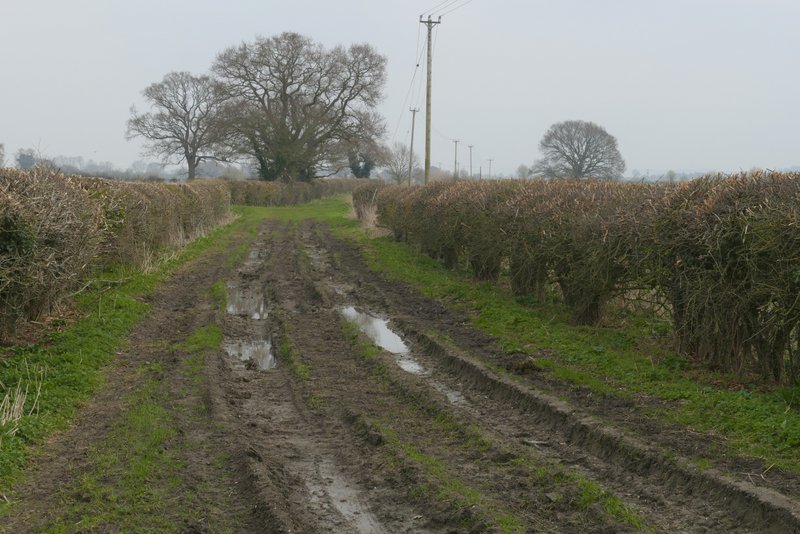
I then turned right along a bridleway (there was a waymark post indicating this junction, and a finger-post a little further on indicating a path going left). The bridleway ran for about half a mile to Crowell, with the long line of the wooded Chiltern escarpment ahead of me, another half a mile or so the other side of the village - I could also see houses on the edge of Chinnor, about half a mile to my left. The bridleway ended at the B4009 minor road (I'd crossed it earlier near the M40 at Lewknor) on the southwestern edge of Crowell, where I turned left, with the village church across the road. I then turned right along the sole short lane in this small village (sadly the Shepherd's Crook pub on my right is now a private house). The lane became a track after leaving the village, though still marked as a lane on the map.
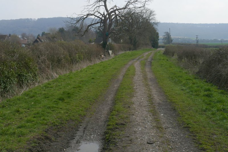
The bridleway to Crowell, after I turned right from Lower Icknield Way
The bridleway to Crowell
Approaching Crowell
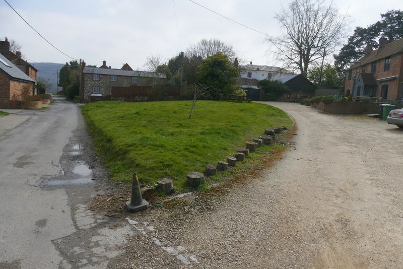
The lane through Crowell