Pete's Walks - Bledlow Ridge, Stokenchurch, Sprig's Alley (page 2 of 5)
If you are considering walking this route yourself, please see my disclaimer. You may also like to see these notes about the maps and GPX files.
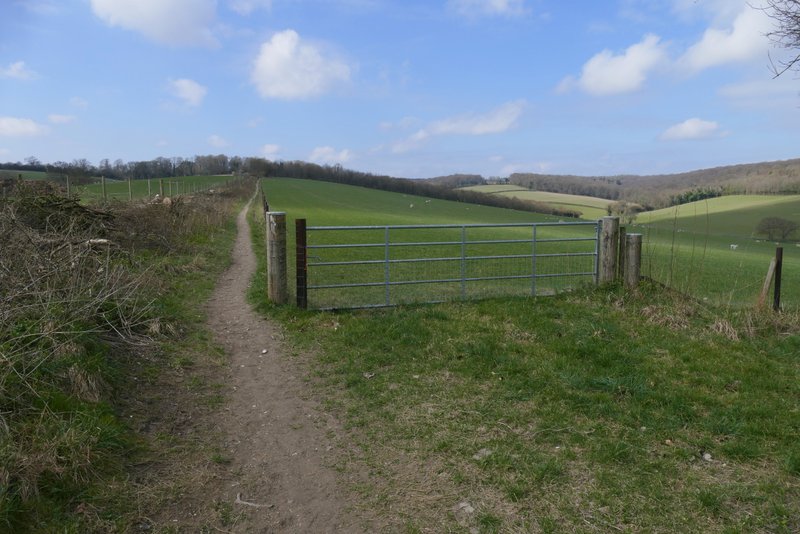
I very quickly left the bridleway by taking a footpath forking left from the drive. This ran a short way between trees and fences to a kissing-gate, beyond which it ran between wire fences with paddocks on either side. After a few hundred yards it went through a gate and turned slightly right, now with a fence on the left and both a fence and hedge to the right. The path was heading towards Stokenchurch, which I could see ahead of me in the distance. After a while the path turned slightly left, then a little further on went slightly right. I could hear road noise from the nearby A40 and M40, but it was nowhere near as intrusive as it had seemed when I did this walk in February 2024.
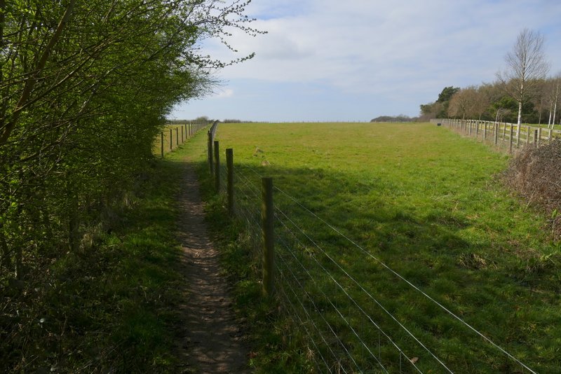
The path heading to Stokenchurch
The path heading to Stokenchurch

The path heading to Stokenchurch
The path heading to Stokenchurch
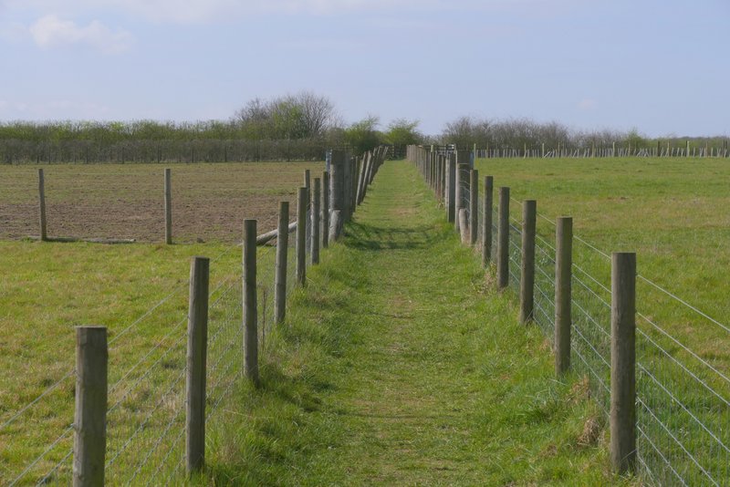
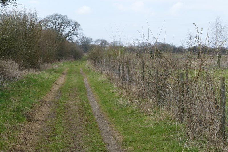
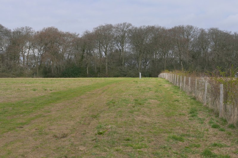
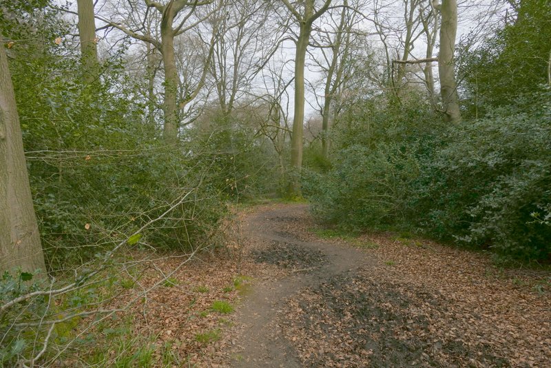
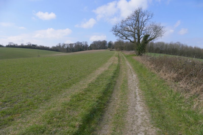
About three-quarters of a mile after leaving the road I came to a path crossroads where I turned right (the fingerpost was almost hidden in the end of a hedgerow on my left). This soon brought me to Pophley's Wood, and this was more pleasant as the path ran gently downhill through the wood for about a quarter of a mile. Beyond the wood the path continued beside a hedgerow on my right, with a large empty pasture on my left. It then passed a small plantation on my left to reach a path T-junction.
The path after I turned right, heading to Pophley's Wood
The path continuing through Pophley's Wood
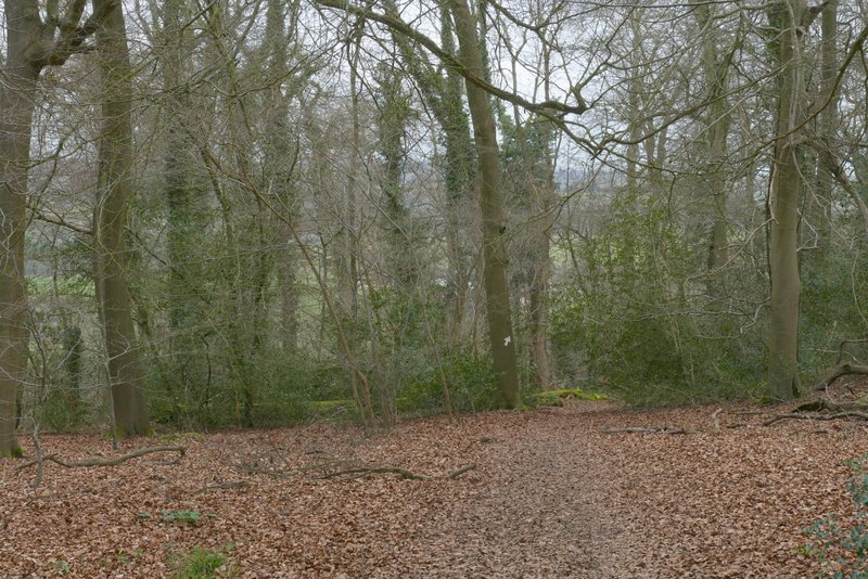
The path continuing through Pophley's Wood

The path continuing through Pophley's Wood
The path continuing from Pophley's Wood
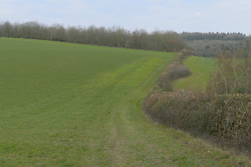
I was back on familiar territory as I turned left onto a section of the Chiltern Way. The path went through a hedge gap and continued very slightly uphill between the hedge and a wire fence beside a large pasture, with a pleasant view over the valley on that side. After several hundred yards the path switched to the other side of of the field boundary, now following a track. After a few hundred yards I went straight on at a path junction (where the Chiltern Way forked left towards Stokenchurch). The path ended when it reached a drive, somewhere near a property named Mallard's Court (according to the OS map), where I turned left.
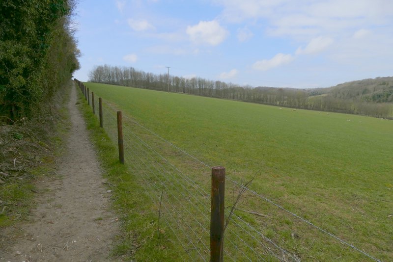
The section of the Chiltern Way after I turned left
Further along the same path
Further along the same path
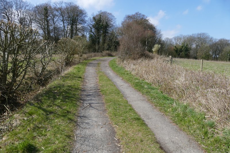
Further along the same path (no longer on the Chiltern Way)