Pete's Walks - Cholesbury and Herberts Hole (page 1 of 6)
If you are considering walking this route yourself, please see my disclaimer. You may also like to see these notes about the maps and GPX files.
I did this circular walk of about 9.9 miles on Saturday, 29th March, 2025. It was another repeat of a walk I first did in January 2024.
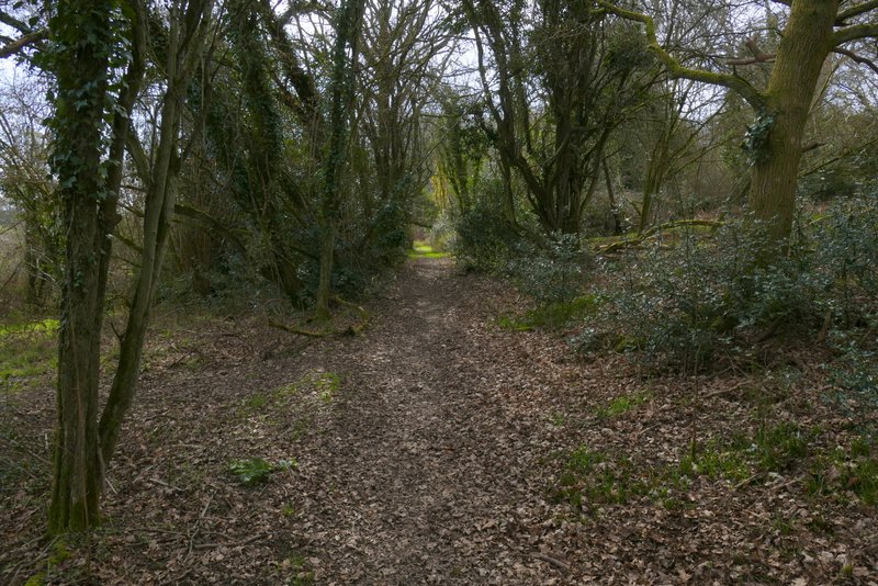
I parked by the cricket ground in Cholesbury (Grid Reference SP933071), and started walking about 9.35am. I walked along the road that runs through Cholesbury and the adjoining village of Hawridge, with the cricket pitch and then the common on my left. Near to where there was a road junction I turned left across the common, and went through a gap in the trees to reach the bottom of the common, where I turned right along a footpath. As I followed the path along a valley bottom, at some point the common changed from Cholesbury Common to Hawridge Common.
. 
The path after I turned left on Cholesbury Common
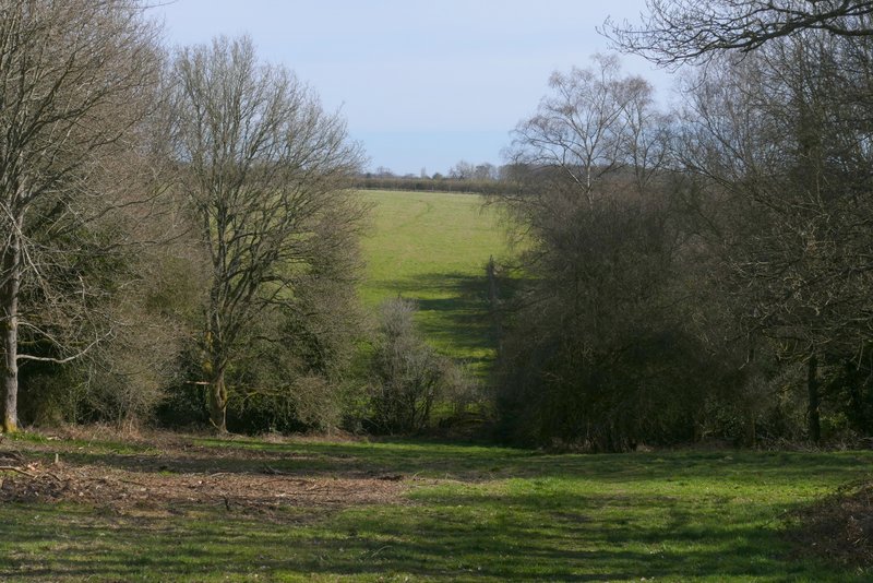
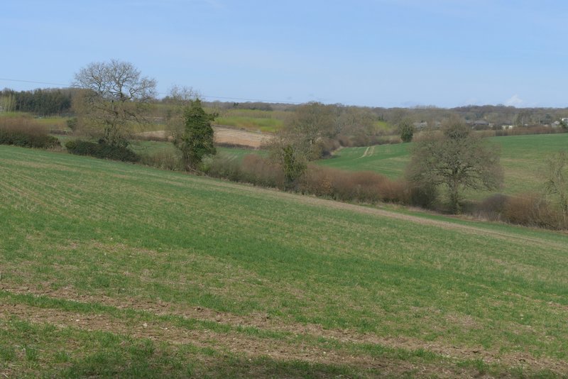
Hawridge Common
Hawridge Common
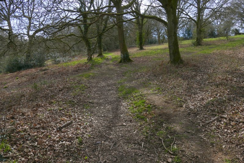
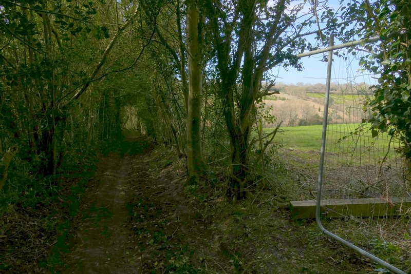
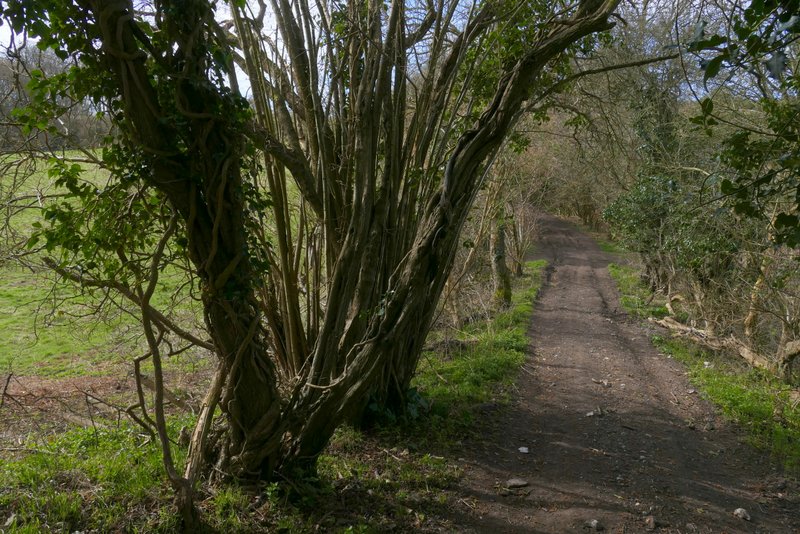
After a few hundred yards I reached a lane, where I went a few yards left and then took path on the other side that continued along the valley bottom with the common sloping up to my right. The common here was trees and bushes, then there was a small more open area. Just after this ended, I took a path forking right (I didn't see a sign or waymark). The path rose gently up through the common for several hundred yards, until it reached a lane. I turned right, to where the lane immediately ended at a junction with the road through Hawridge, and then turned left along the road.
Hawridge Common, after crossing the lane (I forked right shortly after the tree in the centre of this shot)
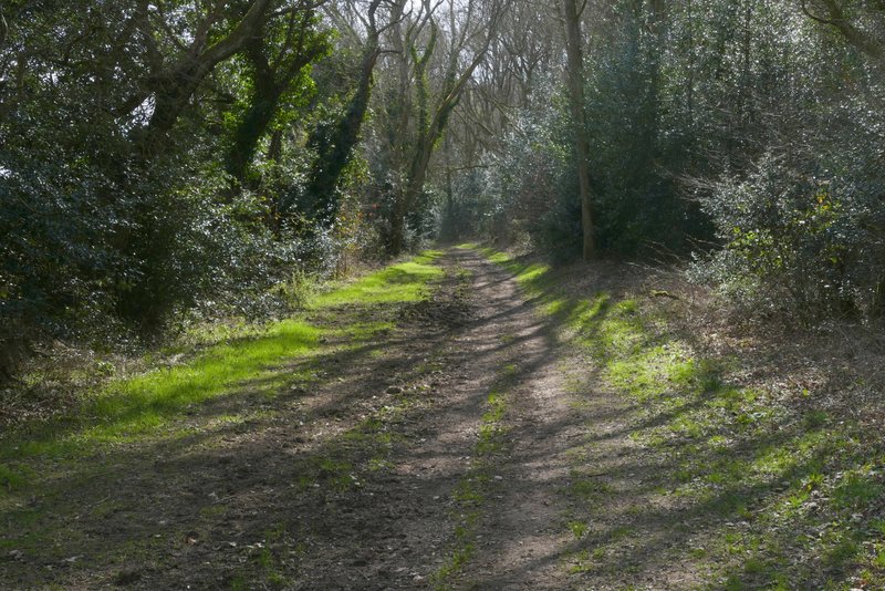
The path after I forked right from the bottom of Hawridge Common

Further along the same path
Further along the same path
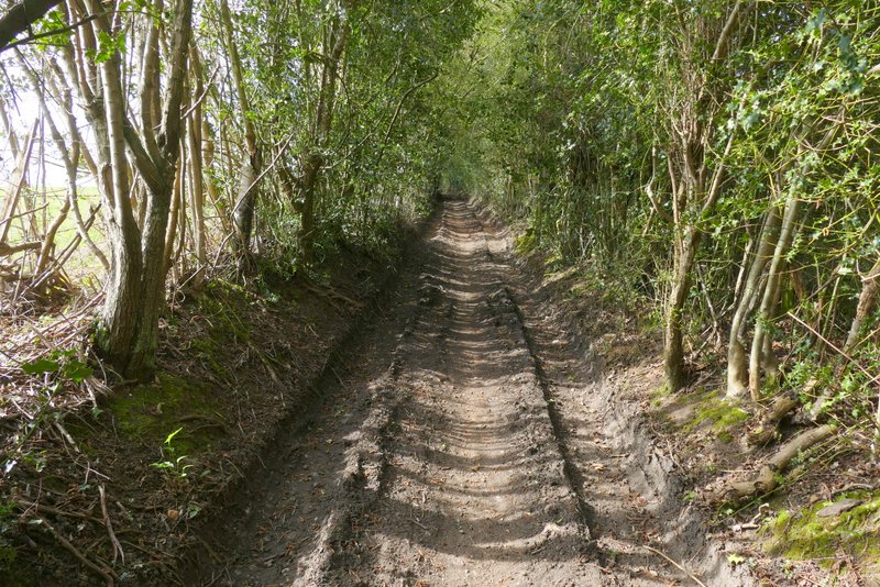
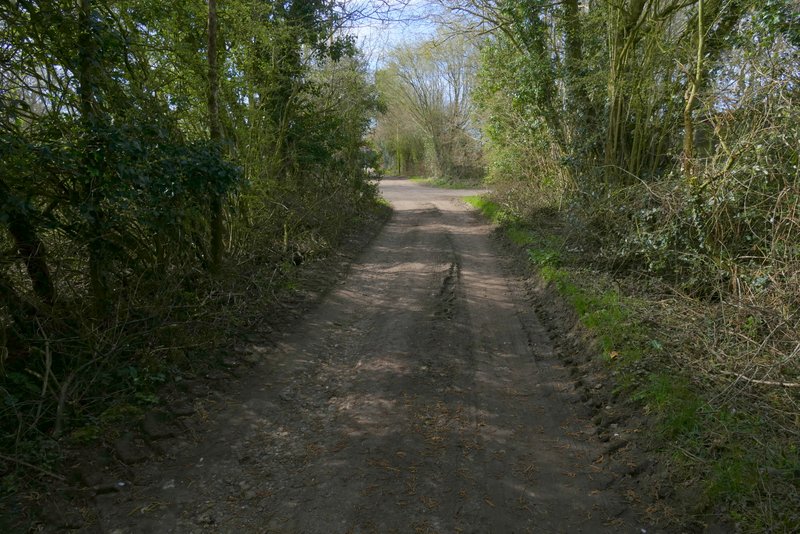
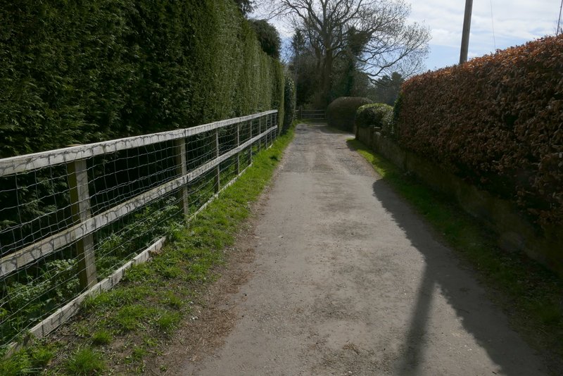
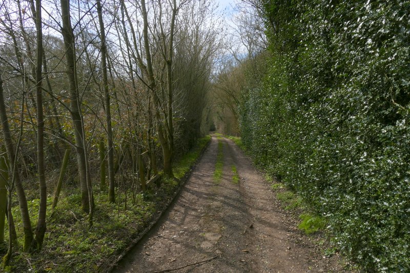
After one or two hundred yards, I turned right into a track named Hawridge Lane. I didn't see a sign saying Hawridge Lane, but there was a green fingerpost saying that it was a 'public right of way' (the OS map shows it as an 'other route with public access'). It ran between old hedgerows either side, and after a while dropped down into a valley (White Hawridge Bottom, I think - at least that's the name shown on the OS map a little further down the valley). It then climbed fairly gently up the other side of the valley. Near the top of the slope I passed Animal Farm (at least it used to have a sign saying that) on my left. I then reached the end of Hawridge Lane in Bellingdon.
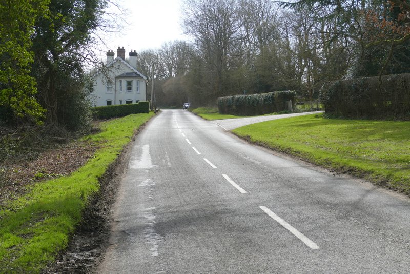
The road through Hawridge, after I turned left
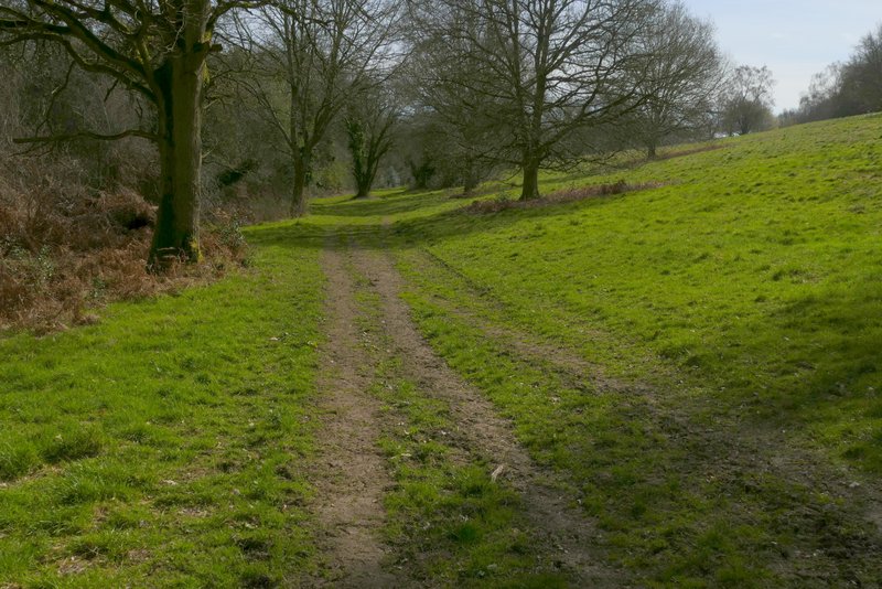
Near the start of Hawridge Lane
Hawridge Lane
Hawridge Lane, at the bottom of the valley
Hawridge Lane, near Animal Farm (not sure it's still called that)
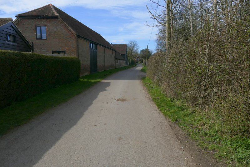
Hawridge Lane, entering Bellingdon
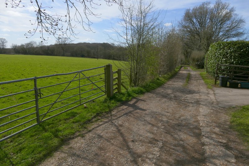
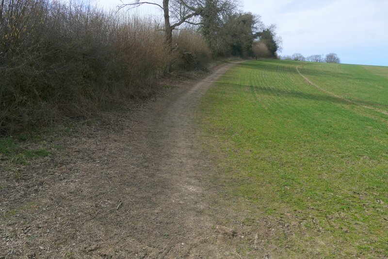
I turned left down the road through Bellingdon for one or two hundred yards and then turned right down Two Gates Lane. After a while this turned left and then quickly turned right, becoming a track and leaving the houses of Bellingdon behind. The track then gradually descended into another valley. Just before the valley bottom, the track turned left, but the public footpath continued through some bushes and then rose up the opposite side of the valley beside a hedgerow on my left.
Two Gates Lane, after it turns left
Two Gates Lane, after it turns right
Two Gates Lane (or its continuation)
The path from Bellingdon, rising up the other side of the valley
View to the right from the path from Bellingdon
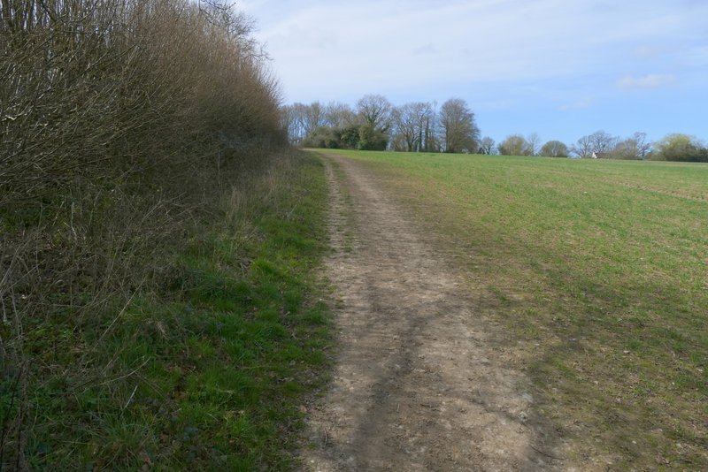
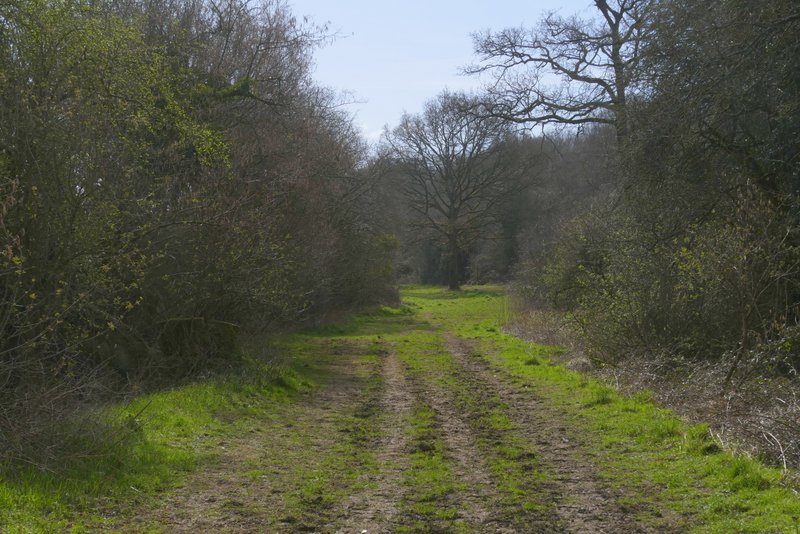
The path from Bellingdon
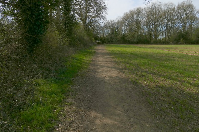
The path from Bellingdon, approaching Asheridge