Pete's Walks - Hambleden, Medmenham, Colstrope (page 2 of 6)
If you are considering walking this route yourself, please see my disclaimer. You may also like to see these notes about the maps and GPX files.
I continued along the drive, which after a few hundred yards entered some woodland. A white arrow on a tree on the right, just before the drive reached some large gates, then indicated where the bridleway forked left and soon followed a wall on the right. After a short distance the bridleway passed in front of a house on the left, continuing straight on down its drive.
The bridleway continuing along the drive
The bridleway continuing along the drive
The bridleway after it goes half-left from the drive
The bridleway after joining a second drive
The second drive
Looking right from the second drive (the grass in the foreground is on the roof of a shed)
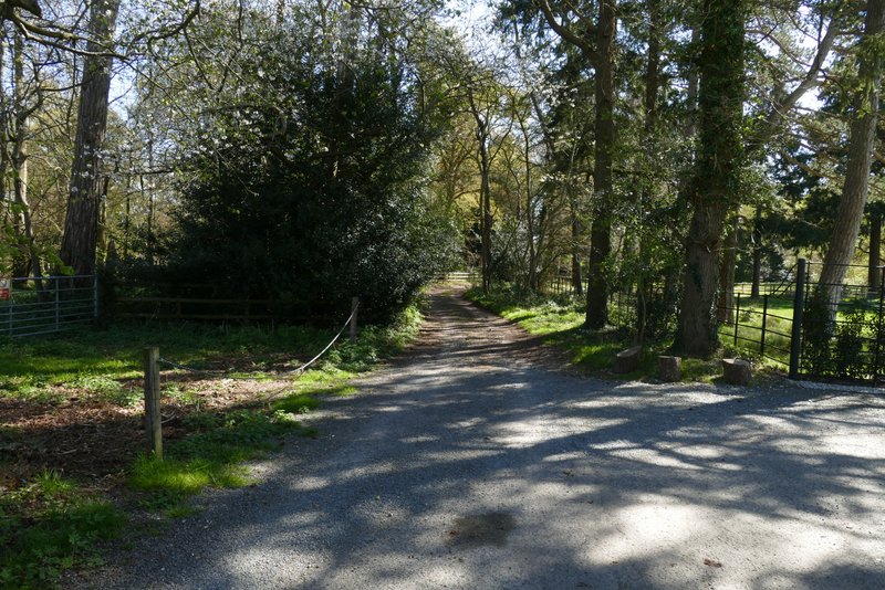
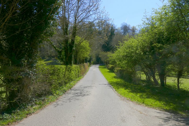
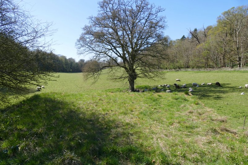
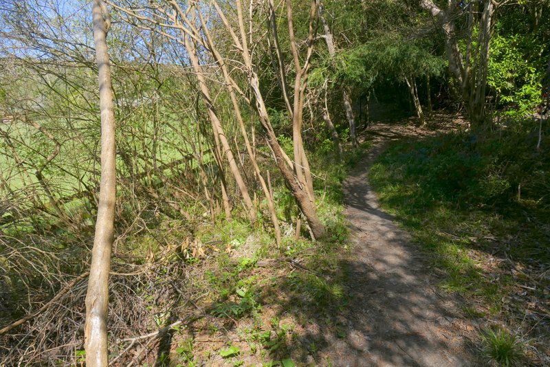
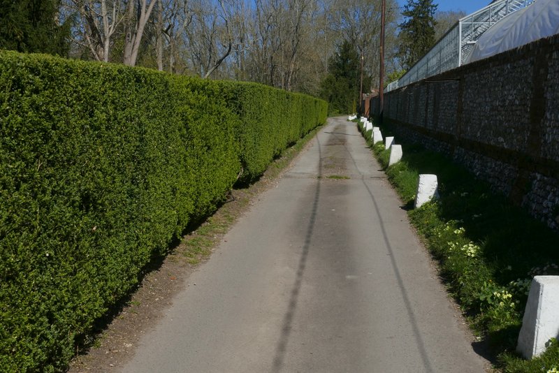
Shortly after the drive turned right, I ignored a footpath going left but then took a second footpath going very sharply left, almost doubling back on myself (the first footpath would have been a short steepish shortcut, but as it happened I would have missed seeing some Wood Anemones if I'd taken it). The path ran along the bottom of some woodland that sloped up to my right, and soon there was a large green field just to my left. Close to the far end of that field I came to a path junction where I turned right and went a short way uphill to reach a surfaced drive where I turned left. I followed the drive a little way, until the footpath forked slightly left across some grass to enter Hog Wood

Near the start of the path going sharply left from the bridleway
Further along that path
Further along that path
The short path going right and uphill
The drive at the top of the hill
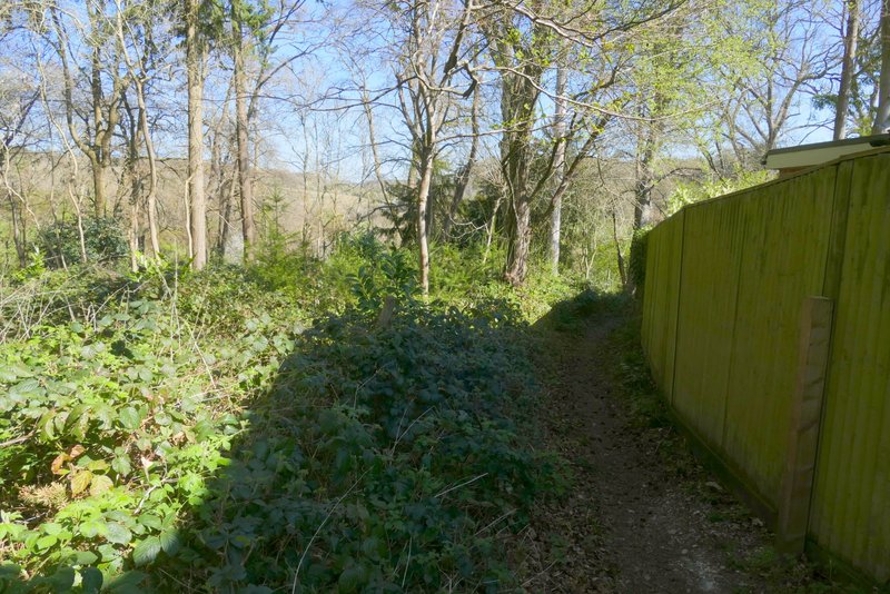
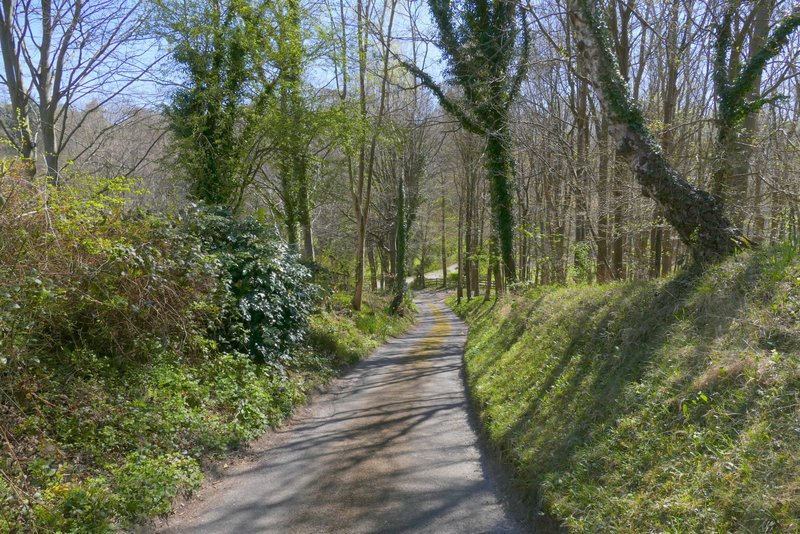
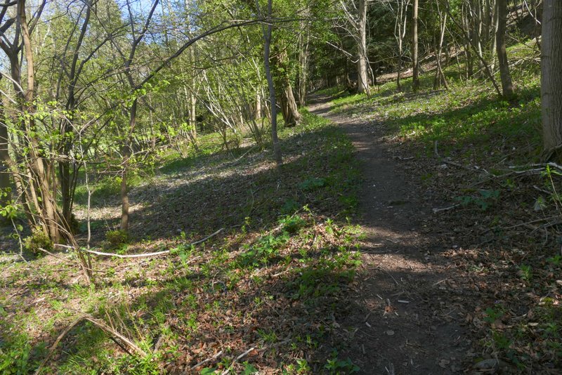
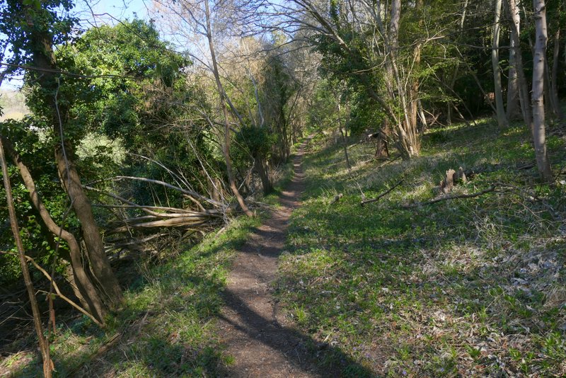
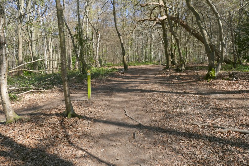
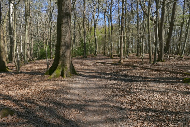
I followed the path through Hog Wood in a roughly northeasterly direction for about three-quarters of a mile, initially with some properties close by on my right. Navigation was straightforward, with occasional waymarks pointing the way. The path bent left at one point, but again a waymark made this clear. At some point I crossed the boundary between Hog Wood and Hollowhill Wood. Eventually the path reached a lane where I went a short way to the right to reach a lane junction (if you miss seeing the last waymark in Hollowhill Wood you would reach the lane at the junction).
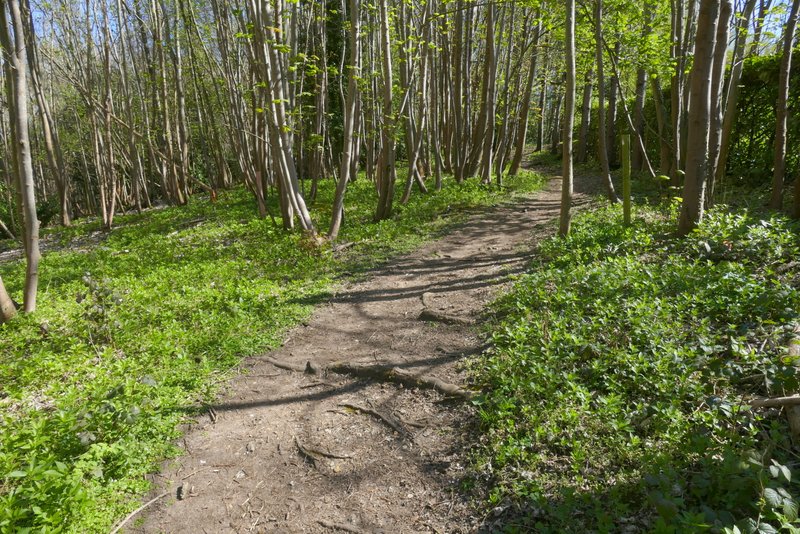
The path going northeast through Hog Wood

The path going northeast through Hog Wood

The path going northeast through Hog Wood
The same path, probably now in Hollowhill Wood
The path continuing through Hollowhill Wood
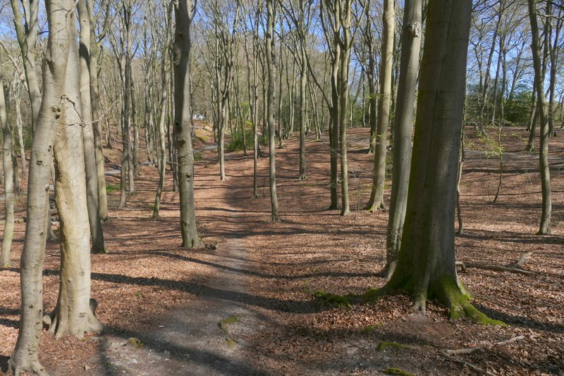
The path continuing through Hollowhill Wood, approaching the lane