Pete's Walks- Cholesbury, Kingsash, Chartridge (page 1 of 5)
If you are considering walking this route yourself, please see my disclaimer. You may also like to see these notes about the maps and GPX files.
I did this (almost) circular walk of about 10.6 miles on Friday, 11th April 2025. It was a repeat of a walk I did in November 2023, except for one slight alteration (shown as Alternative 1 on my Google map).
For the second time in just under two weeks, I parked by the cricket ground in Cholesbury (Grid Reference SP933071). I started walking about 9:35am, heading along the road away from the cricket ground. I continued on past the village hall on my right, and across a junction where Parrott's Lane goes right. Where the road turned half-left, I took a footpath on the right, through a meadow. At a path fork near the far end of the meadow I kept right. The path then continued through a small meadow, crossing it to a stile in a hedge, and then turned left along the edge of a small sheep pasture, before continuing between tall garden fences to reach a lane. Across the lane, a path continued through two flat arable fields to reach Little Twye Road (it looks like a lane).
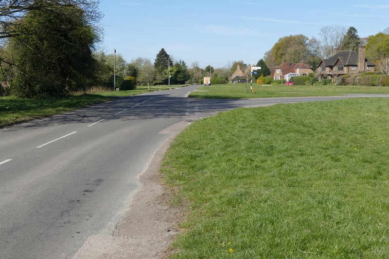
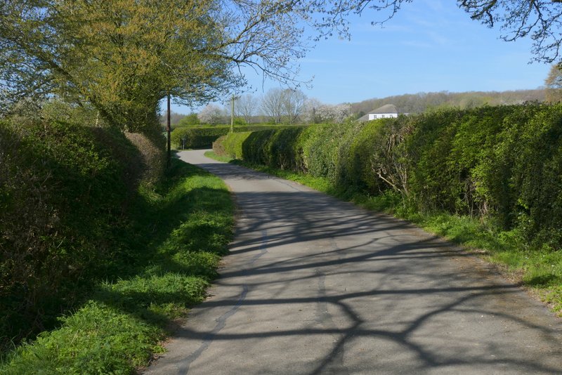
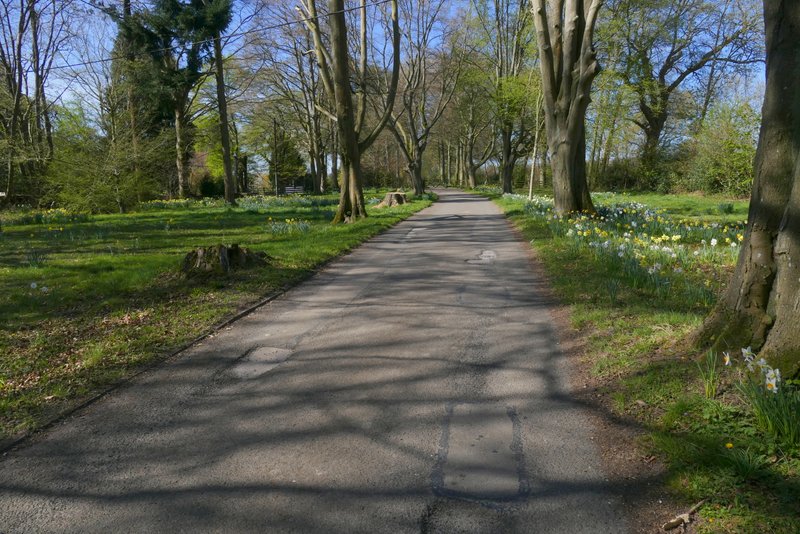
The road through Cholesbury
The road through Cholesbury - I took the footpath starting at a gate where the road goes out of view in this shot
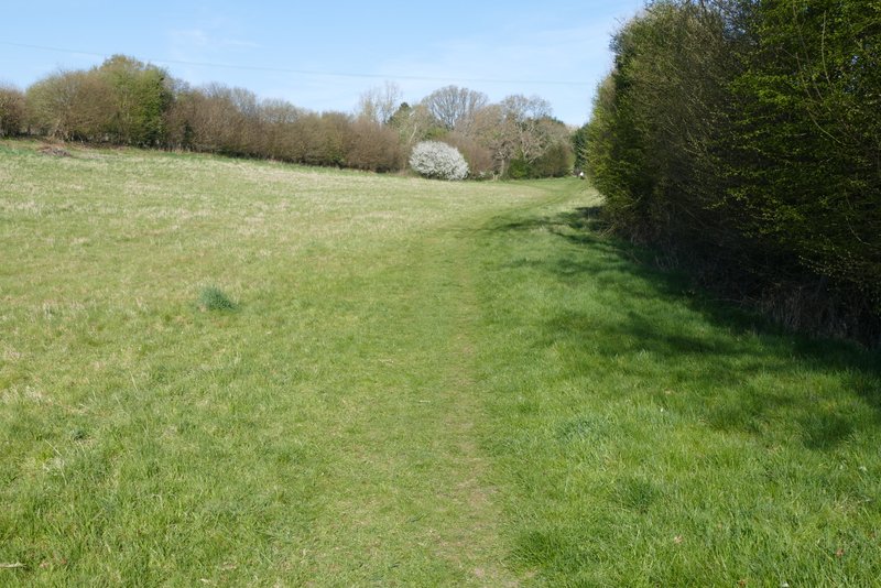
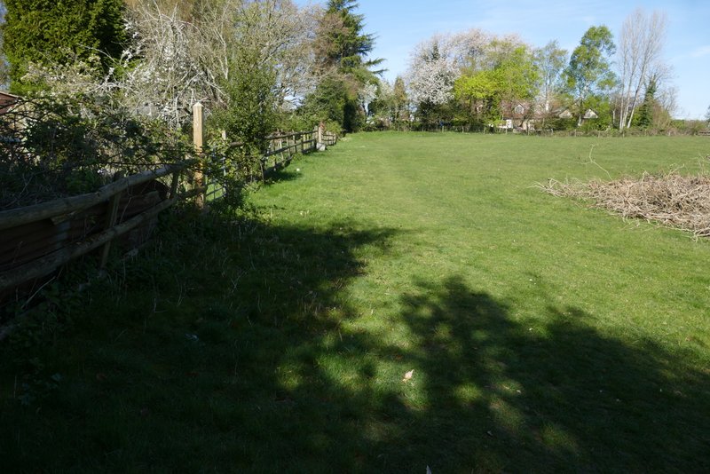
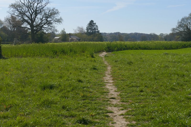
The footpath after I left the road through Cholesbury - where it forks near the end of this meadow, I needed to take the right fork
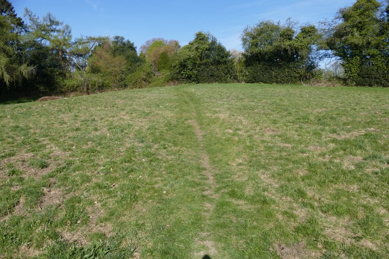
The footpath continuing through the next field - it crosses to a stile in the hedge
The footpath continuing through the next field
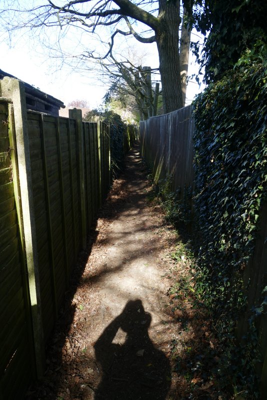
The path continuing between garden fences
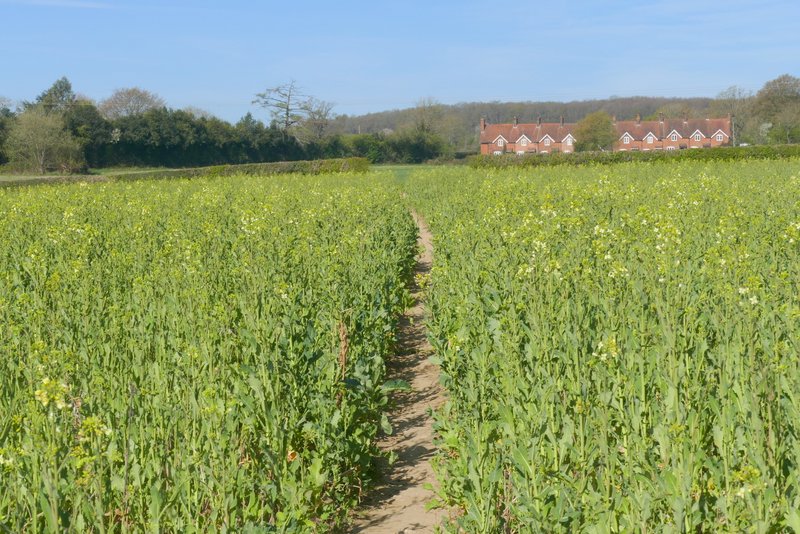
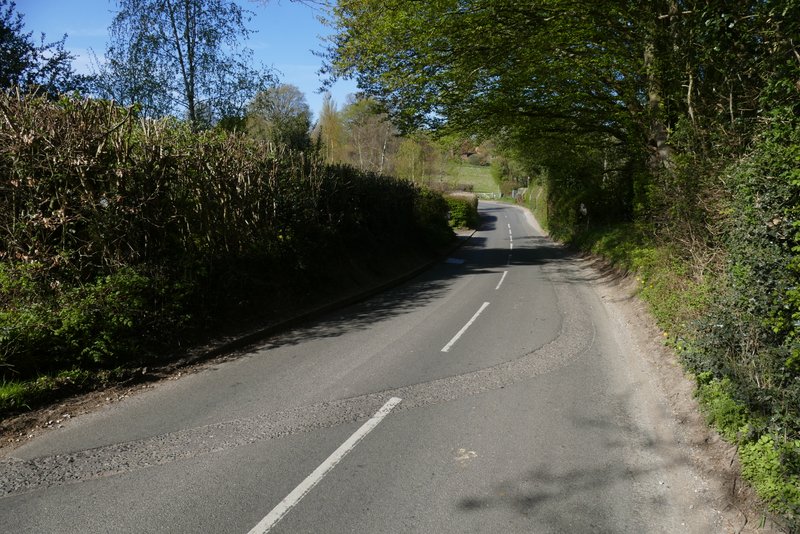
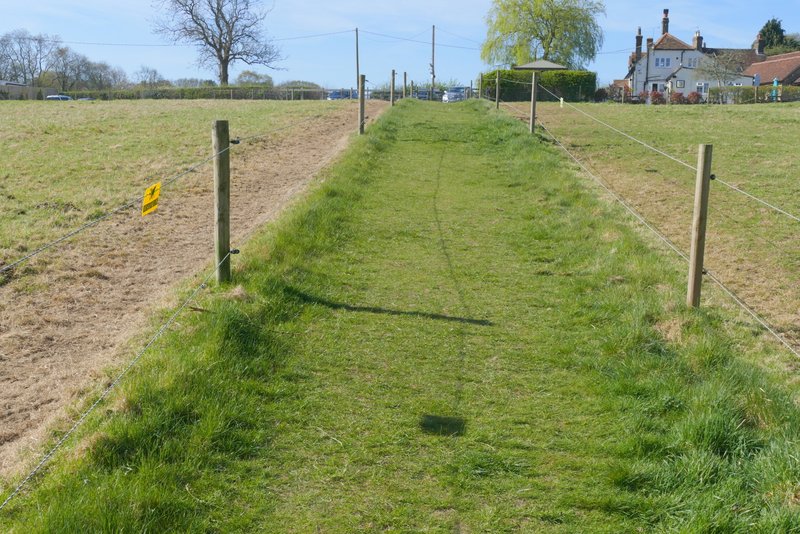
The path after crossing a Lane
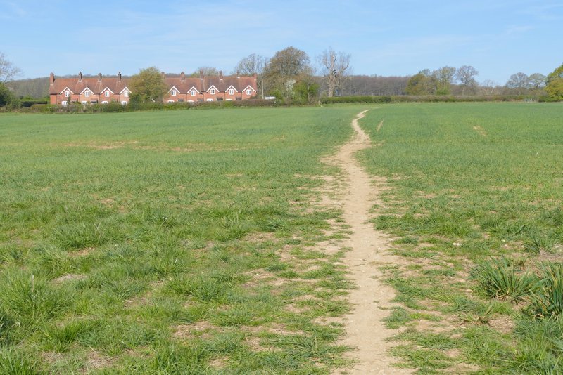
The path after crossing a Lane
Across Little Twye Road I continued down the drive to Bucklandwood Farm. After a short distance I turned left onto a footpath - I was now back on more familiar territory as this path is part of the Chiltern Way (which I'd now follow for about a mile). The path crossed another flat arable field and brought me back to Little Twye Road, where I turned right to enter Buckland Common. After a short distance two paths went off to the right very close together, and I took the second one. This descended across an empty pasture (I met a group of young people doing something for their Duke of Edinburgh Award here) to reach Bottom Road, then went slightly uphill between paddocks either side to reach another road by the White Horse Pub. I turned left along the road, then turned right at a junction. This road soon turned left, and just a short way further on I turned right onto a bridleway along the drive to Dundridge Manor.
The drive to Bucklandwood Farm
The path after I turned left from the drive to Bucklandwood Farm (part of the Chiltern Way)
The path after I turned right from Little Twye Road (the furthest of two paths going right from almost the same point) and then crossed Bottom Road
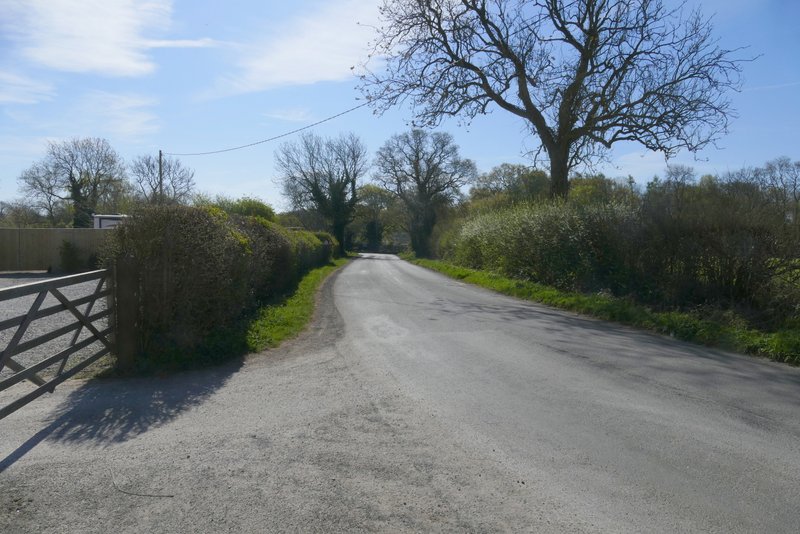
The road after I turned left at the end of the path - I turned right at the road junction where the road goes out of shot
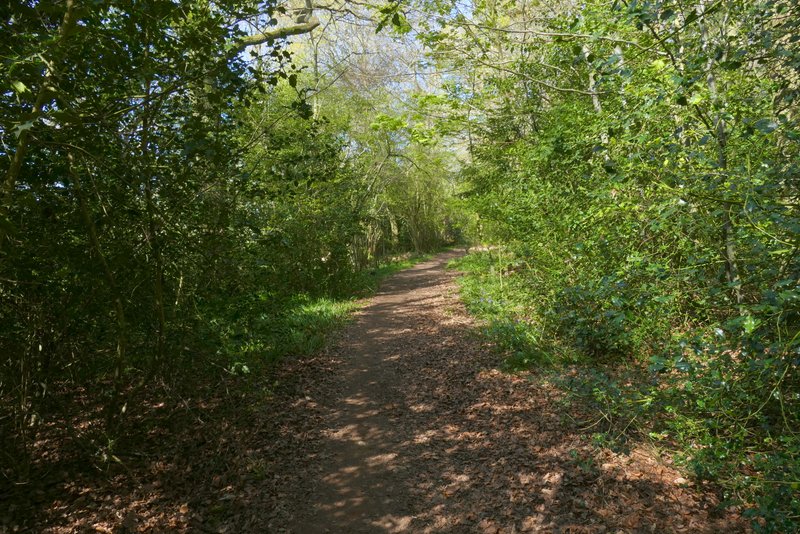
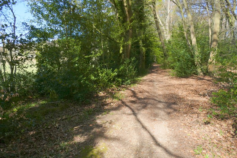
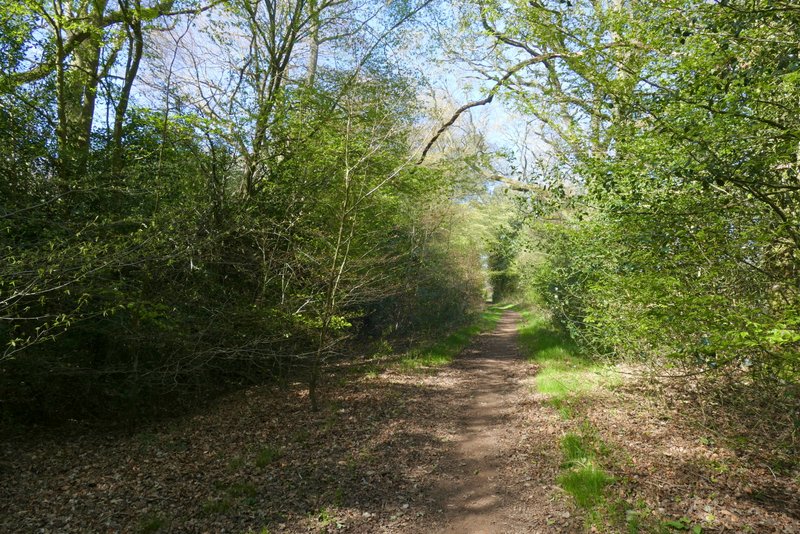
I went straight on where the drive turned left (to cross the dry moat around Dundridge Manor). I continued down the bridleway which soon reached a wood called Ashen Grove, where it turned right along the far side (the Chiltern Way went straight on here). After Ashen Grove there was a small gap before the bridleway entered Stonehill Wood. The bridleway then carried on just inside the northern edge of the wood until I came to a lane.
The bridleway along the drive to Dundridge Manor
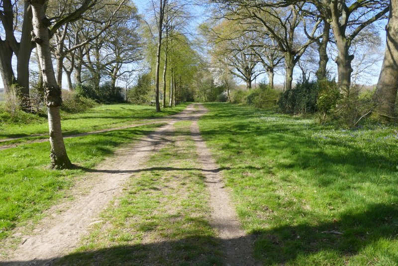
The bridleway continuing from Dundridge Manor
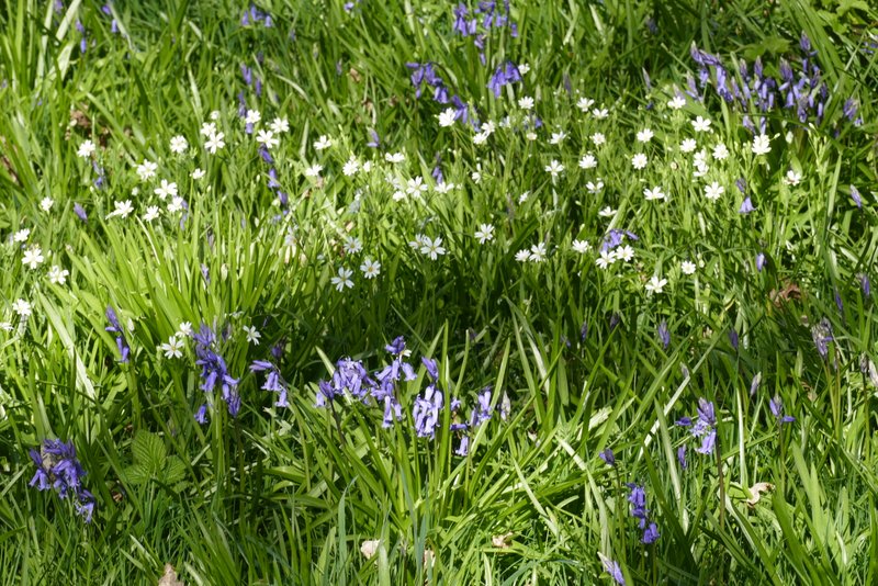
Bluebells and Greater Stitchwort
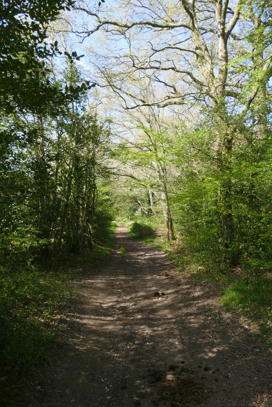
The bridleway continuing through Ashen Grove
The bridleway continuing through Ashen Grove
The bridleway continuing through Ashen Grove
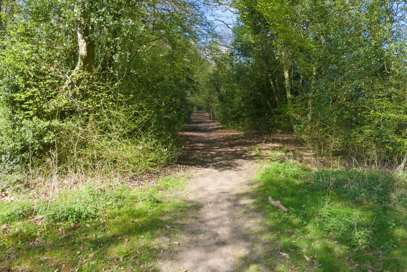
The bridleway entering Stonehill Wood
The bridleway continuing through Stonehill Wood