Pete's Walks- Wigginton and Drayton Wood (page 2 of 2)
Across Shire Lane a path led through a small wood then went diagonally (half-left) across a field to reach the start of a line of trees marking part of the course of the ancient earthwork called Grim's Ditch. I just followed the path past the near end of the trees, then went half-right across another field. This took me to a track called Browns Lane which I then followed left to reach a road junction in the hamlet of Hastoe.

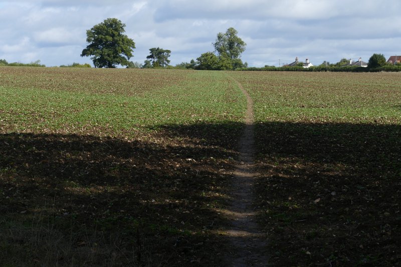
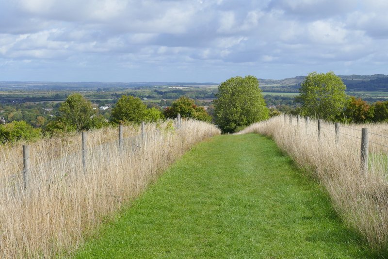
The path continuing to the line of trees along part of Grim's Ditch
The path from near Grim's Ditch going north to Browns Lane, Hastoe
I went a few yards left and took a private drive on the other side of the road. This ended at a cottage where public byways went either side. I took the one on the right, but immediately turned right again onto a footpath. Within a few yards I came to a junction where I forked left to go deeper into Grove Wood. After a few hundred yards I kept right where this path merged with one coming in from the left. After some way the path ran along just inside the edge of the wood on my right. At a waymark on a post, I went a few yards right to exit the wood, then turned left alongside what was now Stubbing's Wood.

Browns Lane, Hastoe

The private drive, Hastoe
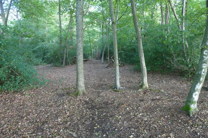
The path in Grove Wood, after I forked left

Further along the same path
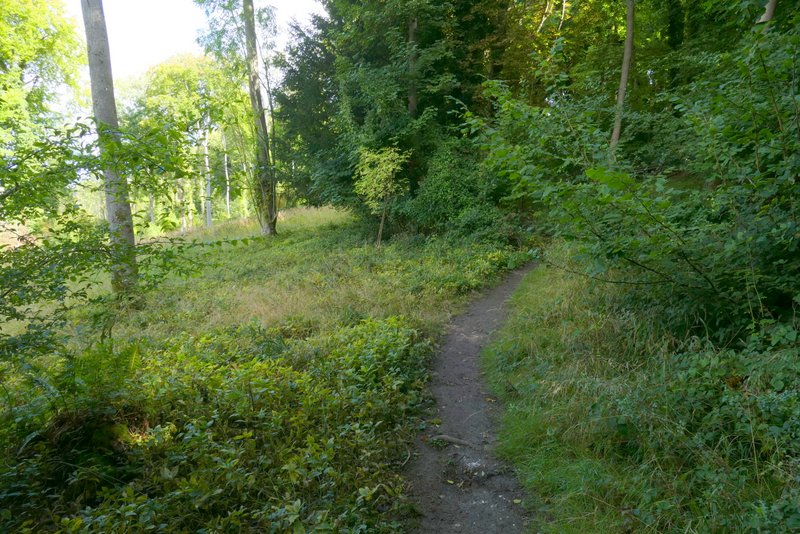
The footpath in Grove Wood, heading northeast

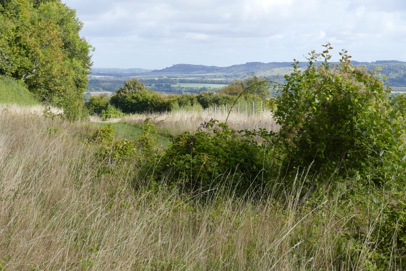
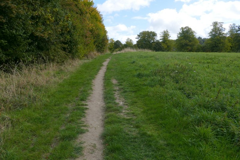
View out from Stubbings Wood
Not long after passing the end of the wood, the path started to dropp steadily downhill, with a tall hedge nearby on the right. Towards the bottom of the hill the path turned right, with the A41 dual carriageway down in a cutting on the left. The path led to a lane close to the edge of Tring (to my left) and on the opposite side a short permissive path (I saw some Common Knapweed here) led through a meadow into Tring Park.
The footpath along the edge of Stubbing's Wood
The path starting to descend towards Tring

The path continuing to descend towards Tring

The path continuing towards Tring Park (the A41 dual carriageway is over the boundary on the left)
The permissive path approaching Tring Park

Unfortunately it started raining just as I reached Tring Park, and I had to stop and put on my rain jacket. I passed the end of a footbridge over the A41 on my left, and a few yards further on took a path going half right across the park (this was the furthest of two paths starting at almost the same point), aiming towards an obvious chalky white scar in the grass. This is usually the nicest part of the route, and I'd hoped to see a few butterflies here, but the rain put paid to that. On reaching a wooded slope, the path climbed half-left to reach an Obelisk. Five paths led off from here, I took the second one on the right (second one counting anti-clockwise) which led uphill to another path junction within sight of a gate (to the left) leading from Tring Park into Wigginton. Beyond some cottages, I turned right and followed the road (Fox Road) through the village to a sharp turn to the left. Here I crossed over and turned left along the edge of a playing field, turning right in the corner. I then followed a short street to its end, crossed another street and followed the path ahead behind the village store and back to the car park.

The path through Tring Park

Looking back over Tring Park, from where I reached the wooded slope

The path rising through the trees to the Obelisk

Approaching the Wigginton exit from Tring Park

Fox Road, Wigginton
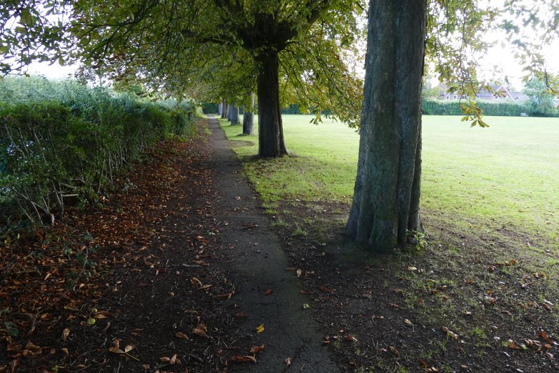
The first playing field in Wigginton - I turned right in the corner
As usual this was a pleasant walk, quite flat and undemanding except for the steep hill in Tring Park near the end. It was a shame about the rain (which arrived about an hour earlier than the forecast had said), as I'd been hoping to see some butterflies in Tring Park.