Pete's Walks - Milton Keynes Boundary Walk
If you are considering walking this route yourself, please see my disclaimer. You may also like to see these notes about the maps and GPX files.
Day 5 30/07/07 Near Astwood to Salford (7.5 miles each way)
Parked in Astwood.
Today was a nice sunny day, pleasantly warm with an occasional breeze. There was quite a bit of cloud in the sky, but I don’t think the sun ever went behind a cloud as it remained bright all the time I was walking. I parked in Astwood and started the day by walking about a mile back up the lane to Turvey to reach the bend where I finished the previous walk. This took about a quarter of an hour, and it was about 10.10 when I turned round and started heading towards Salford.
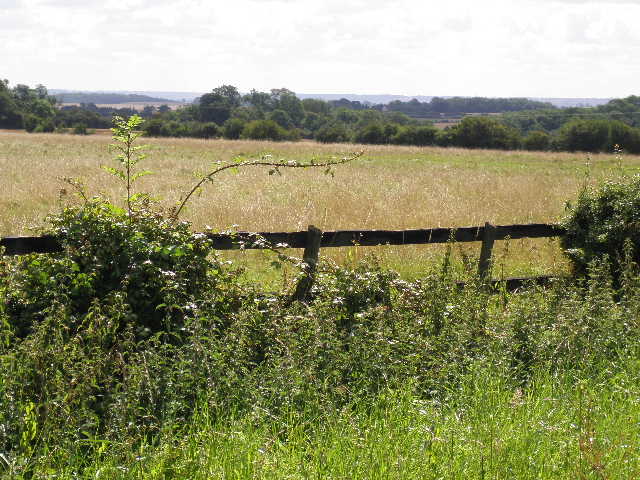
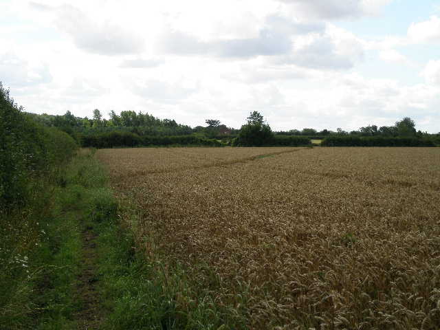
[1] View from near Dove House
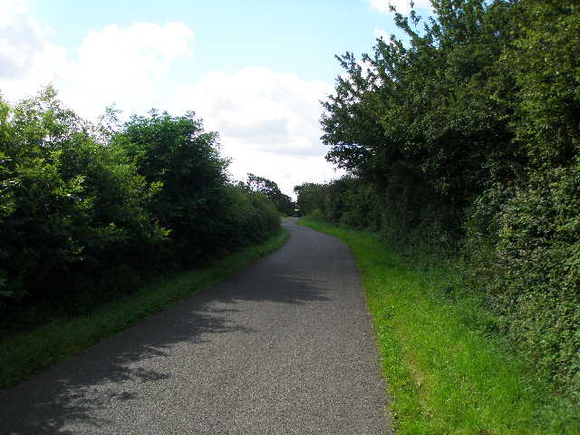
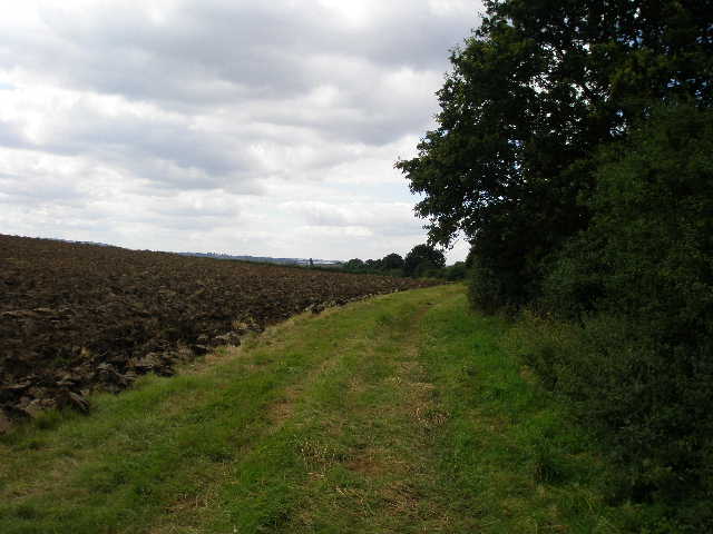
[2] The lane to Astwood
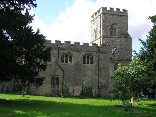
[3] Astwood Church
I followed the lane round to the left and then to the right, passing Dove House on my left, an octagonal building that was once a dovecot. There were pleasant views of the countryside here [1], as I soon passed Dovecot farm on the right. The lane descended and rose again as it crossed a small valley [2], then a long straight section descended very gradually to reach the A422 main road at Astwood.
I crossed the main road, and continued ahead through the village. The first building I passed was the church (apparently it has mediaeval pews and a 14th century font) [3], on my right, and a bit further on I passed the village pub, the Old Swan [4]. There were some other nice buildings here, and I gained quite a favourable impression of the village. The village green had been turned into a very attractive garden [5]. I turned right at a junction, and after about a quarter of a mile, by the last house on the left, I turned right to take a bridleway leading away from the village.
[4] The Old Swan, Astwood
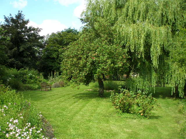
[5] Village Green, Astwood
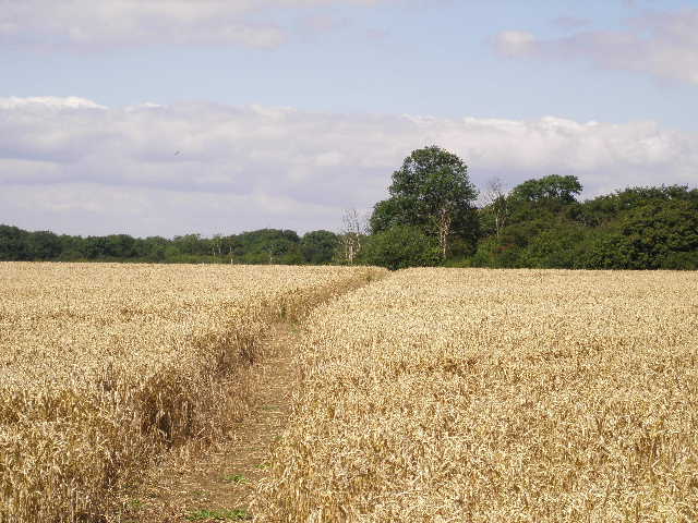
[6] Bridleway through first corn field after Astwood
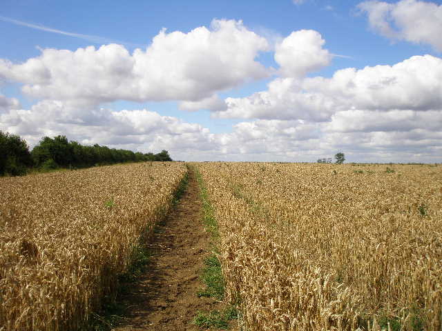
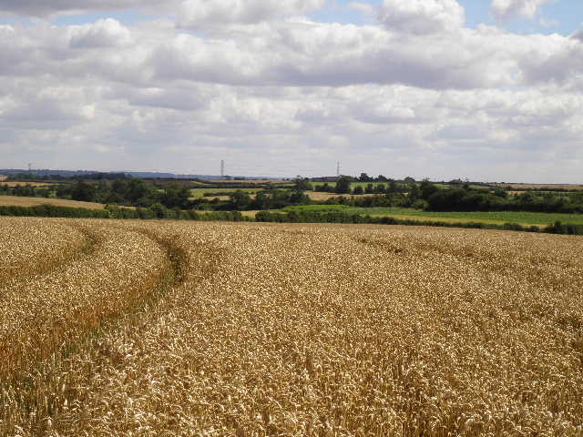
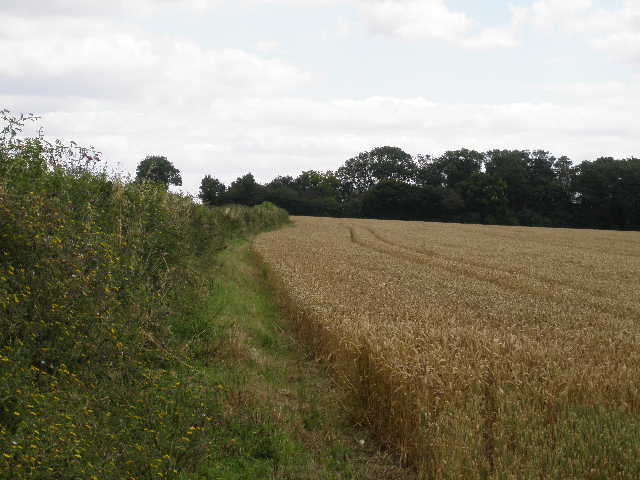
The bridleway first crossed a recently cut hay meadow, where I saw a Buzzard fly off from the left-hand hedge. As I neared the far side I became a bit concerned as I could not see any continuation of the bridleway through the next corn field, but then the path through the hay field turned sharply left towards the hedge, so I suspected the bridleway had been rerouted along the hedgerow. In fact, the bridleway turned right, and followed a clear path just a few yards inside the corn field from the left-hand hedge – it was definitely further left than the route shown on my map [6]. There was some Redshank and a few other plants along the path through the corn field. Again there were pleasant views across the countryside to my right – mainly more corn fields and occasional woods.
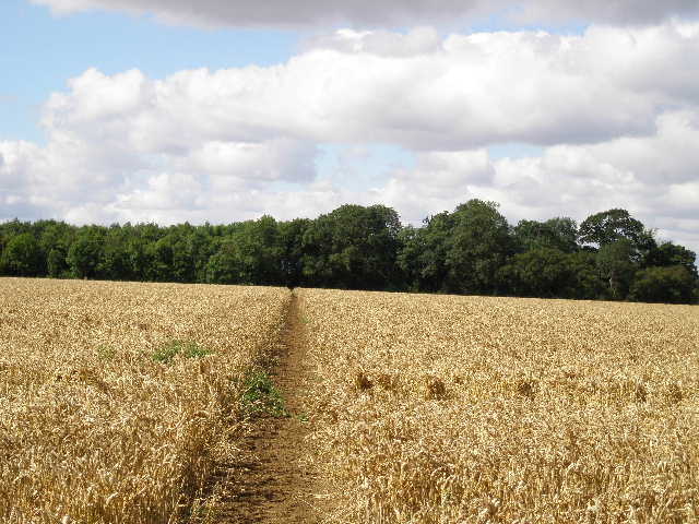
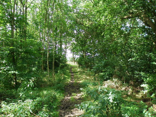
The bridleway continued half-right through the middle of the next corn field, then passed through a small plantation of young trees, where the path was quite muddy. It then continued through another corn field [7], heading towards a corner of a wood. The brown path through the crop was perfectly clear, and the horseshoe prints in the earth showed that it was regularly used. I passed through a short section of wood [8], then the bridleway turned left, between the wood on the left and a high hedge (I startled a Muntjac deer here on my way back). The path turned right and crossed another corn field, then started along a hedgerow in the next field – I was surprised to see some Lady’s Bedstraw here, I usually see it in more open areas such as grass downlands rather than hedgerows. The path soon went half-right to cross a corner of the field [9], and continued on through yet another corn field.
[7] Path through corn field, heading to small wood
[8] Path through the wood
[9] Field path about to cut across corner of corn field
There were still pleasant views over corn fields and woods – here the view opened out to the left over lower ground [10]. Eventually I came to another hay meadow (again recently cut) and followed the clear path half-right towards a gate in a hedge. Here the bridleway continued across part of a garden that had obviously been allowed to revert to nature. The path here was very muddy, and despite my best efforts to avoid the worst of it, my boots were very muddy by the time I crossed a broad wooden footbridge to reach a lane in the hamlet of East End (part of the parish of North Crawley).
I turned right down the lane, passing a couple of houses, then took a bridleway going left. This ran between hedges, and soon became rather wet underfoot and somewhat overgrown. After a few hundred yards I came to a gate with a ‘Beware the bull’ sign. I entered the cattle pasture and turned left alongside the hedge – several cows and their calves looked at me warily. In the corner of the field, the path turned right alongside a wooden fence, with a farm a short distance to the left. Here I met the bull, standing just a couple of yards from the fence. Rather than squeeze between him and the fence, I took a slight detour round behind him to reach the gate in the corner. A very muddy path then led on a short distance to reach a road, next to the entrance to the farm.
[10] View from just before East End
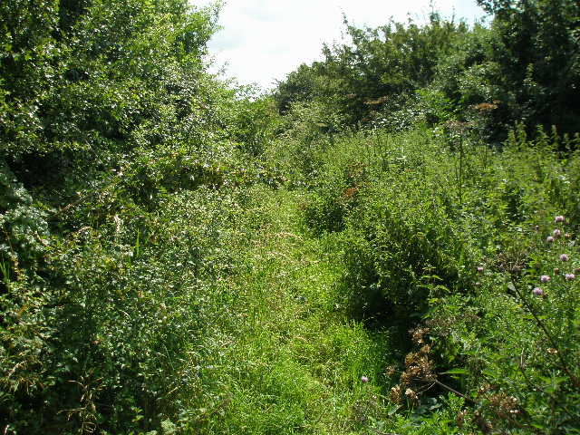
[11] Overgrown bridleway, along Shire Lane
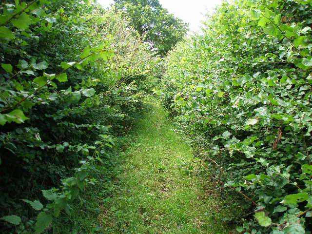
[12] Shire Lane
I turned right, and followed the road as it turned sharply to the right – there were no real verges and very tall hedges making it quite a blind bend, so I had to take great care here. I then turned left on a tarmac drive, where a lady who’d just parked her car greeted me with a warm ‘Good Morning!’. There were a couple of guinea fowl here, too. I followed the drive for about a quarter of a mile. Where it turned right into the entrance of a farm, the Milton Keynes Boundary Walk continued onwards along a rather overgrown green lane – this was Shire Lane, and I was now following the county boundary between Buckinghamshire (on my right) and Bedfordshire [11]. For about a third of a mile, it was rather slow going, as there was a lot of vegetation between the hedges either side. There was an obvious narrow path through the greenery, though, and the going wasn’t too bad, although again it was surprisingly wet underfoot in places.
The conditions along the green lane then changed. The path became mainly short grass (although I saw some Herb Robert growing here) rather than thick vegetation. The only problem now was that the hedges either side badly needed cutting back, and I needed to hold my hands up in front of me to clear the obtruding branches out of the way, being careful to avoid the occasional bramble [12]. This part of the path reminded me of a section beside a railway line on the last day of the Hertfordshire Chain Walk, where I had to take the same avoiding action. After a while the path became clearer. I could see over the hedge on my left to a hay meadow, where there was a flock of rooks and/or jackdaws. Beyond that I was surprised to see some modern blocks of flats, which seemed out of place in the countryside. Then I realised that they must be student accommodation for Cranfield University. I could also see the roofs of some of the University and Airfield complex, and I heard several small planes take off and land as I walked along.
[13] Path away from road near Cranfield University
[14] Buildings at Cranfield University
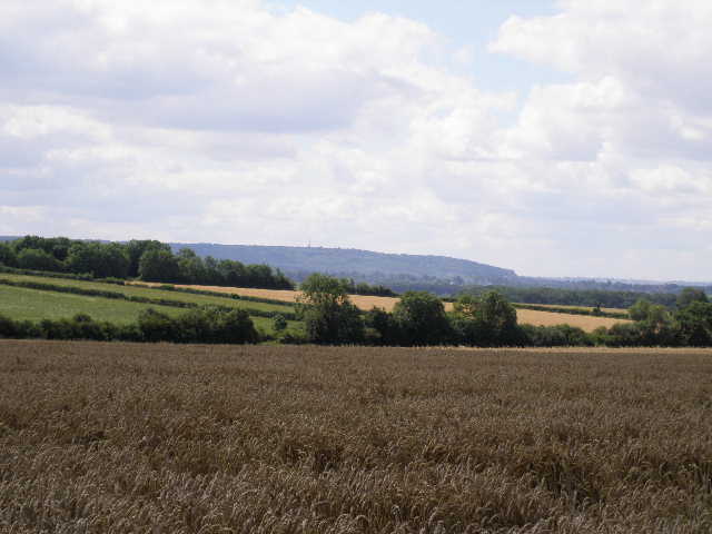
[15] Looking south towards the Greensand Ridge near the Brickhills
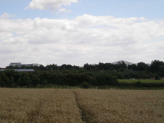
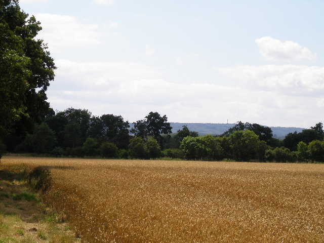
The green lane ended at a road junction, where I followed the minor road straight ahead, still following the county boundary. After a few hundred yards I turned right on a footpath, which crossed another couple of corn fields [13,14]. Here there were good views over the lower ground where Milton Keynes is situated, although the ski-dome was the only thing that indicated where the city was. I could also see, slightly to the left, the wooded slopes around the Brickhills (I should be walking through or near these villages in a few days time) [15]. On the far side of the second corn field, I turned left alongside the hedge. Across a stile in the corner I entered a large sheep pasture, with rather tall and rough grass. I continued beside the hedge for a short distance, then turned left across the field, passing a couple of waymark posts [16] to eventually reach a stile in the far corner (this is where I’d stop and eat my lunch on the way back).
Over the stile, I turned left along a minor road, passing the end of a wood on my right. By a junction where a road (the one I’d just been walking on) came in from the left, I turned right on a bridleway alongside a right-hand hedge. I had to follow this hedge for quite some way, over half a mile, through three fields. It was interesting seeing the work going on in these fields. The first had been ploughed [17], while the next was currently being ploughed as I went by. In the third field, a harvester was collecting up the strips of previously cut oil-seed rape, leaving only fragments of straw on the ground and occasionally loading a trailer parked at the side of the field with the valuable part of the crop (the seeds that are used to produce oil). There was quite a wide field margin where I walked through this third field, with a lot of tall wildflowers growing, mainly thistles, Teasel and Great Willowherb.
[16] Looking towards the end of the Sheep pasture
[17] Path beside the ploughed field
[18] Path beside yet another corn field
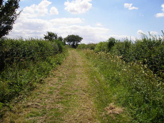
In the field corner at the end of this third field, the path went trough a hedge gap, close to a farm, then turned left alongside the hedge, with a corn field now on my right. The path then went left through another hedge gap, to re-enter the field where the oil-seed rape was being harvested. After a couple of hundred yards, I turned right through the hedge, and now continued with a hedge on my left through yet another two large corn fields [18]. Not for the first time, I noticed several Peacock butterflies along here. At the end of the second field, I turned right along the field edge, and soon had a wood on my left [19]. After the next field corner the path switched to the left side of a hedge, beside another corn field. I then entered a very pleasant green lane [20], where a broad path had recently been cut through the grass (presumably not for my benefit, but to enable the harvesters to reach the fields). This was a very pleasant walk now, in bright sunshine, with Peacock and other butterflies enjoying the Teasel along the hedgerows.
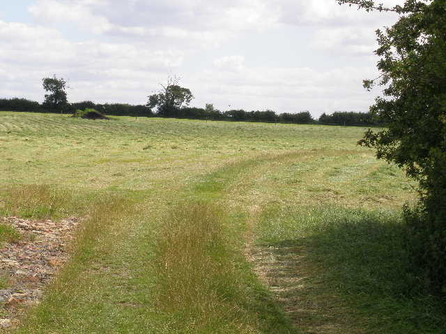
At the end of the section of green lane I turned right on a short and wide section of cut hay, with a cut hay meadow ahead of me [21]. I then followed the hedge on my right as it turned right, now with a couple of small horse paddocks to my left. I went through a metal gate, with a house on my right, to reach a lane on the edge of Salford. I turned left, and followed it for a quarter of a mile to a junction where another lane came in from the right. This was my turnaround point for the day, and so I turned and started to make my way back to Astwood.
[19] Path heading towards Salford
[20] Green lane, approaching Salford
[21] Hay meadow near Salford
I was pleasantly surprised that it was only 12.40pm when I turned round. I enjoyed the walk back in the warm sunshine, and got back to my car about 15.10pm. I thought I’d done very well time-wise, as I thought today’s would be the longest walk I would do on the Milton Keynes Boundary Walk. It was only when I got home that I realised I’d forgotten to take into account the three-quarter’s of a mile extra lane walking I’d done at the end of the previous walk! Doh! Still, I did my usual fifteen miles in five hours plus 15 minutes for lunch, which is about par for the course. I didn’t take so many photos today, only 36, and none at all of wildflowers.
This was a very pleasant walk on a lovely day. It was very flat, with no real ups and downs at all. There were a lot of corn fields to walk through, but there was enough variety in between them that I didn’t get bored with them. Despite the flattish landscape, there were some quite nice views at times. Overall, it wasn’t the most interesting of walks, but very pleasant nevertheless.
Total Distance: 38.4 miles each way (approximately)