Pete's Walks - Berkshire Loop
If you are considering walking this route yourself, please see my disclaimer. You may also like to see these notes about the maps and GPX files.
Day 3 2/07/11 Burchett's Green to Aston (6.9 miles each way, approximately)
Parked in Burchett's Green (opposite the school)
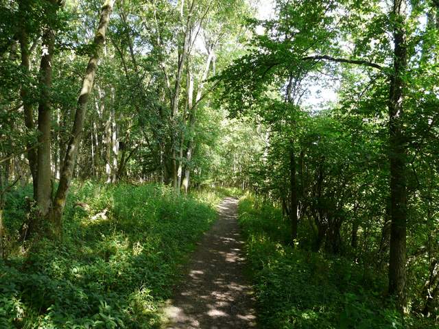
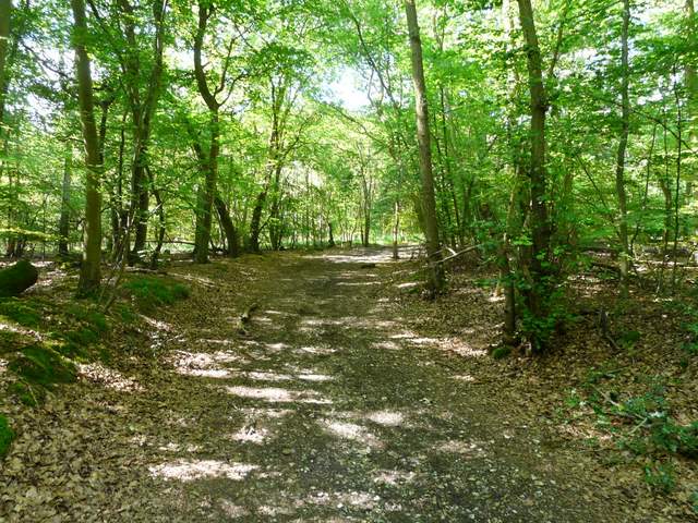
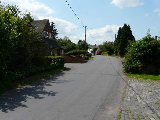
Again I was lucky with the traffic on the motorways (M1/M25/M40) this morning, so it only took me about 50 minutes to reach Burchett's Green and I started walking at 9.25am. It was warm and sunny as I set off, and would remain so for much of the walk. I took the footpath opposite the school which soon brought me into an area of tall grass and then led through what the guide book describes as a 'Bamboo plantation' [1], almost certainly the first I've come across on any of my walks. The path then followed the edge of a grassy meadow, where I saw several Ringlet and Meadow Brown butterflies and also a Marbled White.
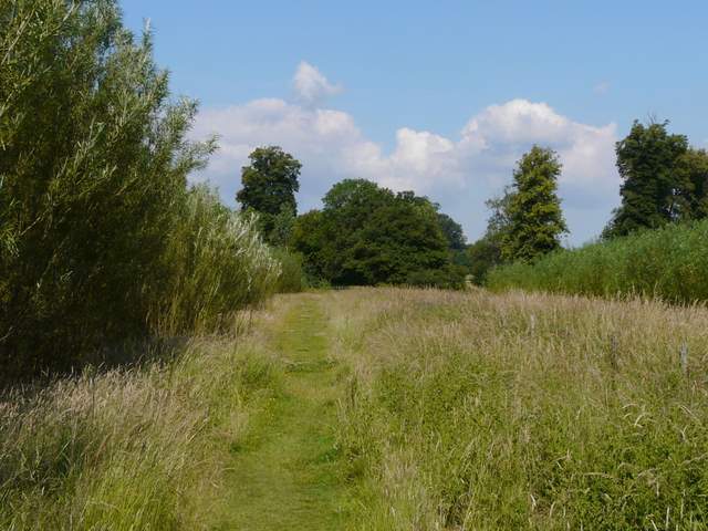
[1] The path from Burchett's Green, passing the bamboo plantation
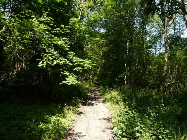
[2] The path along the former drive in Ashley Hill Forest
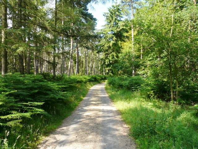
[3] The drive in Ashley Hill forest
After passing through a small belt of trees I reached a minor road, which I followed to the right for about 200 yards. A path then forked left into Ashley Hill Forest, the path being partly surfaced with tarmac as it was a former drive [2]. I spotted another butterfly here, a Silver-washed Fritillary - this was only the second time I'd seen one on one of my walks. The path soon joined a gravel drive, going steadily uphill through the trees of the forest [3]. I heard and then saw a Red Kite here, the first of many I'd see on this walk. The drive continued gently uphill for several hundred yards, until it reached the gates of a house where I took a path going right. This descended very gently downhill through the bracken and trees [4]. Near the foot of the hill I crossed a bridleway, and continued along a sunken lane.
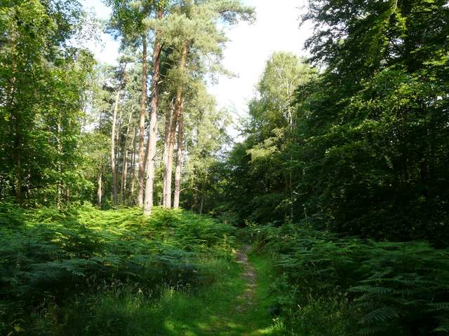
[4] The path downhill through Ashley hill Forest
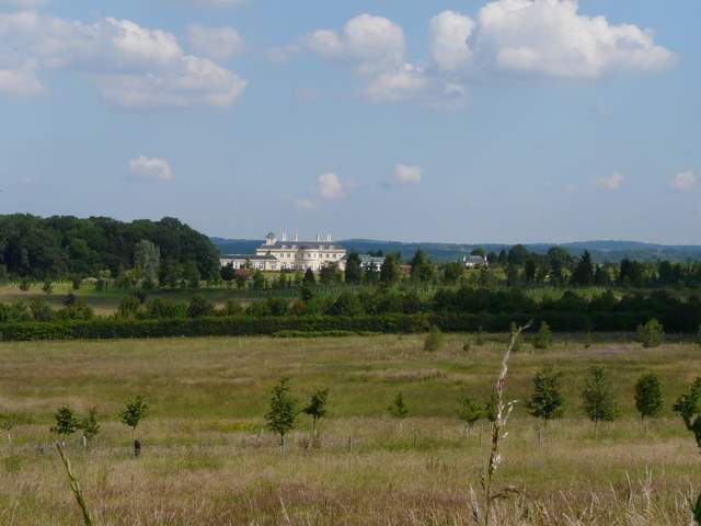
[5] View towards a modern mansion on the former site of the Grassland Research Institute, from the sunken lane
[6] Path along the edge of the wood called Channers on the OS map
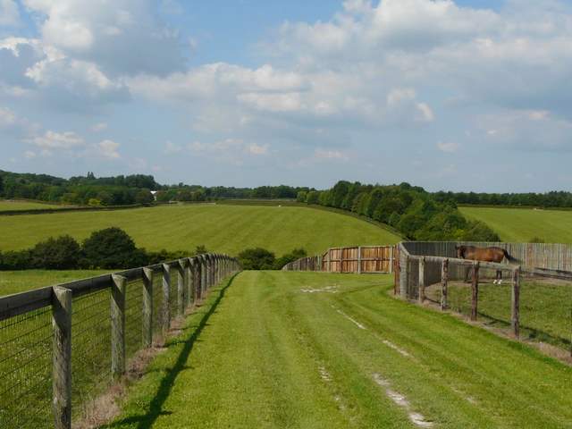
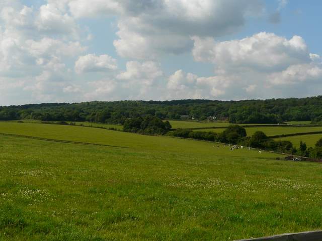
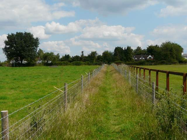
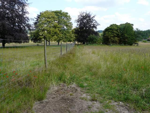
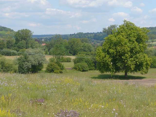
The path was soon running along the eastern edge of a wood called Channers, and I occasionally had views north across the fields to a modern mansion recently built on the former site of The Grassland Research Institute [5,6].At the northeast corner of the wood I turned left along a concrete farm track. There were now very large paddocks behind wooden fences on my right [7], one of which contained both horses and cows. The track turned left at the next corner of the wood, but I followed a path straight on, following a broad grassy track between the wooden fences of the the large paddocks [8]. To my left I could see towards Warren Row [9], the first village I'd come to, with another extensive wood beyond. On my way back, I would see a Roe Deer in the paddock on the right, only the third one I've seen on my walks.
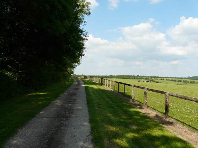
[7] Driveway north of Channers
[8] The path continuing downhill from a corner of Channers
[9] Looking left towards Warren Row (the route continues on the far side of the hedgerow in the valley bottom)
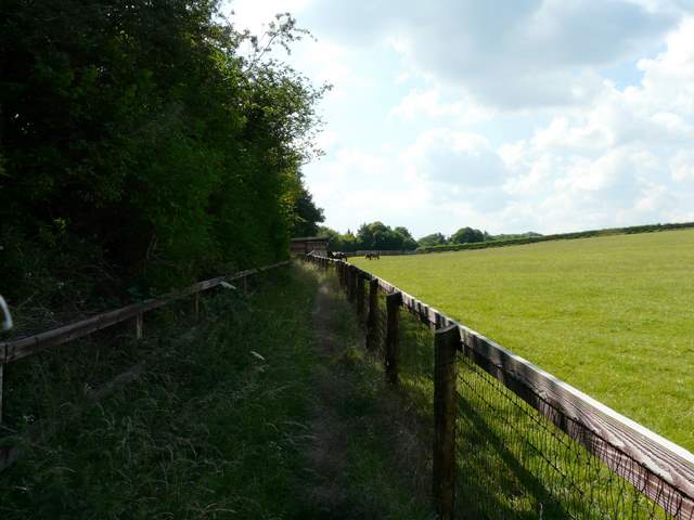
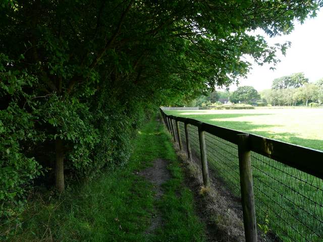
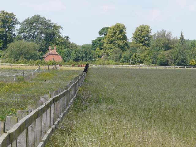
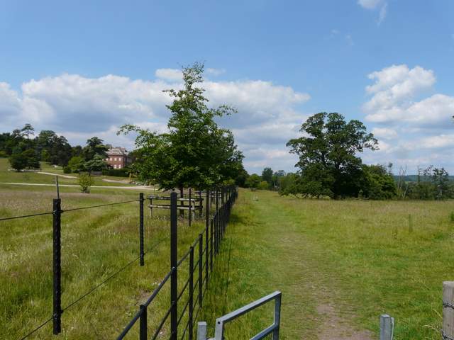
At the bottom of a valley I went through a hedgerow and turned right on a bridleway for a few yards. I then went left through the opposite hedgerow, and then immediately turned left again, thus almost doubling back on myself. This path ran between the hedgerow and the wooden fences of more paddocks on my right [10]. There were a couple of large wooden shelters for the horses (or cattle, as one 'paddock' had a few cows in it), and as the path emerged from behind one of the shelters I startled a foal - I'm not sure which of us jumped highest! At a kissing gate on my left, I turned right through a small area of trees, soon rejoining the path along the edge of the paddocks [11] and following it until I reached Warren Row.
[10] The path to Warren Row
[11] Approaching Warren Row
[12] The start of the path from Warren Row, through Cayton Park
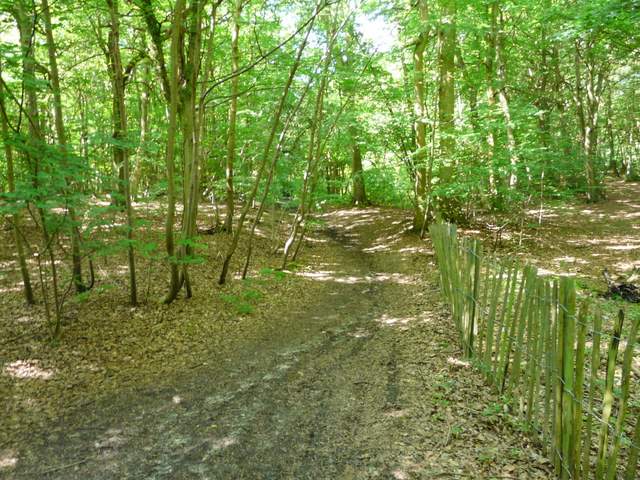
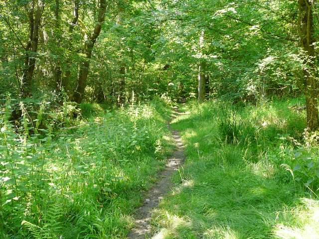
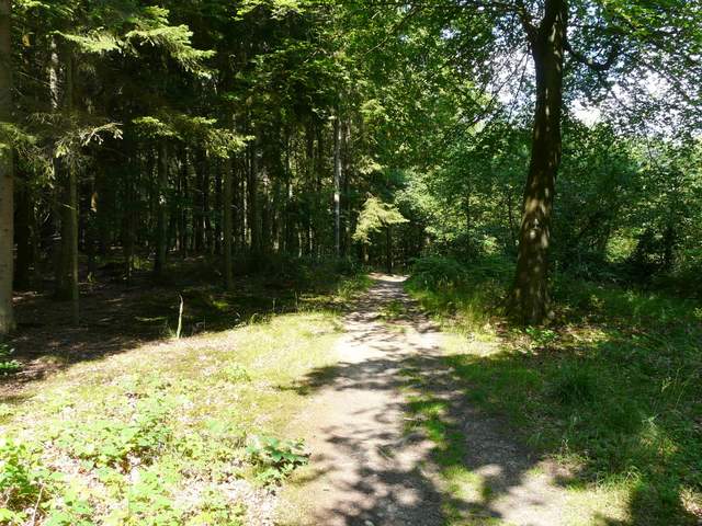
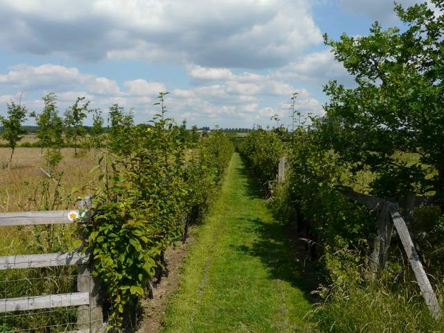
I went a few yards right along the road through Warren Row, then crossed over and went down a track on the other side. This soon passed some old garages, and then entered a large wood (marked Cayton Park on my OS map) [12]. The path through the trees rose gently and then descended slightly to cross a brick bridge over a water course, before rising again up Bowsey Hill [13]. After several hundred yards of pleasant woodland walking, I reached Hatchgate Lane. I crossed over and took a drive or track on the other side, which descended gently with occasional views southwest towards Reading. On reaching a crossing path I turned right to reach High Knowl Wood [14], where the path turned left (westwards). After a short distance I reached a path crossroads where I turned right. There was now another third of a mile of pleasant woodland walking [15] (where I saw another Silver-washed Fritillary) until I reached Rose Lane.
[13] The path through Cayton Park
[14] Path to High Knowl Wood
[15] Path through High Knowl Wood
I turned right along the lane [16], following it for about a quarter of a mile (I spotted a Red Admiral butterfly here). I then took a footpath on the left, which ran between fences and hedges to reach the village of Crazies Hill [17]. I crossed the lane here and took a path on the other side, which was soon running through the grounds of Summerfield House - these were largely left as colourful wildflower meadows, with the path running between young hedgerows [18].
[16] Rose Lane
[17] Crazies Hill
[18] The path from Summerfield House
I went through a very old metal kissing-gate [19] and continued on a now much-wider path between hedges [20]. At the end of the taller hedge on my left, a path forked right between fences [21] to reach a road junction at Cockpole Green.
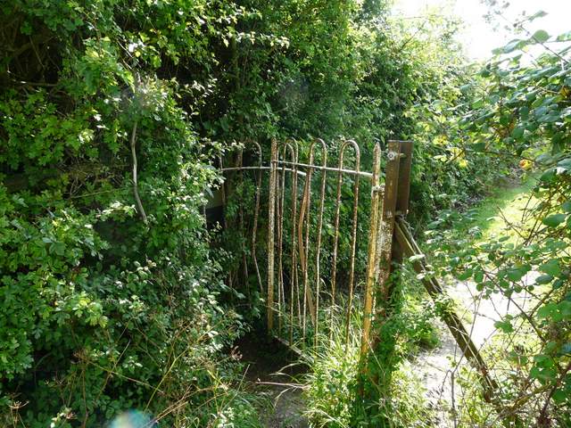
[19] Very old kissing-gate
[20] The path from Crazies Hill
[21] Approaching Cockpole Green
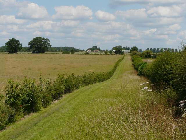
I followed Culham Lane left for a couple of hundred yards or so, then took a footpath forking left (westwards). This followed a wooden fence on my left, through a sequence of paddocks or meadows full of long grass and wildflowers [22]. Numerous butterflies flew up as I made my way through the long grass here - there was no real path but I could tell someone had walked here before me. There were views to the left towards Reading in the distance [23]. A mixed flock of Rooks and Jackdaws were perched on the fence, and gradually took off as I approached. Near a large house the path followed a hedge half-right past a cricket ground (I spotted a Comma butterfly here) to reach another lane.
[22] The path from Cockpole Green (the black mark on the fence line is a row of Rooks and Jackdaws
[23] View left towards Reading
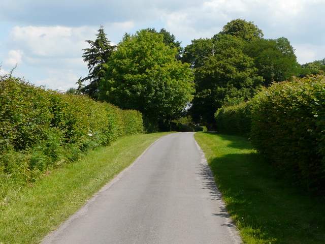
[24] Culham Lane, near The Well House
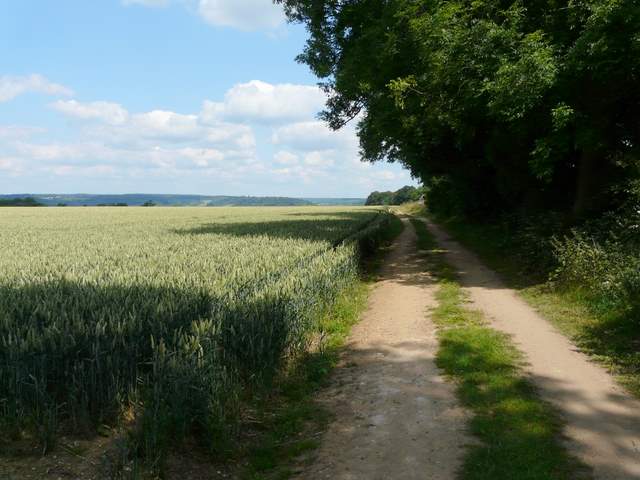
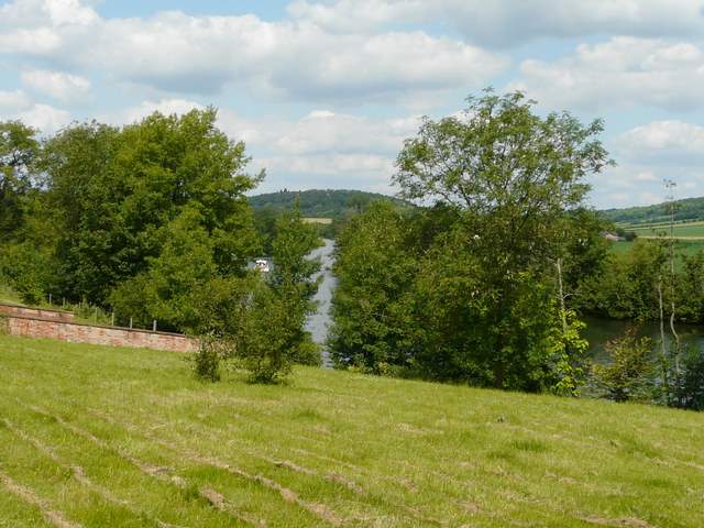
I turned right along the lane, and after about a quarter of a mile I reached Culham Lane again, where I turned left [24]. After another quarter of a mile, shortly after passing The Well House, the lane bent left but a footpath continued ahead, soon following a line of telegraph poles through a corn field [25] (I saw a Small Tortoiseshell here on my way back). Across a freshly-creosoted stile (yuck!) I reached a main road, the A4130 heading west towards Henley. I followed it left for a few hundred yards to reach the edge of Remenham Hill (opposite the end of Culham Lane). Here I turned right, following a farm track between a large corn field and a hedgerow on my right [26,27]. Ahead of me now was the Thames Valley, and I could see across it towards Fawley and Hambleden (it brought back memories of my "Hambleden, Stonor, Frieth" walk).
[25] The path from Culham Lane to the A4130
[26] The path from Remenham Hill
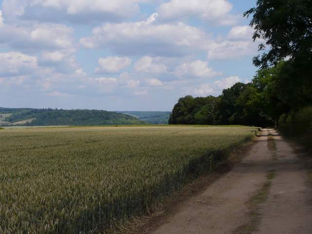
[27] Looking over the Thames Valley to the Buckinghamshire Chilterns, from the path from Remenham Hill
Just before reaching the start of a wood, I took a path on the right which descended steeply through part of the deer park of Culham Court [28]. I was actually heading eastwards here, the opposite to the general direction of this walk, and I had pleasant views ahead of me along the Thames valley around Medmenham. At the foot of the slope I turned left along the drive to Culham Court, soon leaving it to continue alongside the deer fence around the park [29]. Through a large metal gate I briefly joined the route of the Thames Path, which I followed left through the attractive grounds of Culham Court [30], with the river Thames a short distance to my right.
[28] The path descending through the Deer Park at Culham Court
[29] The path along the Deer Fence by Culham Court
[30] The Thames Path going past Culham Court
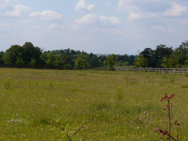
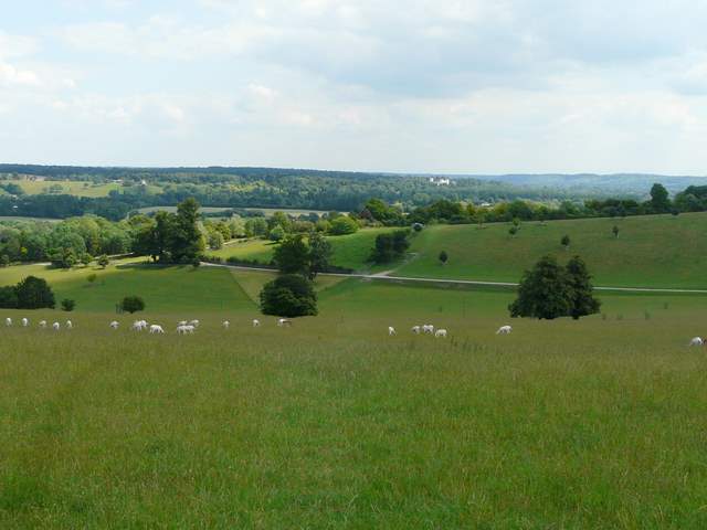
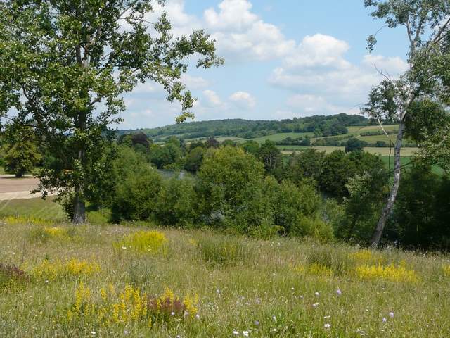
This section was a particularly pleasant part of the walk, as the grounds here consisted of wildflower meadows [31,32,33]. They were a very colourful sight, with flowers such as Musk Mallow, Meadow Cranesbill, Dark Mullein, Lady's Bedstraw and Sainfoin. There were nice views too, along and across the river on my right. Beyond the meadows I passed an old farm and reached a lane in the village of Aston. I went a short distance left, until I reached the start of a path on my right. This was my turnaround point for the day, and it had taken me two hours and fifty minutes to get there.
[31] The Thames at Culham Court
[32] The Thames at Culham Court (the river is in the trees somewhere!)
[33] Looking towards Hambleden from near Culham Court
The walk back to Burchett's Green was very pleasant but uneventful (other than spotting the Roe Deer). It clouded over for a while, but remained pleasantly warm with a nice breeze. It took me just two and a half hours to get back, as I didn't need to navigate nor take many photos.
This was another very good walk, and I have been consistently pleased with the Berkshire Loop so far. It is certainly living up to the high quality of the rest of the Chiltern Way!