Pete's Walks - Berkshire Loop
If you are considering walking this route yourself, please see my disclaimer. You may also like to see these notes about the maps and GPX files.
Day 4 2/07/11 Aston to Harpsden Bottom (7.1 miles each way, approximately)
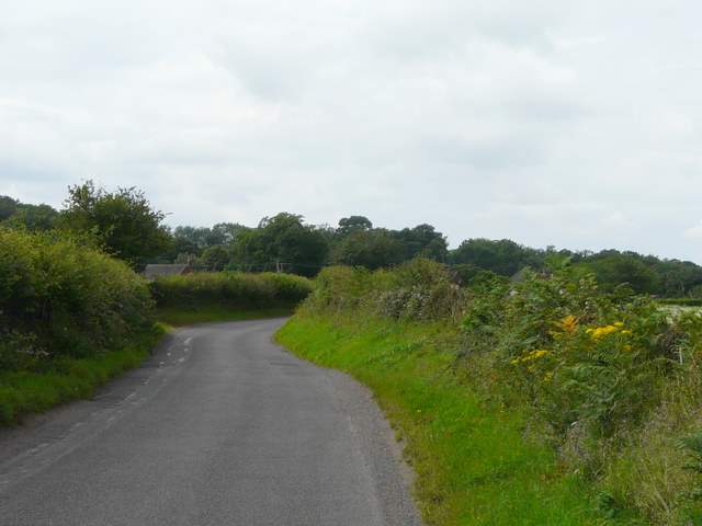
Parked in Remenham Church Lane.
It took me about an hour to drive to the start of the walk. I didn't think there'd be anywhere to park at Aston where I finished the last section of the walk, so I parked in Remenham Church Lane and walked down it for about a third of a mile to reach the point where the Berkshire Loop branches off it westwards (I discovered I could have parked much closer). I then continued down the lane for about a quarter of a mile, before turning right and continued walking the Berkshire Loop 'backwards' for over half a mile to reach the lane in Aston where I finished last time.
It was now
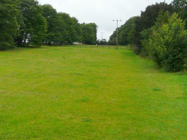
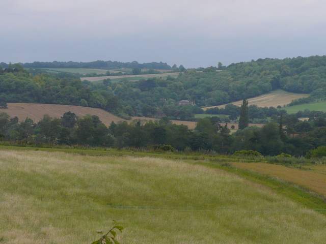
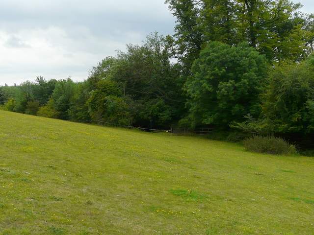
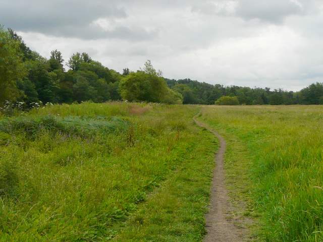
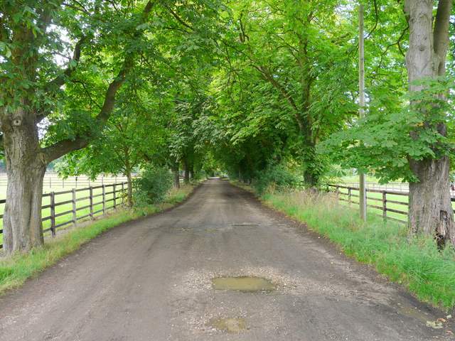
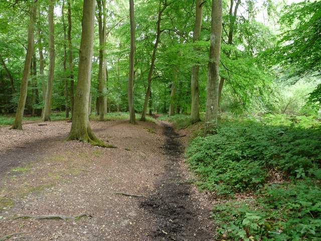
[1] The meadow at the start of the walk from Aston
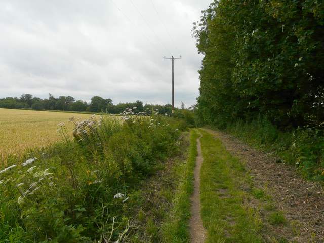
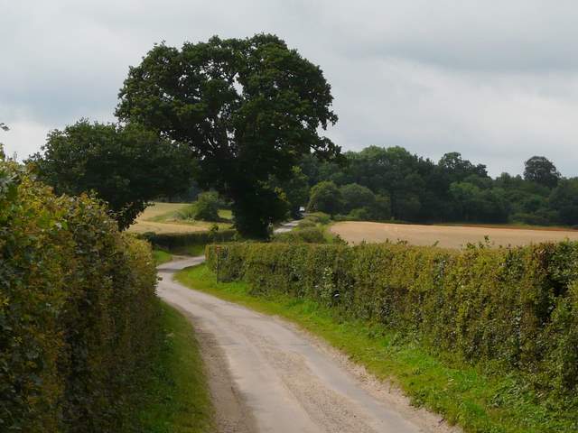
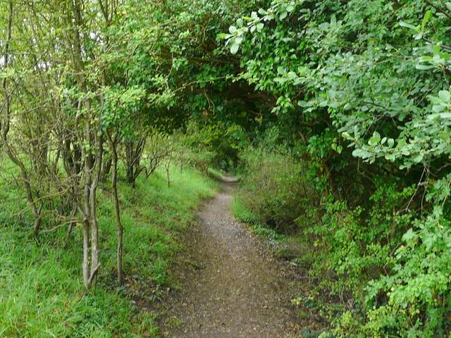
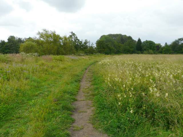
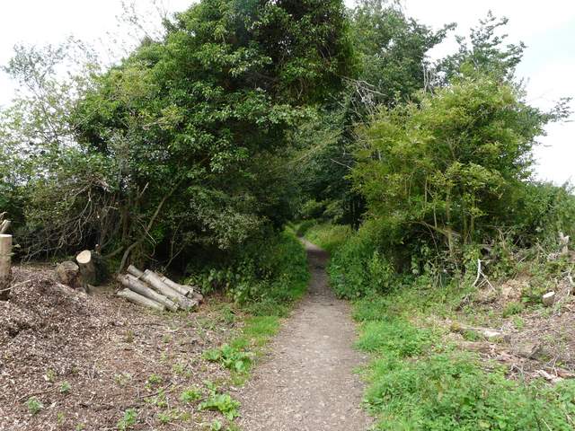
[2] The track from Aston to Remenham Church Lane
[3] The track from Aston to Remenham Church Lane
Initially there were trees and then a hedgerow [3] on my right, but then the views opened out [4] and I could see across the fields on my right to a line of trees marking the course of the Thames, with the Chiltern Hills around Fawley and Hambleden beyond [5]. Unfortunately it was grey and overcast (the forecast was for sunny intervals with scattered showers), so the views weren't at their best. But it was a pleasant and easy stretch along this farm track, and I could see the wood ahead near where I'd join Remenham Church Lane.
[4] The track from Aston to Remenham Church Lane (which is just this side of the wood on the right)
[5] Close-up shot looking left across the Thames towards Hambleden
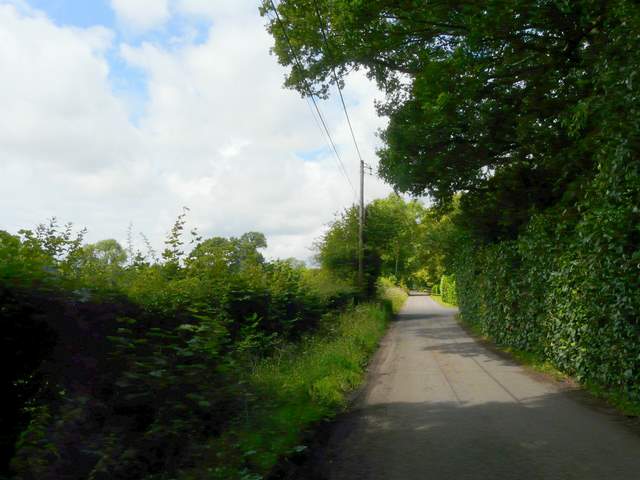
[6] Remenham Church Lane
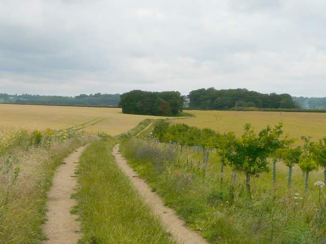
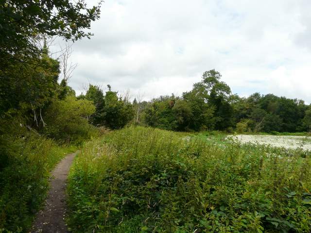
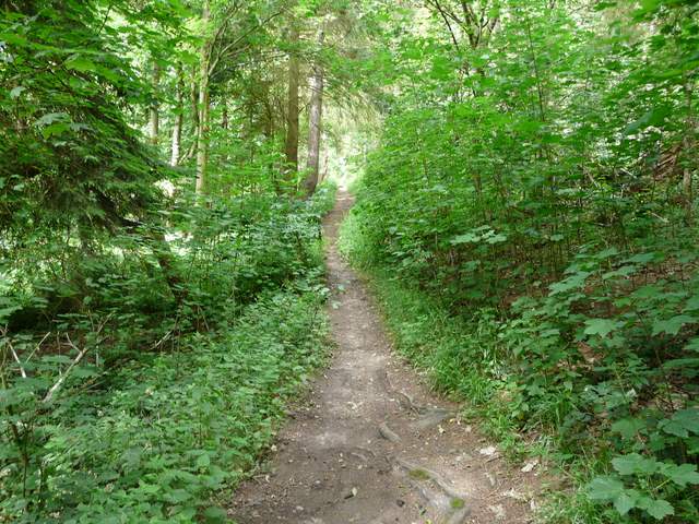
On reaching the lane I turned left [6], still retracing my earlier steps until I reached a large oak tree where a footpath branched half-right. The clear path crossed a large corn field [7], and as I followed it I could already hear announcements being made over a loudspeaker - I'd unwittingly chosen the week of the Henley Festival to do this stretch of the Berkshire Loop. The path next ran through Remenham Wood for a few hundred yards [8], and then cut across part of a meadow [9].
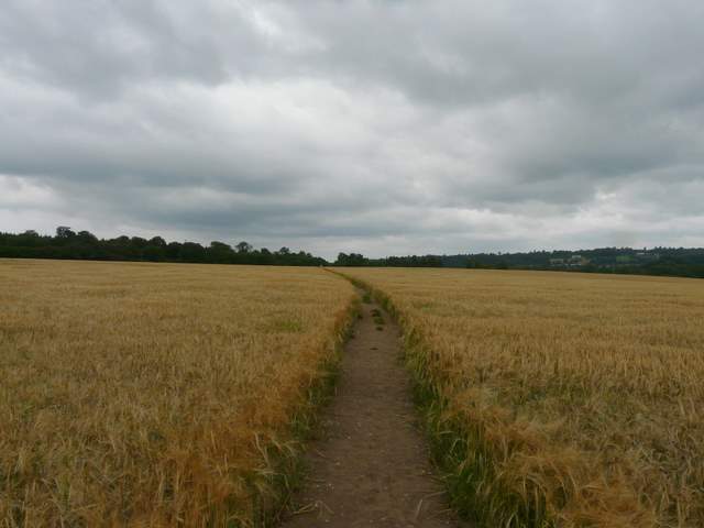
[7] Path from Remenham Church Lane to Remenham Wood
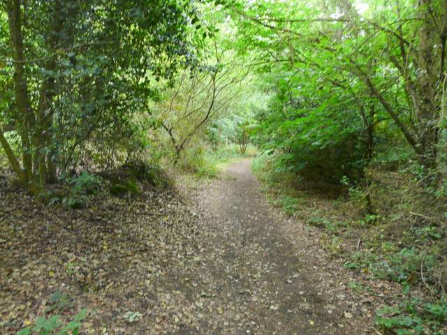
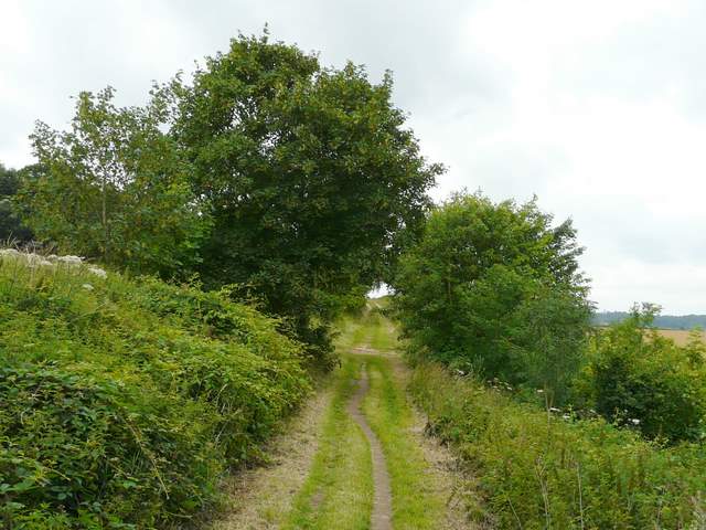
[8] The path continuing through Remenham Wood
[9] The meadow beyond Remenham Wood
On the far side of the meadow, the Berkshire Loop joined a path running through scrub at the edge of the meadow [10]. After a short distance, I took a path forking half-right across what were clearly once the lawns of a grand house (Motson House, according to the guide book - I wondered if the football commentator lived there :)), but which were now apparently used as a golf practice range. The path then ran close to the left edge of a grassy field being used as a car park for festival visitors. I then turned left into Remenham Lane, which soon reached the A4130 main road, where I turned right to cross Henley bridge [11, 12], thus leaving Berkshire and entering Oxfordshire.
[10] The path beside the meadow
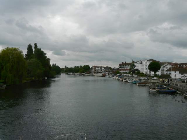
[11] The Thames, looking south from Henley Bridge
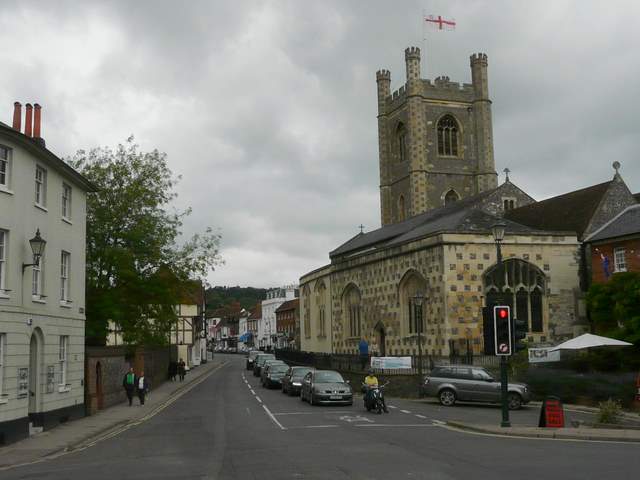
[12] Henley, from the west end of the bridge
On the far side of the bridge, I turned left to follow the path along the edge of the Thames. This wasn't my favourite section of the walk, the hard-surfaced path of course being busy with people walking dogs or just sauntering along or feeding ducks in the river (I noticed some Egyptian Geese here on my way back). There were numerous pleasure boats and a few narrowboats moored along the river's edge [13], and I passed a couple of small islands in the river [14]. The path was soon running beside a park on my right, but the crowds continued.
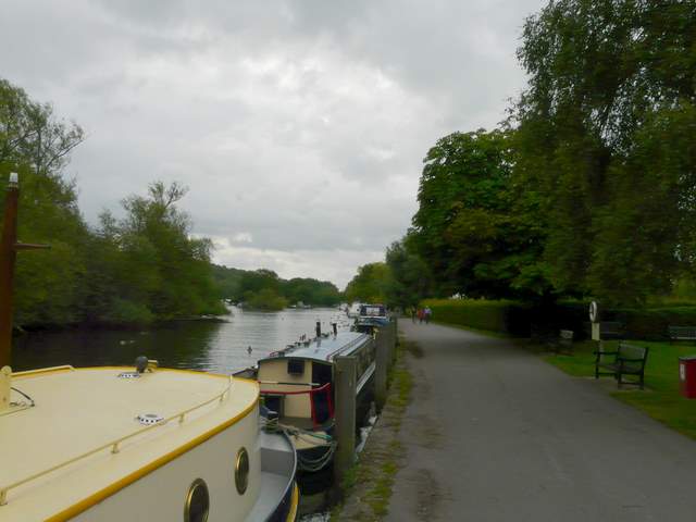
[13] The path alongside the Thames
[14] The path alongside the Thames
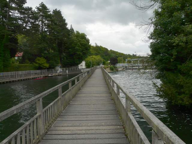
[15] The long footbridge to Marsh Lock
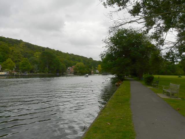
After about two thirds of a mile, the path crossed a long footbridge to reach Marsh Lock [15], where I was briefly back in Berkshire before another long footbridge took me back to the Oxfordshire bank of the river [16]. At last I left the crowds behind (perhaps looking at my photos I'm exaggerating the crowds!) as the riverside path now continued through an attractive water meadow [17,18]. There was much Meadowsweet growing here, and I also spotted Marsh Woundwort, Great Willowherb and Himalayan Balsam. Just as I reached the end of this large water meadow there was a sudden and quite heavy shower, so I had to stop and put on my waterproof jacket - of course, the shower stopped almost as soon as I had put it on!
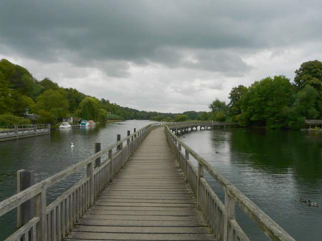
[16] The footbridge from Marsh Lock back to the Oxfordshire bank of the river
[17] The path through the water meadows beside the Thames
[18] The path through the water meadows beside the Thames
The path then turned right, leaving the river bank and was soon running between fences - the large garden on the left had its own miniature railway [19]. I then joined a wide drive between other large residences (this was near Bolney Court, according to the OS map), and then forked right on to another wide gravel track [20]. This soon crossed over a railway bridge, and then continued along an avenue of horse chestnuts [21]. To my right there were now the flat green lawns of a polo ground.
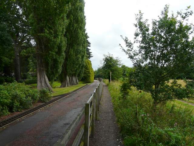
[19] Path near Bolney Court
[20] Start of the track from near Bolney Court
[21] Part of the avenue of Horse Chestnuts, just before the A4155
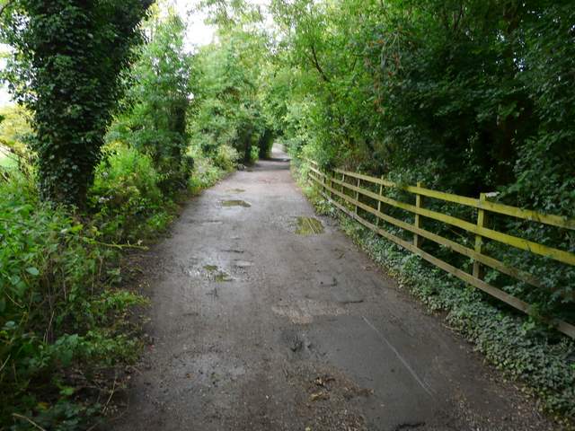
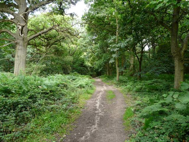
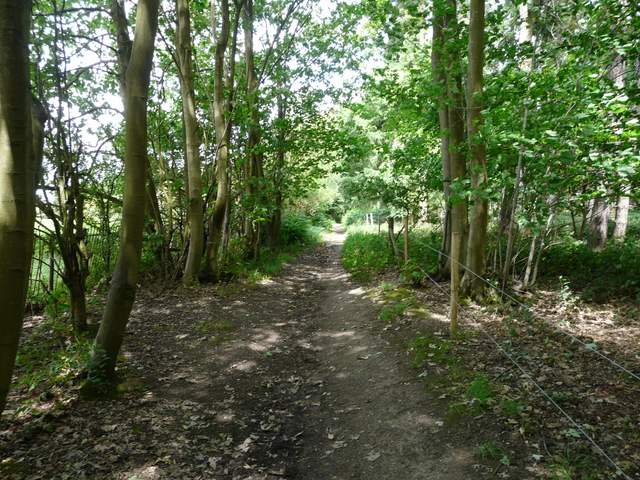
I crossed over the A4155 main road, and continued along a similar gravel drive. This ran between tall hedges which largely restricted the views, and very gradually went uphill. After about half a mile I crossed a minor road, Woodlands Road, and continued along a tarmac drive [22]. Again there were hedges most of the way, which rather limited the views, but at least the skies were a bit clearer now and it was quite sunny. After another half mile I passed Upper Bolney House, and a little further on forked left on a bridleway into High Wood. Almost immediately I kept right at another fork and continued pleasantly through the wood [23,24], where I spotted a Silver-washed Fritillary (that's three weekends in a row that I've seen one now, whereas before that I'd only ever seen one once!).
[22] Near the start of the drive west of Woodlands Road
[23] The path through High Wood
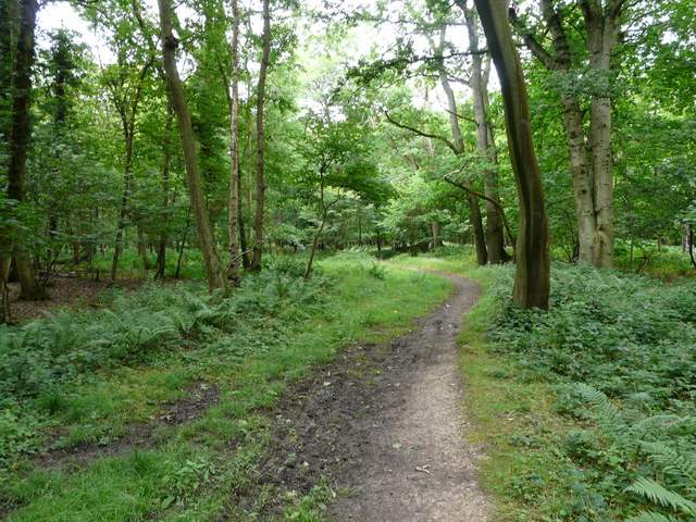
[24] The path through High Wood
On the far side of High Wood, I turned left along a lane [25]. I spotted lots of lovely Common Toadflax along here, amongst other wildflowers. In about a third of a mile I reached a road junction at Binfield Heath, where I turned right through the gravel car park of the Bottle And Glass pub to join a path called Bones Lane [26,27], which soon led to the equally ominously named Bones Wood.
[25] The lane between High Wood and The Bottle and Glass pub, Binfield Heath
[26] The path from the Bottle and Glass ('Bones Lane')
[27] Bones Lane, continuing towards Bones Wood
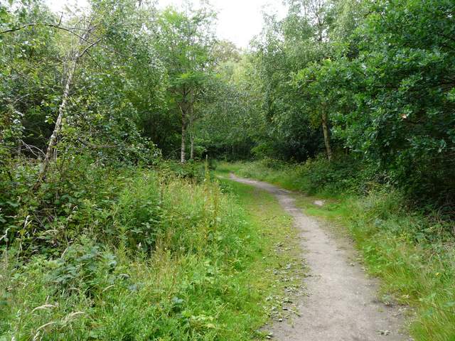
On entering Bones Wood, I turned left [28] and soon joined a slightly-sunken path heading gently downhill through the trees [29]. The path continued across the flat valley bottom [30], then continued up the other side of the valley.
[28] The path in Bones Wood
[29] The path in Bones Wood
[30] The path continuing
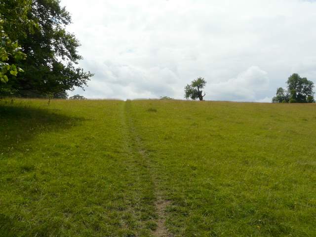
I'm not sure from the map whether I was now in Redhill Wood or Gillsmithers Wood, but anyway I soon had the grassy and wildflower rich parkland of Crowsley Park on my left [31]. Across a gravel drive by a lodge, I was definitely in Gillsmithers Wood, where I spotted another Silver-washed Fritillary. On reaching the northwest corner of the wood, I took a path on the left along the hedge bank beside a lane for just a couple of yards to reach the end of the Berkshire Loop by a kissing-gate in Harpsden Bottom, where the southern extension of the Chiltern Way heads into the park of Crowsley Park [32,33].
[31] The path continuing beside Crowsley Park
[32] The southern extension of the Chiltern Way heading south into Crowsley Park
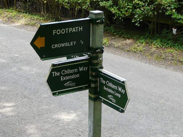
[33] Fingerpost at the end of the Berkshire Loop in Harpsden Bottom
It was about 12.30pm as I turned round and headed back. The afternoon was quite bright and sunny, and it was a pleasant walk back. The riverside path in Henley was much busier this time (perhaps that's why I remember it as crowded), and there was the sound of rock bands performing sound checks somewhere amongst the marquees set up for the Henley festival (I enjoyed a distant rendition of Abba's 'Waterloo!'). Of course I only had to go back as far as Remenham Church Lane as I'd done the first part of the walk both ways this morning. Allowing for a ten-minute lunch stop, and discounting the extra walking along Remenham Church Lane to where I parked, the walk took 4 hours and 35 minutes, which seemed surprisingly quick by my standards recently (I thought this was probably due to the fact that I took relatively few photos, but having just checked I actually took a similar number as on the last walk).
This was the least enjoyable of the walks I've done on the Berkshire Loop, but I can't blame the people who planned the route. There is clearly no alternative to crossing the Thames at Henley, and so the walk alongside the riverside path there was unavoidable (I always feel a little self-conscious in my walking gear when I'm in towns, other people might really enjoy this section - certainly, the river, islands and wooded southern bank are quite attractive, and some people may even see this as a highlight of the route). The walk through the water meadow was then nice, but the stretch along the surfaced tracks or drives from the river to Upper Bolney house was rather bland, I felt. But again, looking on the maps there is no feasible alternative. Certainly the rest of the route, from Aston to Henley and then from High Wood onwards were fine - and if it had been a sunnier morning, I might have enjoyed the start of the route even more.