Pete's Walks - Berkshire-Essex Walk
If you are considering walking this route yourself, please see my disclaimer. You may also like to see these notes about the maps and GPX files.
Day 13 29/07/06 Therfield Heath to Chrishall (7.0 miles each way, approximately)
Parked at Therfield Heath.
Originally I’d planned on walking yesterday, the day after my last walk, but when I got up I still felt drained after walking in the heat, so walked today instead. In any case, the weather forecast was better for today, with the temperature down a couple of degrees at about 25C and no threat of thunderstorms.
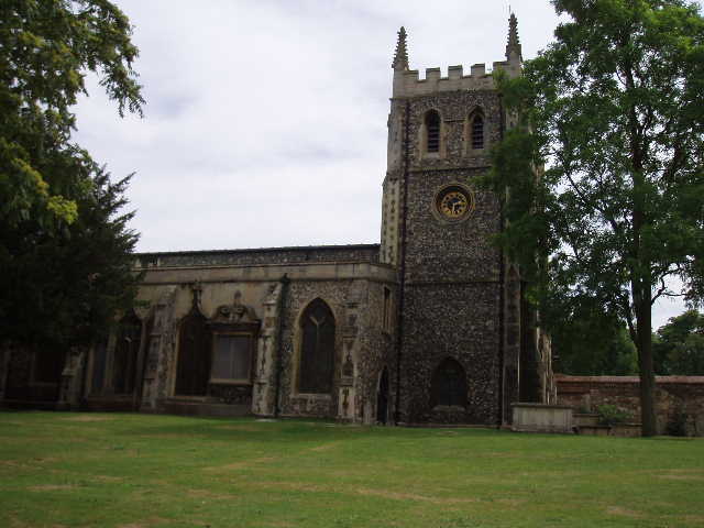
[1] Priory church, Royston
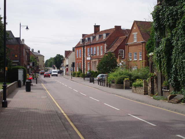
[2] Looking back to the centre of Royston
I set off from Therfield Heath at about 9.55am, following the main road in an easterly direction, into the centre of Royston. I passed the Royse Stone, where I had started and finished my Hertfordshire Way walk, and the Priory Church [1,2]. I crossed the A10 main road, and continued in the same direction along Newmarket Road, which was quite well shaded by trees. I carried on along this road for about three quarters of a mile, beyond the end of the houses, to where the pavement ended by a marker that indicated the line of the Greenwich Meridian [3]. I was pleased to note that it only took me 25 minutes to get through Royston.
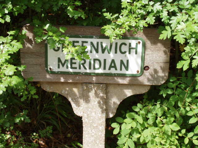
[3] Greenwich Meridian sign outside Royston
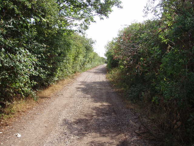
[4] The long track between Royston and Heydonh
Here I picked up a permissive path that avoided the need for a dangerous and unpleasant walk alongside the busy A505. The path went parallel to the road, still heading eastwards, at first through a small wood and then beside a left-hand hedge through three corn fields. It ended on a gravel track, near a large lay-by on a bend of the main road. I turned right along the track, which I would be following for about the next two and a half miles, all the while in a more or less straight line heading just north of east [4]. After a few hundred yards, I passed a couple of cottages and a farm on my left. Beyond the farm, the gravel track ended, and the path became a green lane, with two dry ruts of mud with grass between them and hedges either side. There were numerous butterflies flying up from my feet as I walked along [5], including more Painted Ladies and some Peacocks – these are plentiful in the garden, but I’ve not seen many on my walks. I saw and photographed a Brimstone butterfly here on my way back. There were wildflowers too, including Scabious, Bindweed, and both Greater Knapweed and Black Knapweed. Somewhere along here I finally left Hertfordshire and entered Cambridgeshire.
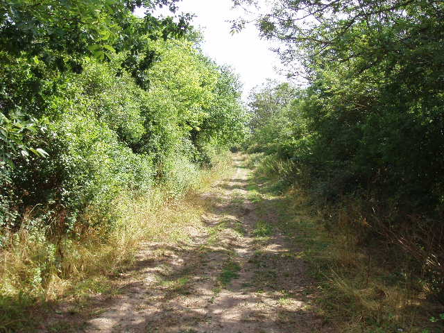
[5] The long track between Royston and Heydon
[6] Path leading uphill to Heydon
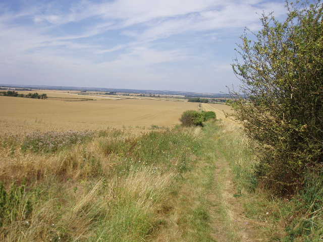
The track crossed a road and then a lane. There were no longer hedges on both sides, generally just a hedge on one side and occasionally no hedges at all. This was very easy walking, on a good track over flat ground with no worries about navigation. On either side of the track were large corn fields, some already harvested and one or two already ploughed up. To my right, about a mile away, the ground rose up as a small hill, the continuation of the chalk ridge I have been following throughout this journey. Now though, the hills were smaller and less steep, so that they were cultivated rather than bare grasslands. More butterflies flew up as I marched along, and now I noticed several Common Blue butterflies. Along the centre of the track, I noticed a lot of Rest-harrow growing. I also saw a rather ugly plant called Broomrape, a parasite that has no greenery at all and gets its nourishment from the roots of other plants. After a while, the track reached a section where it again had hedges on both sides, and on my left there was a golf course.
By a large clump of trees on the left, I eventually turned off the track, taking a path on the right that headed towards the low line of hills. This path followed the line of Heydon Ditch, one of four long dykes (ancient bank and ditch earthworks) that cross the Icknield Way at right angles, although I couldn’t really see any evidence of it. The dykes are thought to mark territorial boundaries, the Devil’s Ditch further on possibly being the boundary of the Iceni tribe. The path followed an intermittent hedge, and had a profusion of both butterflies and wildflowers. In particular there was an abundance of Painted Lady butterflies here, as well as some more Common Blue. There was more Broomrape and Knapweed, as well as Lady’s Bedstraw, Yarrow, Agrimony and the ubiquitous Bindweed.
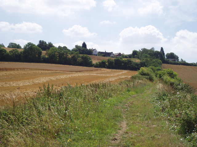
[7] Looking back over the flat lands of Cambridgeshire from the path up to Heydon
[8] Heydon church
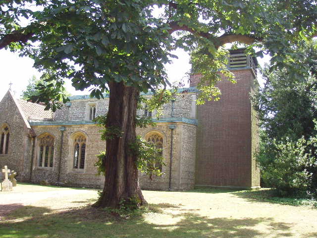
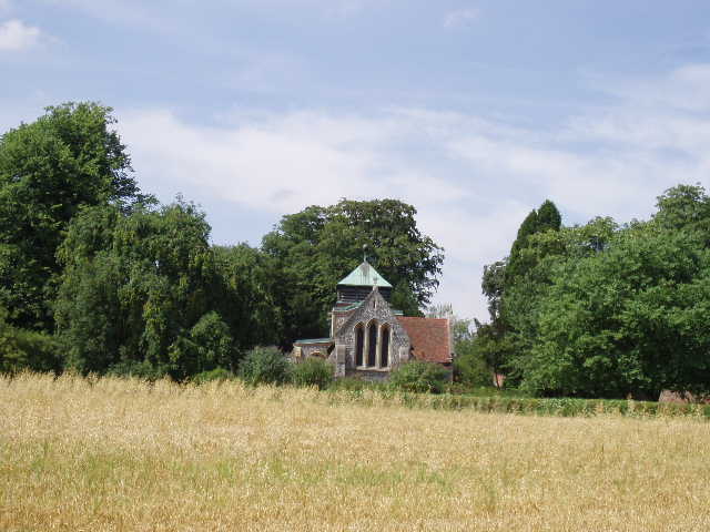
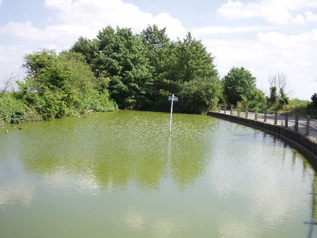
After three quarters of a mile or so, the path [6] started to climb the hillside ahead, and rose fairly steeply [7] between hedges to emerge on a road in the village of Heydon. I turned right and followed the road through the village to a junction, where I turned left by the church [8,9]. The church tower is quite conspicuous as its is made of brick, unlike the rest of the building – the tower had to be rebuilt after it suffered bomb damage during the war. A short way along this road, I reached the large village pond [10]. The Icknield Way took a good track opposite the pond, and after a few hundred yards turned left on a path across a corn field. On the far side of this field, it followed the hedge a few yards to the left before crossing a footbridge over a tiny stream – this was the border with Essex! I’d reached the county I’d been aiming for! I smiled when I thought of the last time I’d crossed into Essex, by road – next to the ‘Welcome to Essex’ sign there was a burnt-out car!
[9] Heydon church
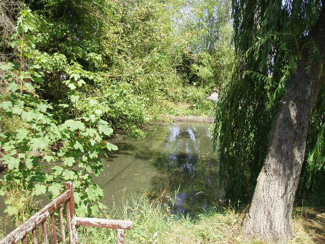
[10] Large pond in Heydon
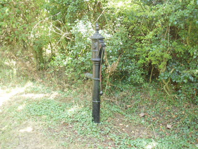
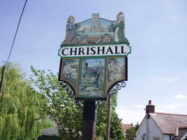
I continued on the fenced path, which ran alongside a paddock and came out onto a driveway to a few properties. At the end of the drive, I turned right along a lane for a few yards, passing an old black pump [11], then turned left on a path across a rather overgrown meadow. This took me to another lane, which I followed to the right to a road junction in the middle of Chrishall. This was the end of my walk. I took photos of the village sign [12] and the village pond [13], looked at the war memorial which had a recently laid wreath, and then turned and headed back the way I’d come.
[11] Old water pump in Chrishall
[12] The village sign in Chrishall, the end of my journey
[13] Pond in Chrishall
I sat and had my lunch on a bench at the road junction in Heydon. It was a pleasant walk back, although pretty warm. There was a breeze, but it hardly took the edge off the temperature. It was again a pleasure to walk through the butterflies and wildflowers along the long track heading back to Royston. Again it only took about 25 minutes to do the bit of town walking through Royston, and I was back at my car by about 2.50pm.
Total Distance: 97 miles each way