Pete's Walks - Chenies and Ley Hill (part 1)
If you are considering walking this route yourself, please see my disclaimer. You may also like to see these notes about the maps and GPX files.
Google map of the walkDownload GPX file of the walk
WARNING: I would strongly recommend only doing this walk in the summer months, as the path in the Chess valley at the end of this route can be affected by flooding. Even in summer it can be very wet.
This was a superb 11.5 mile walk, on a glorious autumn day (Monday, 12th November 2007). It was cold – I had to scrape ice off my windscreen before setting off – but I was warmly wrapped up and the clear blue skies made for some great views. I’d been looking forward to this walk, as it went through Chenies, Latimer and the Chess Valley, an area I’d really enjoyed on Day 1 of my Chiltern Heritage Trail walk last year.
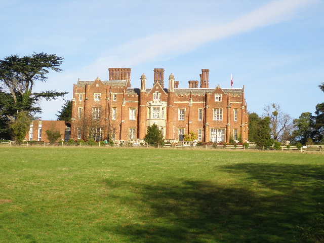
I parked at Chenies, and took a bridleway (starting by the village school) westwards. I soon got a sight of Chenies Manor across its attractive grounds on my right. The bridleway went right at a junction at a corner of the grounds, then turned left when it reached a yard and outbuildings. It continued westward, soon with good views across the Chess Valley towards Latimer.
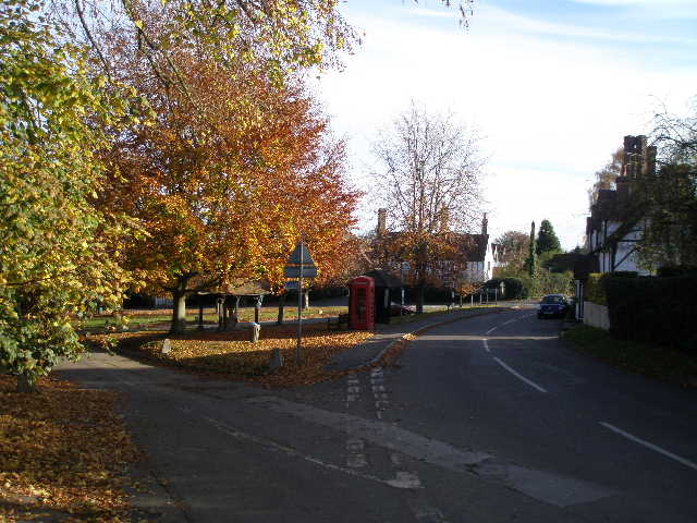
Chenies (looking back, the school is behind me)
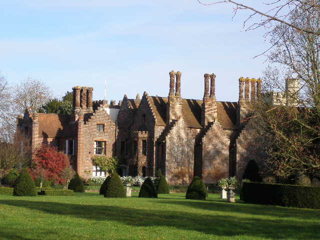
Chenies Manor
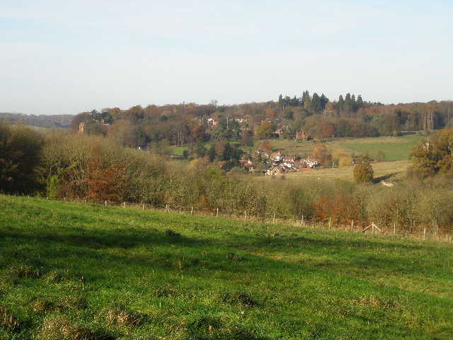
Looking across the Chess Valley towards Latimer
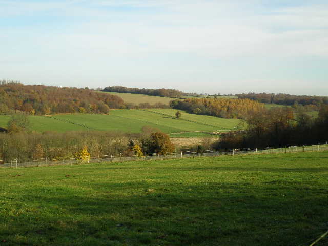
Looking back across the Chess Valley
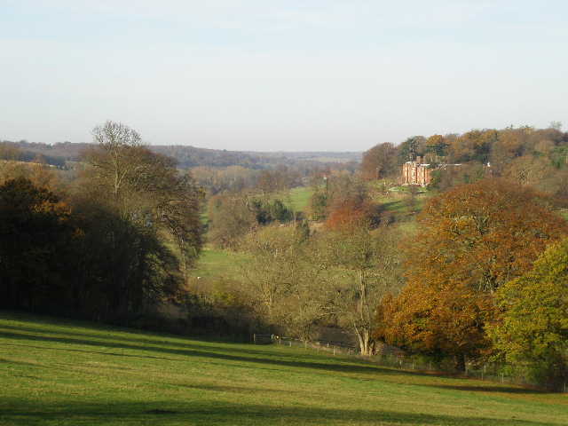
The Chess Valley and Latimer House
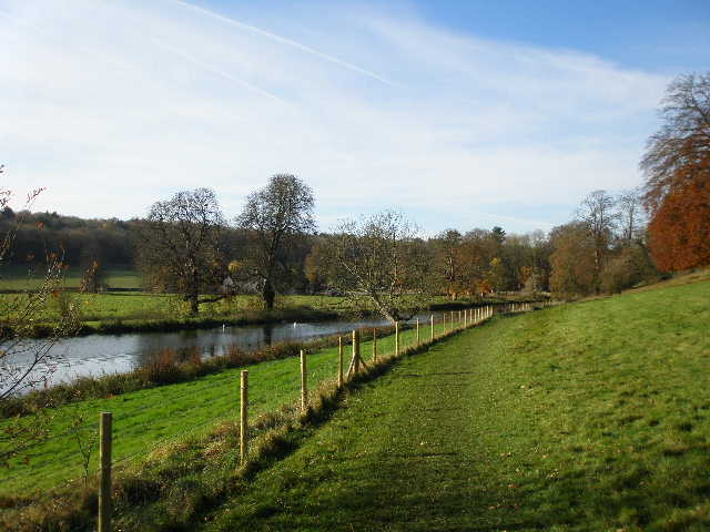
After crossing a lane the bridleway continued just inside the edge of a wood. At a path junction I took a footpath going right that descended through the wood. At the bottom of the slope, I went through a gate on the edge of the wood, and then walked across a meadow in the valley bottom. I crossed the road through the valley and went diagonally across another meadow, before crossing the river Chess with Latimer House on the hillside above me. Beyond the river was a series of fish ponds, one of which ended at a weir.
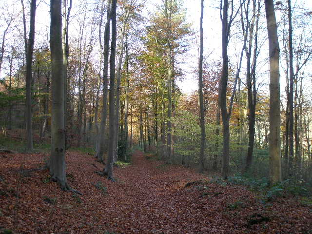
The path descending through the wood towards the Chess Valley
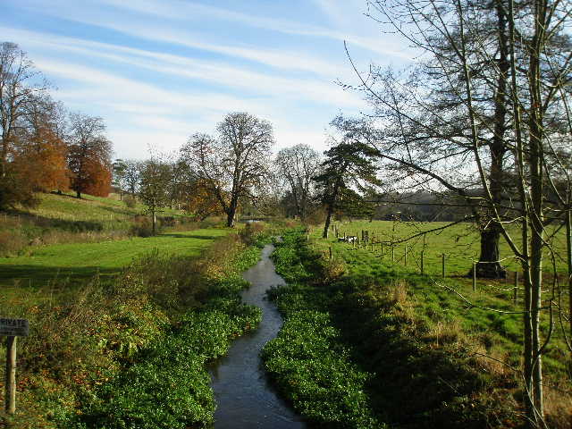
The river Chess from the bridge, looking east
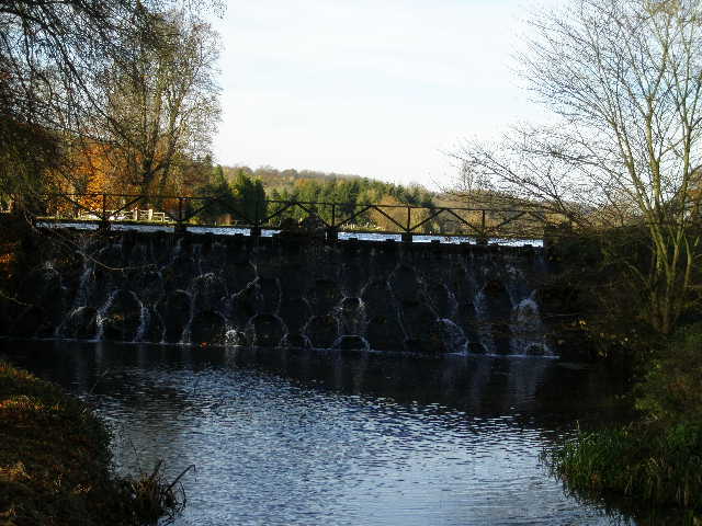
The weir between the fish ponds
Latimer House
I turned right on a path through another meadow, initially alongside the river before heading slightly left to reach the village of Latimer.
Looking back along the path from Latimer House
I turned left and took a few photos of the small village green with its water pump, Boer War memorial (I saw another on Coombe Hill on Friday) and grave of the heart of a horse on which a General was killed in the Boer war.
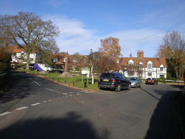
Latimer
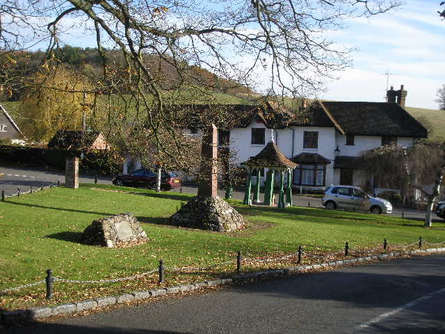
The green at Latimer
I kept to the left of the green and then took a path that started on the other side of the road. This passed between gardens, then went across a grass area near a house and rejoined the road out of the village. Turning right, I passed the church on my left, and admired the views over the woods and valleys to my right. Half a mile further on, I took a path on the left (I'd passed one previously) which went across a large field of winter wheat to reach Codmore Wood.
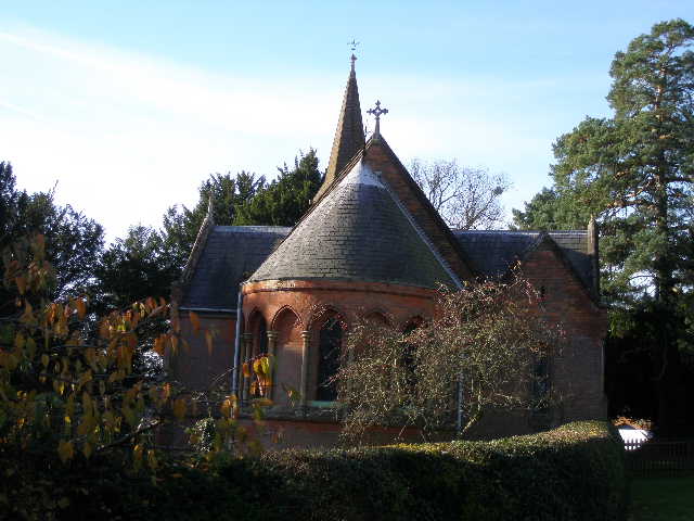
Latimer church
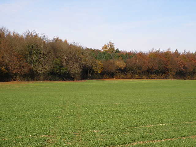
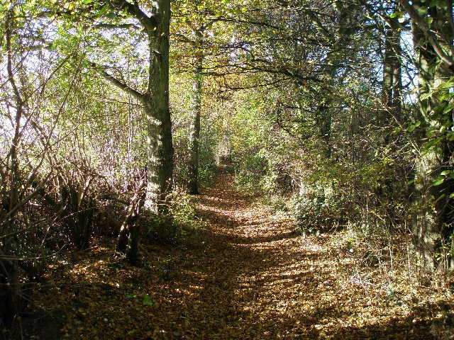
Approaching Codmore Wood
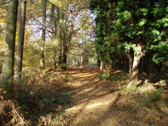
The path through Codmore Wood
I kept left at a fork, and on the other side of this attractive wood I crossed a meadow, a lane and then a sheep pasture to reach a second lane. A short distance to the left, I turned right onto a bridleway called Green Lane. After passing a yard, this became a pleasant part of the walk on a clear path between hedgerows, although these obviously restricted the views.
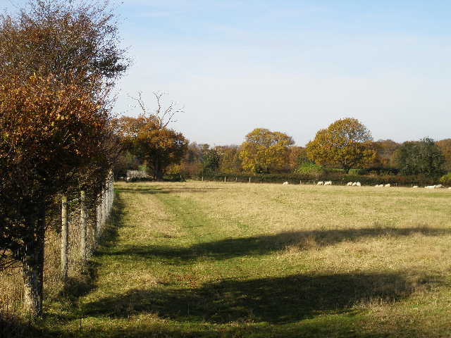
The sheep pasture
Green Lane