Pete's Walks - Chenies and Ley Hill (part 2)
Near the bottom of a slope, I eventually took a footpath that crossed a corner of a field, a short cut avoiding a bridleway junction where I could just have turned right. I now followed a bridleway called Bottom Lane right, and soon reached a part that I’d walked last Wednesday (see my Circular walk from Chesham). At the end of Bottom Lane, I crossed a road and continued along another bridleway, which had the intriguing name of Broomstick Lane.
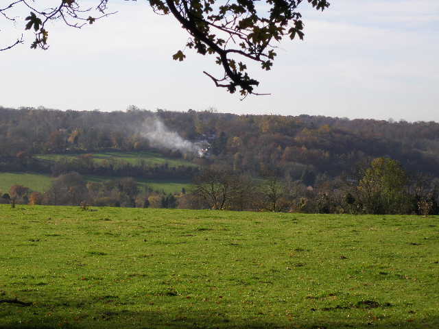
Looking across the Chess Valley towards Chesham Bois from Green Lane
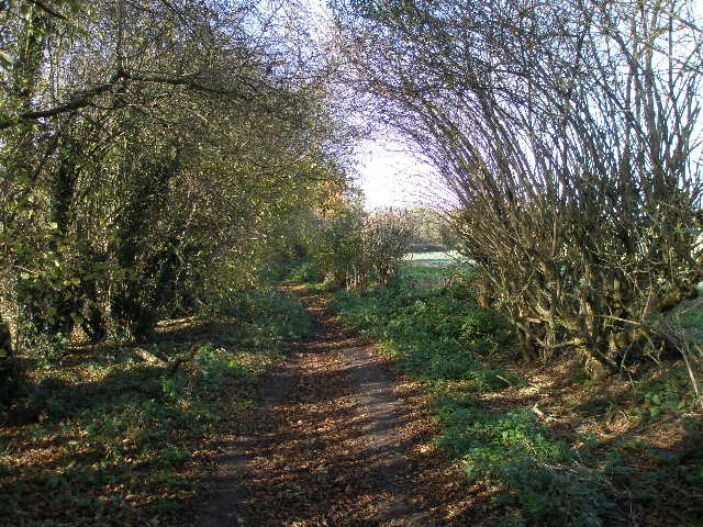
Bottom Lane
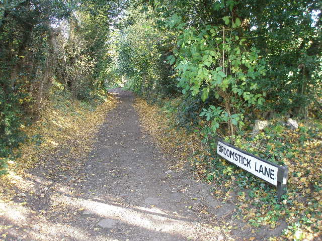
The start of Broomstick Lane
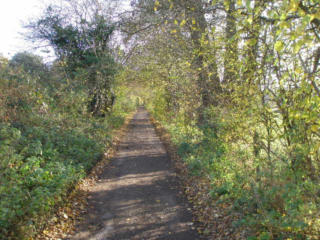
After a quarter of a mile or so I turned right, and followed a hedgerow to reach a wood – I’d been here before on the final day of the Chiltern Heritage Trail. I followed the path through the wood (another path almost immediately came in sharply from the right), which soon curved to the left by some hollows. I kept left at a waymarked path junction and then went right at the next waymarked junction. After a few hundred yards, this path turns a few yards to the left to exit the wood. The path crossed a pasture or paddock, then continued as an alley behind some properties to reach a road in Ley Hill.
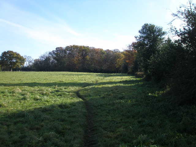
The path from Broomstick Lane towards the wood
I turned right, and at a funny junction where the road effectively splits into three, I followed the middle road (there was a sign indicating a path slightly left of the road, but I couldn’t see where it went across a cricket pitch and then a golf course). After maybe a third of a mile I turned left onto a bridleway near Flounden (sic) End farm. Again this was very pleasant, following fences and very gradually descending, with a nice view towards the valley of Flaunden Bottom ahead of me.
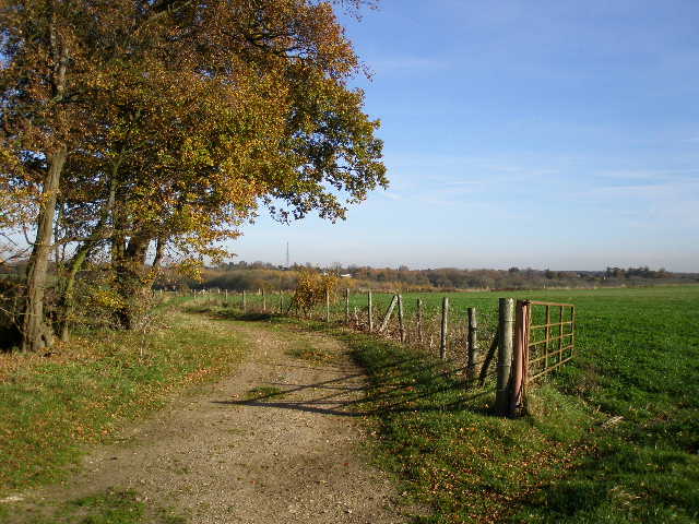
Start of the bridleway from Flounden End farm
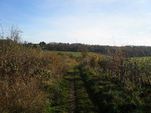
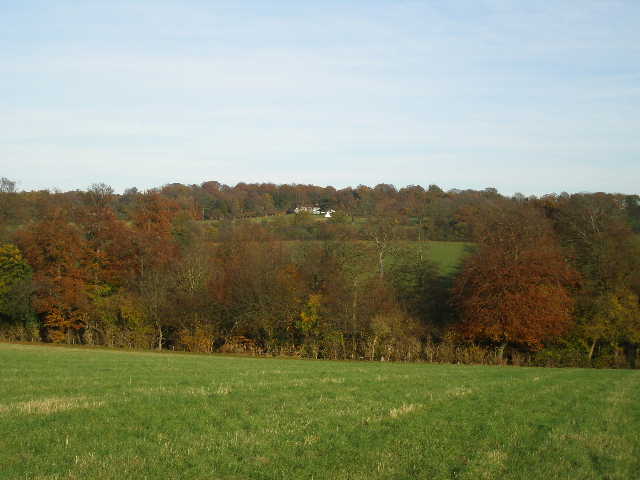
The bridleway heading towards the valley of Flaunden Bottom
I turned right along the road through Flaunden Bottom, then went left on a bridleway, steeply uphill between pastures then through another attractive wood, Long Wood. The path levelled out beyond the wood, and I soon turned right on a hedged track marked as an ‘other route with public access’ on the map. This led to a bridleway through Baldwin’s Wood – again it was pleasant walking through the wood with the fallen leaves rustling underfoot, and I saw a Muntjac deer here. On the far side of the wood, the bridleway turned left along the edge of the wood a short way, before turning right and descending back into the Chess valley.
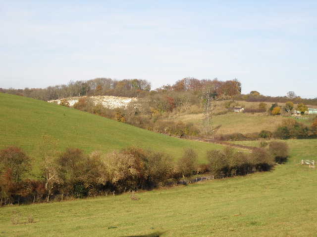
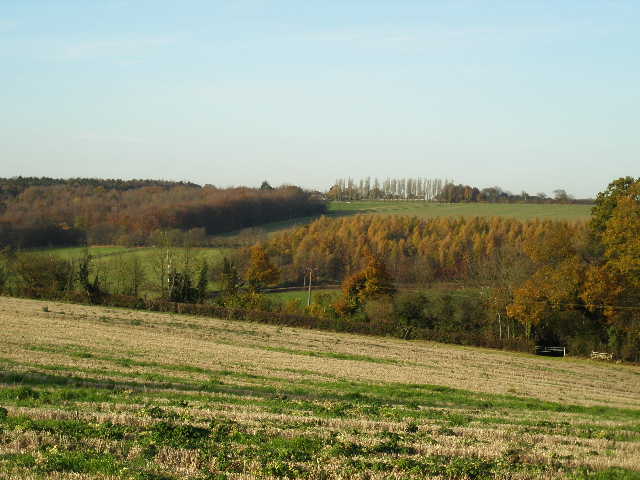
Looking back along Flaunden Bottom from the edge of Long Wood
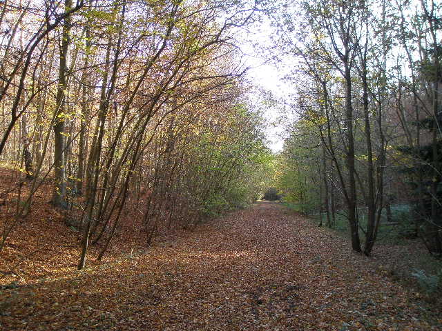
The bridleway through Baldwin's Wood
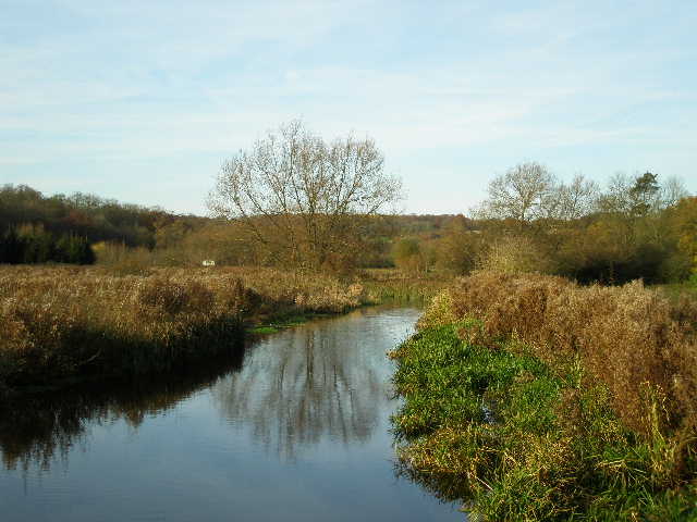
Where the bridleway met another one running through the valley, I stopped and ate my lunch sitting on a stile. Then I turned left and followed the bridleway through the valley to Mill farm. I went a few yards left along a lane, then continued on a footpath between fences with paddocks either side. Through a kissing gate, I had a slight problem as a horse was blocking my path, grazing from a bush. Having checked it was friendly and wasn’t going to kick me, I squeezed behind it and crossed the field to continue on a path through some trees. There were a group of four walkers just ahead of me, but I didn’t catch up with them as I kept stopping to take photos of the very attractive Chess Valley. Part of the path hereabouts was on a boardwalk.
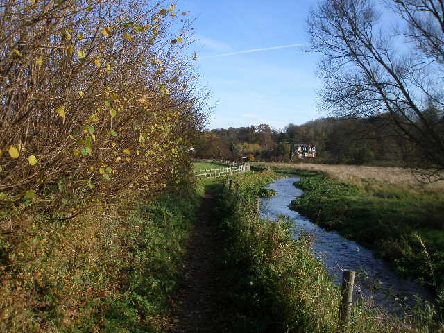
Path beside the river Chess, approaching Mill Farm
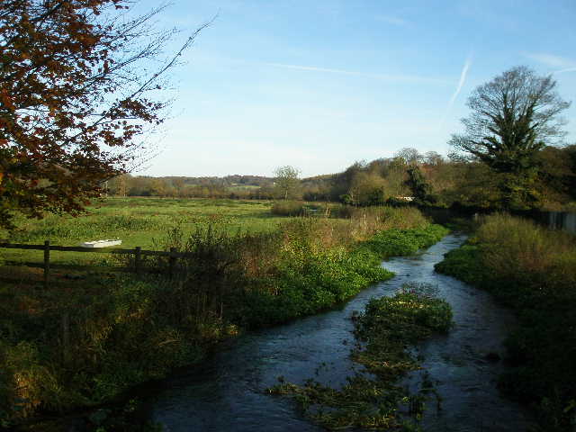
The river chess from near Mill Farm
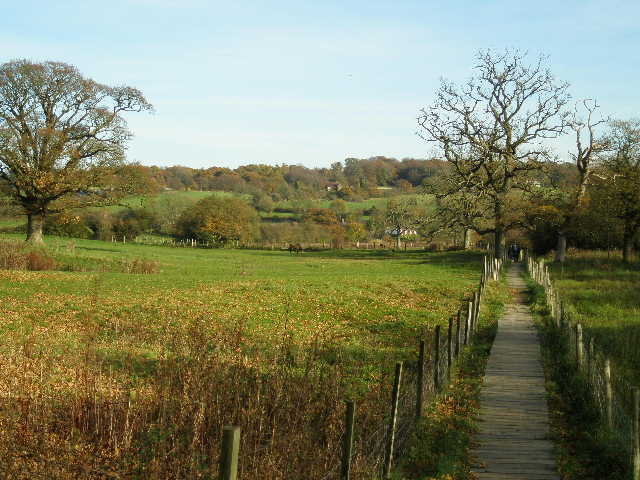
Path through the Chess Valley
The path came close to the river at a point where watercress was being grown – the walkers ahead of me went somewhere right here, obviously on a path not on my map. I continued ahead down the valley on a farm drive, and at the end turned right along a lane. I was now in part of the Chess valley known as Sarratt Bottom (I visited Sarratt church on the Chiltern Way this spring). Where the lane turned left I went straight on along a tarmac drive, with the river visible a few feet away through the hedge on my right.
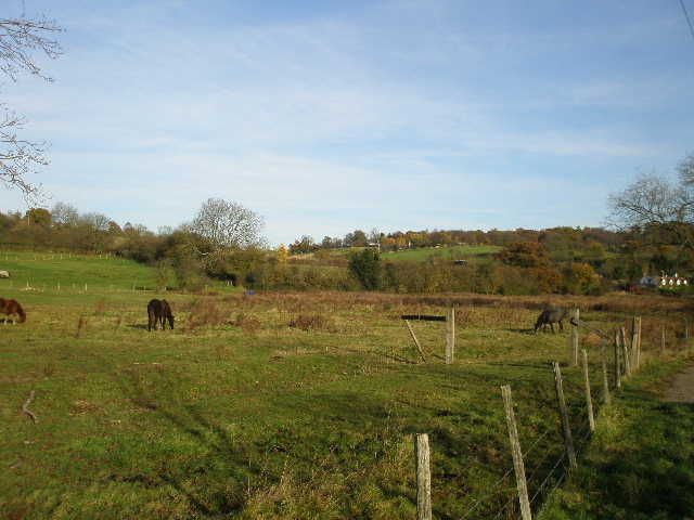
The Chess Valley, from just past the watercress beds
The lane along Sarratt bottom
Just yards after the tarmac ended at a row of cottages, I reached a crossing path where I turned right and crossed the river Chess on a small footbridge. On the hillside behind me were Strip Lynchets, remains of mediaeval field terraces (I only noticed them because they were indicated on a Chess Valley Walk information board, one of several I passed today).
The river Chess (looking north from the footbridge)
Strip Lynchets, on the hillside east of the footbridge
I was now on the route of the Chiltern Way, but only for a couple of hundred yards or so as I crossed an old water meadow. As I reached the far side, I met the four walkers I'd seen earlier, appearing from the right. We stopped and chatted for a few minutes - one of them walked with the Hillingdon branch of the Ramblers Association, the same as a gentleman I met on a walk near Chalfont St Giles recently. I then went on a few yards before taking a path going half-right. This path went steadily uphill across a large grass field to a hedge where I turned left, turning right in the field corner to follow a wood on my left. This curved round to the left, and then I followed another hedgerow to a farm, and finally followed the farm drive back to the centre of Chenies where I’d parked.
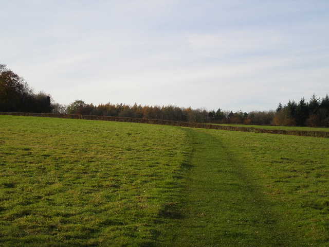
The path from the footbridge towards Chenies
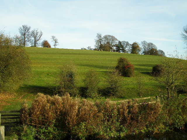
Looking back across the Chess Valley from the footpath to Chenies
The Chess Valley from the farm drive leading to the centre of Chenies
I probably walked about 12 miles – the walk only took just over 4 hours. It had been very sunny and bright throughout, there were still many trees in their autumn colours though most had shed their leaves, Chenies and Latimer were well worth revisiting and the Chess valley was as lovely as ever. All in all, this was a thoroughly enjoyable walk that I’d be very happy to do again.
To see this walk done in the opposite (anti-clockwise) direction on 10/07/10, click here - Chenies and Ley Hill.