Pete's Walks - Chenies and Ley Hill (page 1 of 3)
If you are considering walking this route yourself, please see my disclaimer. You may also like to see these notes about the maps and GPX files.
Google map of the walkDownload GPX file of the walk
WARNING: I would strongly recommend only doing this walk in the summer months, as the path in the Chess valley at the start of this route can be affected by flooding. Even in summer it can be very wet.
I did this roughly 12-mile walk on Saturday, 17th July 2010. It was largely a repeat of a walk I've done a couple of times before, but in the opposite direction (today I went anti-clockwise).
Having parked near the centre of Chenies (grid reference TQ 017984), I started walking about 9.40am, taking a footpath that followed a long tarmac farm drive heading east from the centre of the village (so I had my back to the church and Chenies Manor). Beyond Mountwood Farm the path went slightly right, then followed the edge of a wood on my right for a while. The footpath then went left beside a hedge, before going half-right and dropping quite steeply downhill. In the valley bottom I turned left onto a path that soon crossed the river Chess on wooden bridges at Sarratt Bottom.
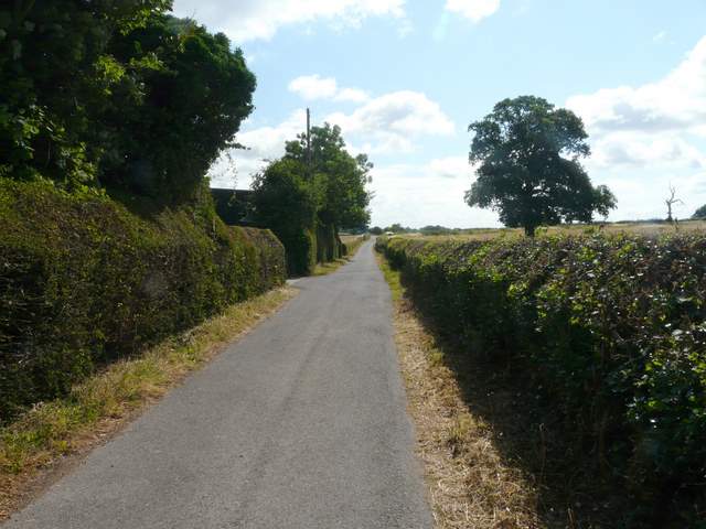
The farm drive leading away from the centre of Chenies
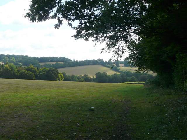
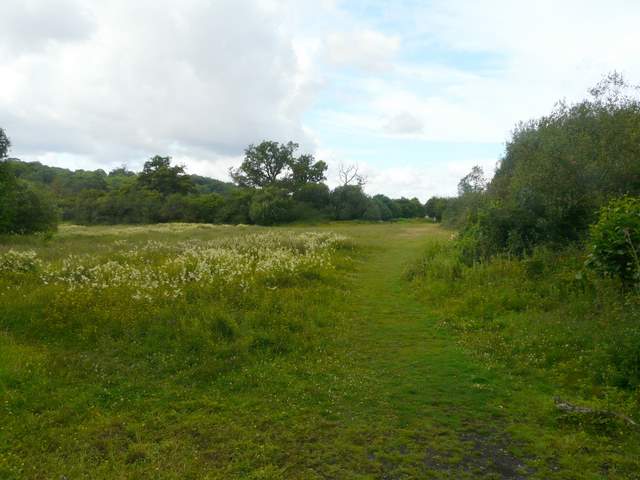
The path from Chenies down to the Chess Valley
The path from Chenies down to the Chess Valley
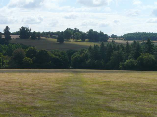
The path across the Chess Valley at Sarratt Bottom (you might just be able to make out the lynchets on the opposite hillside, the remains of ancient agricultural terraces)
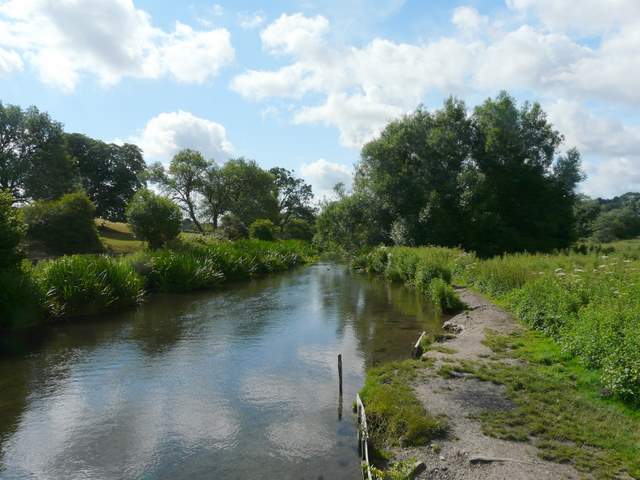
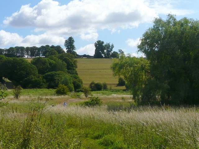
Looking southeast along the river Chess at Sarratt Bottom
Looking northwest along the river Chess at Sarratt Bottom
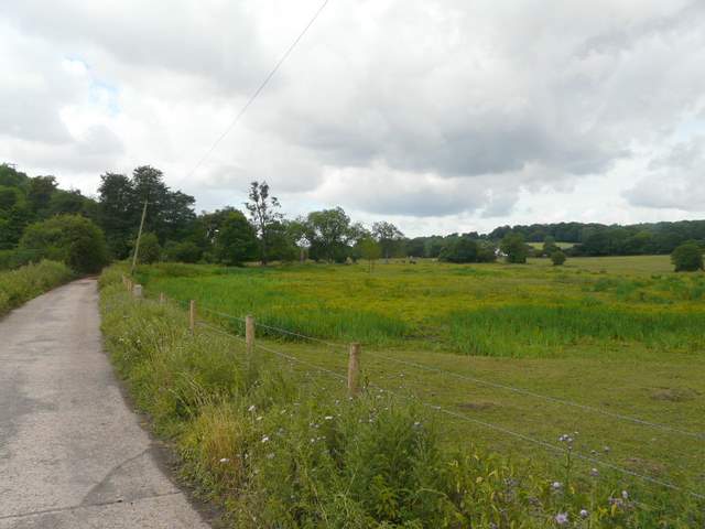
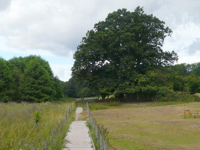
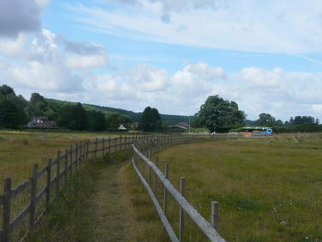
I then turned left along a narrow hedge-lined lane, and thus started a long stretch along the Chess Valley. This initial section along the lane seemed longer than I remembered, but eventually I reached a junction where the lane turned right but I turned left along a tarmac drive leading to a commercial cress grower. The footpath continued westwards along the valley floor, initially on duckboards, and then continued through meadows and fields for another three-quarters of a mile to reach a lane at Chenies Bottom.
The path through the Chess Valley, approaching the commercial cress beds
The path through the Chess Valley, along the duckboards south of Valley Farm
The path through the Chess Valley
The path through the Chess Valley, approaching Chenies Bottom
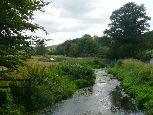
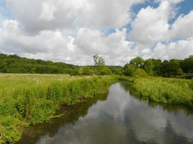
Looking back east along the river Chess, from Chenies Bottom