Pete's Walks - Coombe Hill and the Hampdens (part 3)
I now continued northwards along the Ridgeway (marked by white acorn signs), commencing by taking a long descent down from Whiteleaf Hill through more woodlands. There were nice wooded views back towards the Hampdens to my right.
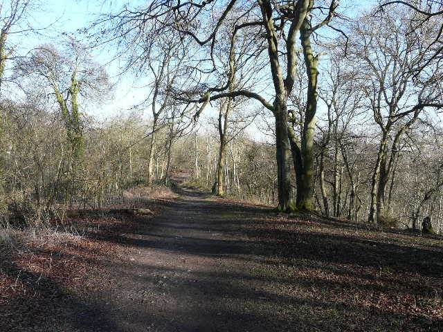
Start of the path down from Whiteleaf Hill
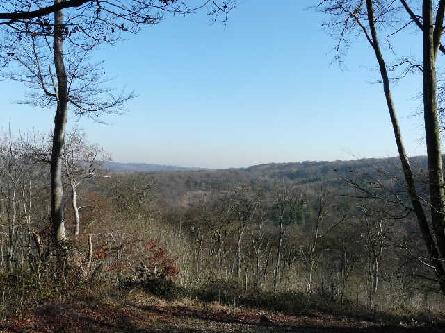
View from the path down Whiteleaf Hill
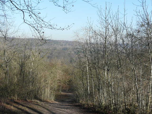
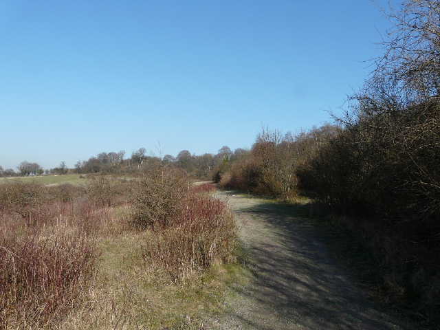
The path down from Whiteleaf Hill
At the bottom of the hill I passed a pub in Lower Cadsden. At the end of the short street from the pub, I turned left along a road for a few yards before taking a path on the other side of the road. This soon took me to part of a Nature Reserve, where I turned left and followed a clear path, soon with with Pulpit Hill ahead and to my right.
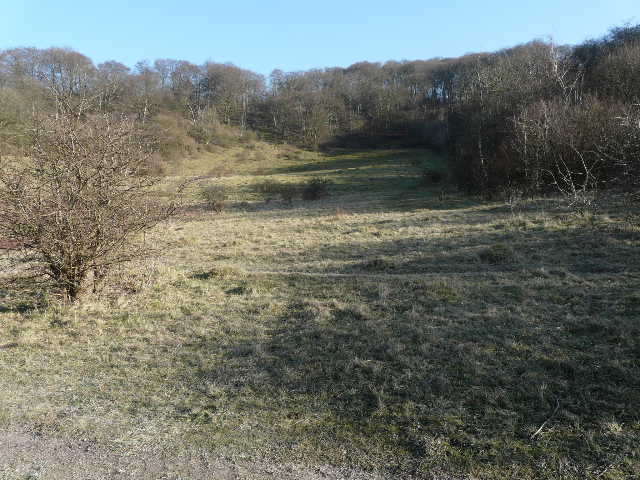
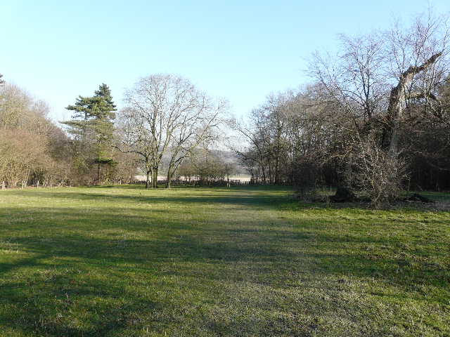
Grangelands and Pulpit Hill nature reserve, with the wooded summit of Pulpit Hill to the right
Still following the Ridgeway (white acorn signs), I wound my way round the western side of Pulpit Hill - it was along here that I saw the Common Spotted Orchid which sparked my interest in wildflowers, back in the summer of 2006.
Path round Pulpit Hill
Pulpit Hill
The path eventually went up some steps in a bank and ended at a junction with a bridleway. This was the starting point for the North Bucks Way - the South Bucks Way starts at Coombe Hill, where I started this walk.
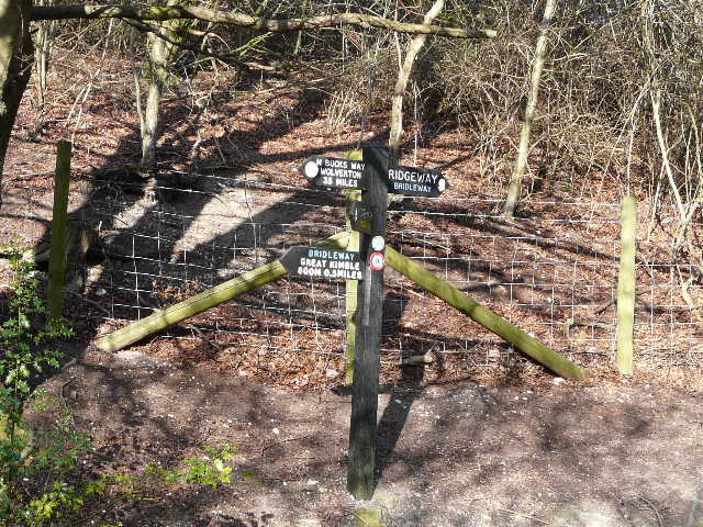
Junction where the North Bucks Way starts
The Ridgeway went a few yards right here, then left through a kissing-gate. I now continued on what is labelled 'Cradle Footpath' on the map, heading towards the Prime Minister's country retreat of Chequers. I went through a large irregularly shaped pasture near the end of a valley (on my left), and then crossed a flatter pasture to a gate.
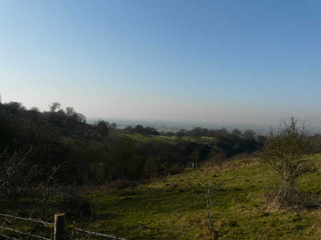
View towards the Vale of Aylesbury from the Cradle Footpath
The Ridgeway, approaching Chequers
The path now continued beside a wood on the right, with a large arable field on my left. Beyond the field was Chequers, with Coombe Hill and its monument in the background.
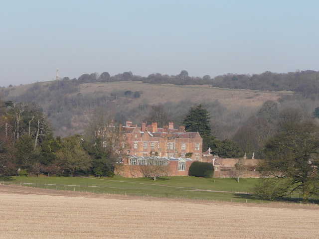
Chequers, with Coombe Hill beyond
I met a group of young walkers coming the other way, then a single walker. I thought there was another walker coming too, but then realised it was an armed policeman, obviously there to protect the PM. I turned left and crossed an empty pasture beside a fence, spotting a buzzard high overhead. The path continued across the drive to Chequers, and then followed a fence through another field where I met another group of walkers.
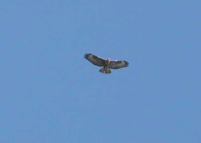
Buzzard, high in the sky near Chequers
I crossed a road and continued on a path through a narrow belt of trees, rising gently uphill. The gradient steepened as I entered a wood. Near the top of the hill I turned left (still following the white acorn signs for the Ridgeway), walking from one waymark post to the next through a very pleasant beech wood. On reaching a road, I went right for a couple of hundred yards or so, then left again through more beech trees.
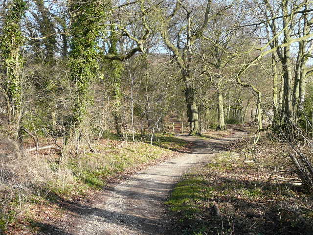
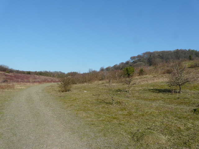
Start of the path back to Coombe Hill
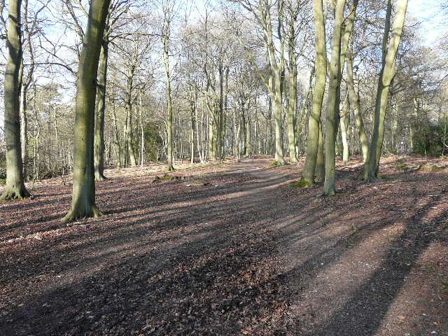
Path through the beech wood heading back to Coombe Hill
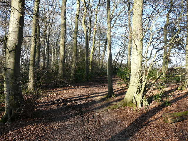
Path approaching Coombe Hill
Finally, on going through a metal kissing gate, I turned right (leaving the Ridgeway) and walked through an area of bracken and gorse back to the car park on Coombe Hill where I had started.
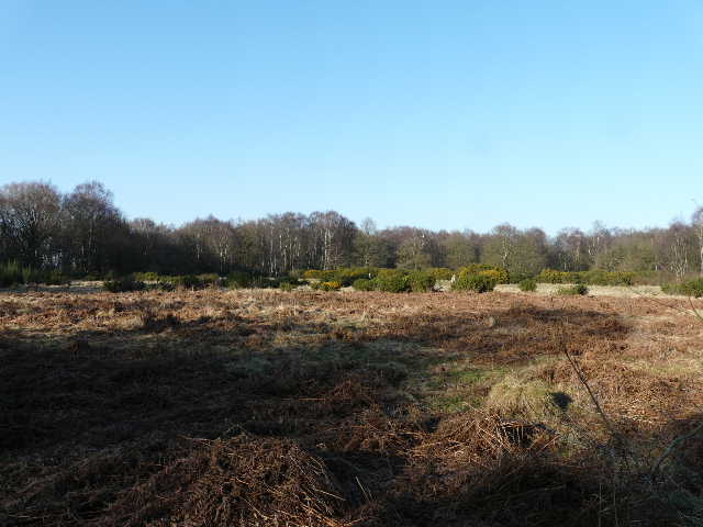
Access land on Coombe Hill
To see a slightly lengthened version of this walk (including Bacombe Hill) done in the opposite direction on 3/7/10, click here - Coombe Hill, the Hampdens, Bacombe Hill.
To see a slightly lengthened version of this walk (including Bacombe Hill) done in the opposite direction on 18/3/9, click here -Coombe Hill and the Hampdens.