Pete's Walks - Hambleden, Stonor, Frieth (page 2 of 4)
I turned right along the lane for a few yards, then went left along a farm track. Where it turned left towards Coxlease Farm, I went right on a bridleway. I was on the edge of a wood, with the more open land of the deer park around Stonor House beyond the metal fence on my right. There had been some large yellow signs with arrows pointing this way at the junction with the farm track, and several mountain bikers passed me here as I followed the bridleway steeply downhill - there was obviously some event taking place for them.
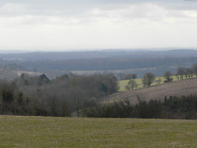
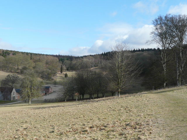
Looking south from near Coxlease Farm
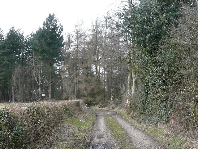
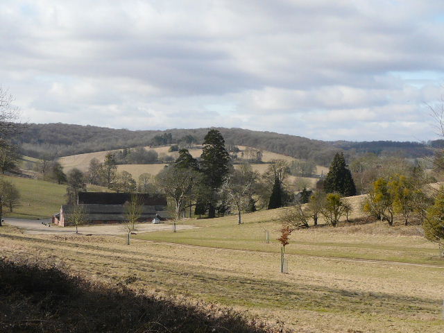
Track near Coxlease Farm
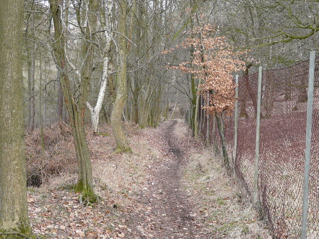
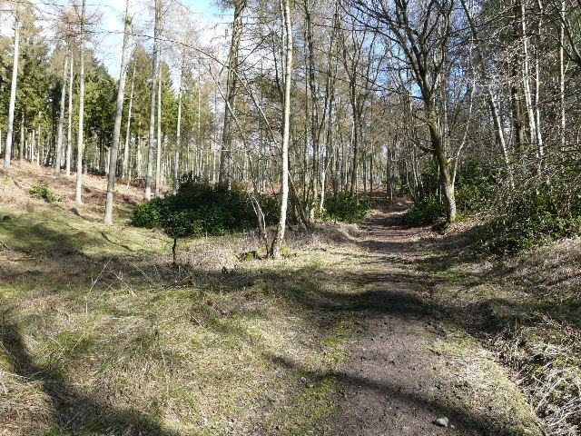
The bridleway to Stonor, beside the boundary fence of Stonor Park
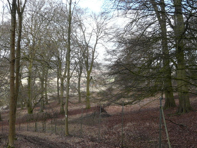
The bridleway to Stonor, beside the boundary fence of Stonor Park
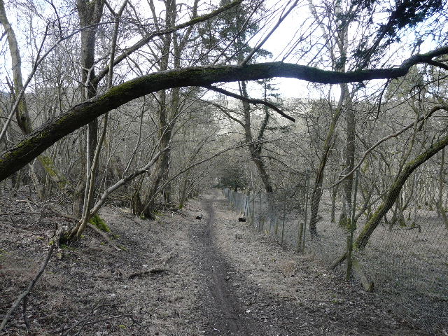
The bridleway to Stonor, beside the boundary fence of Stonor Park
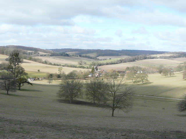
The bridleway ended at the minor road through the village of Stonor, where I turned right, joining part of the Chiltern Way which I would be following for the next few miles. After a few hundred yards, I took a path on the right, going through a tall gate to enter the deer park around Stonor House. I now had a long but fairly gentle uphill section, but there were initially plenty of excuses to stop as there were great views ahead and behind me that just demanded to be photographed. There were great views of Red Kites again, as there would be so often on this walk. The grey clouds I'd had at the start of the walk had now cleared, and there was plenty of sunshine and blue sky about.
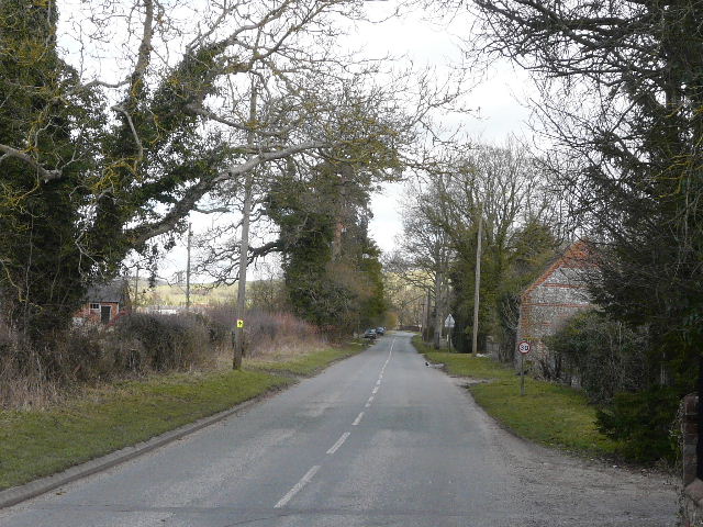
Road through Stonor

Start of the path through Stonor Park
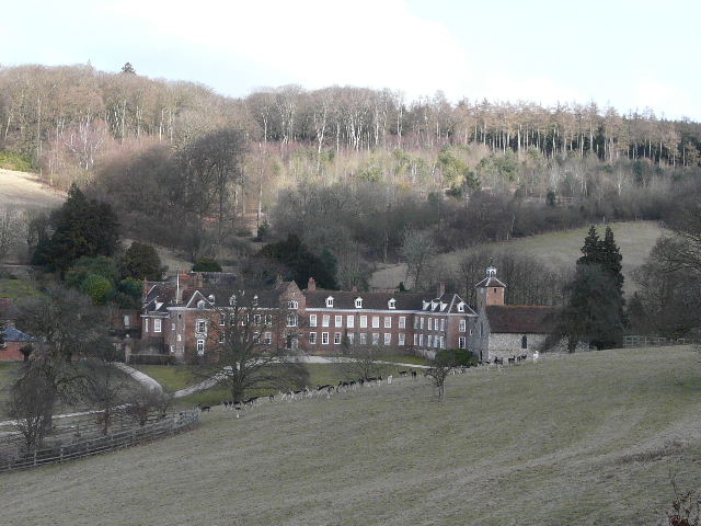
Stonor House, with its chapel and some of the deer in the deer park
Looking towards Pishill, from the path through Stonor Park
The path through Stonor Park
Looking back over Stonor Park
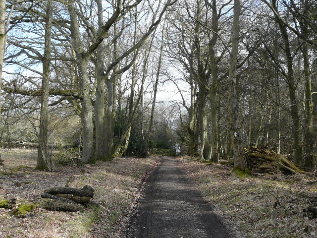
Beyond the deer park, the path continued slowly uphill through Balham's Wood. Curiously this section seemed much shorter than I remembered it - it's usually the opposite, especially uphill sections! I turned left along a lane at the end of the wood, then right to pass through the hamlet of Southend (it's at the south end of the parish of Turville).
Path through Balham's Wood
Nearing the edge of Balham's Wood and the hamlet of Southend
The green at Southend