Pete's Walks - Hambleden, Stonor, Frieth (page 3 of 4)
Beyond Southend Farm, a path led between fences and then downhill through a small wood. Across Dolesden Lane, the path then headed directly towards Cobstone Mill, perched on top of a very steep scrub-covered slope beyond the village of Turville (which was hidden from view by trees). There were good views here too, as five valleys radiated out from Fingest (ahead and to my right).
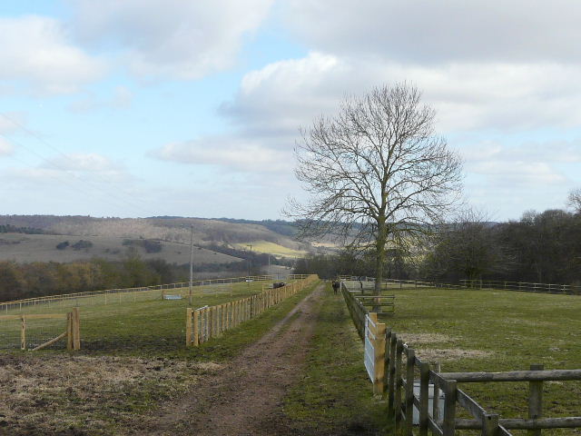
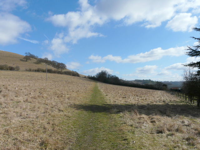
Start of the path from Southend Farm to Turville
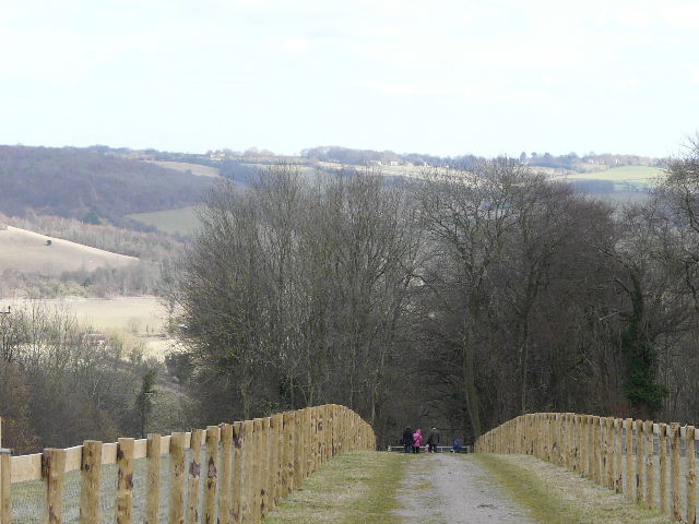
The path to Turville
The path to Turville, which is hidden by the trees below Cobstone Mill on the skyline
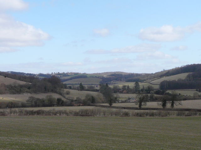
Looking towards Fingest, amongst the trees in the centre of the photo
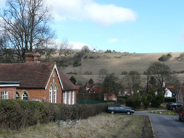
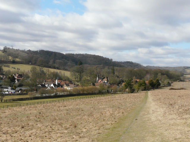
Turville (with Cobstone Mill)
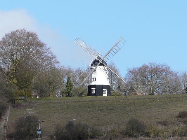
Close-up of Cobstone Mill
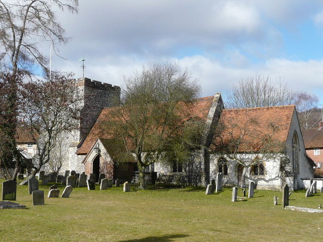
Turville church
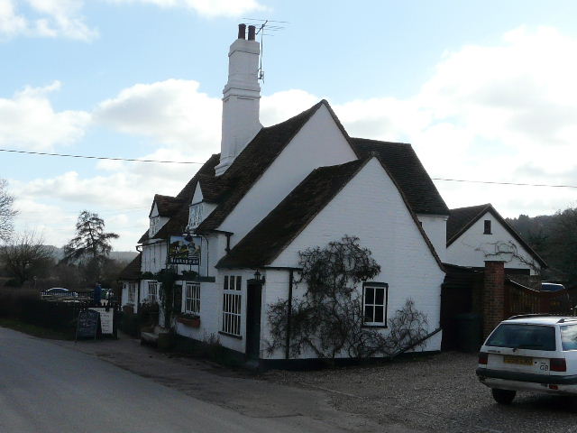
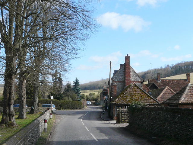
The pub in Turville
I quickly passed through Turville (the setting for 'The Vicar of Dibley' and used in many other TV shows and films), crossing the road in the centre of the village and taking a footpath on the other side. I continued along the Chiltern Way route as it soon went half-right at a gate, winding its way around the end of a ridge with Cobstone Mill above me to my left. After a pasture and an area of scrub, the path crossed a lane and passed through the end of a wood, before keeping right at a path junction to reach Fingest, with its amazing Norman church. I turned left along the road and then, just beyond the village, turned right on a footpath and climbed steadily uphill, following the edge of two large sheep pastures, the second beside Fingest Wood.
Start of the path from Turville to Fingest
Looking back to Turville
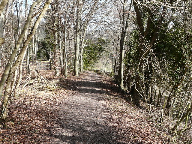
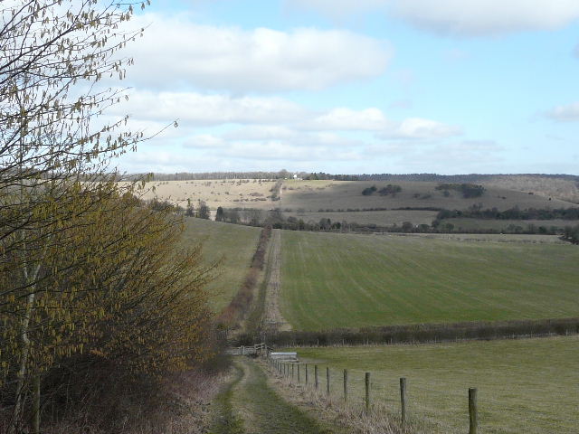
The path from Turville to Fingest
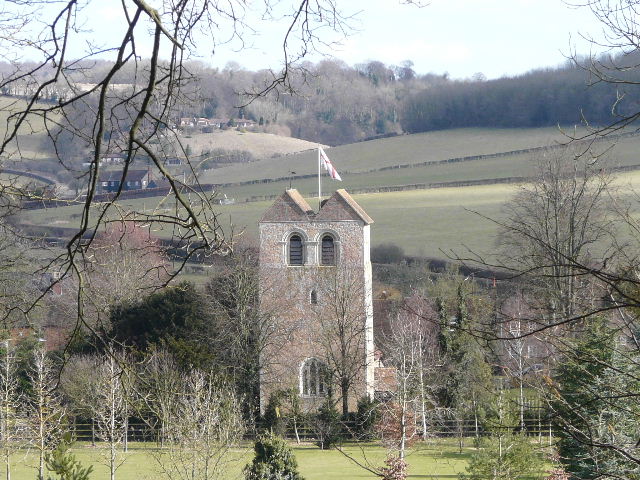
End-on view of the massive Norman tower of Fingest church
Fingest
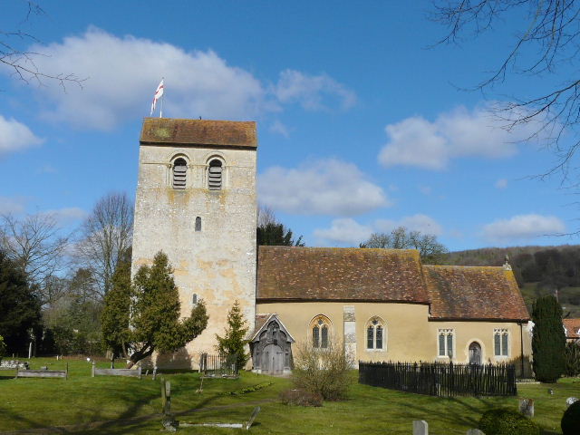
Fingest church
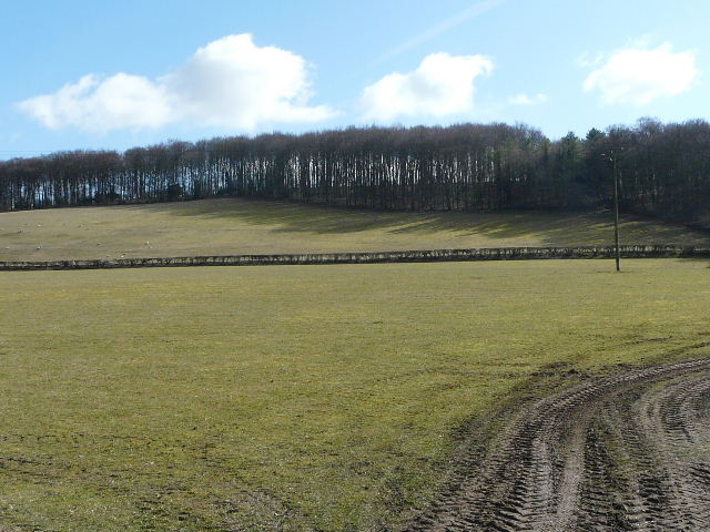
The path from Fingest runs along the edge of Fingest Wood, entering it at the highest point of these pastures