Pete's Walks - Kensworth to Totternhoe (part 1)
If you are considering walking this route yourself, please see my disclaimer. You may also like to see these notes about the maps and GPX files.
Google map of the walkDownload GPX file of the walk
This is one of my local walks that I do a few times a year. It is a circular walk from Kensworth to Totternhoe and back, about 13 miles. The photos were taken on November 5th, 2007 - it was grey and murky day, so the usual good views were very restricted. I may replace the photos when I do the walk on a better day.
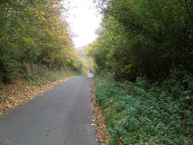
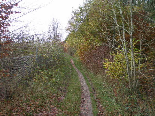
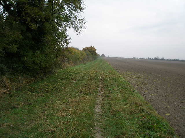
The walk starts in Kensworth, and goes north down Hollicks Lane towards Church End. After two or three hundred yards there is a path on the other side of the hedge on the left of the lane (beginning at a driveway). The path descends a steep valley and follows the hedge and lane up the other side (the map shows that the gradient of the lane is between 1-in-5 and 1-in-7 on both sides of the valley). Near the top of the hill, the path rejoins Hollicks Lane, which soon descends slightly to Church End. I took the path through the churchyard, which passes to the left of the 12th century church and continues through a field at the back of the church to reach Beech Road.
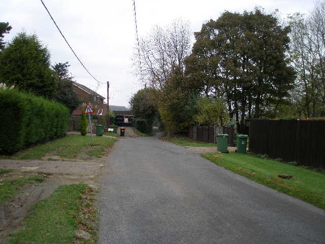
The start of Hollicks Lane in Kensworth
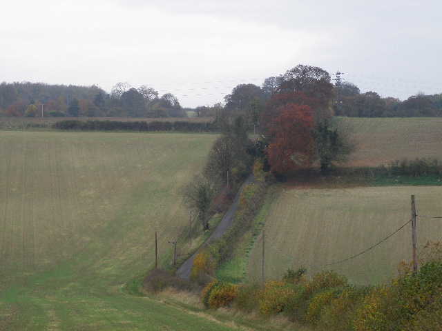
The path descending and rising beside Hollicks Lane
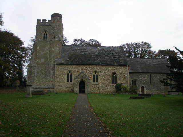
St Mary's church, Kensworth, parts of which date back to the 12th century
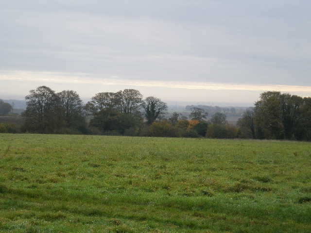
View west from the footpath behind the church
I turned left along Beech Road for about half a mile, following it as it descended a small valley and rose again up the other side. Near the top of the rise I turned left at a gate and joined the path that runs all around the huge Kensworth Quarry (I could have joined this path nearer the church and avoided the road walk, but that part of the quarry path can be very muddy). I turned right along the path, with the huge white expanse of the chalk quarry beyond a fence to my left. I passed some fading Michaelmas Daisies, and soon I had a view across Dunstable to Blows Downs, over to my right. The path followed the fence around the quarry for a mile or so - I remembered seeing Pyramidal Orchids and Common Spotted Orchids here this summer. I passed one or two path junctions, but just kept following the quarry fence.
Beech Road
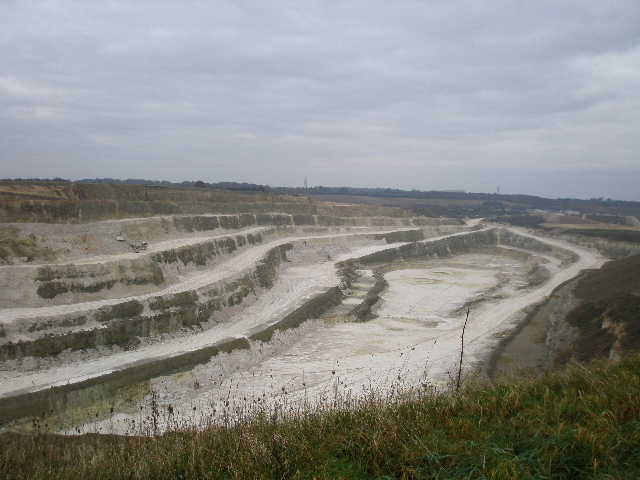
Kensworth Quarry
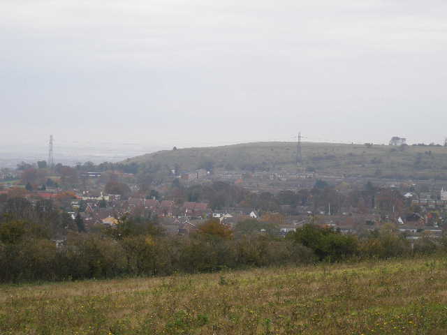
Looking across the south of Dunstable to Blows Downs, from the Quarry path
The Quarry path
The Quarry path
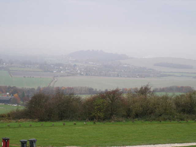
Eventually I turned right at a yellow post (if I'd missed this turning, I'd have reached the drive to the quarry a little further on). I went a few yards through trees, then turned left along a path beside Dunstable Downs Golf Course. I soon reached and crossed a road, to arrive at a car park on top of Dunstable Downs. Because of the weather conditions, the view was very restricted - maybe just 10 miles, rather than the 40 miles that can be seen on a clear day. I turned right to walk along the top of the Downs towards Dunstable - the National Trust were putting in a new path along here, and so the old path I was on was diverted in a couple of places. I went past the ancient burial mounds of Five Knolls, and descended a broad grass strip to reach West Street, Dunstable.
Totternhoe from Dunstable Downs - Totternhoe Knolls is at the left end of the wooded hill
Looking along the top of Dunstable Downs
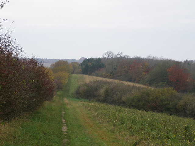
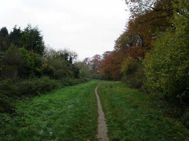
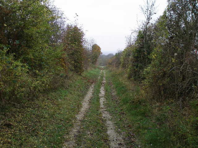
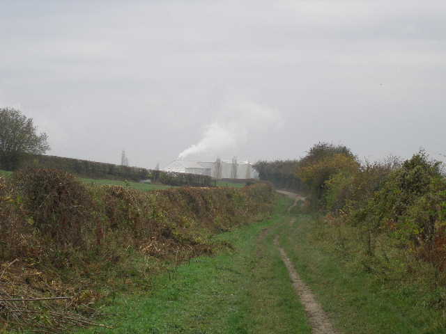
I crossed the main road and went a few yards right, before going through a small car park and turning left down a wide track (aptly named Green Lane). After a few hundred yards I was back out into open countryside, and after another few hundred yards I turned right at a track crossroads, now heading towards the hamlet of Sewell. After a while the track turned left, and further on started to go downhill. At the foot of the slope instead of turning right to go under an old railway bridge to reach Sewell, I went straight on towards Totternhoe, with an old chalk quarry on my left (part of it is a nature reserve where I looked for wildflowers this summer).
Green Lane, Dunstable
The path from Green Lane towards Sewell
The path to Sewell
An old chalk quarry near Sewell
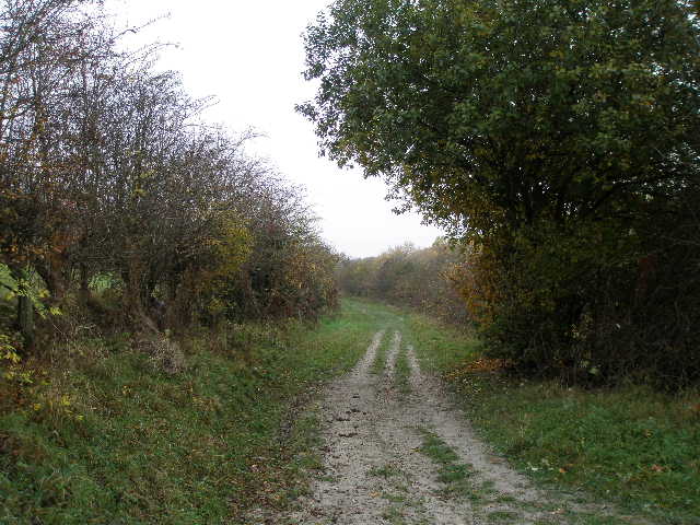
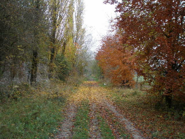
I was now following a good track between hedgerows, which went on for some way to reach the cement works at Totternhoe. I turned right along a track beside the cement works, passing some particularly brightly coloured trees, then turned left to reach the edge of Totternhoe.
Track between Sewell and Totternhoe
The track heading towards the cement works at Totternhoe
The track beside the cement works