Pete's Walks - Wendover Woods and Wigginton (part 1)
If you are considering walking this route yourself, please see my disclaimer. You may also like to see these notes about the maps and GPX files.
Note: This route is the same as Walk 5 of my Chiltern Chain Walk. See here for route description.
This is a circular walk of about 12.6 miles, from Wendover Woods to Wigginton, largely following the ancient earthwork of Grim's Ditch, and returning via Tring Park, Hastoe and Aston Hill. I did this walk on 20th October 2007, a glorious sunny autumn day. I started from the car park in Wendover Woods at about 10.05am (you have to pay to park here, the charge is currently £3 [UPDATE 18/08/12 - It is now £5 - I would now recommend starting the walk at Wigginton instead, where you can park for free by the playing fields]).
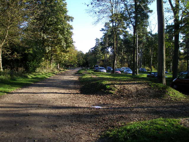
Looking back at the car park in Wendover Woods
From the car park I headed south on a clear track through the woods (initially part of the car park was to my left). I soon passed an area set aside for barbecues and further on saw the start of a 'Fitness trail'. The woods sloped steeply down on my right towards the flat expanse of the Vale of Aylesbury, and I occasionally got some views out in that direction.
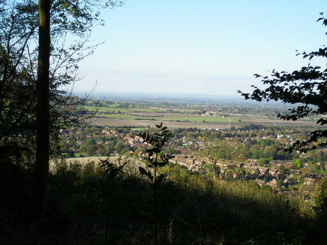
Looking out from Wendover Woods, over Wendover and the Vale of Aylesbury
The track continued through the woods to Boddington Hill, where the map showed a 'fort' (presumably an Iron-age hillfort, similar to one I saw at Pulpit Hill a few days ago).
Looking back along the track over Boddington Hill, with the earth bank of the Iron-age hillfort on the right of the photo
I'd passed a sign indicating that there was a view point ahead on Boddington Hill, and when I got there I again admired the view over Wendover and the Vale of Aylesbury. I could also see Bacombe Hill (which I walked over a couple of weeks ago) on the other side of Wendover, and could just see the monument on top of Coombe Hill. The views weren't quite at their best, as it was rather hazy over the Vale of Aylesbury.
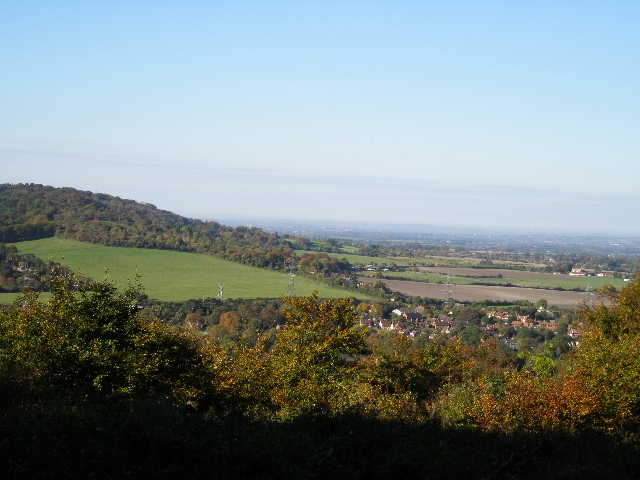
View from Boddington Hill - Bacombe Hill, Wendover and the Vale of Aylesbury
I stayed on the track as it descended the southern end of Boddington Hill, curving left. When it came to a junction I turned sharp right and continued downhill on another track. This soon levelled out, and as it started to rise gently uphill again, I forked left on a short track to reach Hale Lane.
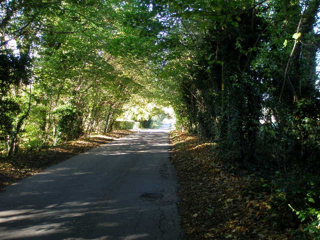
Hale Lane
I turned right, and followed the lane for about half a mile to reach the edge of Wendover. At a junction, I went left for about 100 yards, then turned left again into Hogtrough Lane. I'd walked this before, on the Chiltern Link and on my Berks-Essex Walk (it's part of The Ridgeway). After passing a couple of houses, the tarmac lane became a gravel drive.
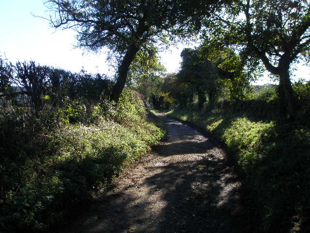
Hogtrough Lane
View from Hogtrough Lane, looking left across a valley called The Hale to Boddington Hill
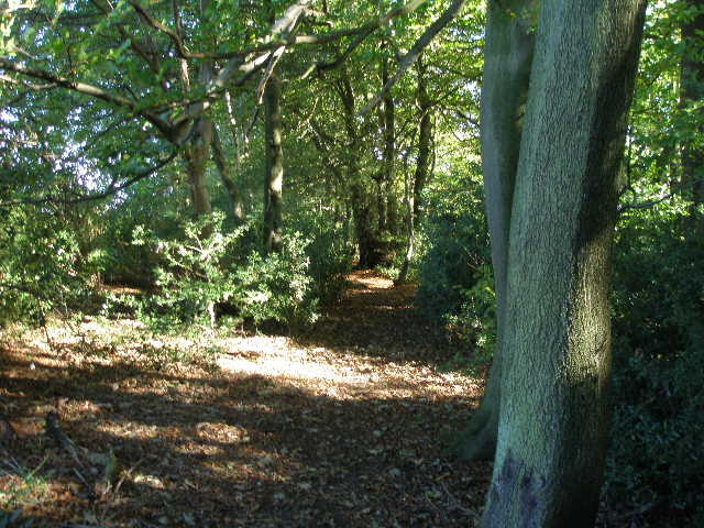
I followed Hogtrough Lane for about half a mile, the track running between hedges with fields either side. When it reached a farm, I continued ahead into woods, soon following The Ridgeway (marked by white acorn symbols) as it turned left and started a long and steady climb uphill through Barn Wood.
Start of The Ridgeway path through Barn Wood
Near the top of the slope I turned right on a short path that soon met a track close to the summit of the hill, where I turned left. This track was quite muddy in places, but it was still a nice walk through the woods.
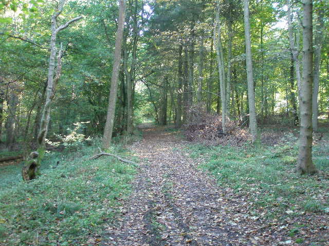
Start of the track through Barn Wood
After a few hundred yards, a footpath crossed the track. I went straight on for a few more yards before turning left onto another footpath through the trees.
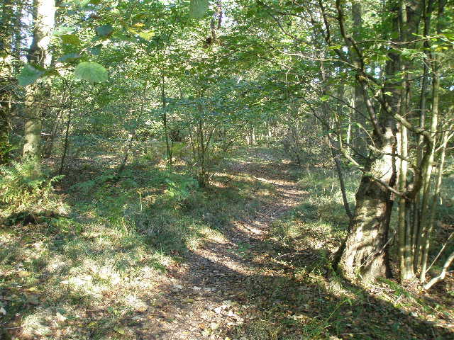
Start of the footpath through Barn Wood
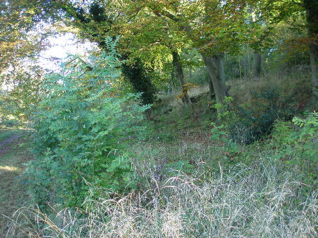
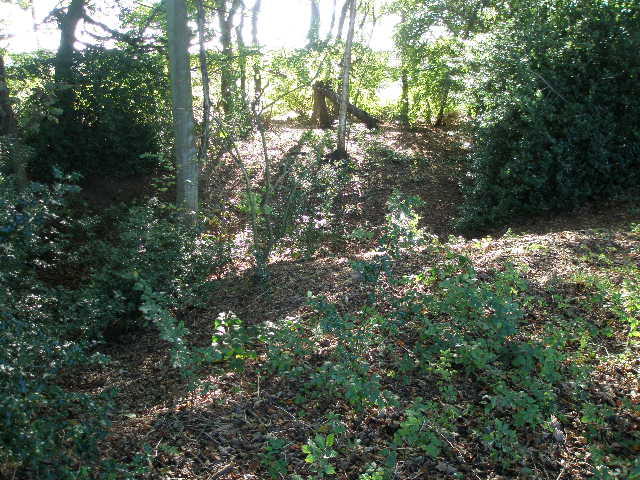
After a short distance this path left Barn Wood, and continued through a narrow belt of trees with small ploughed fields either side. On the far side of these fields the path went a few yards right, then left to enter Baldwin's Wood, where I got my first view of Grim's Ditch, an ancient earthwork, the course of which I would be following for about the next four miles. Here it appeared as an earth bank amongst the trees on my left.
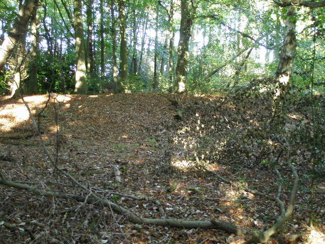
First sighting of Grim's Ditch, here an earth bank
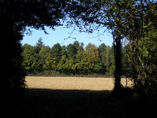
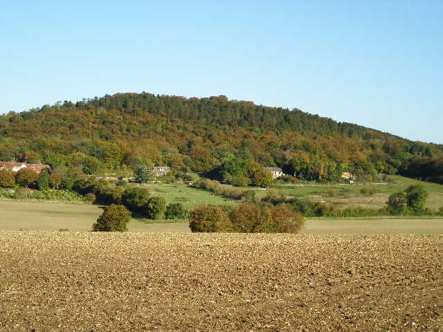
Looking out from Baldwin's Wood
The path through Baldwin's Wood followed a course just to the right of the earthwork. It eventually emerged at a lane junction, where I followed the lane going straight ahead. Where the lane met a minor road near St Leonard's Common, I went a few yards left then turned right on a footpath, still a few yards to the right of the line of Grim's Ditch. The path started by a driveway, followed the left edge of a pasture, went through a small wood, and then followed the left edge of a paddock to reach another lane by Leyland's Farm.
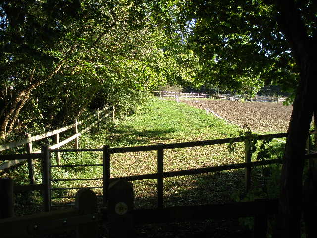
The path exiting a small wood, just before reaching a lane at Leyland's Farm
I continued on a surfaced drive almost opposite (curiously the fingerpost here said 'Public footpath and bridleway', rather than just 'Public Bridleway'). This ran along the county boundary, so I walked along the middle of the drive, imagining my left leg to be in Hertfordshire and my right leg in Buckinghamshire.
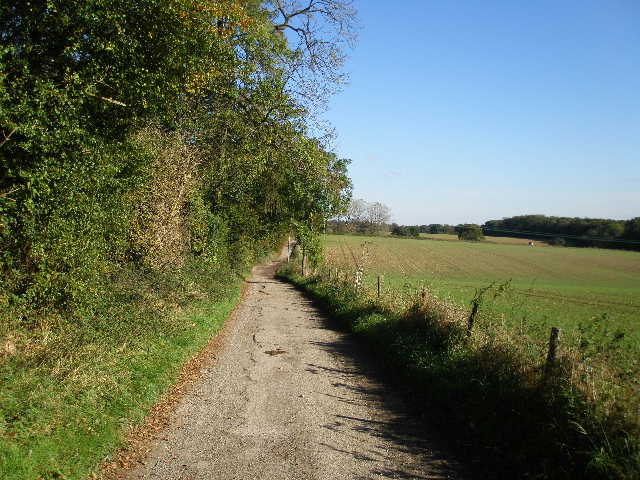
The drive from near Leyland's Farm, following the county boundary
The farm drive ended at a lane, where I went a few yards to the left and took a footpath on the other side. At a field corner I went a few yards right then turned left. I was now back on familiar territory, walking part of the Chiltern Way as it followed another lengthy section of Grim's Ditch through a narrow belt of trees. Here the ancient earthwork appeared as a ditch.
Grim's Ditch, here seen as a ditch rather than a bank.
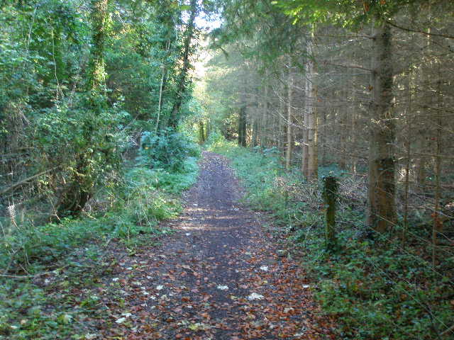
The Chiltern Way, running alongside Grim's Ditch through a narrow belt of trees
The tree belt ended where a broad track crossed my route. I continued ahead over a ploughed field to enter High Scrubs Wood
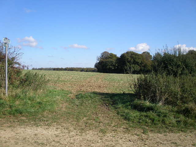
The Chiltern Way, heading for High Scrubbs Wood