Pete's Walks - Circular walk from Royston (page 1 of 2)
If you are considering walking this route yourself, please see my disclaimer. You may also like to see these notes about the maps and GPX files.
I did this 11.8 mile circular walk south from Royston, Herts., on Saturday, 26th September, 2009. I think it is the first walk I've described on these pages where I wasn't on my own, as I did it with my friend Stu. Royston is roughly halfway between where I live and where Stu lives (he's a former colleague of mine at BT in Ipswich), and we've met up here a couple of times before to do this same walk. The walk is basically short sections of the Hertfordshire Way, Hertfordshire Chain Walk and Icknield Way (I did this bit as part of my Berks-Essex Walk) linked together to form a circular route. It passes through the villages of Therfield, Kelshall and Sandon.
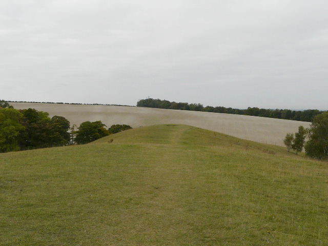
We started at the car park by the sports pitches on Therfield Heath, just west of the centre of Royston. The very large car park was very busy, with lots of people taking their dogs for a walk (a whole group of people with greyhounds were meeting up) and several golfers arriving to play on the course that stretches along the slopes of the heath. We started walking about 10.10am, following a path uphill towards the top of the heath, then turning right to join the Hertfordshire Way (just a short distance from its start in the centre of Royston), which we would be following for a few miles. The path initially headed west, and followed the top of a steep slope for over a mile, mainly through trees but with occasional open sections where there were great views across the golf course to the lower lying land to the north.
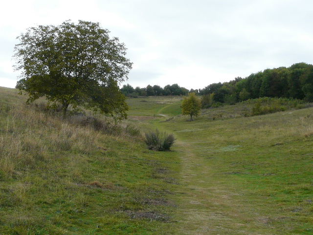
Therfield Heath, the start of the walk
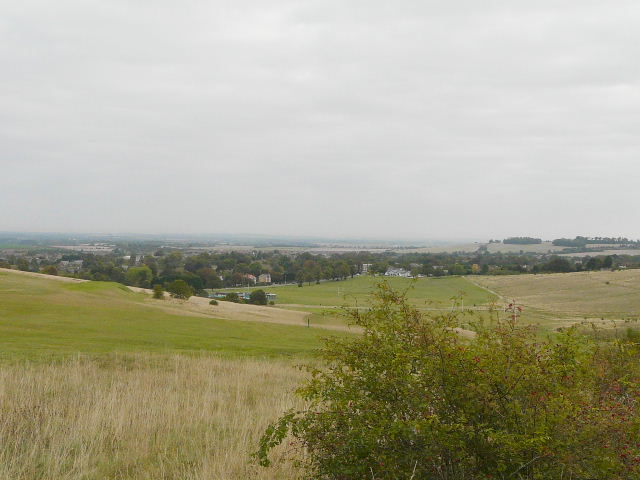
View north across the golf course on Therfield Heath
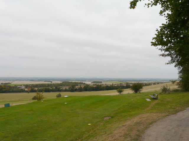
Another view north across the golf course on Therfield Heath
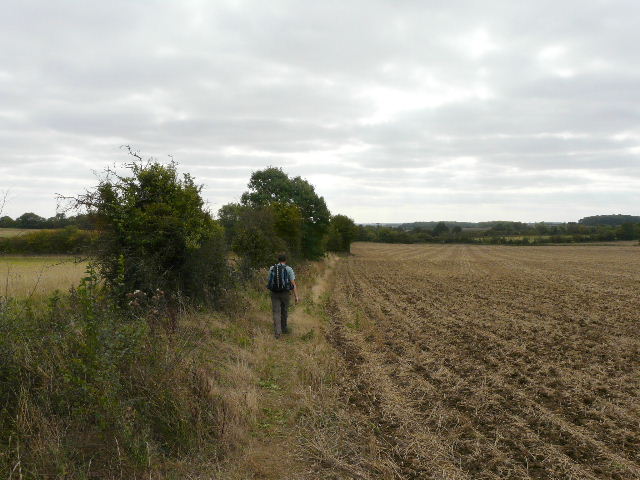
We passed through Fox Covert, a copse of attractive beech trees, and then went right along the short promontory of Church Hill, where we saw several wildflowers including Common Rock-rose, Clustered Bellflower and Harebells. The path then went through part of the golf course, continuing beside a very tall hedge for about half a mile, parallel to the A505 downhill to our right, until we reached Thrift Farm.
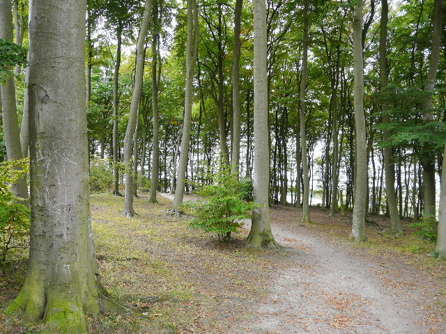
Fox Covert, Therfield Heath
Church Hill, Therfield Heath
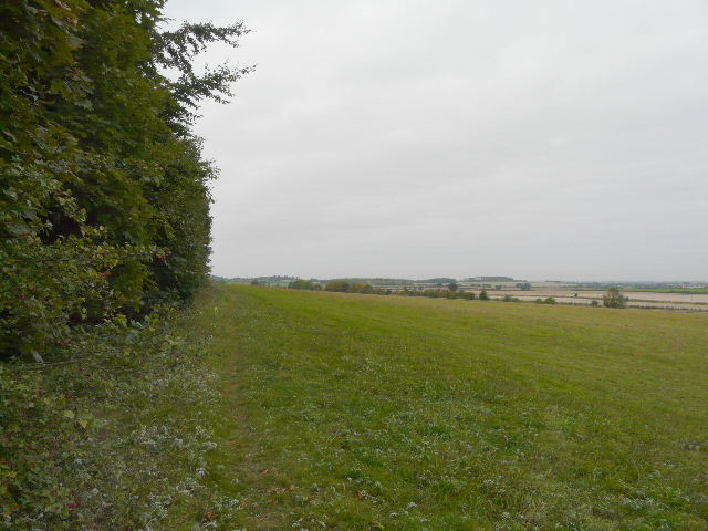
Path along the tall hedge parallel to the A505, heading towards Thrift Farm
We turned left and walked through the large farmyard at Thrift Farm, continuing along a lengthy footpath heading southeast towards the distant village of Therfield, whose position was indicated by a water tower at the top of a hill ahead of us. The path led through several fields, either ploughed or stubble, and we saw and heard two or three Buzzards here. We also spotted a far off group of around 10 Fallow Deer. About halfway along the path we passed a rifle range. Eventually the path headed uphill through trees to reach the edge of Therfield.
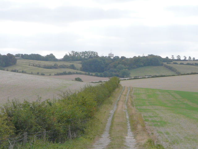
The path from Thrift Farm, heading towards Therfield (where the water tower is)
The path to Therfield
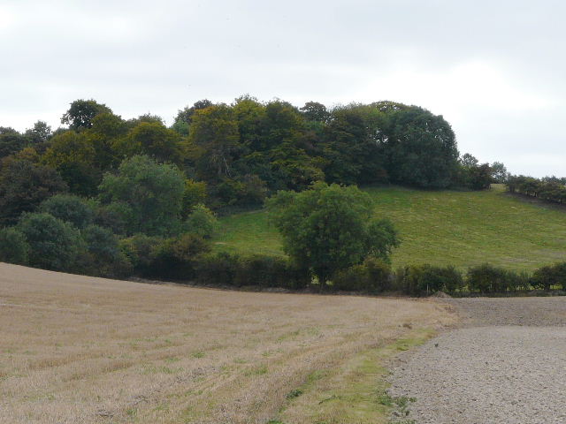
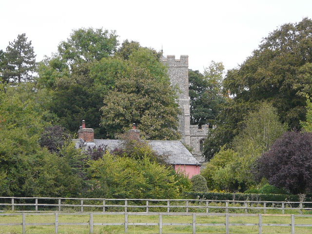
We skirted round the edge of the village, passing the water tower we'd seen from a distance. Leaving the Hertfordshire Way for a bit of the Hertfordshire Chain Walk, we followed field paths to the next village, Kelshall, just over half a mile away. I was a bit worried that the path crossed a couple of fields that had obviously been recently ploughed, but the path had been re-instated and was easy to follow. We made our way to the village church, and continued southwards towards Sandon, initially through a couple of paddocks. We then had a problem where the path had not been reinstated after ploughing, but could see the path ahead in a section of the field that was stubble, so just plodded our way across to it. The effort was repaid by the splendid view over to our right, again looking over the lower lying lands of Cambridgeshire. On the far side of the very large field we came across a strip of lovely blue Chicory.
Stu on a field path between Therfield and Kelshall
Looking back towards Kelshall church
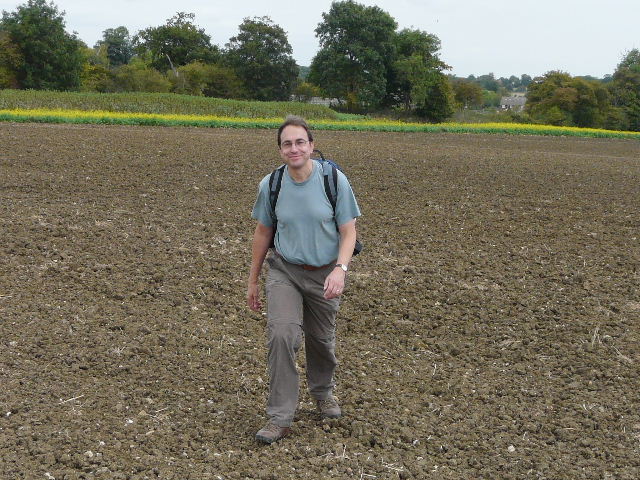
Stu crossing the large ploughed field between Kelshall and the lane to Sandon
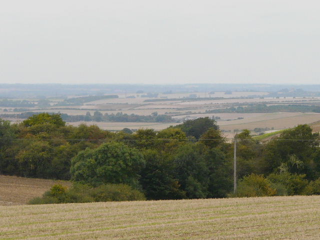
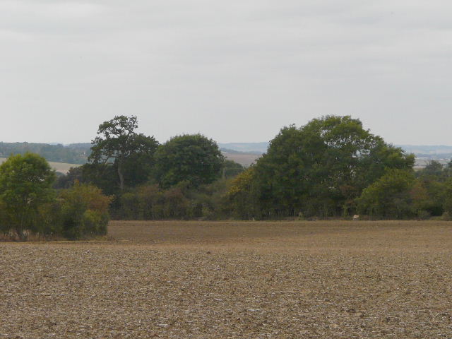
View north from the ploughed field
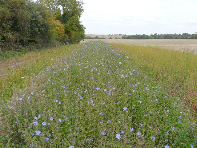
Strip of bright blue Chicory on the far side of the field
We then turned left along a lane, heading to Sandon. Again there were pleasant views over to our right, in the direction of Baldock. After about half a mile, shortly after a sharp right bend, we took a path on the left that took us to Sandon church.
View from the lane to Sandon
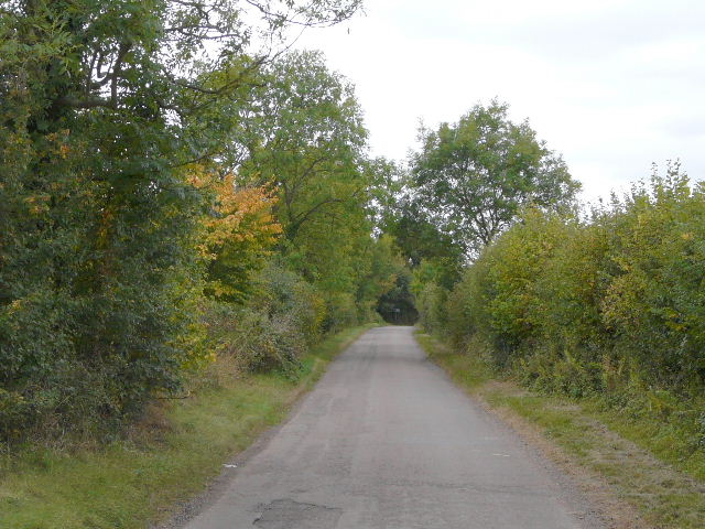
The lane to Sandon