Pete's Walks - Grand Union Canal 'figure-of-eight' walk (page 1 of 3)
If you are considering walking this route yourself, please see my disclaimer. You may also like to see these notes about the maps and GPX files.
I did this roughly 18 mile walk on Monday, 28th September, 2009. I simply combined the two Grand Union Canal Circular Walks that I have done ('Berkhamsted-Tring' and 'Hemel-Berkhamsted') to form a 'figure-of-eight' route centred on Berkhamsted. Starting at a corner of the expansive Northchurch Common, I followed the 'Berkhamsted-Tring' circuit eastwards into Berkhamsted, then did the 'Hemel-Berkhamsted' circuit anti-clockwise (starting with a walk along the canal, the opposite way to how I did it last Monday). On returning to Berkhamsted, I rejoined the canal and this time headed west, following the rest of the 'Berkhamsted-Tring' circuit back to my start point on Northchurch Common.
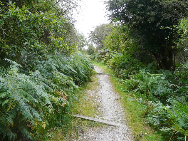
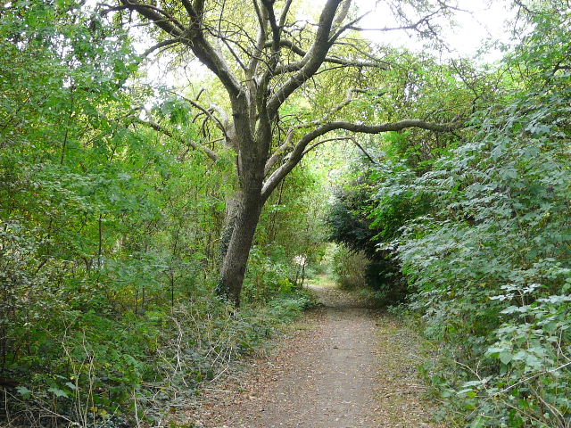
I started walking about 9.20am - it was an overcast and dull day, though the clouds were high and light, never threatening any rain. From the small car park on Northchurch Common (Grid Reference SP978102), I went about a hundred yards down a drive to where the waymarked 'Grand Union Canal Circular Walk, 'Berkhamsted-Tring' crossed it and turned left (east) towards Berkhamsted. The path through this part of Northchurch Common soon crossed the Ringshall-Northchurch road, and continued through trees and bracken on the other side. I kept right at a path fork, went straight on when the path crossed a drive (to Northchurch Farm) and continued a short distance back to the road I'd just crossed. Here I went a little way left, then turned left along a private road that soon turned right through trees. At the next junction I went straight on with a small estate of chalet bungalows on my left and paddocks on my right. The path continued between fences and hedges to pass the large grounds of a school on my right, then ran along the right edge of a very large empty pasture. I went over a stile in the corner, and followed a private drive through houses on the edge of Berkhamsted. The drive ended at a crossroads, where a footpath went half-left, downhill between garden fences. At the end of the path I continued along a street (left) and turned left at the end, to reach a road junction opposite Berkhamsted Castle.
Near the start of the walk on Northchurch Common, , heading towards the crossing of the Ringshall-Northchurch road
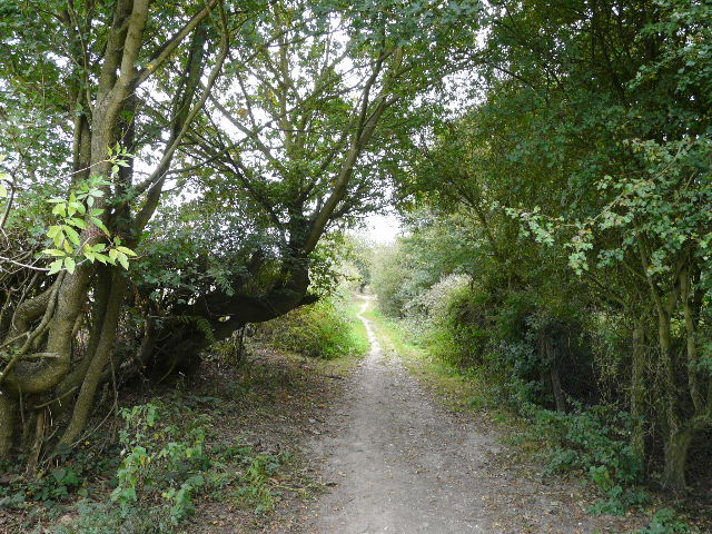
The path that passes a large school in Northchurch on the right - why do I always think of St Trinians when I walk down here?
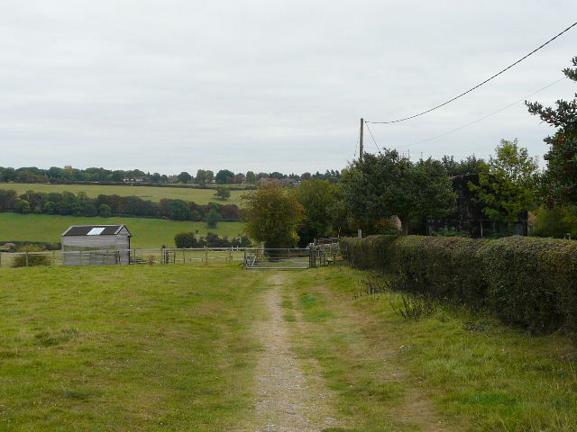
Approaching the edge of Berkhamsted
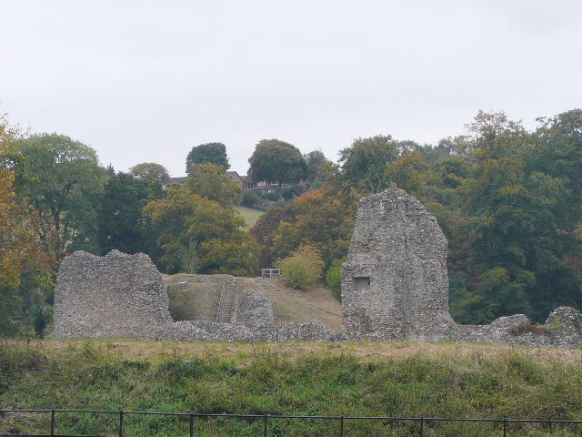
Berkhamsted Castle
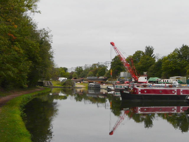
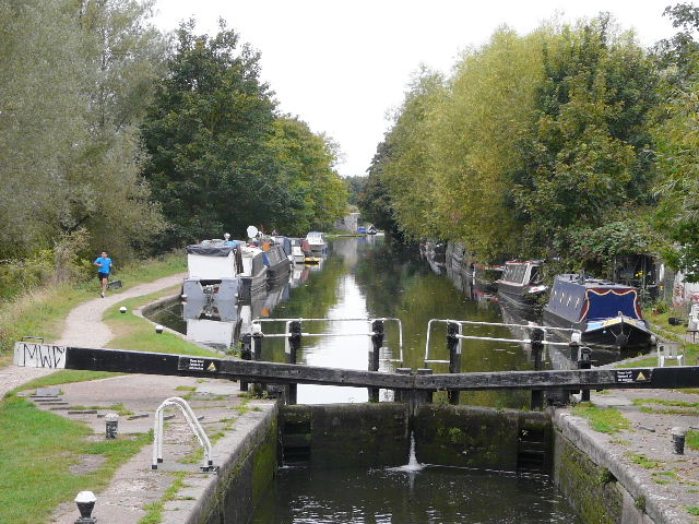
Last Monday I turned left here to do the 'Grand Union Canal Walk, Hemel Hempstead - Berkhamstead' anti-clockwise. But today I turned right and followed the road past the castle and under a railway bridge and turned right, passing the station (possibly the official route goes through the station, I don't know) and soon went down some steps to join the towpath of the Grand Union Canal. Last Monday I thought the bridge was unnumbered, but it is clearly marked '141' - the waymarks clearly indicate this is where the walk joins the canal, though the instructions I was following then said it was at Bridge 140 (definitely a mistake in the directions, as I'd later find that that bridge lies about a mile west of the station). I set off along the first of two sections I'd do along the Grand Union Canal today, heading east with the canal initially on my right. By the time I left Berkhamsted, the towpath had switched to the other bank.
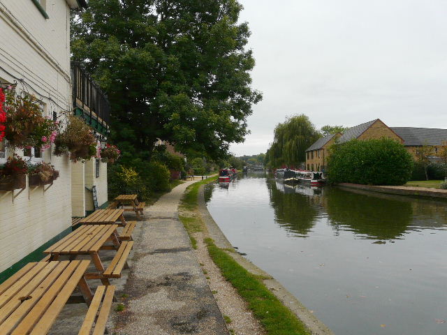
Near the start of the first (eastward) section along the Grand Union Canal, in Berkhamsted
The canal, on the outskirts of Berkhamsted
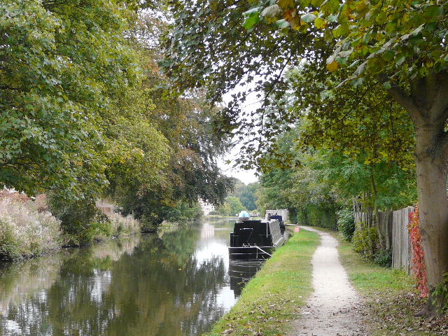
I think it took about an hour and a quarter to follow the canal from Berkhamsted, passing Bourne End and Winkwell, as far as Hemel Hempstead (near the railway station - strictly speaking I think this actually in Boxmoor). For much of the way I could see the tiny river Bulbourne on my right, and the busy railway line (the West Coast main line from Euston) was over to my left until it crossed the canal and river shortly before I reached Hemel Hempstead.
The canal, near Bourne End
The river Bulbourne at Winkwell - the river flows parallel to the canal
Boatyard on the canal at Winkwell
The canal approaching Hemel Hempstead, with the river Bulbourne on the right
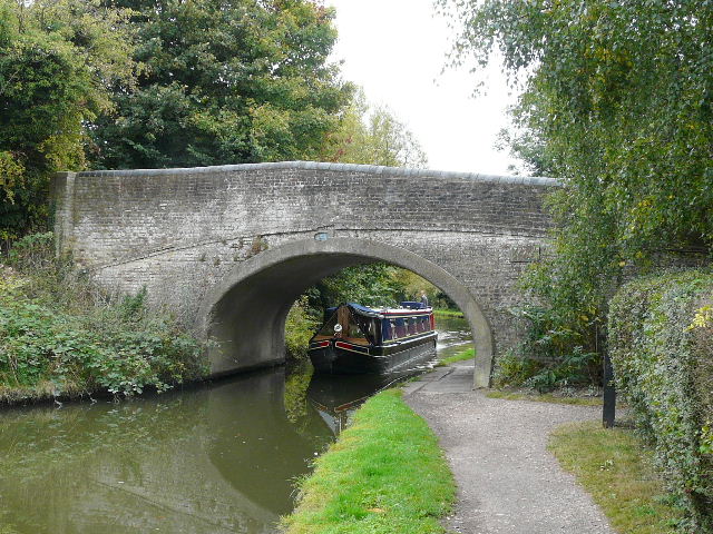
Looking back along the canal, from the bridge where I left it (near Hemel Hempstead station)
Today I discovered that I must have been having a really bad day last Monday (when I did this 'Hemel-Berkhamsted' circuit in the opposite direction). Firstly, I saw that Bridge 148 (where I wrongly rejoined the canal then) was numbered on both sides - I'd failed to see either number last week, when I wanted to check that I was actually at Bridge 149. Then, as I followed streets through Hemel, I saw that the road I'd wrongly turned down last time wasn't called Fishery Road at all, but Chaulden Lane. I can only imagine that I made this silly mistake (there was a road sign at the junction!) because this was the way the Chiltern Way went and I just assumed that was the way to go.
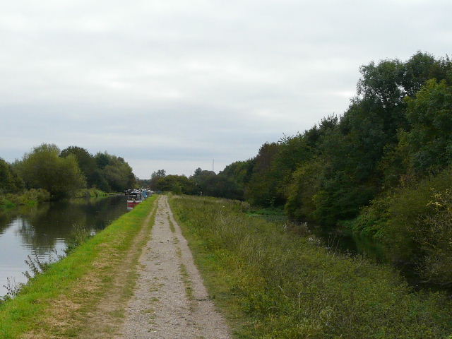
Chagrined at my own stupidity, I crossed a green area by a playing field, and started along a 'green corridor' that led the rest of the way out of the town, crossing a major residential street at one point. The path took me to Fields End Lane, which I followed for a short distance to my right, before a path on the left crossed a field near Boxted, and took me to a road heading into Potten End. It was a rather dull section of the walk past the plush residences of Potten end, until I reached the attractive green in the village centre.
The start of the green corridor that took me most of the way out of Hemel Hempstead
The green corridor in Hemel Hempstead
Field path at Boxted
The green at Potten End