Pete's Walks - Coombe Hill and Great Missenden (page 1 of 3)
If you are considering walking this route yourself, please see my disclaimer. You may also like to see these notes about the maps and GPX files.
Google map of the walkDownload GPX file of the walk
I did this 12.3 mile circular walk on Thursday, 17th December, 2009.
Like my previous walk, this was another route I'd planned some time ago but had not got round to walking before. It is really rectangular in shape rather than circular, with the rectangle tilted so that its longer sides run southeast to northwest. These longer sides run along the hills either side of the Misbourne Valley between Wendover and Great Missenden (well, I refer to it as the Misbourne Valley though the river actually only rises near Great Missenden so the part of the valley I walked around is 'dry'). Although I'd not walked this rectangular route before, less than a mile of it was new to me as the vast majority of it was on long-distance paths I'd walked before. In fact, if I'd have chosen to follow a couple of alternative sections the entire route would be on the Ridgeway, Chiltern Link, Chiltern Heritage Trail and South Bucks Way (except for the few hundred yards to and from the car park at Coombe Hill).
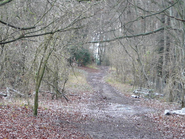
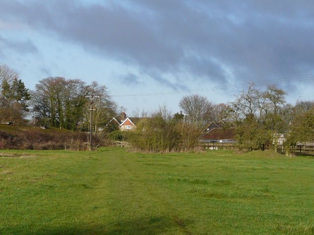
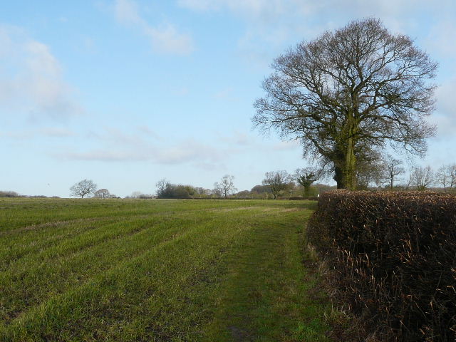
There were some brief snow flurries as I had my breakfast and as I drove (very carefully) to Coombe Hill. There was a slight dusting of snow on the ground as I made my way from the car park (about 9.35am) to the Boer War memorial monument - I took the middle path from the gate by the entrance to the car park, crossing an area of grass and bushes and passing through an area of trees before turning right along a broad section of grass to reach the monument. The usual extensive views were very much restricted by the low grey clouds. I turned right, heading slightly north of east, and took the rightmost of two parallel paths over Bacombe Hill towards Wendover. The other path, the route of the Ridgeway, is more scenic and varied, with glorious views on a clear day over Wendover and the Vale of Aylesbury, but I wouldn't be missing much in the way of views in this morning's conditions. The reason I took the more southerly path was because I could turn off it halfway down the hill and take a path I'd not walked before into the southern edge of Wendover (where I'd rejoin the Ridgeway). Also it was a slightly shorter route, and I wanted to ensure I got home before the heavy snow that was predicted for late afternoon. It's a very pleasant woodland walk anyway. So from the monument, I turned right and followed a surfaced path. When this turned right, I went straight on, with a wood on my right. I went through a metal kissing-gate in a corner, went a few steps right to reach a wide bridleway, and turned left along it.
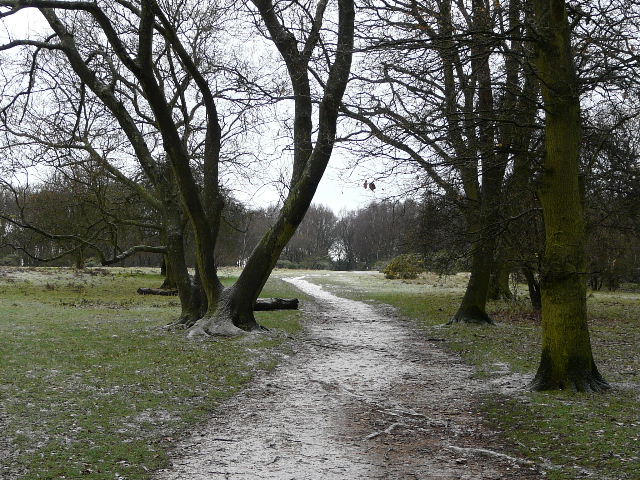
Start of the walk, the path from the car park on Coombe Hill (showing just a slight dusting of snow)
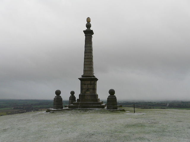
The monument on Coombe Hill, with most of the usual view of the Vale of Aylesbury obscured by low cloud
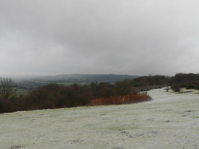
From the monument, looking along the Ridgeway towards Wendover Woods (the path I took is out of shot, just to the right)
The bridleway down Bacombe Hill
The bridleway down Bacombe Hill
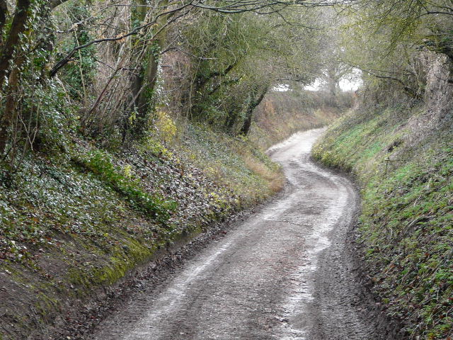
I followed the bridleway down Bacombe Hill. After about three-quarters of a mile, a footpath went half-right, descending across a paddock to reach a lane or private drive (Bacombe Lane) - ahead of me I could see a side valley called the Hale, almost surrounded by Wendover Woods and Barn Wood (I'd walk through the latter shortly). I followed the lane or drive north-eastwards (left) and fairly soon crossed a bridge over the A413 and a railway line, the Misbourne Valley being an important transport route as it's one of the few breaches in the long line of the Chiltern escarpment. At the end of the lane I went right for a few yards along a road, then turned left down Chapel Lane. I turned right onto a path, with a recreation ground or park over the hedge on my right, and soon came to a path junction where I joined part of the Ridgeway (here also the route of the Chiltern Link). I passed a large duck pond on my right and at the end of the path I turned left along a lane, passing St Mary's Church on my right (I'd heard the bells ringing for sometime and would continue to do so for another mile or so). When the lane turned right at a 'crossroads' of sorts, I continued ahead along Hogtrough Lane.
The path from Bacombe Hill, looking across to the valley of The Hale (Barn Wood on the right)
The lane into Wendover
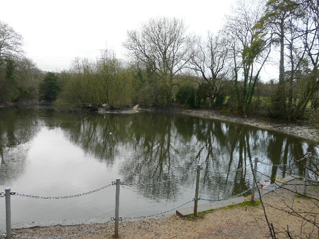
Large duck pond in Wendover
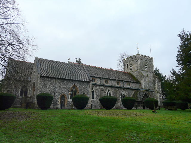
St Mary's church, Wendover
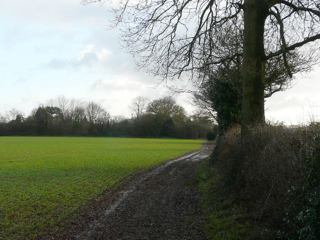
Hogtrough Lane is a very familiar route to me - as well as walking it on the Chiltern Link and on my Berks-Essex Walk, it is part of Walk 5 of my Chiltern Chain Walk which I have done several times now. It leads very gently uphill between fences or hedgerows, until after about three-quarters of a mile it reaches Barn Wood, where the ground rises more steeply. At this point, the Ridgeway bears left, but I continued ahead following the Chiltern Link uphill through the trees (there are two paths going more or less straight on, I took the leftmost one, NOT the bridleway that is in a sort of gully a yard or two to the right). I emerged from the wood at the top of the hill, passing Concord House (where a sign said I was 750 feet above sea level), then went over a stile and turned left on a footpath, continuing round two sides of a very large pasture beside another section of Barn Wood (on my left). Shortly before reaching a field corner, the path goes over a stile and continues beside a right-hand hedge through a meadow, before passing through part of a garden to reach the hamlet of Kingsash.
Hogtrough Lane
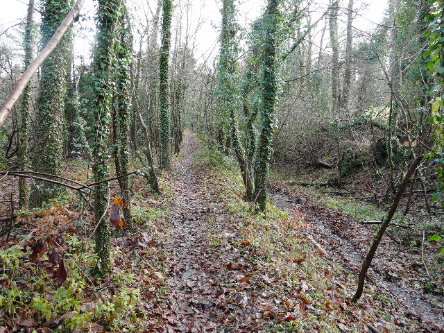
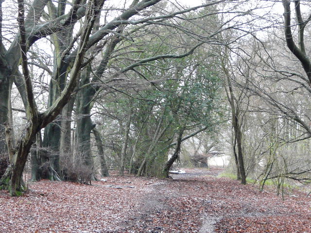
The start of the path through Barn Wood (note the bridleway in the gulley on the right)
Looking back along the path from Barn Wood to Kingsash
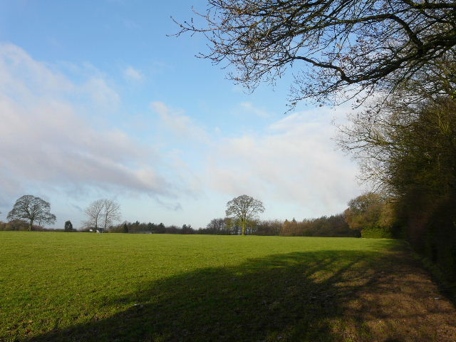
Across a minor road, a footpath starts along a drive then goes through two gates on the right and across a paddock. It then follows hedgerows for about a mile. This field path from Kingsash to The Lee is very pleasant - I have walked it a couple of times already this year (in the opposite direction) as part of a circular walk from Buckland Common. It largely follows hedgerows, with the ground over to the right suddenly dipping down into the Misbourne Valley. The grey skies at the start of the walk had now largely disappeared, and I had to put my sunglasses on for a while as I was walking directly towards the sun, which at this time of year is, of course, very low in the sky.
Looking back to Kingsash
Looking back along the path from Kingsash to The Lee
The path from Kingsash to The Lee