Pete's Walks - Walk from Maidensgrove (page 1 of 3)
If you are considering walking this route yourself, please see my disclaimer. You may also like to see these notes about the maps and GPX files.
Google map of the walkDownload GPX file of the walk
I did this 13 mile circular walk on Saturday, 13th February 2010 (Note: there is now a description of this route with many more photographs, taken on a nice summer's day when I repeated this walk in July 2020).
This was my first walk in about two and a half weeks, and my first walk since I returned to full-time employment (!!!) on 1st February. I wanted to do something a bit different rather than walk one of my usual routes, and also wanted to travel a little further afield than I have generally been doing this last year or so. The first two-thirds of this route followed a walk I did about two and a half years ago, when I was doing exploratory walks for my Chiltern Chain Walk - this section didn't get included in the final route and so has not been described on these pages before. The rest of the route follows a bit of the Chiltern Way and a section of the Oxfordshire Way that I did include in my Chiltern Chain Walk.
I parked my car near the Maidensgrove end of the huge common at Maidensgrove, close to a bend. The Chiltern Way Guide Book refers to this end of the common as Maidensgrove Common, though that name does not appear on the OS Map which names the entire common after the village of Russell's Water which is about a mile away at the western end of the common. A Red Kite flew low overhead as I picked up my rucksack and set off about 10.20am. A few very small flakes of snow fell as I made my way to the bend in the lane where I turned left along the edge of the smaller section of the common, to reach a lane in Maidensgrove. I followed this lane to my right and then, just before reaching the end of the lane at Lodge Farm, turned right onto a bridleway just inside the edge of the Warburg Nature Reserve. The bridleway was on a good track, the bit of the nature reserve that was on my left soon petering out until there was just a hedge there. After about a third of a mile I kept right at a fork, the bridleway now dropping gently downhill through Freedom Wood. Soon there were nice views over the nature reserve in the wooded valley to my right. Beyond the wood, the bridleway continued downhill between hedges to reach the lane that runs through the valley of Bix Bottom.
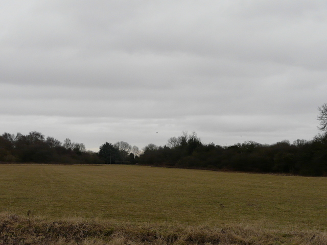
Part of the huge common at Maidensgrove.
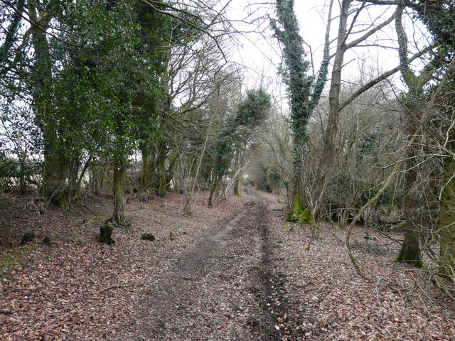
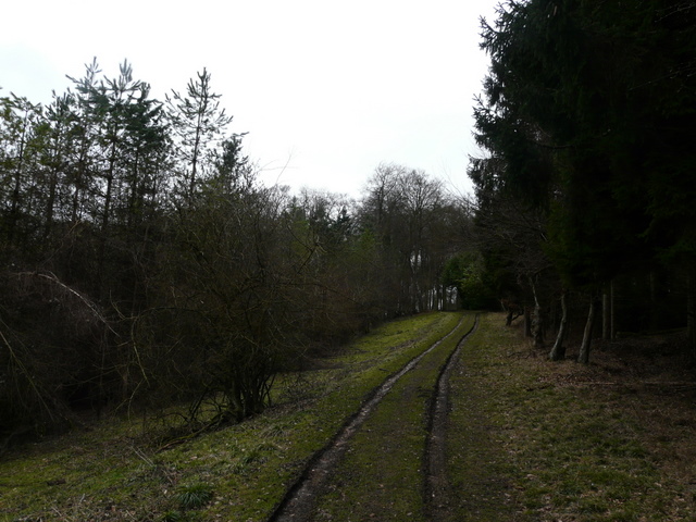
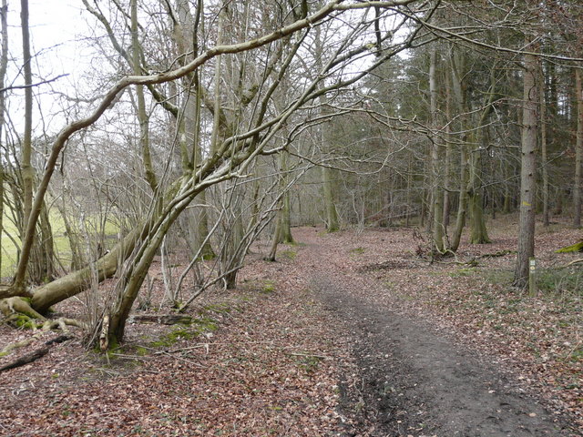
The bridleway between Maidensgrove and the valley of Bix Bottom
The bridleway between Maidensgrove and the valley of Bix Bottom
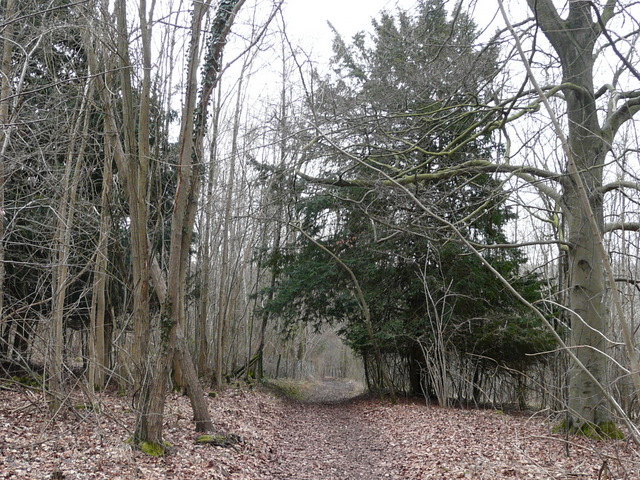
The bridlewayapproaching the valley of Bix Bottom
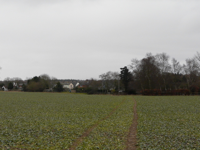
I turned left along the lane and as I passed the ruined church in Bix Bottom I rejoined the route of the Chiltern Way. I turned right at Valley End Farm (so named on the OS Map, I think the sign says Valley Farm), and then maybe a couple of hundred yards or so from the farm I turned left, onto a footpath following a fence uphill to a wood (I think it's called Coney Burrow, though I'm not sure about the first section of it). I then followed the path through the wood, this first bit of the wood being fairly narrow with the path just inside its left edge. There were occasionally views to my left along the continuation of Bix Bottom as it made its way towards Middle Assendon. The path continued through Coney Burrow, joining a farm track at one point. After a while the path went straight on where the track went right, at this point moving from an area of conifers into a typical Chiltern beech wood, Bushey Copse. As usual, white arrows painted on trees every so often guided the way, then the path left the wood and crossed an arable field to reach the A4130 main road in the village of Bix.
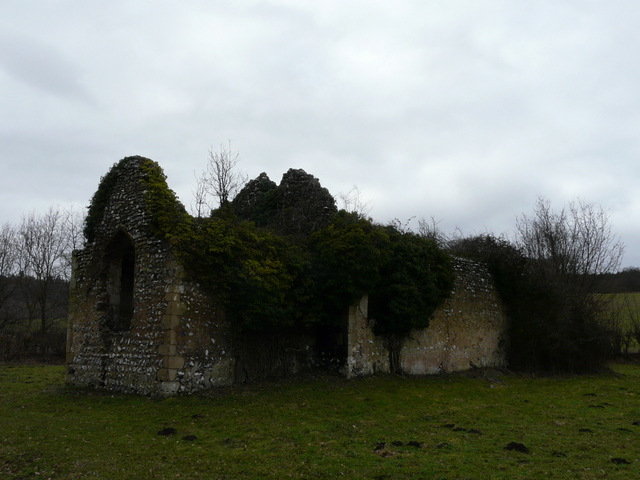
The ruined church in Bix Bottom
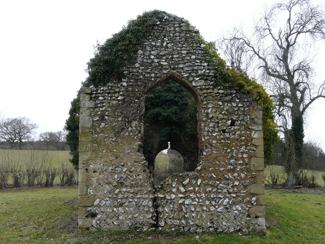
The ruined church in Bix Bottom
The path from Valley End Farm, Bix Bottom
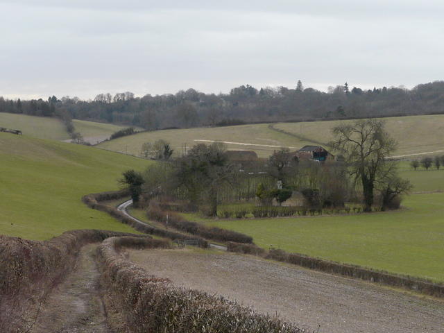
Looking back over Valley End Farm and Bix Bottom
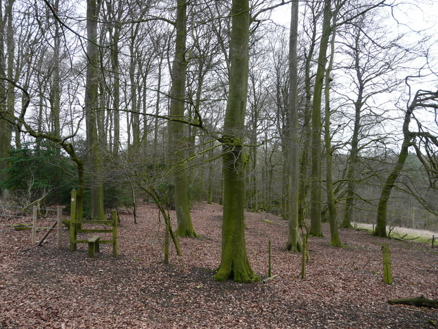
Path through Bushy Copse
Approaching Bix
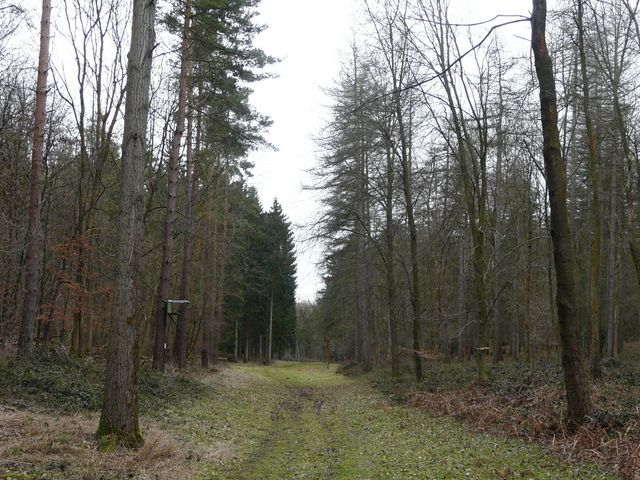
Across the road, I went down what looked like a lane but which a fingerpost indicated was actually a 'Restricted Byway'. After a couple of hundred yards or so, I turned left at a gateway onto a footpath through a wood named Hatch Copse. After a while I passed some farm buildings on my left, and soon after the path descended into a valley, continuing along a strip of grass in the valley bottom. I was now in Earl's Wood. I went straight on at a path crossroads and straight on again where paths went left and then right. Eventually I approached what appeared at first to be a T-junction, but as I got there I saw the path went half-right here as it crossed a bridleway. I was now in a wood called Tartary, quite close to a field on the left. After another three or four hundred yards I took a path going uphill on the left, soon leaving the wood and running between tall garden boundaries, that took me to Rocky Lane.
The path through Hatch Copse
The path through Earl's Wood
The path through Tartary
I went a short way left along the lane and then took a path on the right. This ran between wire fences, leading down and up either side of another valley - there was a large orchard to the left at one point, rather unusual in the Chilterns I thought (though some parts were known for their Cherry Orchards at one time, I believe). The path led to a track or drive, where I went a short distance right to reach the attractive hamlet of Shepherd's Green.
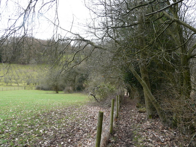
The path between Rocky Lane and Shepherd's Green
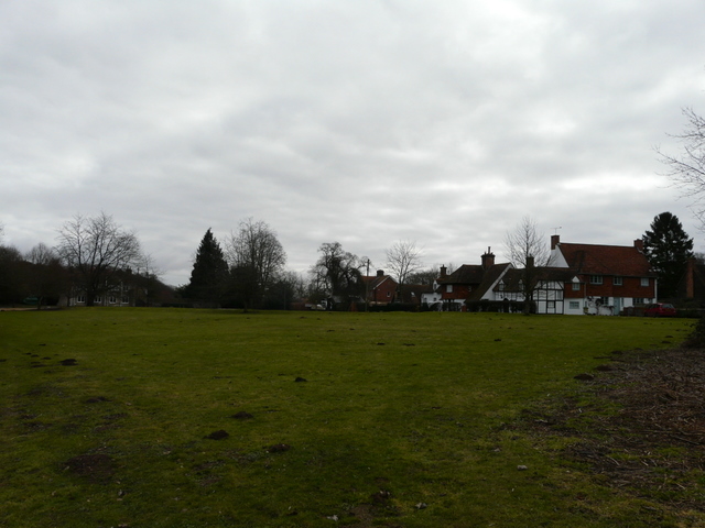
Shepherd's Green