Pete's Walks - Walk from Maidensgrove (page 1 of 6)
If you are considering walking this route yourself, please see my disclaimer. You may also like to see these notes about the maps and GPX files.
Google map of the walk Download GPX file of the walk
I did this circular walk of about 13 miles on Friday, 10th July 2020. It was a repeat of a walk I did in February 2010 (which was a slight variation of a walk I originally did in September 2009). I don't think I've repeated this route since then, though I have walked all the paths on it on many other walks. This was my first non-local walk since the start of the 'lockdown' necessitated by the Covid-19 coronavirus pandemic.
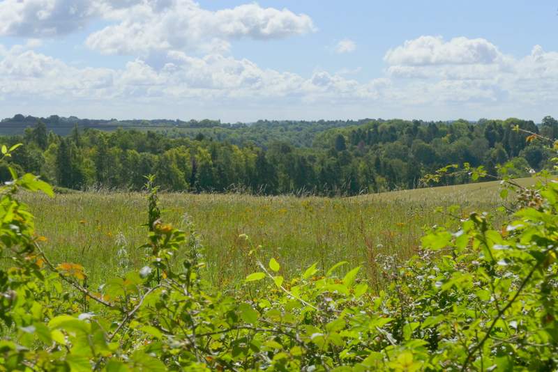
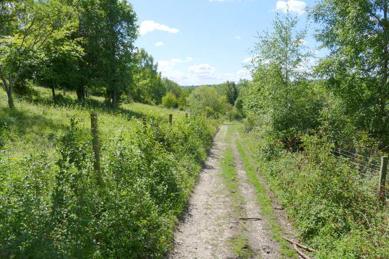
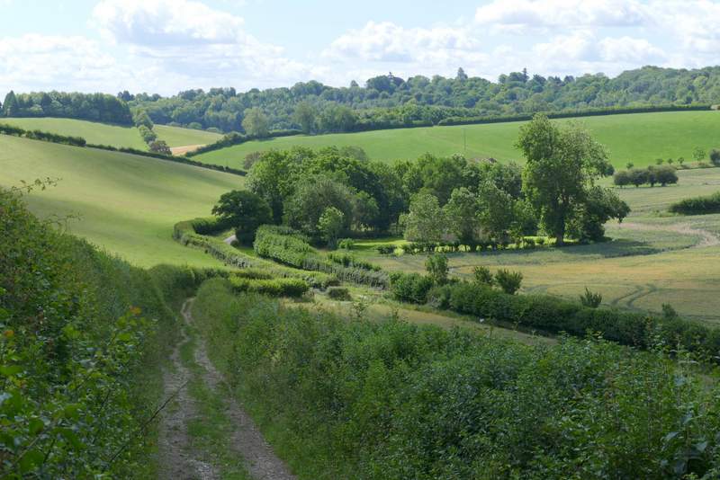
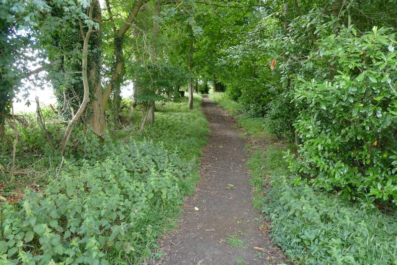
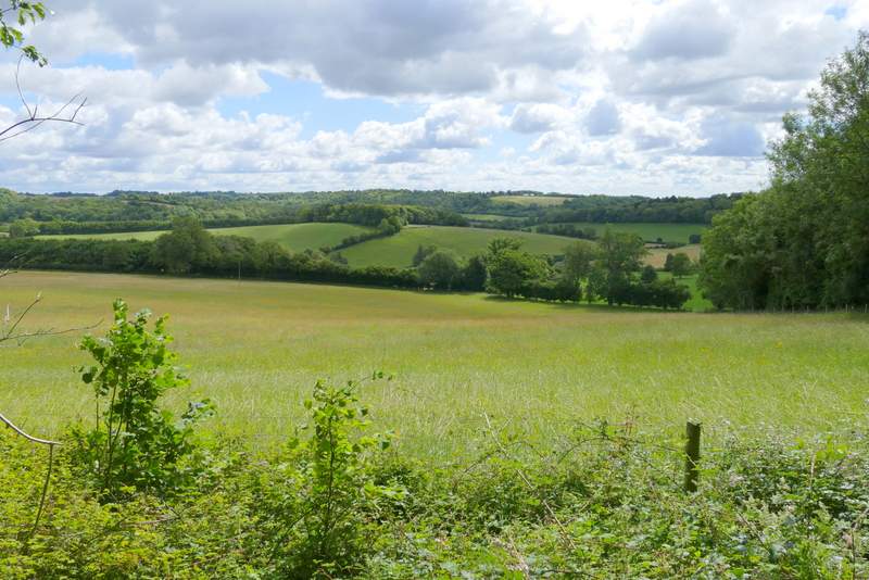
I parked on the lane that crosses Maidensgrove Common (grid reference SU 717886), just outside Maidensgrove itself and started walking about 10.20am. I followed the lane away from Maidensgrove to where it turned right along the edge of the common (towards the Five Horseshoes pub and Russell's Water), then turned left along the edge of the common. The Chiltern Way Guide Book refers to this end of the common as Maidensgrove Common, though that name does not appear on the OS Map which names the entire common after the village of Russell's Water which is about a mile away at the western end of the common. At the end of the common I went straight on down a track to reach a lane in Maidensgrove, where I turned right. Just before reaching the end of the lane at Lodge Farm, I turned right onto a bridleway just inside the edge of the Warburg Nature Reserve. The bit of the nature reserve that was on my left soon petering out until there was just a hedge there. After about a third of a mile I kept right at a fork, the bridleway now dropping gently downhill through Freedom Wood. Soon there were nice views over the nature reserve in the wooded valley to my right. Beyond the wood, the bridleway continued downhill between hedges to reach the lane that runs through the valley of Bix Bottom.
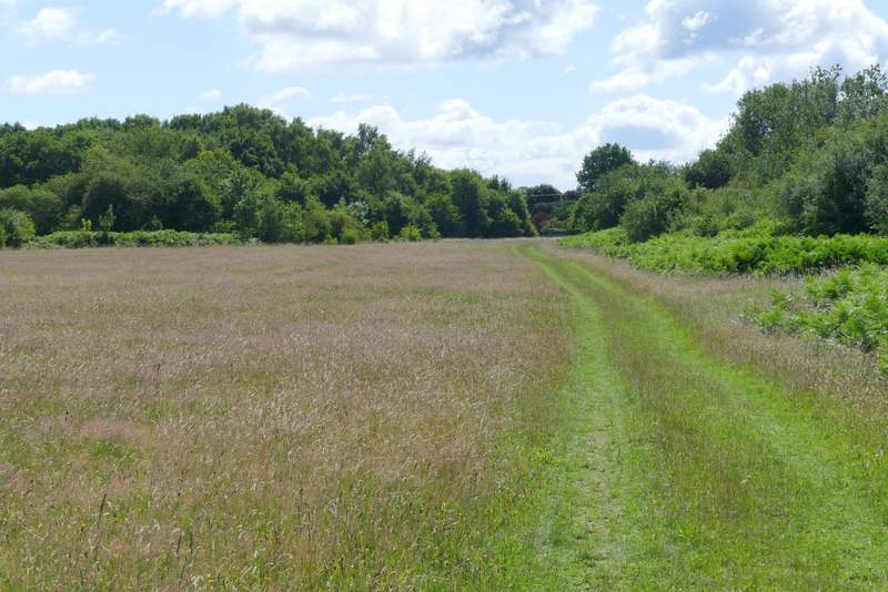
The path along the edge of Maidensgrove Common
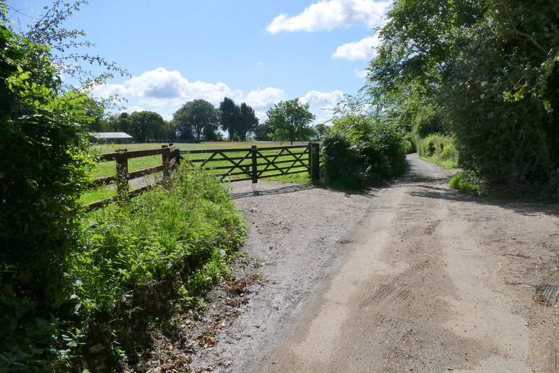
The lane through Maidensgrove
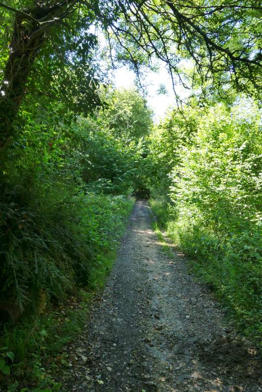
The start of the bridleway from Maidensgrove to Bix Bottom
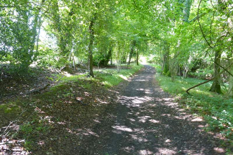
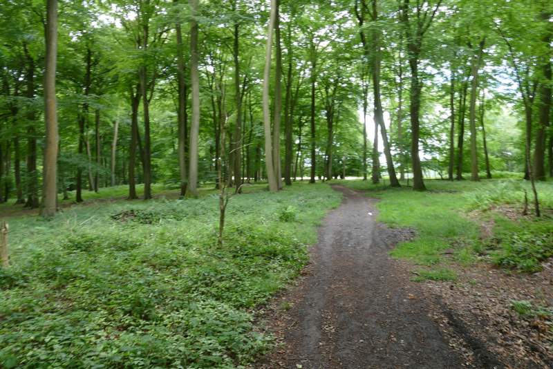
The bridleway from Maidensgrove to Bix Bottom
A view (left) from the bridleway from Maidensgrove to Bix Bottom
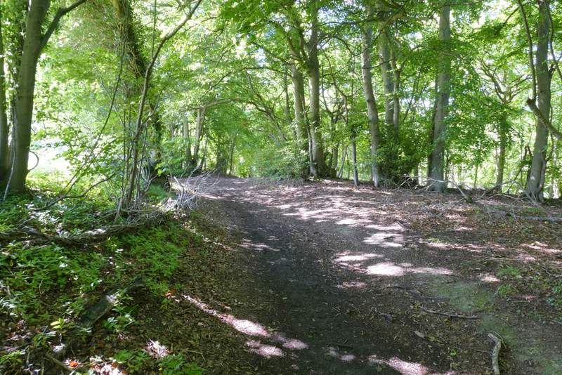
The bridleway from Maidensgrove to Bix Bottom (just before I went right at a fork)
The bridleway from Maidensgrove to Bix Bottom
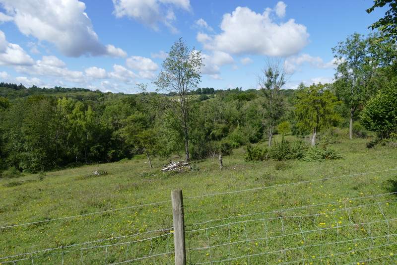
A view (right) from the bridleway from Maidensgrove to Bix Bottom, over the Warburg Nature Reserve
Nearing the end of the bridleway from Maidensgrove to Bix Bottom
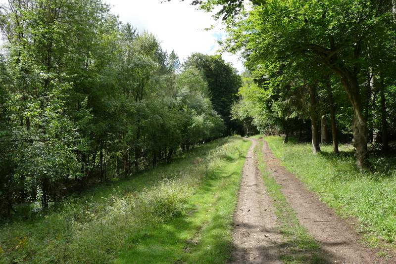
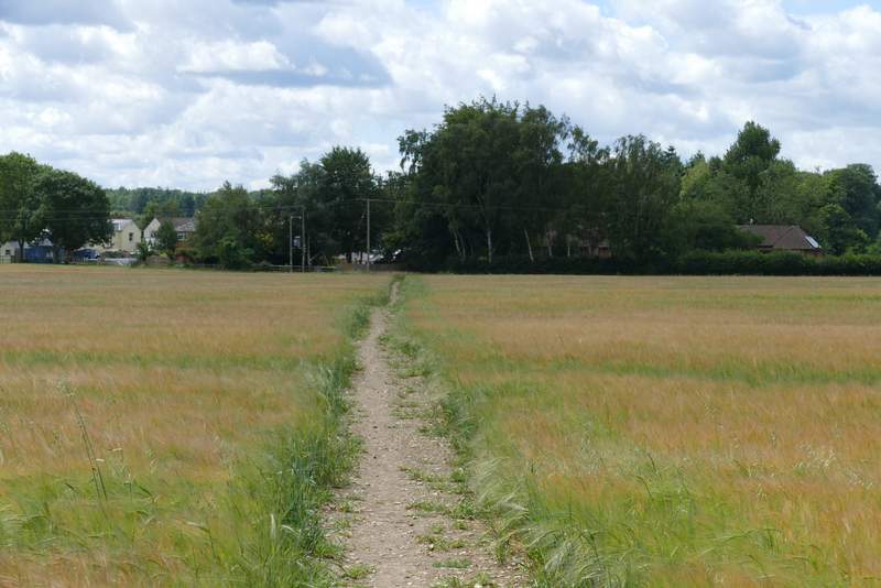
I turned left along the lane, where I saw a large number of yellow spikes of Dark Mullein (I've seen it here before, but never in such profusion). I paused to take a photo of the ruined church in Bix Bottom - there was more Dark Mullein growing in the grass around the church, which I was pleased to see people had carefully mowed around. I turned right at Valley End Farm (so named on the OS Map, I think the sign says Valley Farm), and then maybe a couple of hundred yards or so from the farm I turned left, onto a footpath following a fence (on my left) uphill to a wood (I think it's called Coney Burrow, though I'm not sure about the first section of it). I then followed the path through the wood, this first bit of the wood being fairly narrow with the path just inside its left edge. There were occasionally views to my left along the continuation of Bix Bottom as it made its way towards Middle Assendon. The path continued through Coney Burrow, joining a track at one point. After a while the path went straight on where the track went right, at this point moving from an area of conifers into a typical Chiltern beech wood, Bushey Copse. As usual, white arrows painted on trees every so often guided the way, then the path left the wood and crossed an arable field to reach the A4130 main road in the village of Bix.
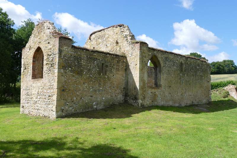
The remains of the church of St James at Bix Bottom
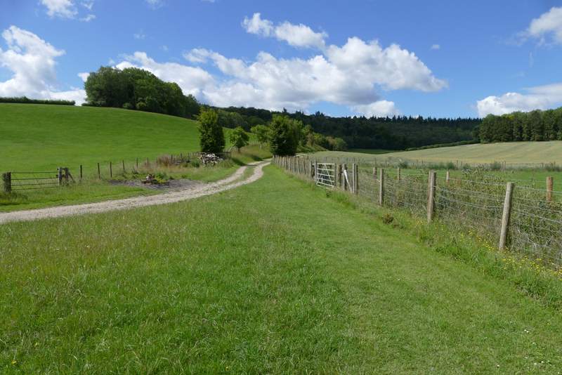
The path from Valley End Farm (the next photo was taken from the trees top left in this photo)
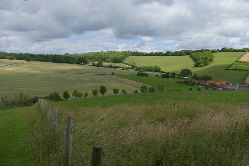
View back over Bix Bottom from where the path enters Coney Burrow
The path through Coney Burrow
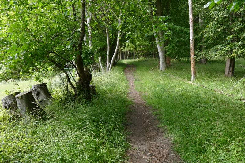
The path through Coney Burrow
View left from the path through Coney Burrow
The path through Coney Burrow
The path continuing through Bushy Copse
The path approaching Bix