Pete's Walks - Caddington 'figure-of-eight' walk (page 2 of 2)
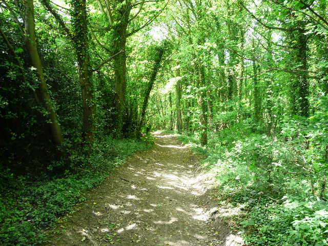
The skies brightened up now, as I followed the bridleway very gently uphill - amongst other flowers I spotted much Yellow Archangel along here. I then turned left and followed a path through the adjoining Bush, Round and Badgerdell Woods. Shortly after I entered the woods, I spotted a fox - I'd seen one as I was driving out of Kensworth a week ago, but I think this was the first time I'd seen one on one of my walks since the end of June last year (see my Barton-Lilley Walk, 24/06/09). The path turned right along the far side of Badgerdell wood, and then crossed a large arable field before following hedgerows to enter Caddington beside the church.
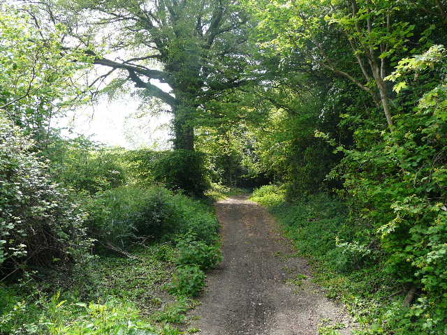
The bridleway heading towards Caddington
Path heading to Round Wood
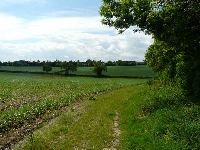
View towards Caddington from beside Badgerdell Wood
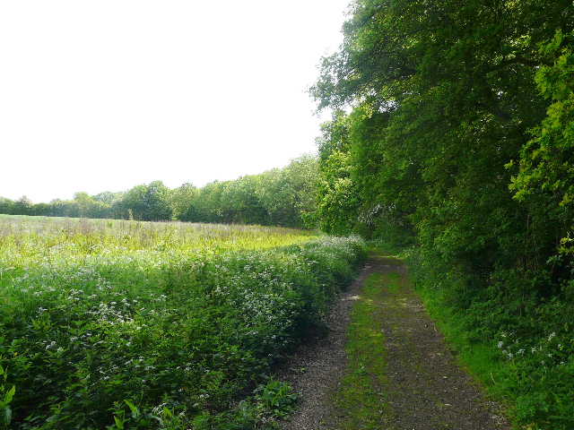
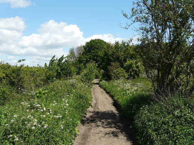
The path back to Caddington
Having completed one circular route, in about two hours and ten minutes, I continued on through the village, passing a couple of schools. I crossed another arable field, the path continuing beside a hedgerow where I spotted my first butterflies of the day, an Orange-tip and my first Small Copper of the year. The path led to Woodside, where I crossed the road beside The Harrow pub, and continued on to Slip End.
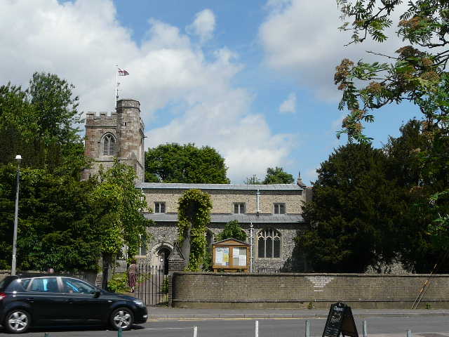
Caddington church
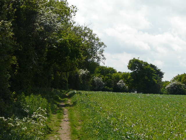
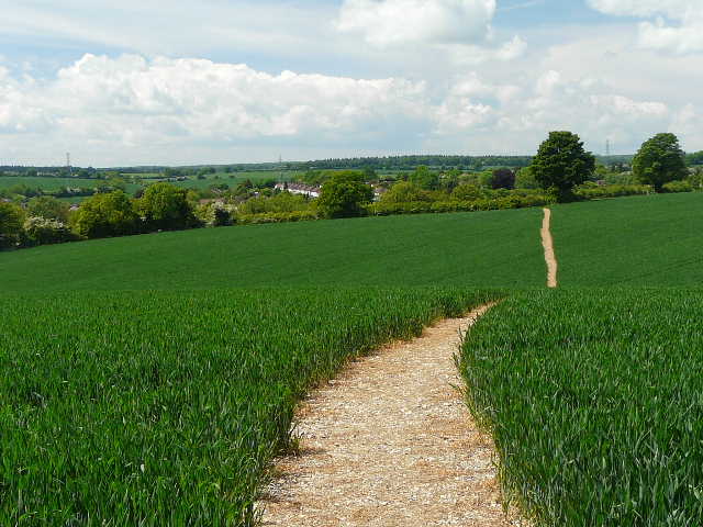
The path from Caddington to Woodside
Path between Woodside and Slip End
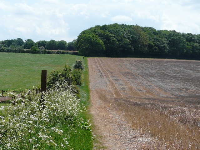
Across another road (the road I take from Markyate to Luton), another path led on past a huge field of stubble and then on beside a wood with more stubble on my left to reach Half Moon Lane (named after the pub in Pepperstock a short distance to my left). I turned right (immediately passing a fireworks factory), and followed the unsurfaced track downhill beside a large wood on my left - someone had done a good job of clearing up after the fly tippers who had spoilt this area the last time I was here. Further on I passed a wood on my left, from whence came the usual sound of shooting (it's used for paintballing).
The path from Slip End to Half Moon Lane
Half Moon Lane
Looking back along Half Moon Lane
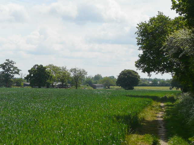
At the end of Half Moon Lane, there was a short lane walk, then a path went half-right through a field of green corn, with Markyate down in the Ver valley on my left. I continued through a meadow and then followed a headland between fields to return to the road I'd crossed earlier in Slip End. I followed it for maybe quarter of a mile to the right, then took a path going half-left across a huge meadow full of tall buttercups - perhaps meadow is the wrong word, as there were also a good number of ponies grazing here. The path then continued through some small meadows to reach Aley Green, next to the Baptist Chapel.
Path near Markyate
Meadow near Markyate
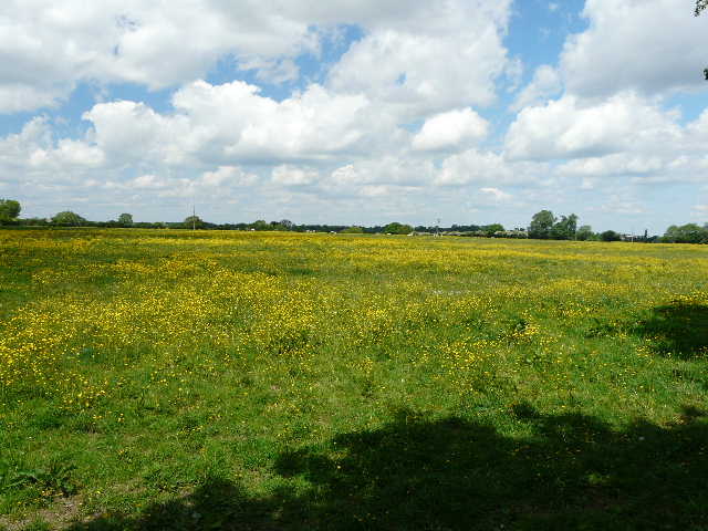
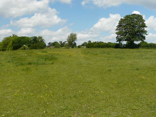
Huge buttercup-filled meadow between Markyate and Aley green
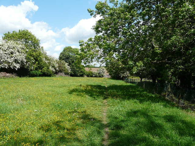
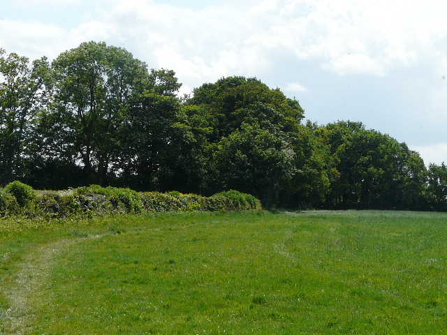
Small meadow on the edge of Aley Green
I followed the road left through Aley Green for about a quarter of a mile, then took a path on the right. This led uphill through a field of stubble, to emerge on a road in Caddington opposite a sports field. I followed a footpath round the edge of the sports field, before turning left retrace my steps back past the schools into the centre of Caddington.
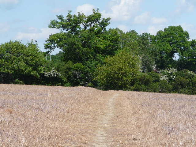
Path between Aley Green and Caddington
The walk took just over four hours, about thirty minutes less than the first time I did it. This difference is easily explained by the fact that I didn't have to do any navigating this time as I could remember the route, plus I took considerably fewer photos. After the disappointingly grey start to the day, it had brightened up into a nice afternoon and I'd enjoyed the walk. The one problem with this route is that there is no convenient spot to sit and eat lunch, so I ended up taking my packed lunch home with me to eat.