Pete's Walks - Circular walk from Ewelme (page 2 of 4)
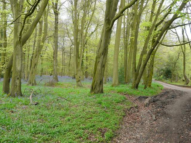
For a while, there were nice views south-westwards from the public byway, all the way across the Thames to the Berkshire Downs. The byway then entered Mongewell Woods, continuing to rise gradually uphill and slowly turning from east to southeast. Despite going uphill, this was a very pleasant section of the route, with many fresh new leaves on the trees and a few wildflowers and butterflies adding to the interest. After about half a mile, the byway left the woods and soon passed Upper House Farm. For the next half mile the byway was more or less a lane, running between hedges with fields either side.
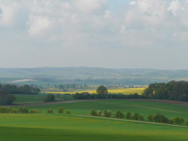
Looking south over the Thames Valley towards the Berkshire Downs, from the public byway
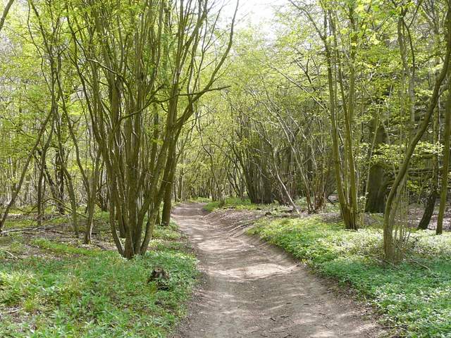
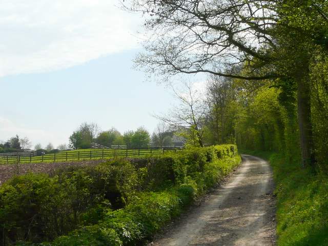
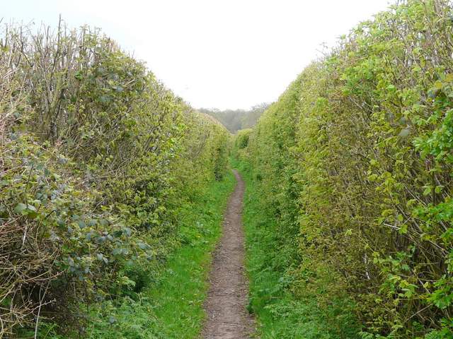
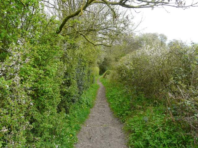
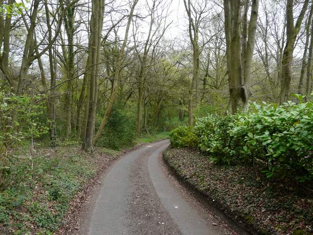
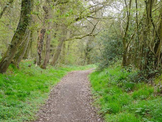
The public byway running through Mongewell Woods
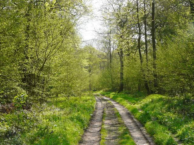
The public byway running through Mongewell Woods
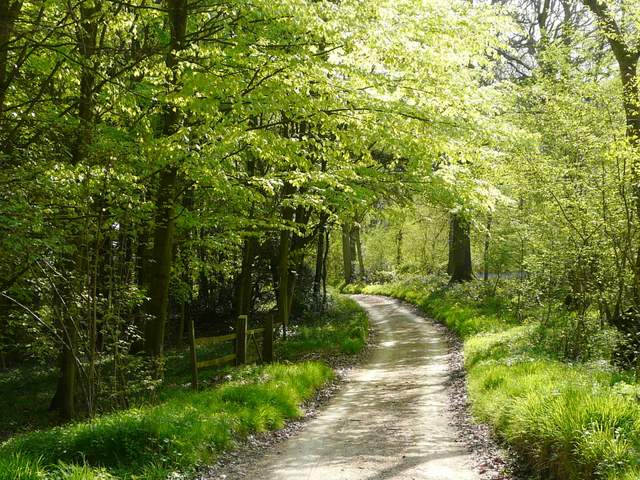
The public byway running through Mongewell Woods
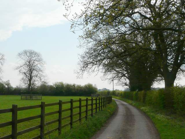
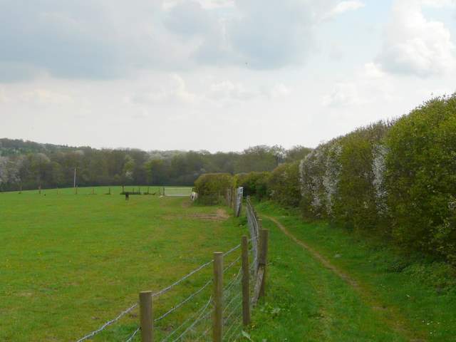
The public byway approaching Upper House Farm
Just beyond Upper House Farm
The public byway shortly before reaching the minor road
Across a minor road, the byway continued - a sign named this section as Whitcalls Lane. Again there were hedges and fields either side, and then after about half a mile I passed the imposing (but modern) Oakingham House on my right. The byway then continued as a much narrower path, initially between a fence and a hedge and then between two tall hedges that completely blocked any views. The path then entered a wood, with a few houses in it, and descended into a small valley (Oakingham Bottom).
The start of Whitcalls Lane
The public byway continuing just after Oakingham House
The public byway continuing after Oakingham House
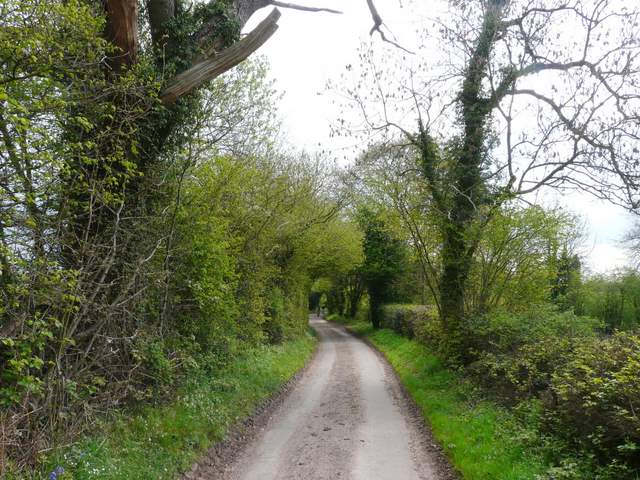
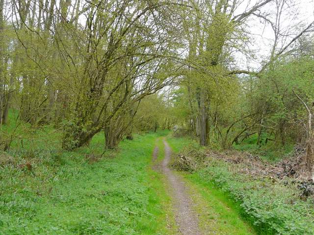
The public byway approaching the wood at Oakingham Bottom
The public byway in the wood at Oakingham Bottom
The public byway in the wood at Oakingham Bottom
Here I finally reached the end of the public byway as it ended at a junction in the valley bottom - a lane went right, along the valley of Newnham Bottom, but I turned left, almost doubling back on myself. I was now on a second public byway, this one called English Lane. This went north and then northwest, initially with the same wood on my left and fields on the slope to my right.
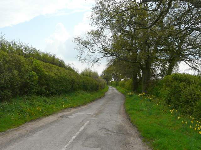
Start of the second public byway, English Lane, heading back north-west
The second public byway, English Lane, heading back north-west