Pete's Walks - Circular walk from Ewelme (page 1 of 4)
If you are considering walking this route yourself, please see my disclaimer. You may also like to see these notes about the maps and GPX files.
Google map of the walkDownload GPX file of the walk
I did this 15.3 mile circular walk on Saturday, 16th April 2011. The title of the walk isn't very descriptive, but I can't think of anything better as the route didn't really pass through any other villages or hamlets (Nuffield was the one I came nearest to). The first few miles of this walk were on the route of the Chiltern Way, but most of the route thereafter was new to me. I had devised the route simply by linking together sections of path I'd not walked before, in particular a long public byway running east and then south-east from Woodhouse Farm (in the parish of Crowmarsh, I think). I'd tried to devise such a route in this area several times before without any success, but somehow the night before I worked out this route within a few minutes of picking the map up.
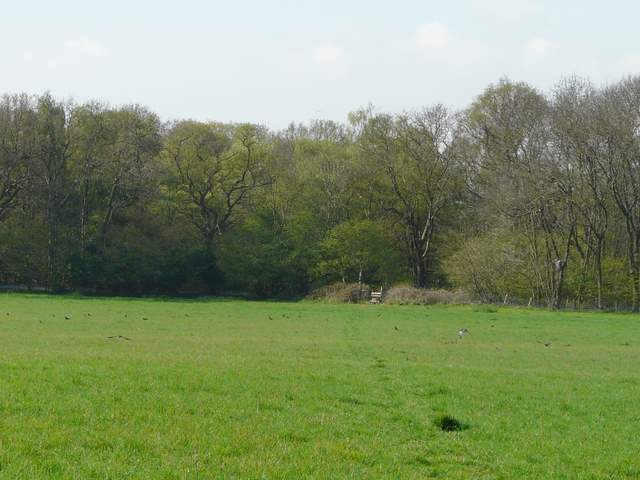
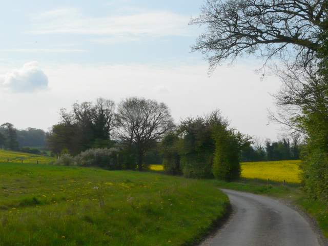
I don't think I've walked in this area since I did my Chiltern Chain Walk over three years ago (though I once went even further west to Goring) - the way petrol prices are going, it may be another three years until I come back! It took about an hour and 10 minutes to drive from Kensworth to Ewelme, and I set off from the small car park by the cricket pitch (at a lane junction at the southeast of the village, grid reference SU 648912) about 9.40 (I'd got up and set off half an hour earlier than usual). I followed the Chiltern Way route along the edge of the cricket ground and then along the edge of a pasture (Cow Common) that stretched a long way to my left. On reaching a road, I went a few yards left to where a bridleway started. This ran southeast beside a landfill site on my right (I spotted a Bullfinch here, and also my first Red Kite of the day). Across a lane (I had to go a few yards right), I continued south-eastwards along a hedge-lined track called Potters Lane for about half a mile, to reach a path junction by some farm buildings This is where the southern extension of the Chiltern Way rejoins the main route, and I turned right along the route of the extension to reach Potter's Farm (the map shows the name of the lane without an apostrophe, the farm with one).
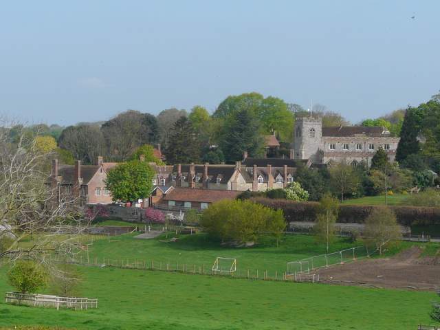
Looking back to Ewelme
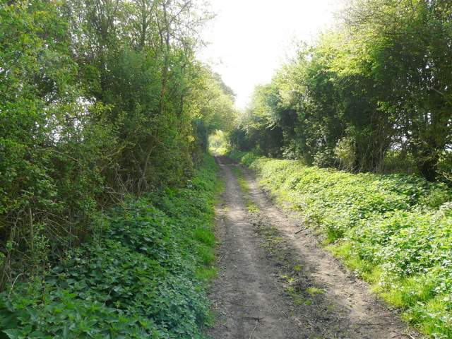
Potters Lane
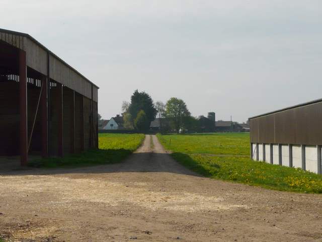
Farm buildings and the track to Potter's Farm
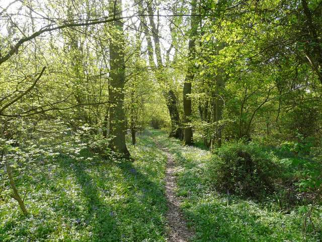
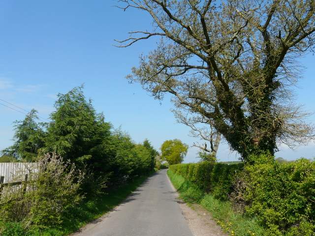
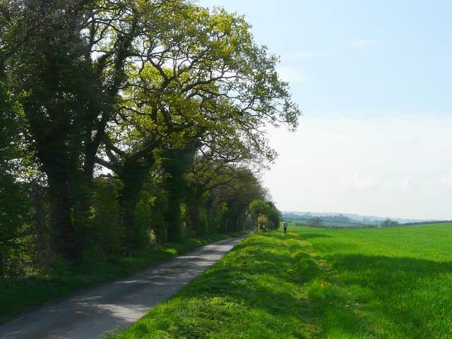
Beyond the farm I turned right at a track junction and followed a wide gravel track to a road. A path on the other side ran for some distance between fences beside a Scrap Merchant's yard on the left, then crossed a pasture to reach Oakley Wood. I saw my first Bluebells of the day here, though they were not as impressive as in other woods I'd come to later. On the far side of the wood I crossed the A4130 main road, then a fenced path continued for several hundred yards between fields and a wood on my right to reach a lane. Here I turned right, then after about a third of a mile turned left along another lane. This is marked 'Icknield Way' in gothic type on the map, I think that means the lane follows the route of that ancient trackway rather than being the name of the lane (which I'd mistakenly thought was the case before). Anyway, I followed the lane south for about a mile (it's also on the route of Swan's Way), before turning left along the drive to Woodhouse Farm.
Looking back from the drive from Potter's Farm
Approaching Oakley Wood
Oakley Wood
The path beyond the A4130
Near the start of the lane walk
The lane along the Icknield Way, after I turned left at a junction
The lane along the Icknield Way, shortly before turning left onto the drive to Woodhouse Farm
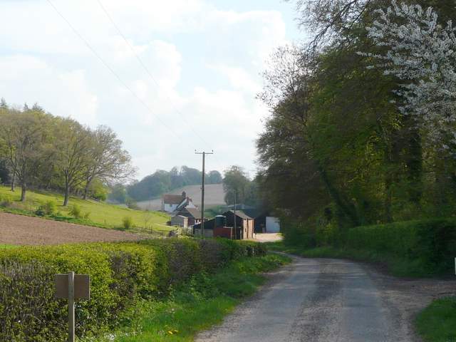
Approaching Woodhouse Farm
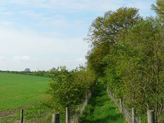
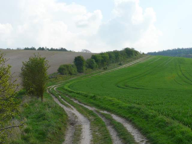
The southern extension of the Chiltern Way turns right at Woodhouse Farm (to head to Hailey), but I now entered new territory by going straight on along a public byway (which I'd follow for about three miles). I'd seen this long byway on my map years ago and have long planned on walking it sometime - for the first mile or so it runs east roughly parallel to the ancient Grim's Ditch (part of the Ridgeway national trail) across the fields on my left. It starts off by curving right, round the edge of part of Wicks Wood, then turning left and following a long hedgeline gradually uphill towards Mongewell Woods.
The public byway, just beyond Woodhouse Farm
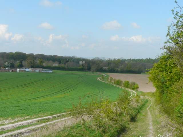
The public byway heading east from Woodhouse Farm
Looking back along the public byway
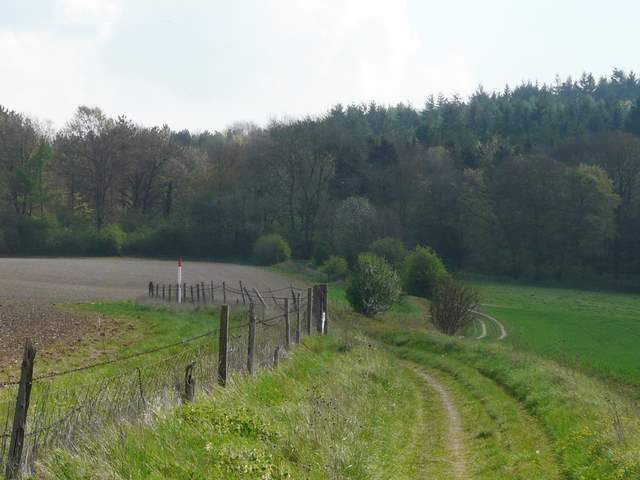
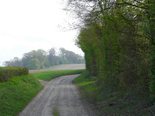
The public byway approaching Mongewell Woods