Pete's Walks - Pitstone Hill and Hastoe (page 3 of 4)
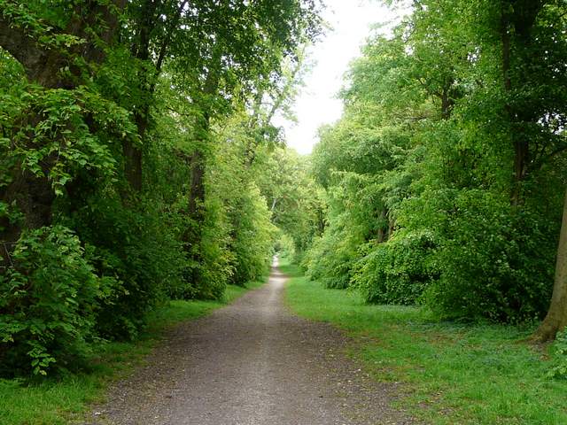
Across the lane I continued straight on (another path goes half-left) through a section of Shrubb's Wood, then crossed another corn field to reach Browns Lane. Here I left the Chiltern Way and turned right along the hedge-lined 'lane', which was really just a track. I passed a few cottages and then reached a lane junction in the small settlement of Hastoe (the highest place in Hertfordshire, I believe). I turned right into Church Lane (rejoining the Ridgeway National Trail, which I would be following for the rest of the walk), which I followed for about half a mile to its end, then turned left at a road junction. After a couple of hundred yards I turned right on a path into Tring Park.
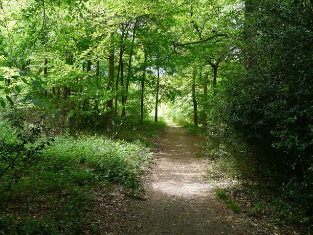
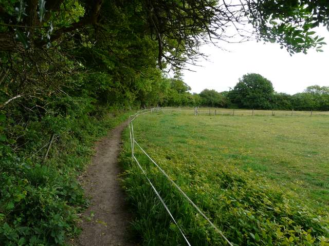
Across a lane, the path continues through Shrubb's Wood
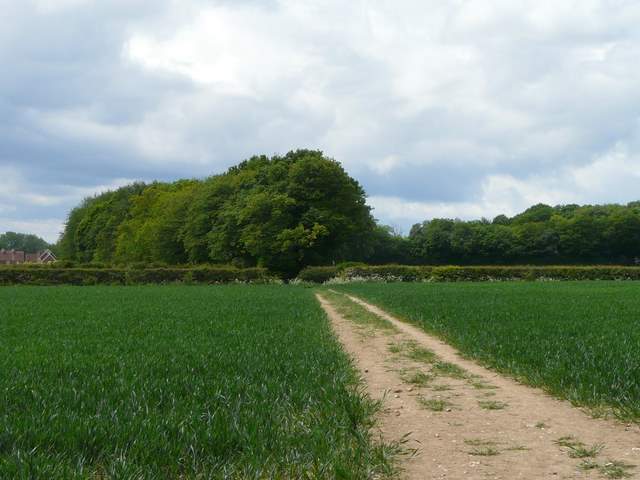
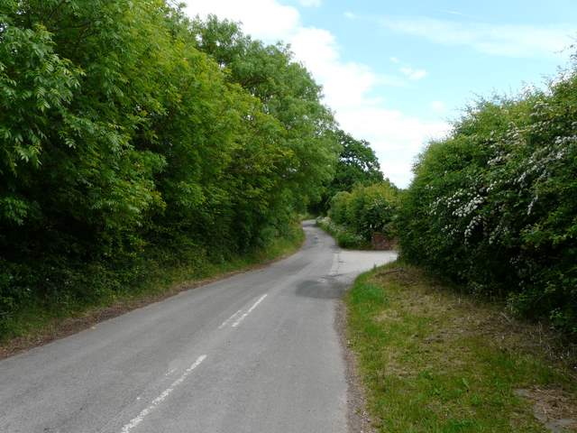
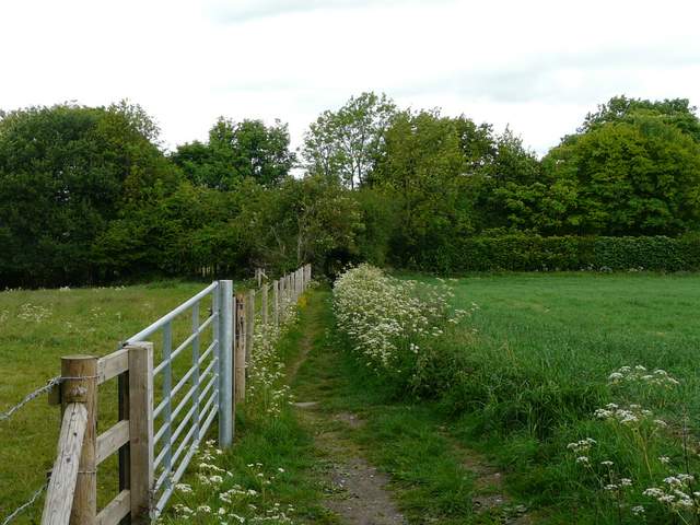
Approaching Browns Lane (running between the hedgerows)
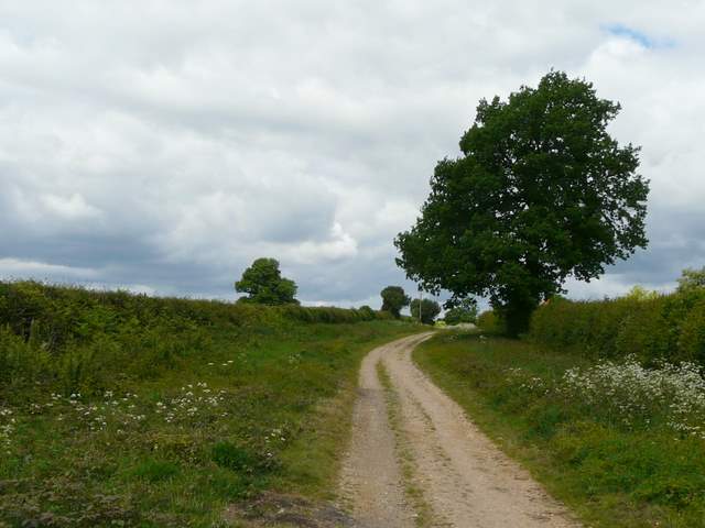
Browns Lane
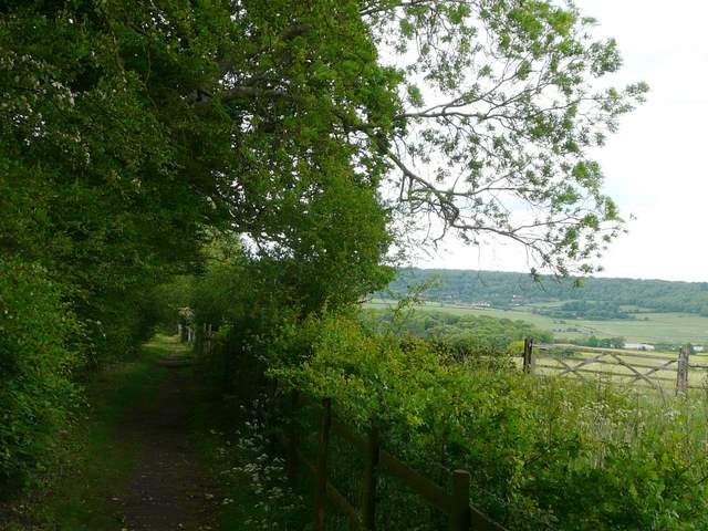
Near the end of Browns Lane
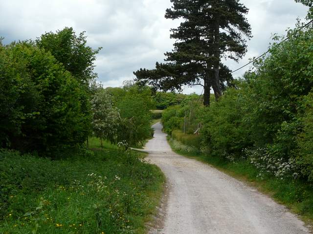
The start of Church Lane, Hastoe
The path led through woods and then along King Charles's Ride (Charles II once stayed at Tring Park). After several hundred yards I stopped for lunch on a bench I've often used for the same purpose before, with a grand view looking out over Tring Park, towards Tring and the Vale of Aylesbury beyond. A Buzzard floated by as I munched my sarnies. I then continued down King Charles's Ride, turning right at a junction at its end to reach another part of Wigginton (where I rejoined the route I'd originally planned to follow). Across a road a footpath led onwards along field edges - there was initially another good view, towards Pitstone Hill and Ivinghoe Beacon.
King Charles's Ride, Tring Park
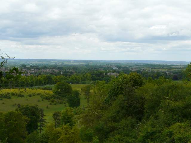
A view out from King Charles's Ride, over Tring Park and the Vale of Aylesbury
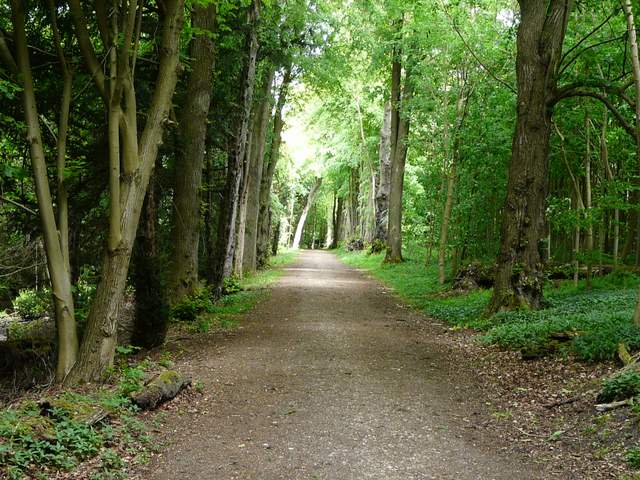
King Charles's Ride, Tring Park
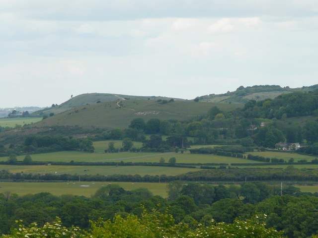
Close-up view of Pitstone Hill (with Ivinghoe Beacon beyond), from the edge of Wigginton
The Ridgeway National Trail, near Wigginton (I think the fence is new since I was last here)
Approaching the lane called The Twist
I crossed a lane (called The Twist on the OS map), and continued along a path between hedges and fences, with occasional views ahead back over the Tring Gap towards Aldbury and the wooded slopes of Ashridge. I then crossed the impressive footbridge carrying the Ridgeway over the A41 that I'd seen from a distance earlier, and then soon reached the road that was the A41 before the dual carriageway was built (I'd crossed it before at Cow Roast).
The Ridgeway National Trail east of The Twist - Aldbury at the foot of the wooded slopes of Ashridge in the distace
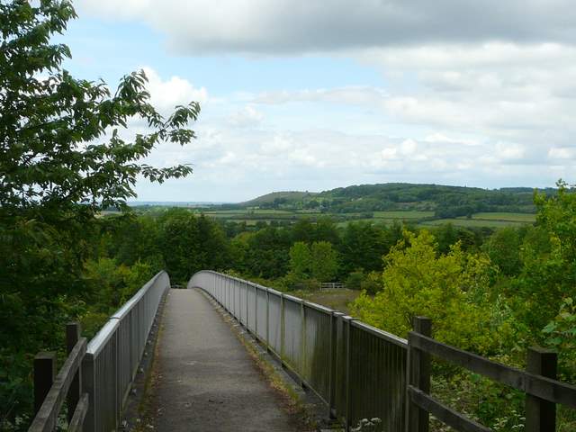
The footbridge carrying the Ridgeway over the A41 dual carriageway