Pete's Walks - Pitstone Hill and Hastoe (page 2 of 4)
I turned left to a stile in the corner of a sheep pasture, the path continuing half-right across a buttercup-rich meadow to a fairly new gate. It then went left, following the edge of an arable field, and then crossed a grassy meadow diagonally (half-right) to reach Norcott Court Farm. The path turned left out of the farmyard, then immediately right onto another track. After a couple of hundred yards I turned right along a hedgerow (watched by about 20 curious Alpacas), then turned left after a hundred yards or so across a field of green corn and crossed a tall bridge over the west-coast main railway line. The path continued ahead over another green corn field, then I turned right along a lane to reach the Grand Union Canal and the small settlement of Cow Roast.
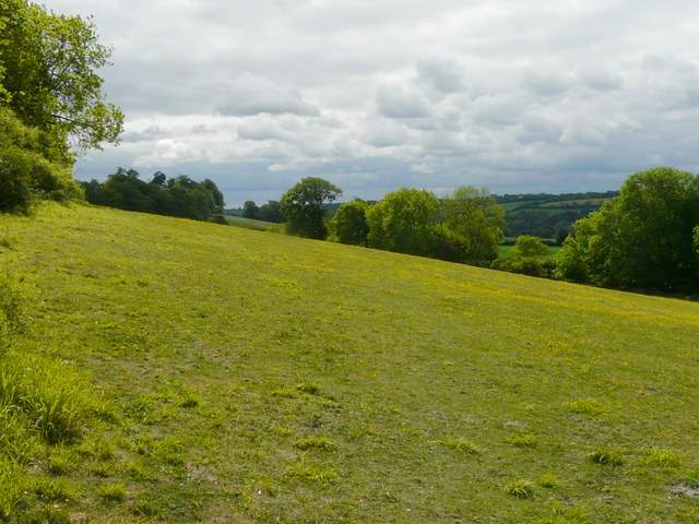
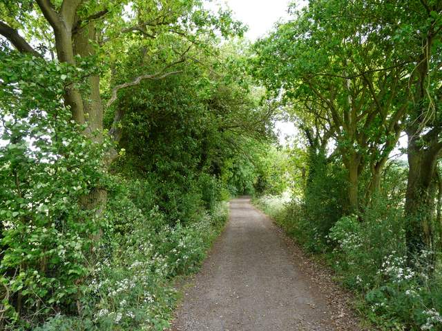
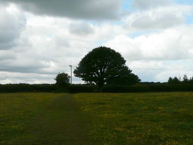
Buttercup-filled meadow on the way to Norcott Court Farm
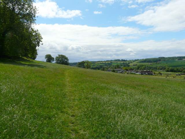
Approaching Norcott Court Farm
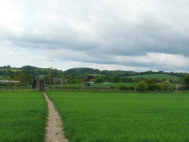
Approaching the bridge over the railway, just before Cow Roast
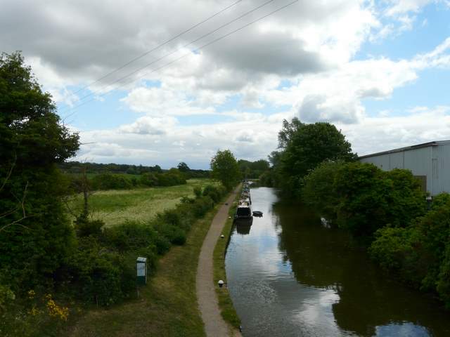
The Grand Union Canal at Cow Roast
Across the road, a gravel track (starting to the right of the Cow Roast Inn) led on past sport fields and then some small paddocks to reach another lane. I turned left, passing under the A41 dual carriageway, then took a path on the right. This followed a concrete track for a short distance (where I saw some Goatsbeard), then went left to cross the corner of another green corn field, before following a fence line between two huge 'paddocks' either side of a small valley. The path then continued through Lower Wood, and then very pleasantly through three or four flower-filled meadows. Here I saw Orange-tip and Common Blue butterflies, and a Burnet Companion moth.
The track heading west from Cow Roast
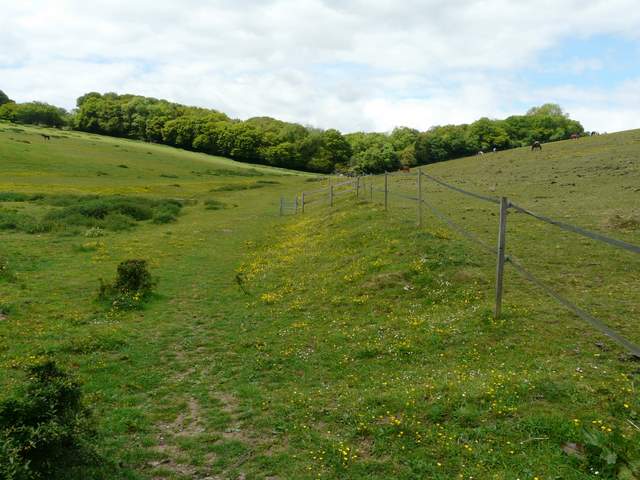
The large paddocks just before Lower Wood
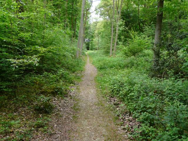
Lower Wood

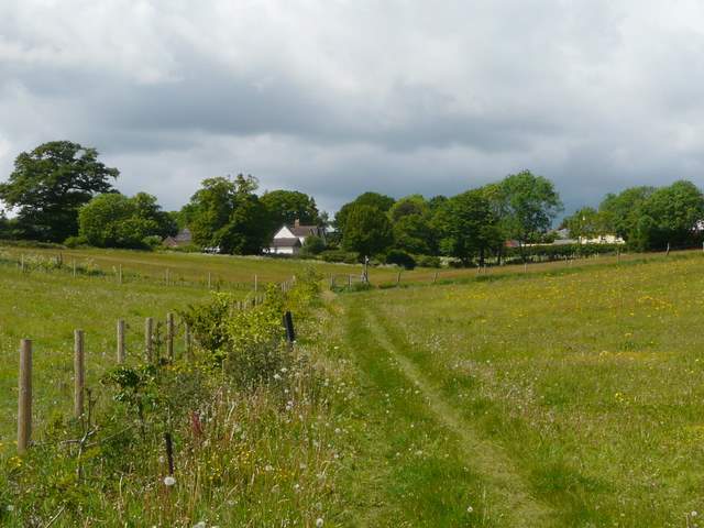
The first meadow after Lower Wood
Meadows between Lower Wood and Wigginton - it was quite sunny here, but you can see the skies ahead are a little threatening
Beyond the meadows I reached the village of Wigginton. I had by now decided to extend the walk slightly, so I turned left and followed the road for about a third of a mile, to just outside the village. Here I rejoined the route of the Chiltern Way (which I'd already followed from Aldbury to Lower Wood). As I turned right and crossed a narrow pasture, the skies were suddenly very dark and I felt a few spots of rain - reminding me that the reason I'd originally planned on a shorter than usual walk was because scattered showers were forecast for later on. Fortunately, as the path then went right and then left to continue alongside a line of gorse bushes and then through a long tree belt, the skies started to brighten and I would finish the walk without any more raindrops. The path here was very pleasant (though very familiar!), with the added historic interest that it was following the line of an ancient earthwork called Grim's Ditch. Eventually I passed through a section of Beech trees in Wick Wood and reached a lane.
The Chiltern Way, heading west from Wigginton - it really was suddenly very dark at this point and I felt a few spots of rain
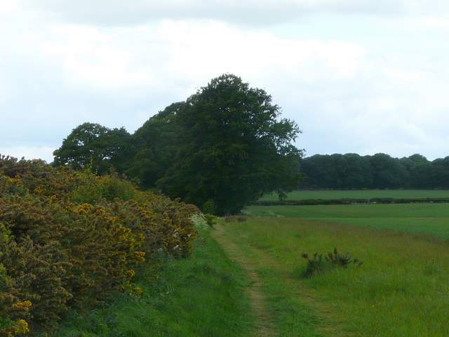
The path continuing alongside a row of gorse bushes
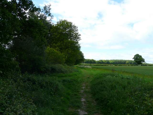
The path continuing westwards (on the line of Grim's Ditch)
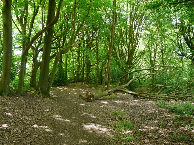
The path continuing through Wick Wood