Pete's Walks - Watlington Hill, Southend, Maidensgrove (page 1 of 5)
If you are considering walking this route yourself, please see my disclaimer. You may also like to see these notes about the maps and GPX files.
Google map of the walkDownload GPX file of the walk
UPDATE 30/10/2023: You now have to pay (£3 a day, I believe) at Watlington Hill car park, unless you are a National Trust member.
I did this walk of about 14.5 miles on Saturday, 4th June, 2011. Click here to see a rough map of the walk (but only if you have already read my disclaimer and notes regarding maps). I have marked three 'alternatives' on the map - if I did the walk again I'd use the first and third alternatives shown, but not the second (I've just shown that for anyone who wants to visit Turville, an attractive village irrespective of its modern claim to fame as the setting of 'The Vicar of Dibley'). The reason for these alternative sections is that on this walk I deliberately chose to walk a few paths that I'd not done before, even though I suspected from the map that they were inferior to paths that I had used before.
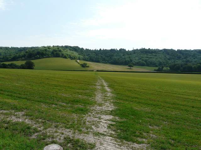
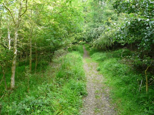
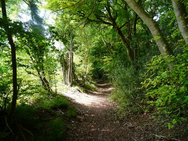
I left the car park at Watlington Hill (grid reference SU 709936) about 9.55am and followed the road east (right) for a quarter of a mile to a road junction on the edge of Christmas Common (there was some Lesser Stitchwort growing alongside the road and some Herb Robert, which, I'd see time and again today). I turned left, and after a hundred yards or so took a path on the right that entered a wood. Almost immediately I spotted a Muntjac deer crossing the track in front of me, and then a pair of Nuthatches. The path went straight on where the track went right, but soon turned left. On then reaching a path junction I turned right. After maybe a couple of hundred yards, in what was now an area of beech wood, I forked left, and followed a long path eastwards, gently descending through Shotridge Wood and then Blackmoor Wood. There were several sunny glades along this section, where I saw a number of Speckled Wood butterflies (I would see these frequently on this walk).
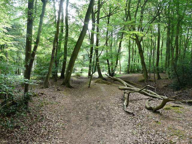
The path through Shotridge Woods (I think this is after turning right at the first path junction, before then forking left)
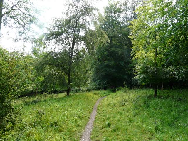
The path through Shotridge Woods
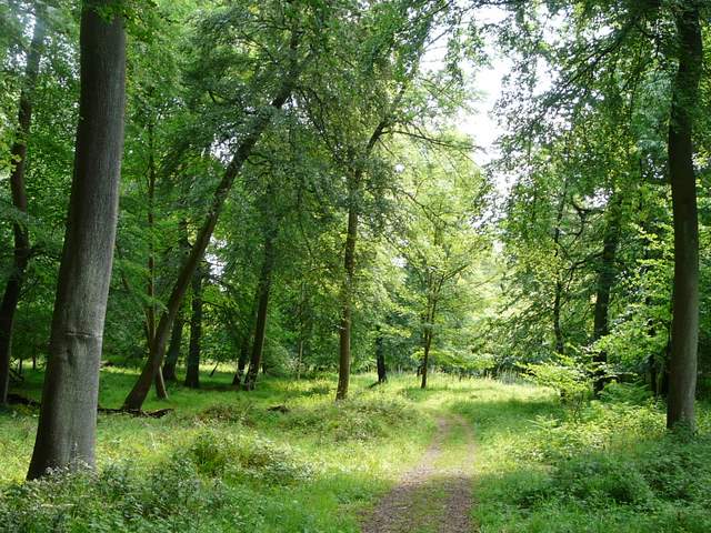
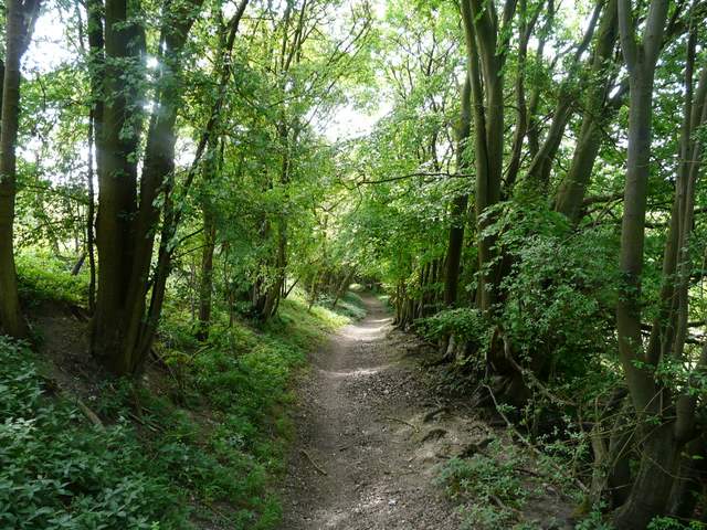
The path through Shotridge Woods (or possibly now Blackmoor Wood)
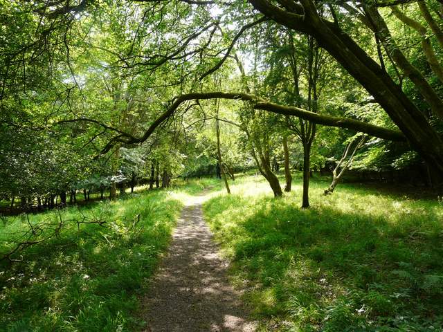
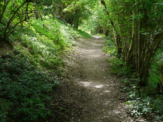
The path through Blackmoor Wood
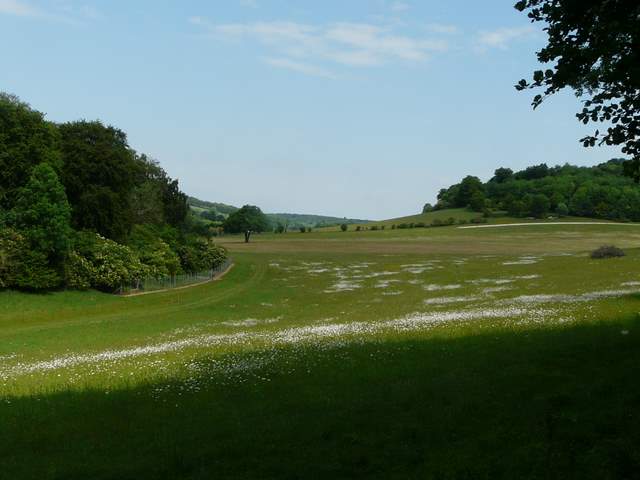
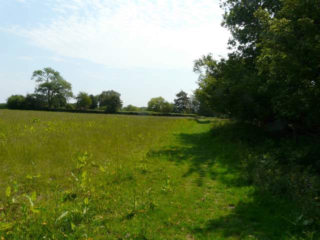
A mile or so after the left fork (having ignored a couple of paths going right) I eventually reached a drive (I was in the Wormsley estate now), where I went a few yards right before taking a path on the left and crossing a meadow or pasture. Across another drive, the footpath continued across a large field that was full of Common Fumitory, so much that it almost looked as if it was planted there as a crop. I then turned right, along a hedged or fenced bridleway, heading south through the lovely Wormsley valley. Where the bridleway ended (back on the first drive I'd met), I turned sharp left onto a footpath and resumed my eastwards progress across a very chalky field. The path continued through the beech trees of Hale Wood, then across a meadow full of wildflowers (I saw my first Common Spotted Orchid of the year here) and then entered Great Wood.
The path across the Wormsley Valley - the village of Ibstone runs along the top of the wooded ridge ahead
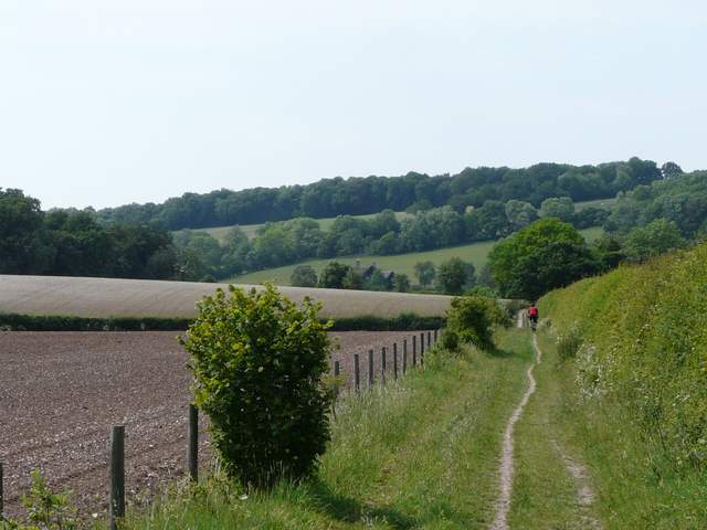
The bridleway in the Wormsley Valley
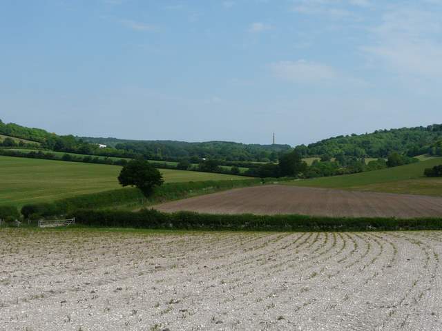
Looking back along the Wormsley Valley, from a very chalky field
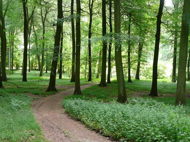
Hale Wood
Meadow between Hale Wood and Great Wood
It was a steady plod uphill through the wood - I did seem to struggle a bit going uphill today, I'll put it down to having slept badly the night before and a couple of nights mid-week, plus this was my first walk for three weeks (due to a bad cold and then having something on last weekend). Anyway I managed to reach the top of the hill, having a close-up view of a Red Kite on the way (it was perched on a dead tree, and waited patiently for me to raise my camera before flying off just before I pressed the shutter!). The path turned sharply left near the top of the slope, before turning right to reach the edge of the wood. The path then continued a short distance along the edge of a field and finally ran between garden boundaries to reach part of the village of Ibstone. Here I turned right along a lane, one of the buildings here being called Hellcorner Farm.
The path up through Great Wood
Approaching Ibstone
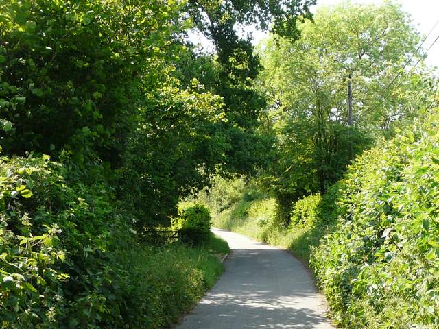
The lane in Ibstone (it runs past the intriguingly named Hellcorner Farm)
After a few hundred yards the lane ended, but a bridleway continued southwards through a narrow belt of trees. As the bridleway curved left from south to southeast, I entered new territory as I passed a junction where a path I usually use here goes right. The bridleway continued for some distance, still with a few trees either side, before heading just south of east and running through Turville Wood.
The bridleway continuing from the end of the lane
The bridleway continuing from the end of the lane
The bridleway continuing from the end of the lane