Pete's Walks - Southwest from Stoke Rowe (page 2 of 4)
After about half a mile or so I crossed Park Lane, the bridleway continuing now between a fence and a hedge to reach an isolated cottage (the map is marked Whitewood Heath, but I'm not sure if that is the area or the building). I then carried on down the drive from the cottage, to reach a road junction. Having finally reached the end of the bridleway, I crossed the A4074 road carefully, going straight on along the ominously named Deadman's Lane. After maybe another half mile, I turned right onto a bridleway entering Bensgrove Wood.
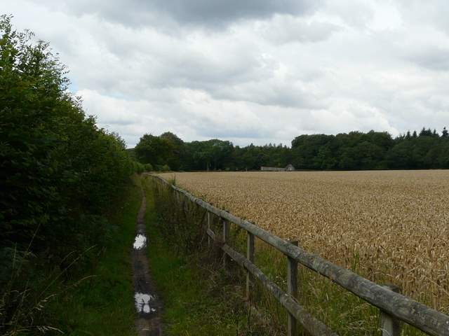
Approaching Whitewood Heath
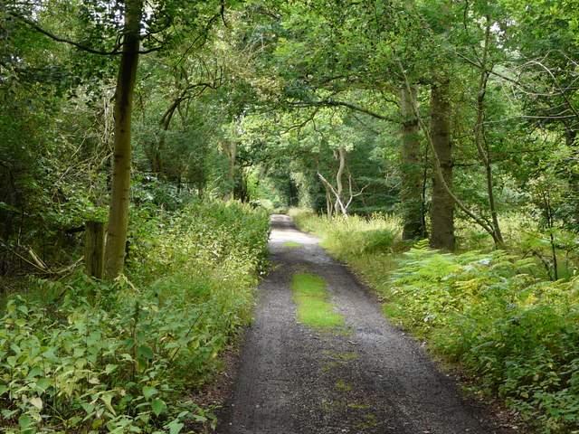
The drive from Whitewood Heath to Deadman's Lane
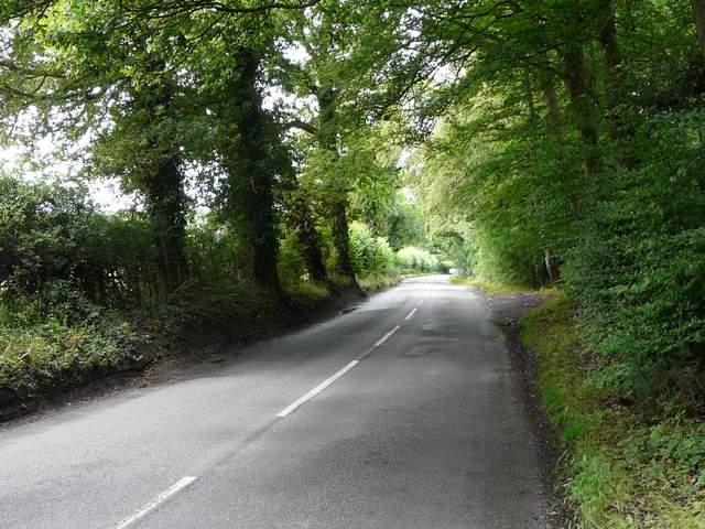
Deadman's Lane
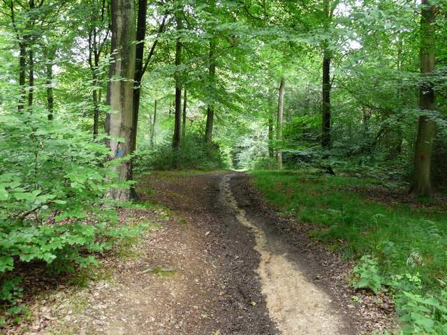
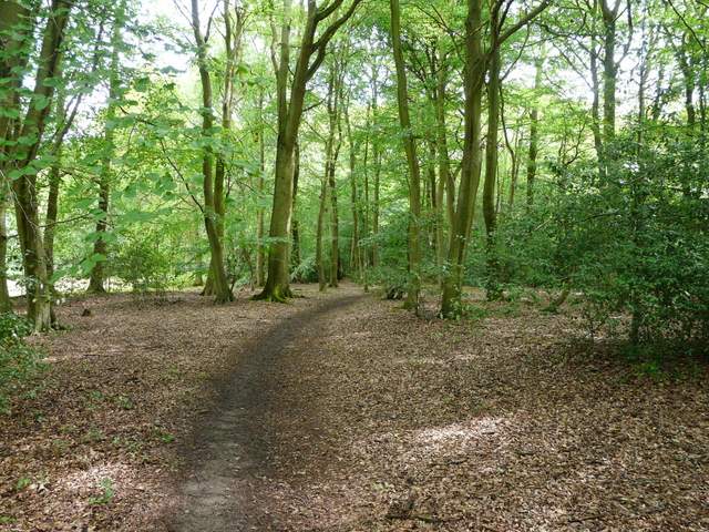
After about a third of a mile through Bensgrove Wood, the path turned left for a short while, then went right. Here it was in a more open area, but it soon entered another wood, Common Wood. I ignored paths going off on either side and came to a bridleways crossroad, where I turned right. I now entered College Wood or Abbott's Wood (that's how it's named on the map). As I followed the path through the wood I recalled a curious incident that happened to me here once - I was startled by a huge pine cone suddenly landing at my feet, yet when I looked around there were no pine trees within view! I can only imagine that it was dropped by a squirrel or bird.
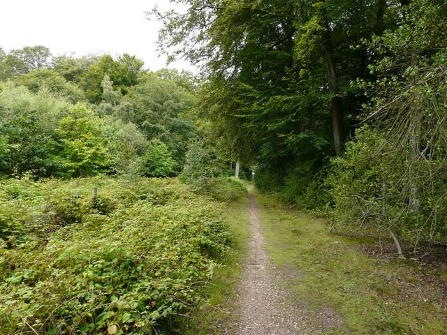
Heading northwest into Bensgrove Wood
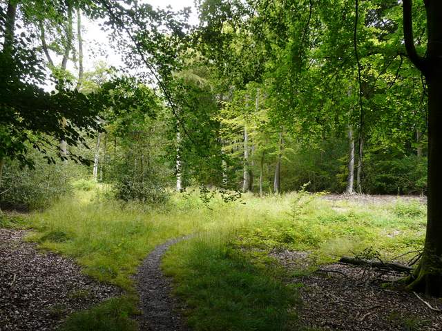
Approaching Common Wood
College Wood or Abbott's Wood (this is how it's named on the OS map)
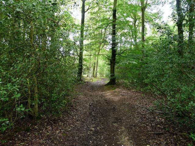
College Wood or Abbott's Wood
College Wood or Abbott's Wood
After about half a mile, the bridleway led back to the A4074 (which I'd crossed before to reach Deadman's Lane). On the other side was a small wood, then I turned left along a minor road heading into the village of Exlade Street. Just past the Highwayman pub on my left, I took a footpath on the right. This ran between garden fences to reach a field, continuing uphill alongside a hedge on my right. At the top of the hill, the path turned left and entered a large pasture (now empty but cows had been there recently). I followed the hedge then fence on my left to a distant corner of the field, where I turned left onto a track named Corker's Lane on the map.
Between the A4074 and the lane into Exlade Street
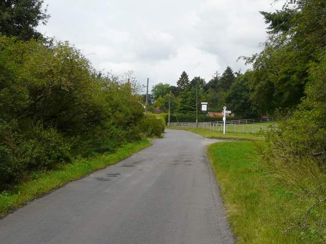
Approaching Exlade Strret
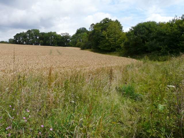
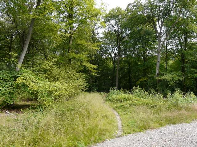
Start of the path from Exlade Street
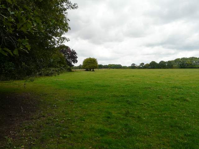
The path north from Exlade Street