Pete's Walks - Southwest from Stoke Row (page 3 of 4)
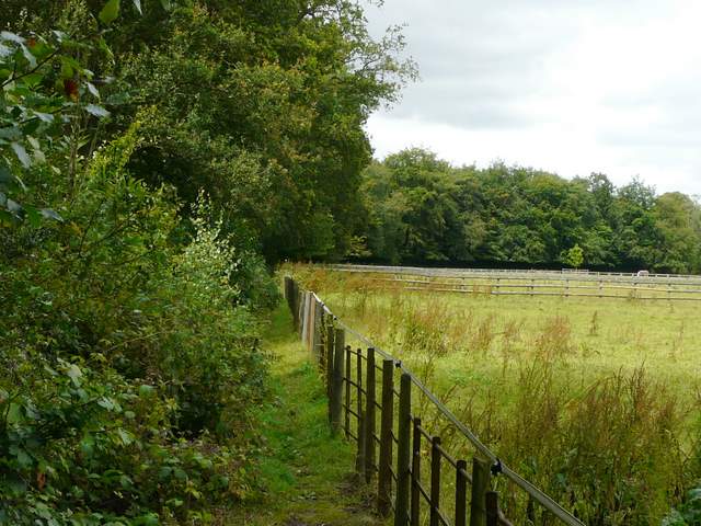
Corker's Lane soon led me to a road on the outskirts of the village of Checkendon, where I turned right for a short distance before taking a footpath on my left. This headed north between a fence on my left and a tall hedge, all within the grounds or parkland surrounding Checkendon Court. After a couple of hundred yards I turned right, on a path that led across a large grassy area of the park and then alongside the gardens of the grand house on my left. Across the drive to the house, I took a brief detour right to see Checkendon church, before continuing on the path which soon turned left. A thick hedge on my left now separated me from the grounds of Checkendon Court, with small paddocks on my right. After a while, the path turned right, now with a wood on my right, and soon reached a lane.
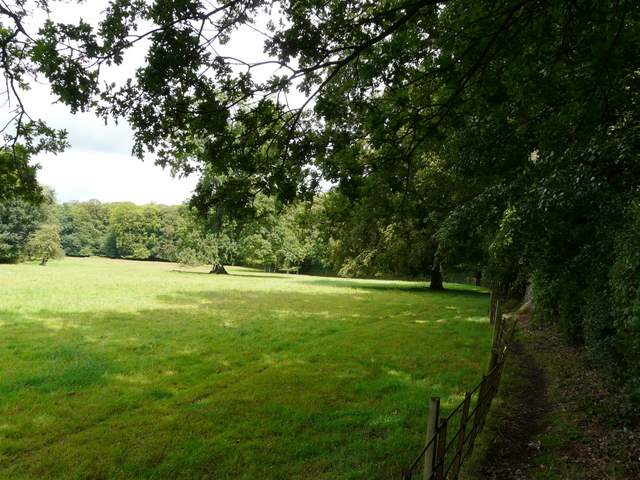
Path in the parkland of Checkendon Court
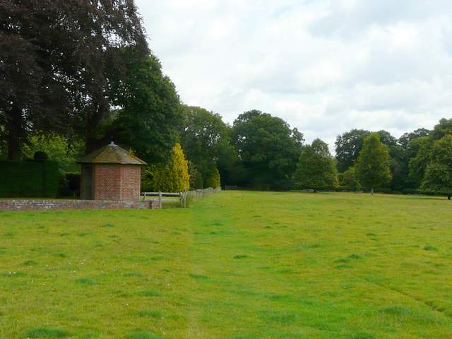
The footpath past Checkendon Court
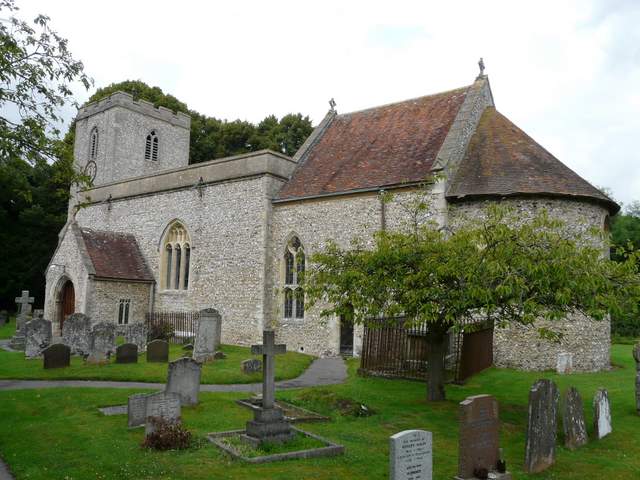
Checkendon church
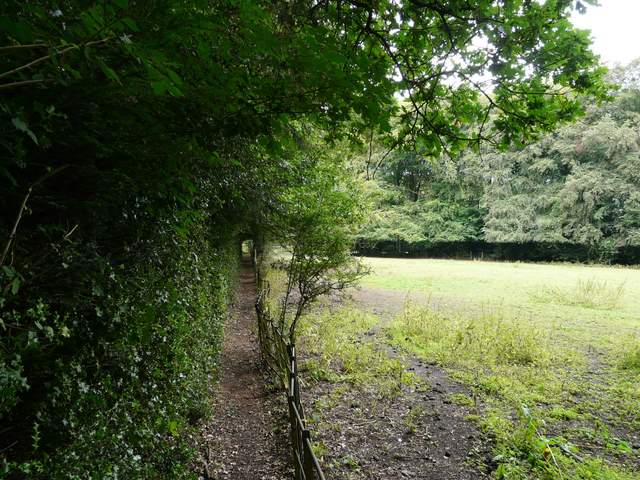
The path going northwest from Checkendon Church
The path going northwest from Checkendon Church
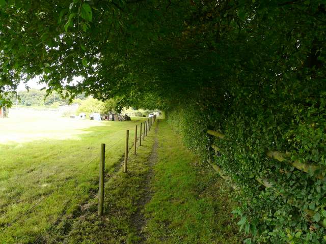
The same path now heading north towards a lane
Across the lane, the path continued across an empty cattle pasture to reach a wood (from the map, I think it was called The Covert). The path descended slightly through the trees to join a wide track, heavily rutted by vehicle tracks, where I turned left. At this point I was leaving the route of my Chiltern Chain Walk and entering what was new territory for me. The track soon descended towards a valley bottom where I turned left at a path crossroads. A track followed the valley bottom gradually downwards, with steepish wooded slopes either side (Yewtree Brow was to my right, Braziers Common to my left).
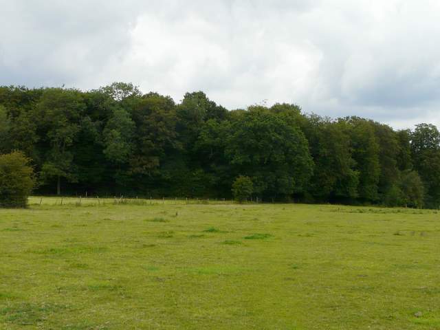
The path continuing across the lane, towards The Covert
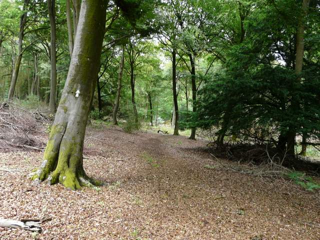
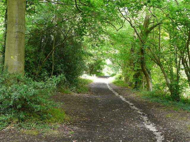
The path in The Covert
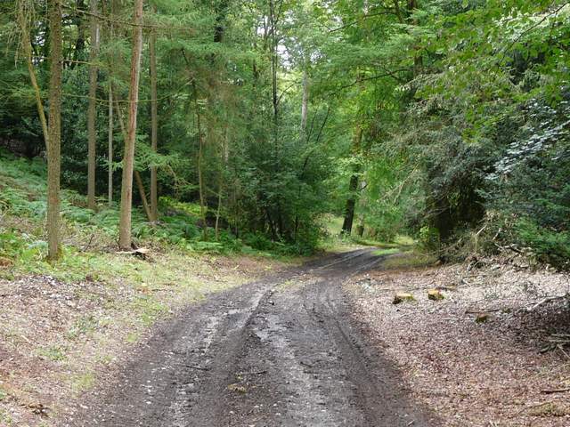
The path in The Covert (just after the path junction)
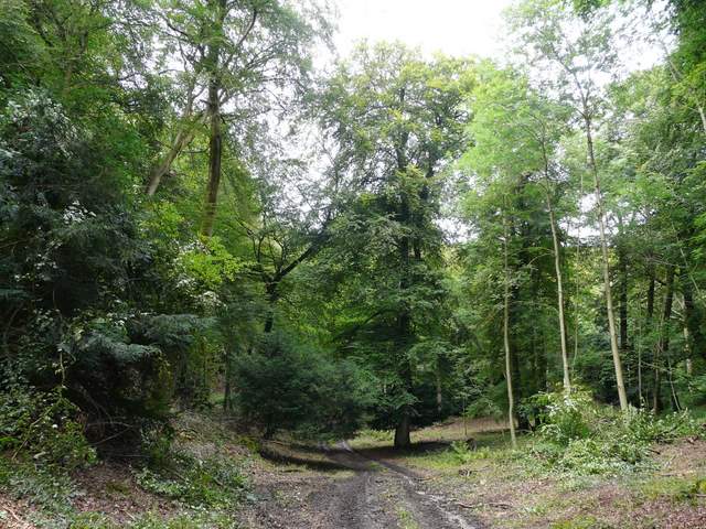
The path in The Covert
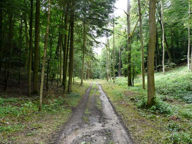
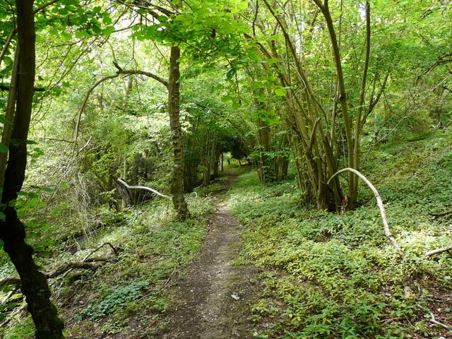
The path between Yewtree Brow and Braziers Common
The path between Yewtree Brow and Braziers Common
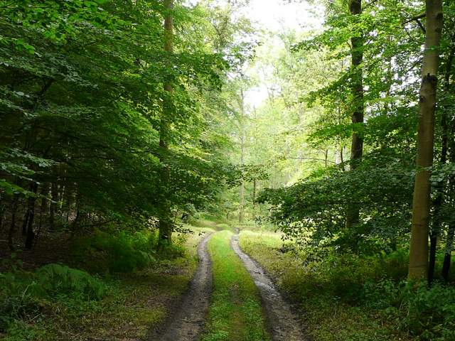
After about half a mile, the track petered out, and a narrow path continued, now going uphill, with the edge of the wood just a few feet to my left. After maybe a quarter of a mile, a path came in from the left and at this point I joined the route of the southern extension of the Chiltern Way - I took a brief detour left here to admire the view over Bottom Farm, before continuing along the gently rising path. After another quarter of a mile or so I reached a track called Braziers Lane, where I turned right. I heard a Raven overhead as I followed the track for a few hundred yards to reach a lane on top of Garsons Hill.
Path rising along the southern edge of the wood
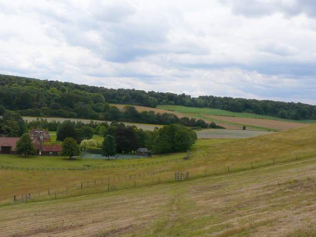
View over Bottom Farm, Ipsden
Braziers Lane
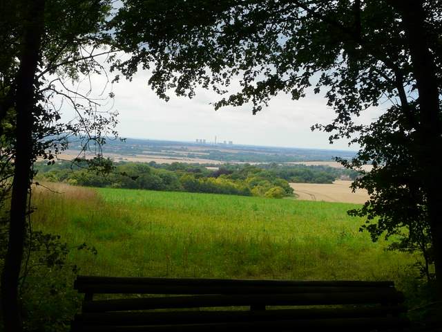
Didcot Power Station (!) from Braziers Lane