Pete's Walks - Cadmore End, Crowell Hill, Radnage (page 3 of 5)
The footpath continued northwards, soon with fields just a few feet away to my right and at some point moving from Kingston Wood to Crowellhill Wood. At one point I passed the top of a large earthwork marked on the map, possibly an old 'hollow way' or perhaps an ancient boundary (it looked more like the latter to me). Eventually the woods ended, and I turned right along a lane through the hamlet of Crowell Hill. I followed the narrow lane for almost half a mile before taking a bridleway on the right that started by Crowellhill Farm. This soon followed the groove of an old hollow way steeply downhill, then I kept left at a bridleway fork near the bottom of the slope.
Path going north through High Wood
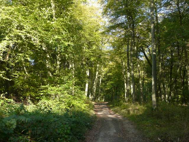
Path continuing north through Crowellhill Wood
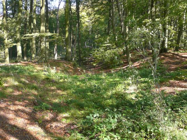
Large earthwork, Crowellhill Wood
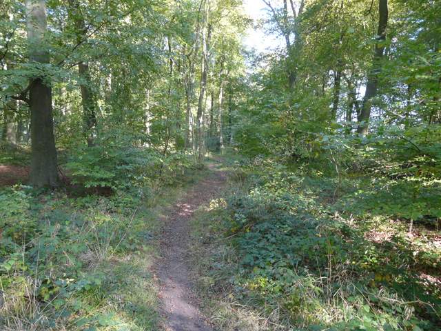
The bridleway after forking left in Crowell Wood
There then followed a very pleasant section, following the broad bridleway along the northern edge of Crowell Wood (I'd touched on its southern edge earlier). This went on for about a mile, the wood being a fairly typical beech wood, which are always a delight to walk through at this time of year. The bridleway ended on Grange Farm Lane, which I followed to the right for a few hundred yards, before turning sharp left (here rejoining the Chiltern Way) on a footpath that climbed steadily uphill across a ploughed field. At the top of the field the path followed a tall hedge on my left to the field corner, where the path went through a hedge gap and then through a gate on the left, running through a small grass area to another gate. I then crossed a drive and continued down a drive, going slightly left, the other side.
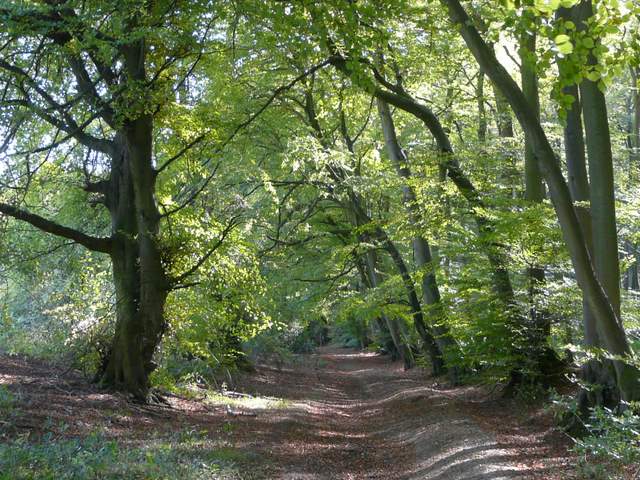
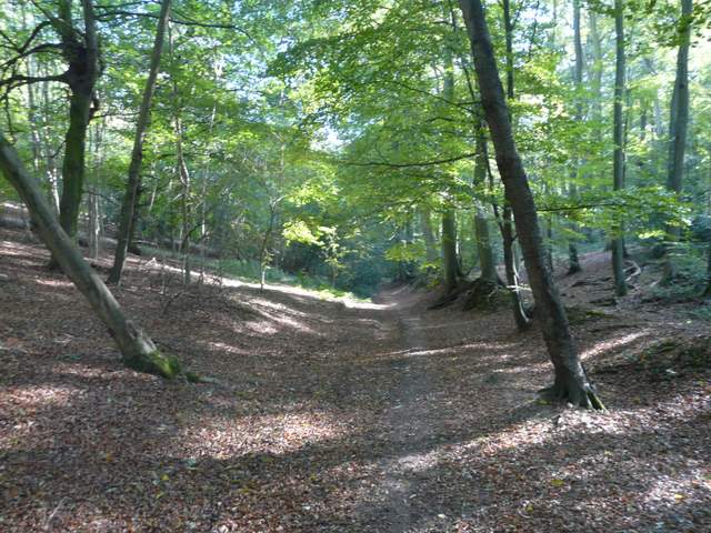
The bridleway in Crowell Wood
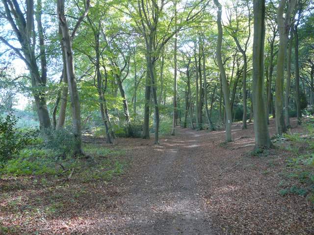
The bridleway in Crowell Wood
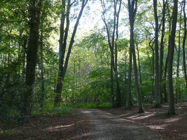
The bridleway in Crowell Wood
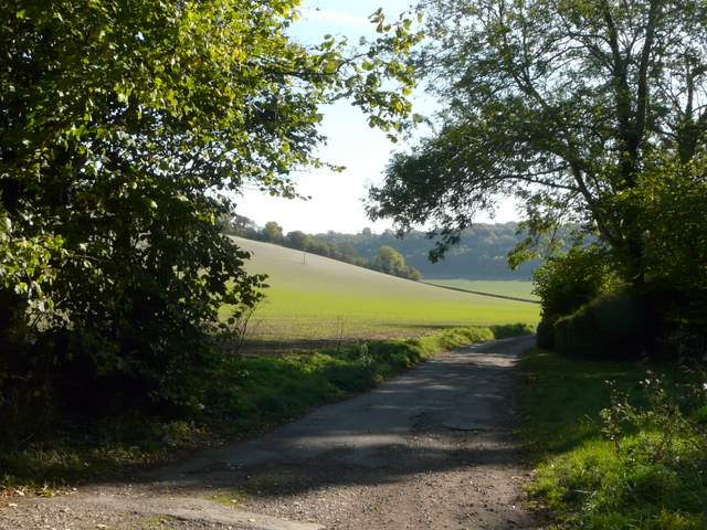
Where the bridleway ends on Grange Farm Road
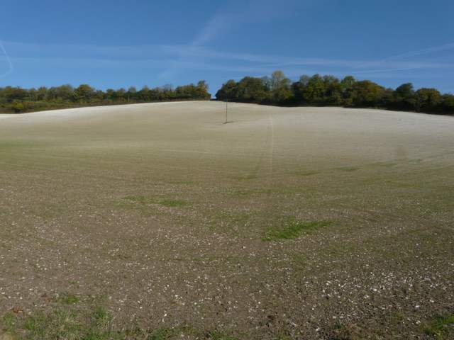
The path from Grange Farm Road up to Andridge Common
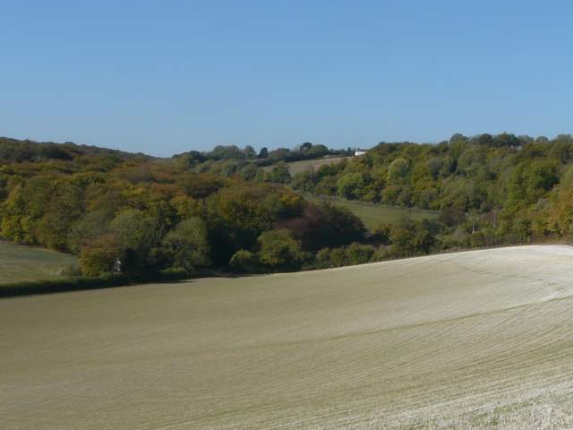
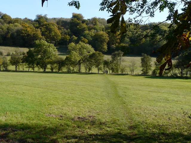
From the path to Andridge Common, looking back to Crowell Wood
The path soon reached a field, where I turned left and followed a hedgeline downhill, with a lovely view to my right over parts of Radnage and along a valley leading to West Wycombe (I could just make out the Italianate spire of St Lawrence's church, which is next to the Dashwood Mausoleum on a hilltop overlooking the village). After a while the path went left through some bushes next to a cottage. At the end of the path I continued downhill along a lane for a short distance before turning left at a junction. I then soon turned right, following a path that crossed a drive and continued through a meadow to reach another lane with Radnage church on the other side. I then walked through the churchyard, and continued on a pleasant path across two meadows.
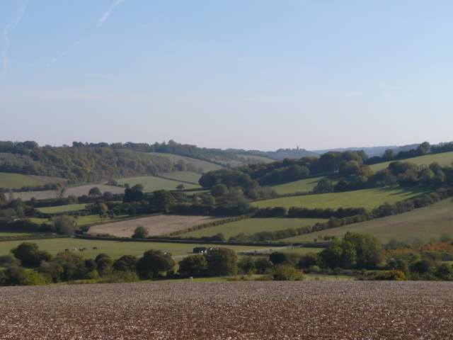
From near Andridge Farm, looking southeast towards West Wycombe (the tower of St Lawrence's church by the Dashwood Mausoleum is just visible on the skyline, right of centre)
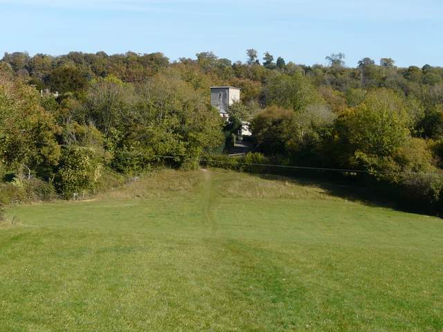
Approaching Radnage church
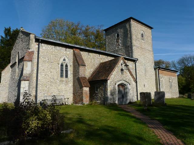
Radnage church, rather unusual in having a the tower central rather than at one end (I've mentioned before that it played the role of Cranford church in the BBC's recent adaptation of Cranford)
The path going southeast from Radnage church