Pete's Walks - Cadmore End, Crowell Hill, Radnage (page 2 of 5)
The footpath continued northward through the woods for another half mile or more. It then ran through a long thin meadow or pasture, before going through a gate and continuing along a farm track, with the M40 just ahead. By Coopers Court Farm, I joined part of the route of the Chiltern Way as it passed under a motorway bridge to reach the large village of Stokenchurch.
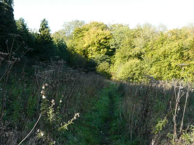
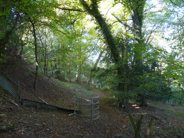
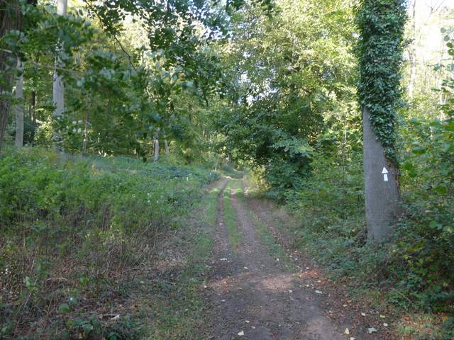
Footpath through Twigside Bottom
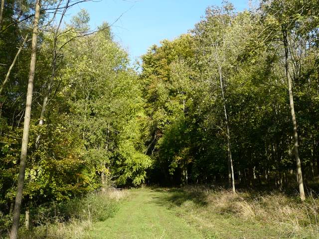
Footpath through Twigside Bottom
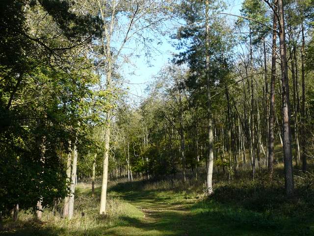
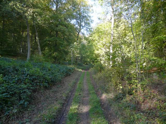
The path heading north from the woods of Twigside Bottom
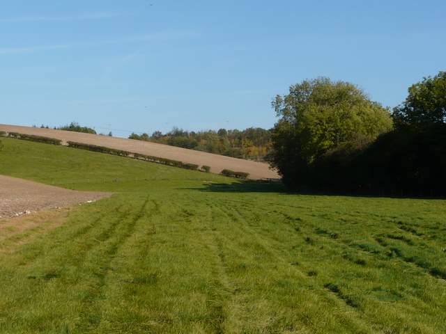
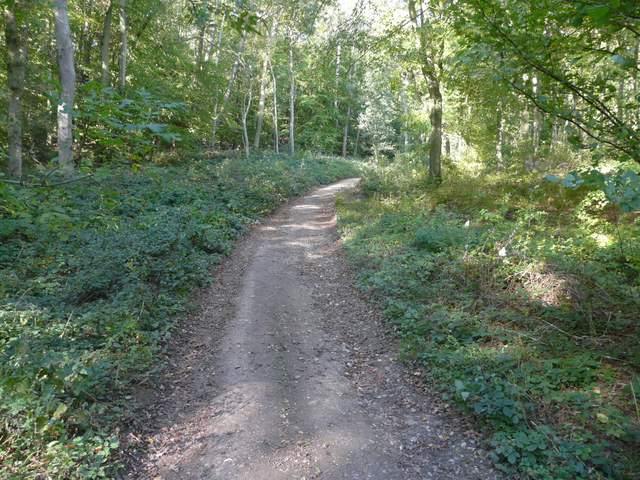
The path heading towards Coopers Court Farm and the M40
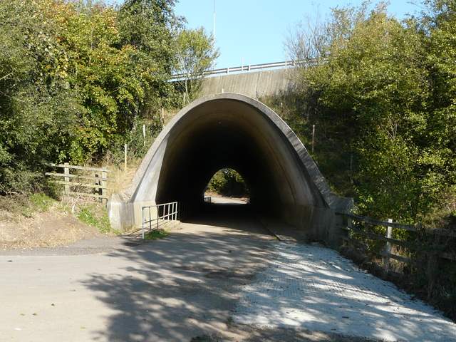
The M40 bridge, leading into Stokenchurch
I was a little surprised that it had so far taken me an hour and a half to reach Stokenchurch. At the end of the drive from the farm I walked straight on along a street. As I then crossed the A40 here, I was amused by the name of a shop selling log-burning fires and such like - 'Flaming Grate'! I followed a street almost opposite that soon turned right (becoming Church Lane, I think), then took a path going left along a street or drive, starting next to a pub. The Chiltern Way soon turned off right, but I continued ahead along a tarmac drive, once again on a path that was new to me. Just beyond a house called Mallard's Court, a metal fingerpost indicated where a path went westwards - it passed a shed on my right, followed a track for a few yards, then ran through an overgrown meadow to reach a wood. After a while I went sharp right at a path junction, this path going downhill to emerge from the woods on the drive to Hallbottom Farm.
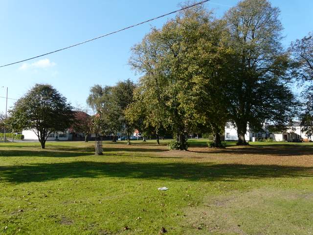
Part of the green at Stokenchurch
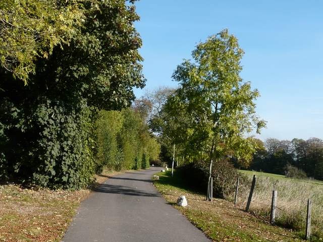
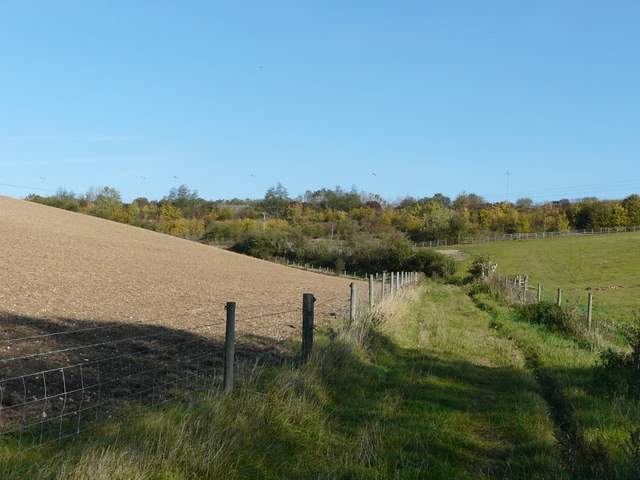
The lane or drive north of Stokenchurch
Footpath north of Mallard's Court
Footpath north of Mallard's Court
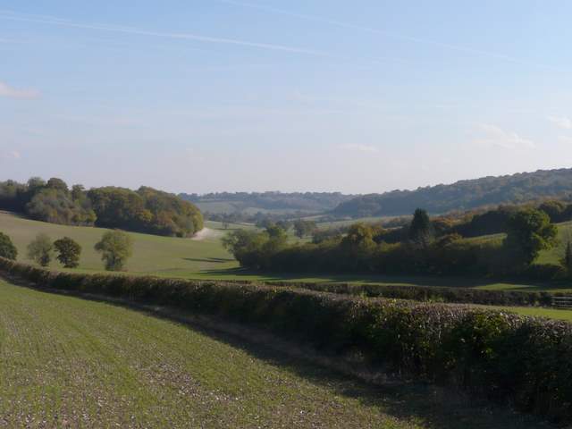
By the gates to the farm, a footpath now went northwards (left), across a paddock and then uphill across a ploughed field. I paused at a junction of hedgerows to take a photo looking east along the attractive valley, and when I turned to continue along the hedgerow continuing northwards, I saw a Hare scampering along the field in front of me. The path continued beside a hedge on my right, and near the top of the hill I reached Lott Wood, the path continuing just inside the eastern edge of the wood and soon dropping into a small valley.
The footpath just west of Hallbottom Farm
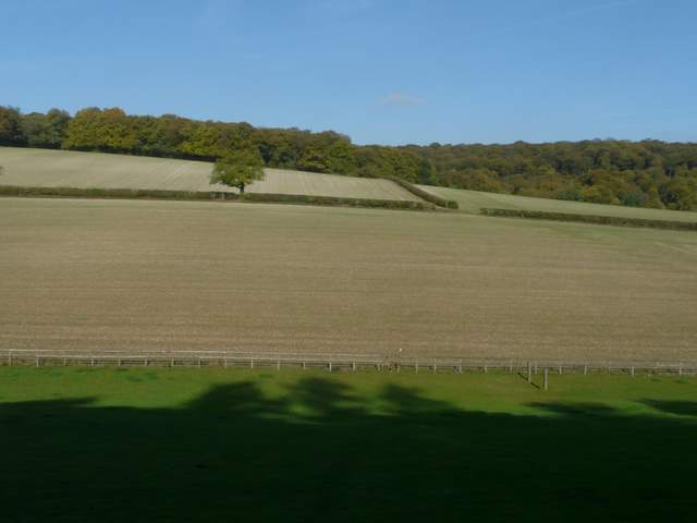
View east from near Hallbottom Farm, towards Radnage
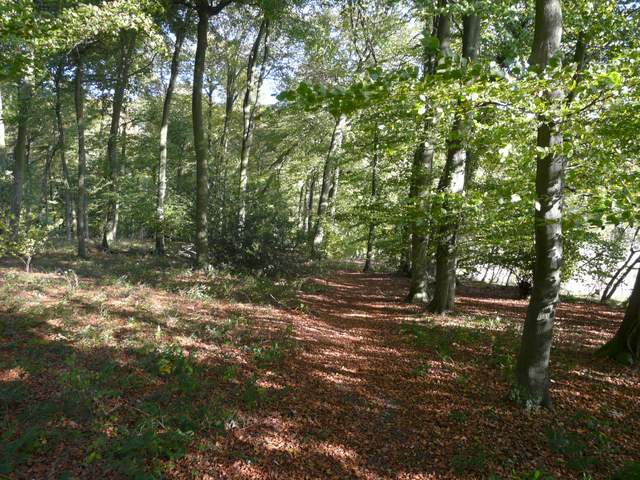
The path going north through Lott Wood
In the valley bottom I turned left onto a bridleway along a good track, which I followed for about half a mile north-westwards between Lott Wood on my left and Crowell Wood, then High Wood, on my right (I've only just realised while writing this, that I walked this section in the opposite direction when I did a Cowleaze Wood and Radnage walk in December 2009). At a junction where the bridleway went left, I took a roughly surfaced path going straight on (I'd just passed another footpath starting on the right), which soon curved right (northwards) towards Kingston Wood.
Start of the section along the bridleway going northwest, with Lott Wood to the left and Crowell Wood on the right
The bridleway going northwest through High Wood
Start of the path going north from High Wood to Kingston Wood