Pete's Walks - Cholesbury, Ashley Green, Marlin Chapel (page 2 of 2)
We continued past Marlin Chapel Farm on our left and Cock Grove on our right, then forked slightly right on a path that immediately brought us to the ruins of the 13th century Marlin Chapel, on our left. The path then continued on through the park land surrounding a large house called Rossway, which we could see on the right. Across a drive to the big house, the path continued along a hedgerow, and soon sloped downhill to reach a minor road.
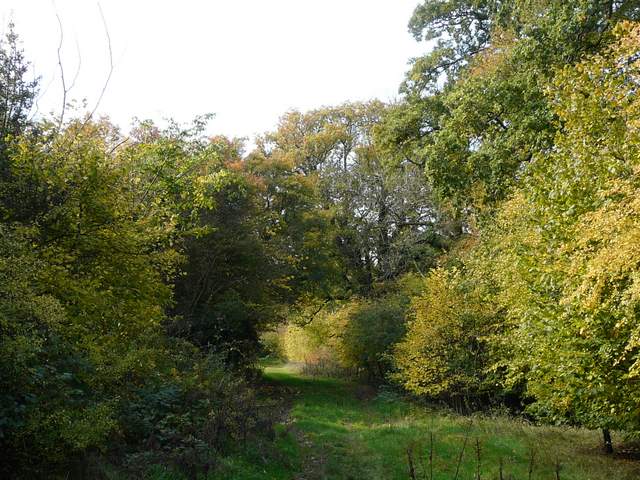
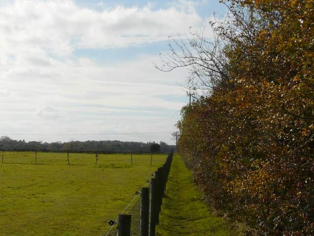
The bridleway continuing past Cock Grove
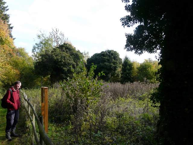
Martin reading the information board at the ruins of the 13th century Marlin Chaplin
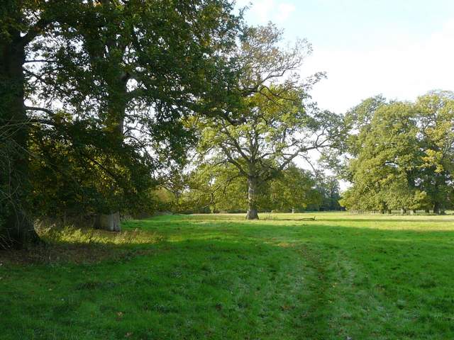
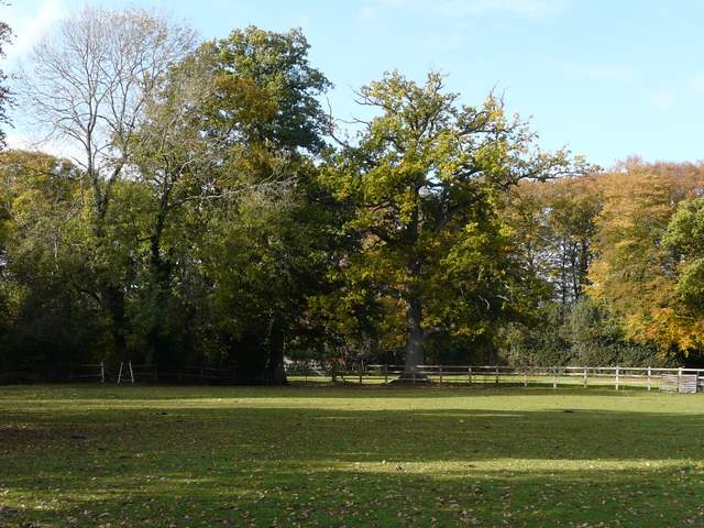
The path through the park land around Rossway
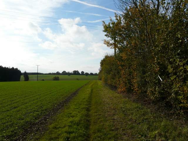
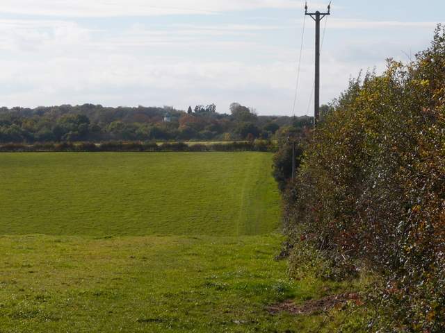
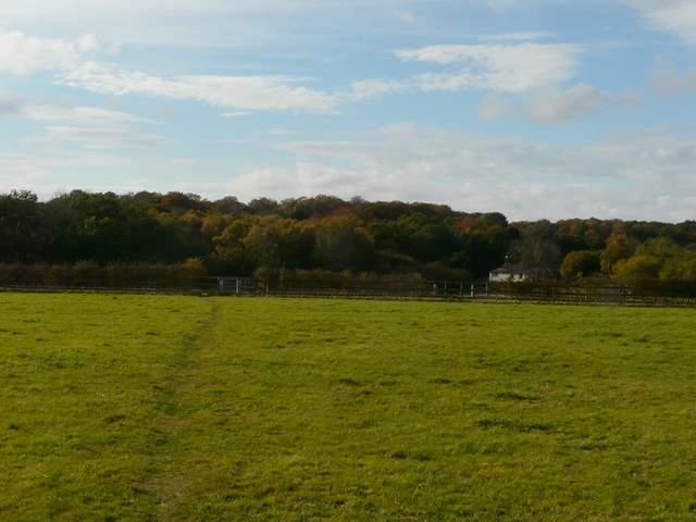
The path going southwest from Rossway towards a minor road
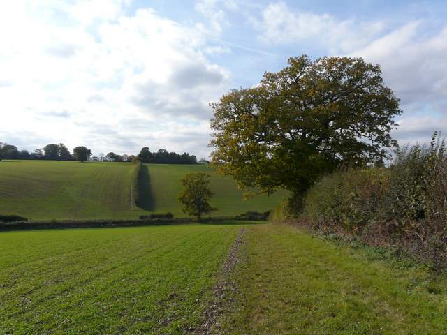
The path going southwest from Rossway towards a minor road
We went a few yards right, then forked right onto a lane. We saw a Buzzard here, over a small wood. At the end of the lane we turned right again, then just after this road turned right we took a hard-surfaced byway on the left. After three or four hundred yards this turned left and brought us to some houses (this spot is marked Lodge Farm on the OS map). Here we turned left again, on a path that went up and down a small dip, then ran between fences to reach a minor road (the same one we'd followed briefly a little earlier).
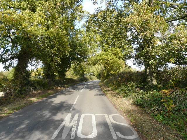
The lane north of Heath End
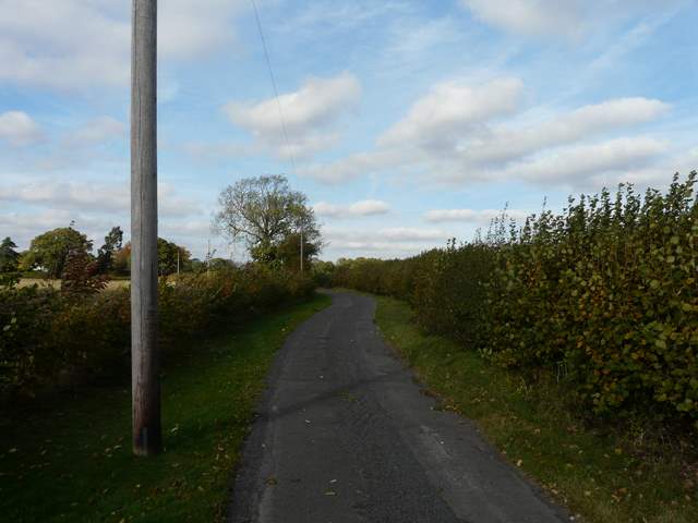
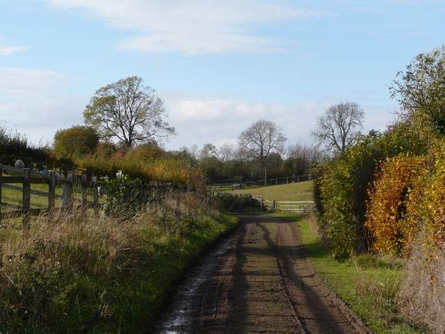
The drive to Lodge Farm
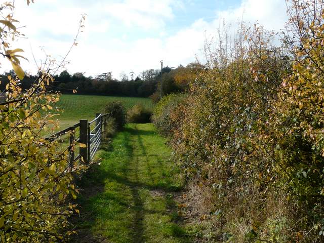
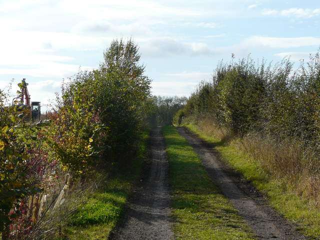
The path going southwest from Lodge Farm
Another path continued on the far side of the road, running between a fence and a hedge, then continuing alongside the hedge in an empty cattle pasture. In a valley bottom we turned right to immediately reach Tring Grange Farm, where we went half-left along a footpath on a good track between hedges. We kept left at a path junction, then at the top of a small rise the footpath forked right from the track, and followed a path through a series of kissing gates in some paddocks. This path took us down to the valley of Cholesbury Bottom.
The path continuing southwest towards Tring Grange Farm
The path continuing southwest towards Tring Grange Farm (in the valley ahead)
Near the start of the path from Tring Grange Farm
The path from Tring Grange Farm (the next path forks half-right at the top of this small rise)
The path to Cholesbury Bottom
We turned right, and followed a muddy path through the trees in Cholesbury Bottom to a road, beyond which a short path led through more trees to a lane. A few yards to the left, a path started on the far side which took us along a fence to reach the ditch and embankments of the Cholesbury Camp iron age hill fort. We had a little difficulty following the path leftwards round the camp (my fault, I forgot that it goes up the inner bank at one point), but eventually made it to the paddocks inside the hill fort and then turned left to reach the road through Cholesbury. It was then just a short stroll left back to the car park.
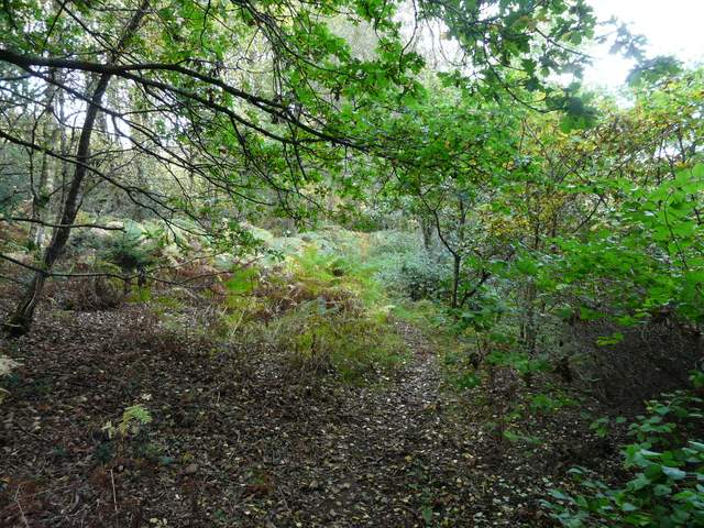
Path at Cholesbury Bottom
Paddocks inside Cholesbury Camp
After a greyish start it had been a pleasant day weather-wise, though with a stiffish breeze for a while after lunch. The countryside had been pleasantly rolling, and quite attractive with many trees changing into their Autumn colours. It had made a nice change to walk with someone else, and hopefully Martin and I will do another walk together sometime in the future.