Pete's Walks - Cholesbury, Ashley Green, Marlin Chapel (page 1 of 2)
If you are considering walking this route yourself, please see my disclaimer. You may also like to see these notes about the maps and GPX files.
Google map of the walkDownload GPX file of the walk
I did this circular walk of about 9.5 miles on Saturday, 29th October, 2011. Click here to see a map of the walk (but only if you have already read my disclaimer and notes regarding maps). The route is a much shortened version of the Buckland Common and Ashley Green walk I did in May 2010, with a couple of variations. (NOTE: there are more photographs and a slightly fuller description from when I did this walk again in December 2022 here).
Most unusually, I had a companion on this walk, Martin from Markyate. I bumped into Martin a few years ago near the windmill at Lacey Green, when I helped him identify a bird he'd just seen as a Red Kite. After chatting for about 10 minutes, we were surprised to discover that we lived in neighbouring villages (we were both about 20 miles from home). About 18 months ago, I bumped into him again, this time just outside Markyate when I was on one of my local walks. Unfortunately he's had some health issues, but we have finally managed to get together for a walk, and it made a nice change from my usual solitary walks.
We started walking about 10am, from the car park by the cricket pitch on Cholesbury Common (where we immediately spotted a Red Kite). We went a short distance eastwards along the minor road here, then (near a junction with a road called Ray's Hill) cut half-left across the common and downhill to join the rather muddy footpath along the northern edge of the common, where we turned right. As we followed the path along a valley bottom, we were following the Herts-Bucks county boundary. After crossing a lane, the path continued along the valley but now going south-east, the common here was mainly wood with a few open spaces, while there were fields sloping up to our left. Martin soon spotted a Muntjac and also a Goldcrest. Further on the path became a drive, which then merged with a lane, which led on to some cottages and Vale Farm. By a lane junction we took a footpath on the right, which rose a short distance through the trees of the common to return to the minor road. On the far side a short lane led on to Hawridge Church.
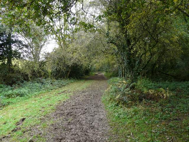
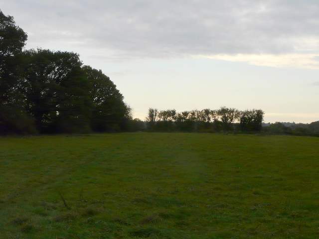
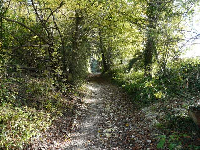
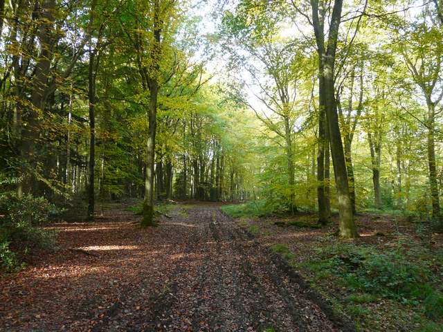
The path following the county boundary eastwards along the northern edge of Cholesbury Common
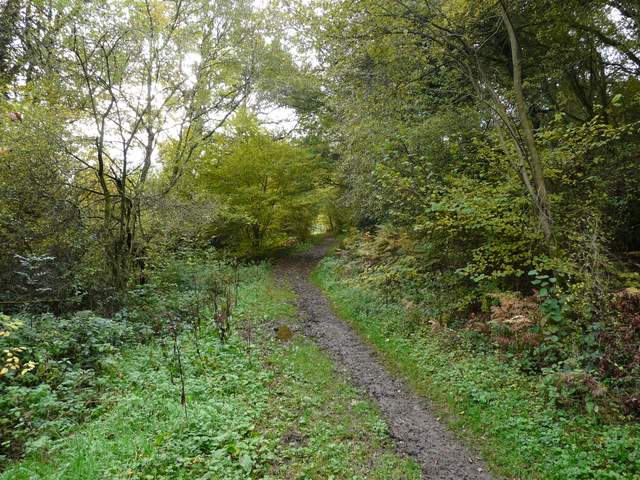
The path continuing south-eastwards along the northern edge of Cholesbury Common
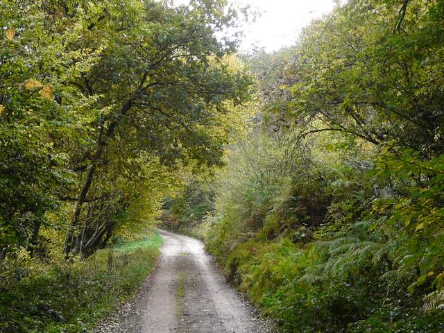
The path continuing along the drive to Vale Farm
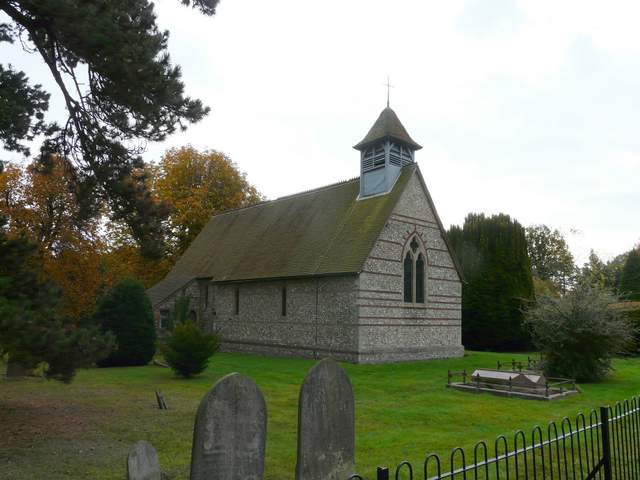
Hawridge church
Beyond the church a short path led right, past Hawridge Court, and then we turned left on a path through a meadow. We were now heading southeast again, the path continuing for about a mile through the middle of two large arable fields and then following a hedgerow around the left edge of a third. We then came to a path junction (near the Ostrich farm), where we followed a path left past Bower Farm.
The path going southeast from near Hawridge church
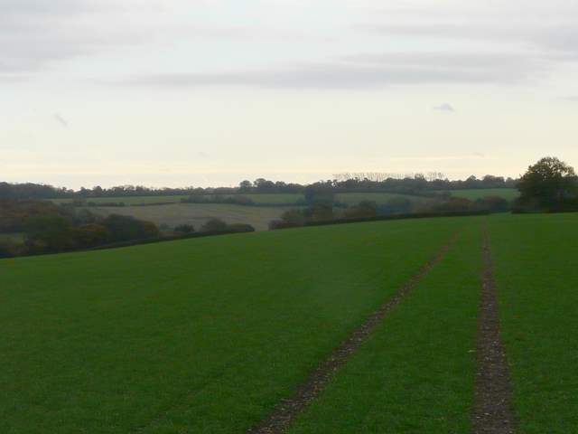
The path continuing southeast towards Chesham Vale
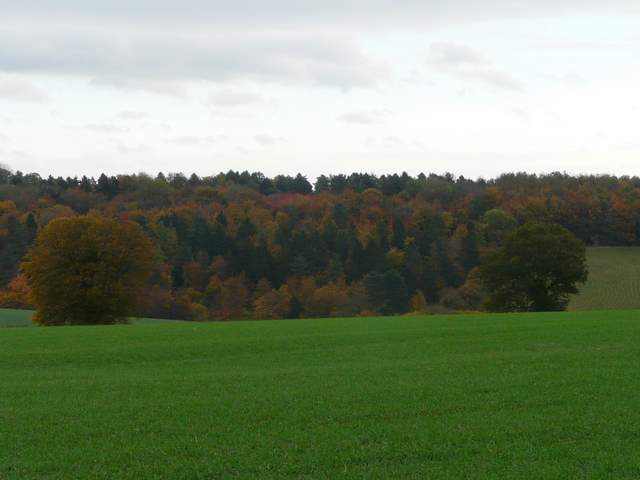
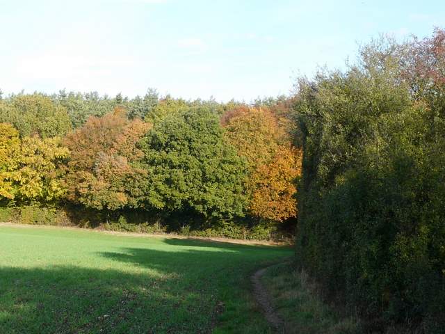
Some nice autumn colours, looking north
The path past Bower Farm
We walked a few yards left along the road through Chesham Vale, before taking a bridleway on the right. This followed a good track between hedgerows to reach Flamstead Farm, from where a narrower bridleway led the short distance north to Hog Lane on the western edge of Ashley Green. A field path on the other side soon took us to Hockeridge Wood, where I decided to follow the footpath straight through the wood, rather than turn right and follow paths round the eastern edges of the wood as I did on the only previous time I came this way. Unfortunately, there did not seem to be any waymarks in the wood indicating where the rights of way went (there were fingerposts or waymarks on the edge of the wood, but none at the various junctions within the wood), so it needed a bit of guess work to make our way to the northernmost corner of the wood (basically we just needed to go straight on, or as close as possible, at each junction). We did arrive at the lane we were aiming for, but must have missed a junction just a little earlier (though neither of us remember seeing one), as we came out at a footpath sign a little east of the one I'd meant to use.
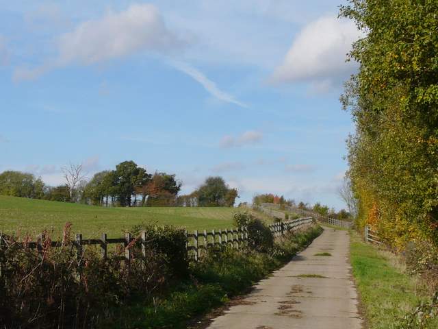
The bridleway to Flamstead Farm
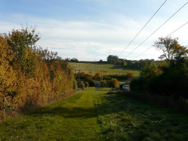
The bridleway from Flamstead Farm to Ashley Green
Approaching Hockeridge Wood
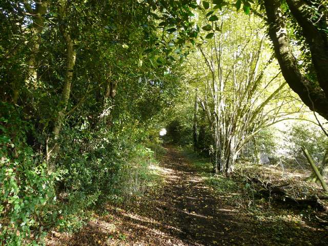
The path through Hockeridge Wood
The path through Hockeridge Wood
After going right a short distance along the lane, we turned left along a cement farm track, running parallel to the A41 dual carriageway a few yards to our right. A bridleway then went west (left) following a hedgerow through several large fields of stubble. After a few hundred yards the bridleway switched to the left of the hedgerow before switching back to the right just before reaching the edge of a wood called Cock Grove and Marlin Chapel Farm.
The farm track next to the A41
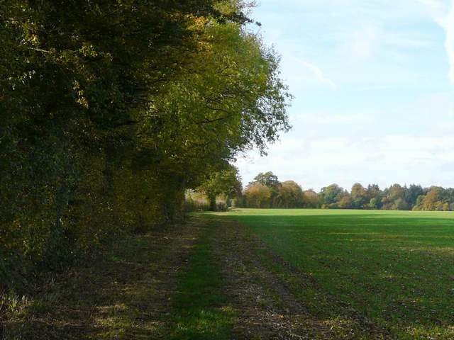
The bridleway going west, away from the A41, towards Marlin Chapel Farm
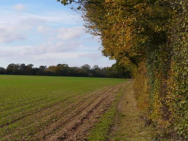
The bridleway going west, away from the A41, towards Marlin Chapel Farm