Pete's Walks - Circular walk from Ewelme (page 2 of 5)
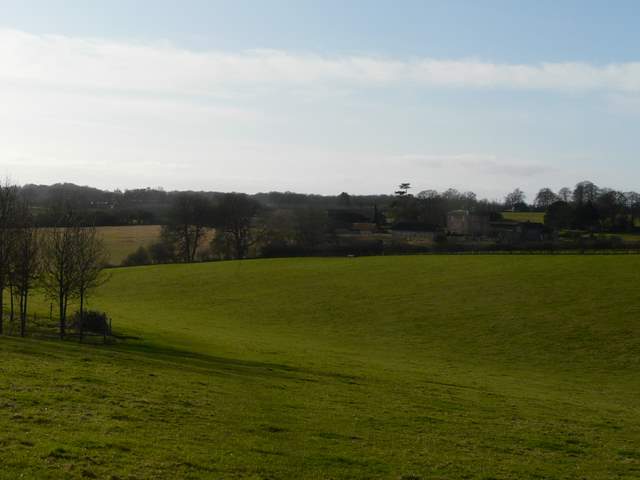
Eventually the bridleway reached a farmyard by Ewelme Place, where I turned right and passed the grand house itself. I was now on the route of the Ridgeway, heading south with occasional views westward to the Oxfordshire Plain (unfortunately dominated by the hideous monstrosity that is Didcot Power Station).
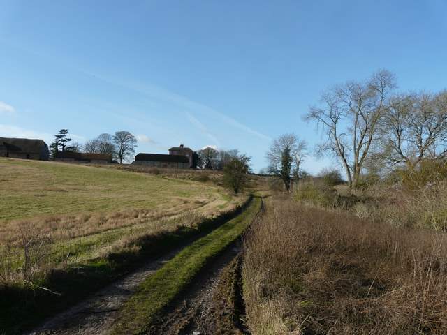
The bridleway approaching the farm at Ewelme Park
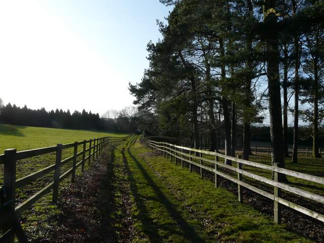
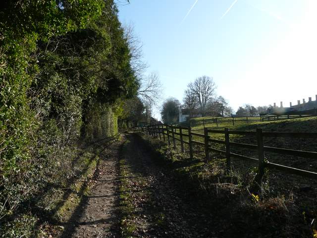
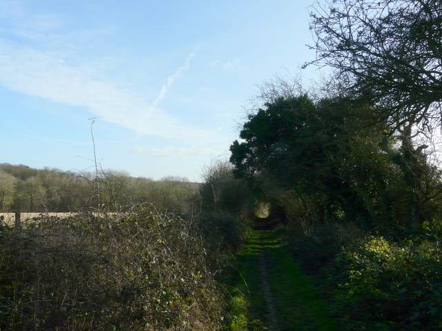
The Ridgeway going south from Ewelme Park
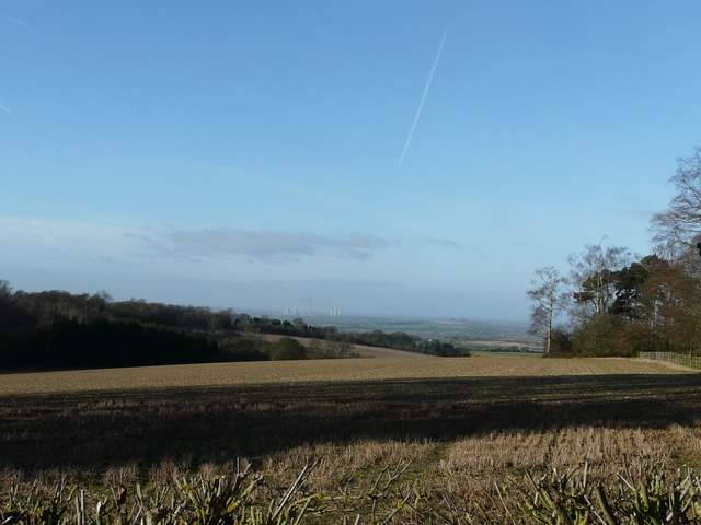
View westwards from near Ewelme Park
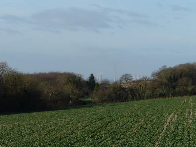
Close-up shot looking west towards Didcot Power Station, from the Ridgeway south of Ewelme Park
After about half a mile, beyond a large field of some type of root crop, I reached a narrow belt of trees. Here I turned left, briefly joining a section of the southern extension of the Chiltern Way running through the tree belt and on along the northern edge of Hazel Wood. At the next path junction I turned right, following a path south just inside the edge of the wood, then along the edge of a field with a Young Offender Institution to my right. I then came to Park Wood (I was now in Nuffield), where I turned left - I remembered this wood being full of bluebells when I did this walk the other way round last April.
The Chiltern Way going northwest towards Hazel Wood
The Chiltern Way going northwest on the northern edge of Hazel Wood
Start of the the path south on the eastern edge of Hazel Wood
The path continuing past the young offenders institute
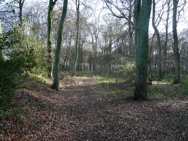
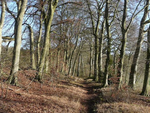
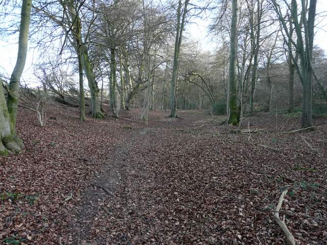
The path in Park Wood
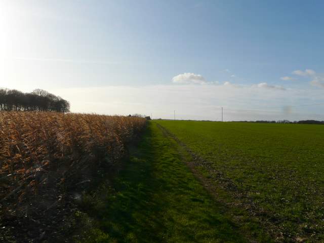
On the far side of Park Wood I turned left along Huntercombe End Lane. After two or three hundred yards, I turned right onto a path going southwest. I passed a patch of maize on my left here, as the path took me to the A4130 main road. On the other side a drive led past some cottages and on to Hayden Farm, a track continuing south beside a right-hand hedge. In the next field corner I ignored a crossing bridleway but made a spur of the moment decision to vary from the route I walked last time - the footpath forking slightly right and going gently down hill across a huge empty pasture just looked too inviting, and pleasanter than the hedge-side paths I walked last time (I have shown this as Alternative 2 on the Google map). On the far side of the pasture I rejoined my planned route, and turned right along a farm track. I soon went left to pass English Farm (on my right) and reached a track called English Lane, where I went left.
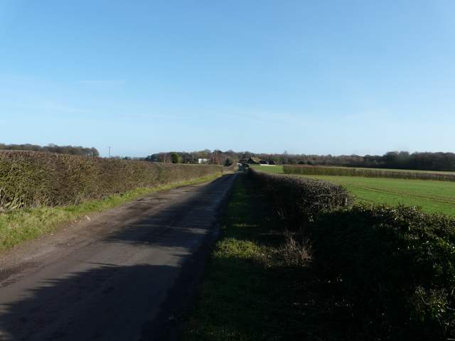
Huntercombe End lane
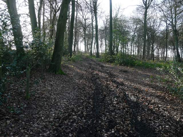
The path going southwest from Huntercombe End lane
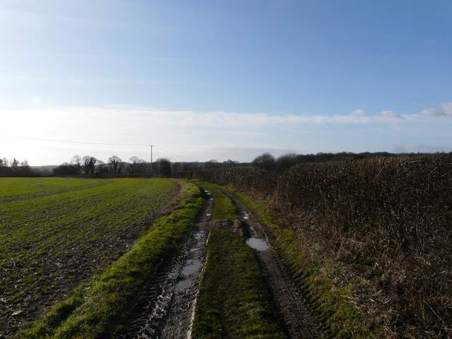
The bridleway south of Hayden Farm
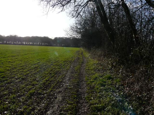
The path across the large pasture, heading towards English Farm (Alternative 1 on my Google map)
Approaching English Farm
Near the start of English Lane (a public byway)