Pete's Walks - Whiteleaf Hill and Loosley Row (page 1 of 3)
If you are considering walking this route yourself, please see my disclaimer. You may also like to see these notes about the maps and GPX files.
Google map of the walkDownload GPX file of the walk
I did this walk of about 7 miles on Saturday, 24th March, 2012. After finishing this walk I continued with a 6-mile walk from Whiteleaf Hill to Little Hampden and back, so that in all I walked 13 miles. I chose to split it into two shorter circular walks, as I'd been having a problem with my left leg and so wanted to be able to cut the walk short if it played up.
It was about 9.45am as I set off from the car park on Whiteleaf Hill (grid reference SP 823036), taking the path out of the end of the car park and turning right. I'd had a quick look at the information board in the car park, and as a result as I walked along part of the Ridgeway northwards I spotted some practice trenches from the First World War just to the right of the path (I knew they existed on Whiteleaf Hill but hadn't seen any of them before, not knowing their exact locations). Before reaching the open grass area at the top of the hill, I turned right on a bridleway that ran eastwards, just inside a beech wood sloping down to my left, with a field a few feet to my right. The map is marked 'The Hangings' to the left of this bridleway, but I'm not sure if that is the name of the wood or the valley. I kept right, close to the field, when I came to a narrow fork in the public right of way.
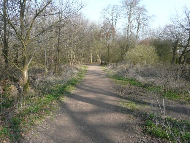
The Ridgeway, heading from the car park towards Whiteleaf Hill
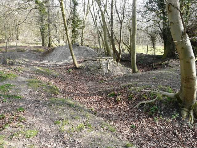
First World War practice trenches, beside the Ridgeway on Whiteleaf Hill
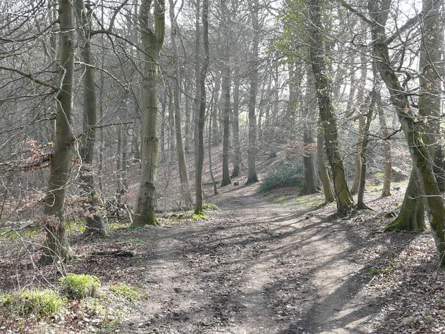
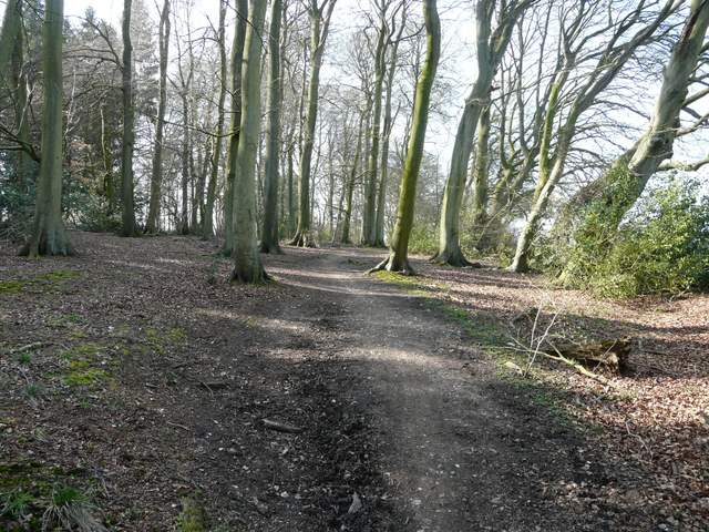
The bridleway going east from Whiteleaf Hill, past The Hangings on the left
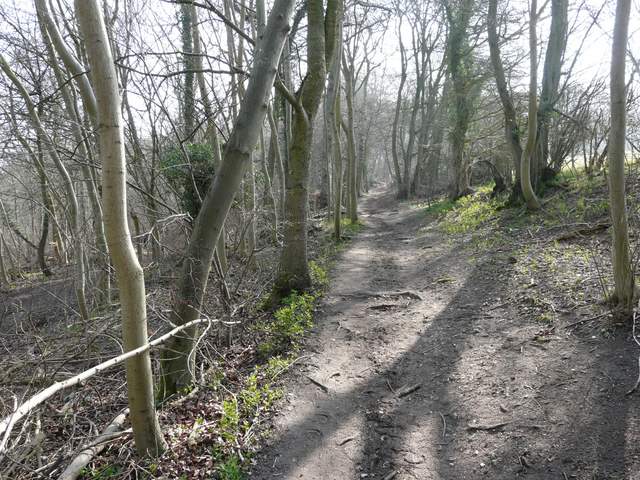
The bridleway going east from Whiteleaf Hill, past The Hangings on the left
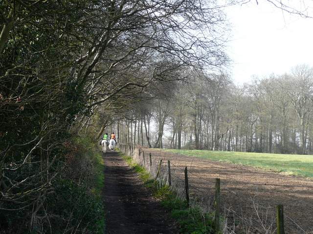
When I eventually reached a corner of the field to my right, I turned right at a path crossroads, and followed a path just inside the edge of Sergeant's Wood. At the corner of the wood, where I saw my first Coltsfoot of the year, I turned left along a bridleway on the southern edge of the same wood. I met a couple of horse riders coming the other way, and one of the horses was very nervous about passing by me. I next turned right again, just after the end of the field on my right, and followed a path through the edge of Kingsfield Wood. As I then approached a minor road, via a garden and drive, I saw the same two horse riders pass by, and I followed them as I turned left along the road.
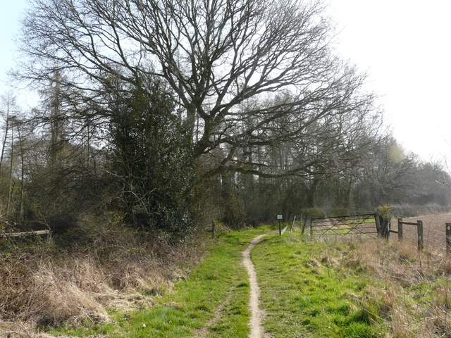
The bridleway along the western edge of Sergeant's Wood
The bridleway along the southern edge of Sergeant's Wood
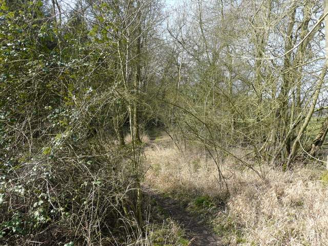
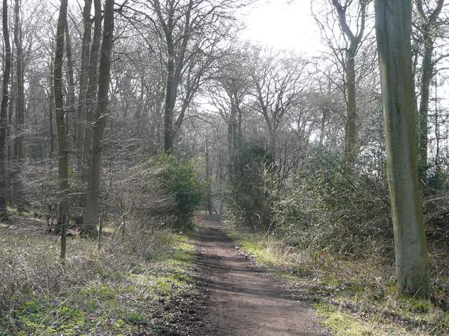
The path along the north-western edge of Kingsfield Wood
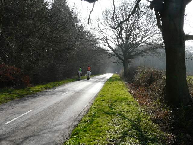
The short road section, Kingsfield Wood on the left
After maybe a quarter of a mile I took a bridleway on the right, still following the two riders. The bridleway followed the edge of a field on my right, then turned left to head south through Hillock Wood, with the steep Chiltern escarpment dropping away to my right. Occasionally there was a view out over the Vale of Aylesbury. The bridleway ended in the hamlet of Parslow's Hillock, where I followed a drive a few yards left to the road, close to the Pink and Lily pub (noted for its connection to the poet Rupert Brooke).
Bridleway on the north-western edge of Hillock Wood
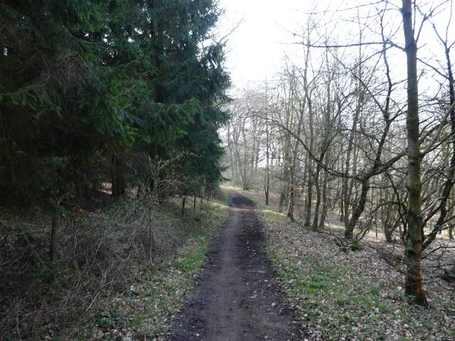
The bridleway through Hillock Wood to Parslow's Hillock
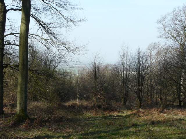
Looking west over the Vale of Aylesbury from the bridleway to Parslow's Hillock
The bridleway through Hillock Wood to Parslow's Hillock
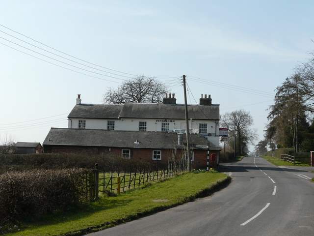
The Pink and Lily pub, Parslow's Hillock