Pete's Walks - Whiteleaf Hill and Loosley Row (page 2 of 3)
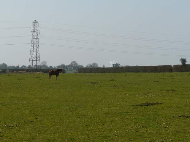
I turned right and then left by the pub and headed down Lily Bottom Lane - I spotted a solitary Wood Anemone here, my first of the year. After almost half a mile I turned right on to part of the Chiltern Way (which I'd now follow for a couple of miles) - here it was on a bridleway along part of the course of an ancient earthwork called Grim's Ditch. After a hundred yards or so I took a path forking right across the corner of a field of green corn to a stile, beyond which the path continued across a huge horse field. I spotted two buzzards in the skies to my right here.
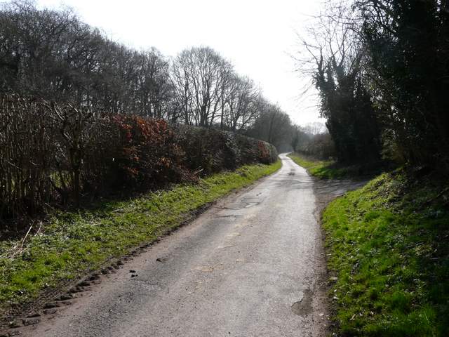
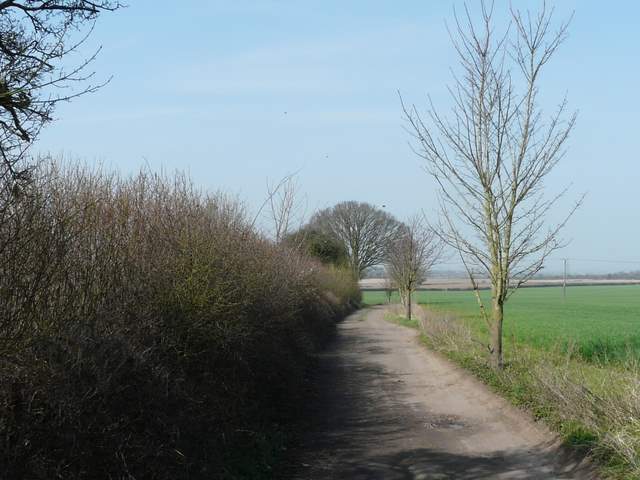
Lily Bottom Lane
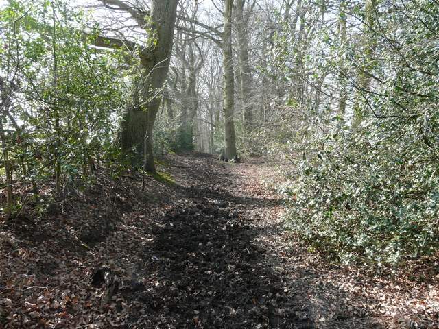
The Chiltern Way going south from Lily Bank Farm, along the line of Grim's Ditch
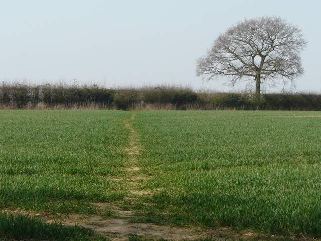
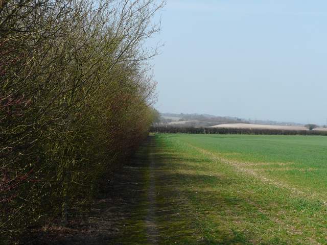
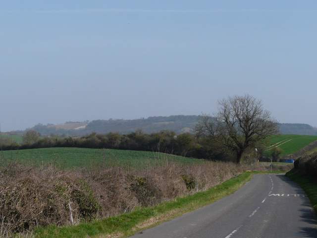
The Chiltern Way going southwest towards Lacey Green
The Chiltern Way going southwest towards Lacey Green
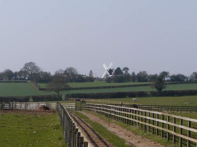
Beyond a gate in the corner of the field, a track led between the wooden fences of some paddocks, and then the path went half-right across part of the last paddock. The path then continued across part of another green corn field and alongside a hedge, before running alongside a hedge through an empty pasture to reach Lacey Green close to its prominent windmill.
The Chiltern Way going southwest towards Lacey Green
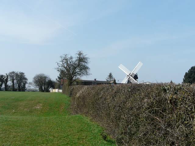
The Chiltern Way approaching Lacey Green
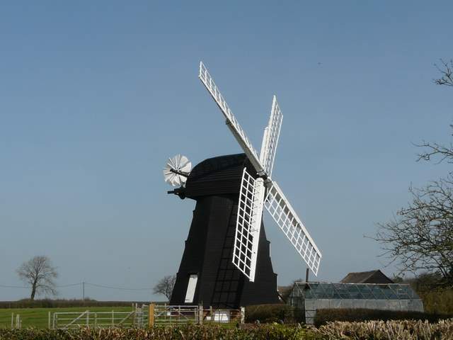
Lacey Green windmill
I went down a road almost opposite the windmill, then turned right at a crossroads - I was now in the adjoining village of Loosley Row (I identified my first butterfly of the year here, a Brimstone). A footpath on the left led downhill to Collin's Farm, with a track going on down into the broad Saunderton Valley (probably the biggest gap in the Chiltern escarpment). As I followed the track westwards, I spotted a Red Kite over the field on my right - I stood still as it flew towards me and made eye contact with it as it twice circled low directly over my head - apparently I didn't look edible, as it then glided away gracefully. A little further on the right of way left the track, going a few yards left almost to a lane, before turning right (more Coltsfoot here), crossing the track and following a left-hand hedgerow to reach the Wycombe Road (A4010).
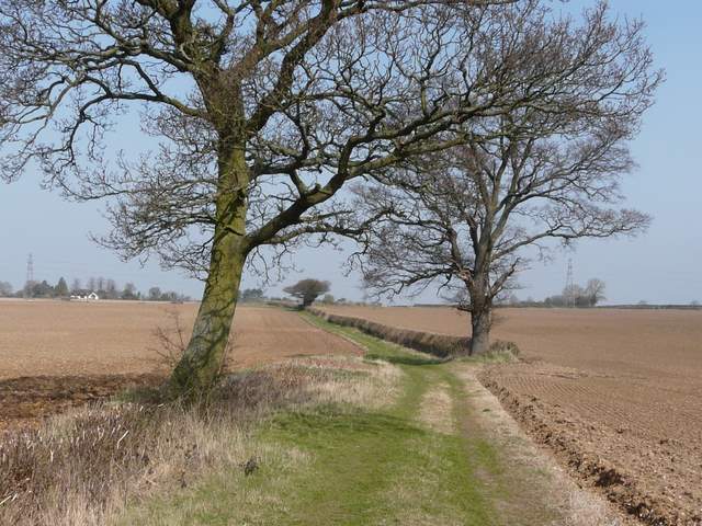
The track going west from Collin's Farm
The track going west from Collin's Farm
The path going West from Collin's Farm
Across the road a path continued across a very large ploughed field - the farmer was currently harrowing the field, so halfway across the clearly marked path disappeared. I just walked straight on ahead to an obvious white-topped post on the far side. I then turned right on a bridleway (this was the only section of this walk that was new to me), a pleasant grassy track following a hedgerow between large ploughed fields. The bridleway ended at a lane where I turned right, rejoining the route of the Ridgeway National Trail (which I'd now follow for the rest of the walk). I went straight on at a crossroads to reach the A4010 Wycombe Road again.
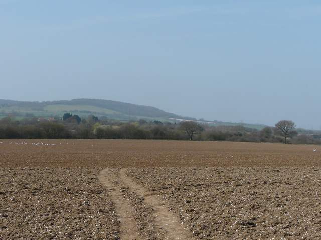
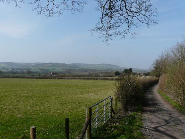
The path continuing west from Wycombe Road (A41010) - The Cop, Bledlow, in the distance. Not the disappearing path - no doubt the farmer will reinstate it after he finishes harrowing the rest of the field, as he'd clearly marked it through the remaining ploughed section of the field.
The bridleway going north, parallel to the A4010
The lane approaching the A4010