Pete's Walks - Whiteleaf Hill and Little Hampden (page 2 of 2)
The bridleway flattened out and finished where a lane ended (it started at Buckmoorend and presumably it once continued to Little Hampden). I continued more or less straight on, southwards towards Little Hampden on a footpath through another wood (I could just as easily have taken a bridleway a little to the right that followed the edge of the wood). At the next junction I turned right (joining that bridleway I just mentioned for a few yards) and then forked left on a path (if I'd gone straight on at the first junction I'd soon have reached The Rising Sun at Little Hampden (Update 22/10/18: sadly this has now closed)). The path soon left the wood and ran to the left of a hedgerow in a ploughed field. After a while the path switched to the right of the hedge, and near the bottom of a slight dip it turned left into Widnell Wood.
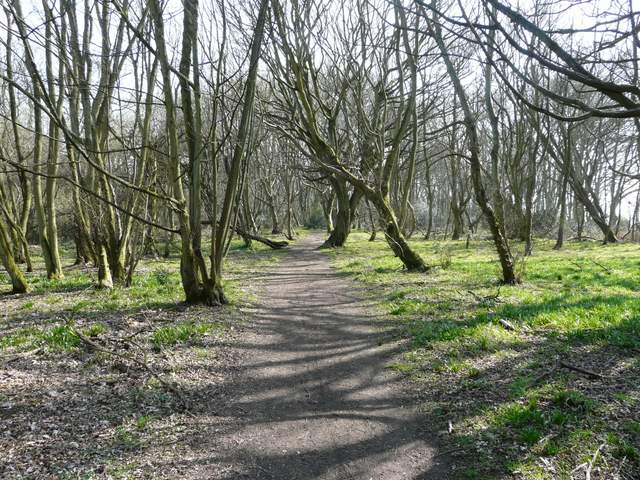
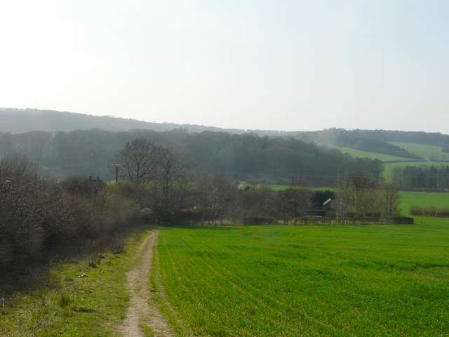
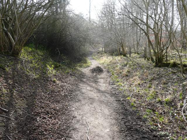
The footpath going southeast towards Little Hampden
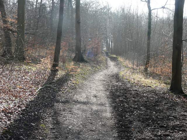
The footpath northwest of Little Hampden, heading towards Widnell Wood
The footpath northwest of Little Hampden, heading towards Widnell Wood
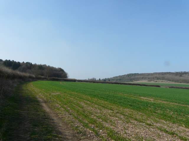
The footpath northwest of Little Hampden, heading towards Dirtywood Farm
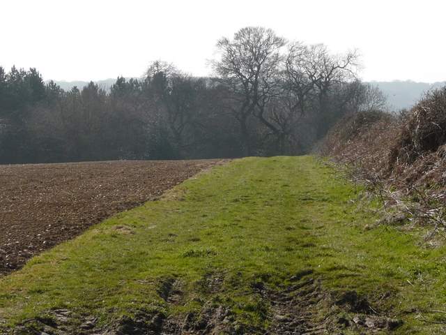
I kept left at a fork in the path in the wood, and on leaving the wood I followed a hedge on my left downhill (Chequers was soon visible again away to my right). I soon had to skirt round Dirtywood Farm, before following its drive down to a minor road (the same one I'd crossed earlier at Buckmoorend). Across the road I continued along the tarmac drive towards Solinger House, but left it when it turned sharply left. A footpath now led on along a left-hand hedgerow for some distance. I passed Cross Coppice on my left, then went through two hedge gaps to continue beside another left-hand hedge (the map shows the path cutting slightly across the field).
Approaching Dirtywood Farm
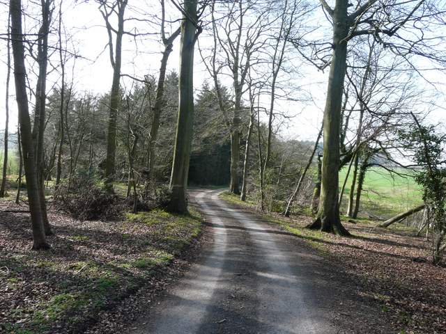
The drive to Solinger House
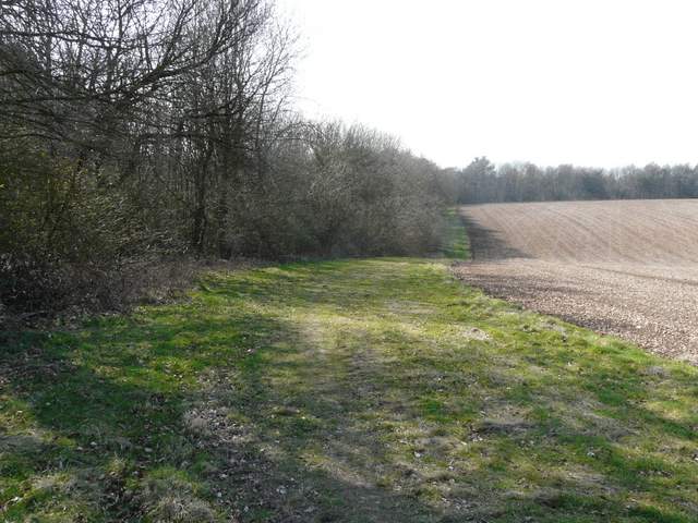
The path going west to Ninn Wood - the wood on the left t is Cross Coppice
The path then followed what seemed to be a sunken lane or 'hollow way' for a few yards to reach a crossing bridleway where I turned left - I was now just inside the south-eastern edge of Ninn Wood. I kept straight on at a rather complicated path junction, now with Sergeant's Wood on my left. At a bridleway junction by the corner of a field I turned right, this bridleway running through a nice area of beech trees with The Hanging (not sure if that's the valley or the wood) just to my right. The bridleway ended back on the Ridgeway at Whiteleaf Hill, where I turned left and retraced my earlier footsteps the short distance back to the car park.
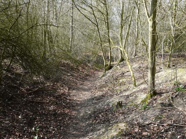
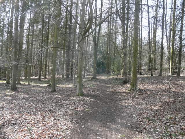
The sunken lane leading into Nim Wood
The bridleway going southwest close to the edge of Ninn Wood
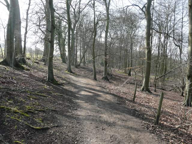
The bridleway continuing through Sergeant's Wood
The bridleway south of The Hangings

The bridleway south of The Hangings
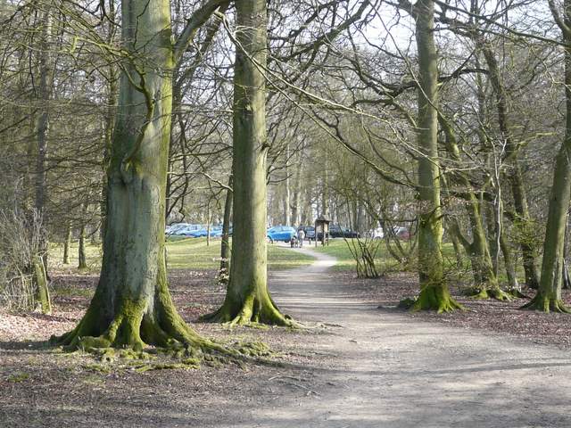
Arriving back at the Whiteleaf Hill car park
This very pleasant 6 mile walk had taken about two and a quarter hours. There had been some very good views, a large proportion of woodland walking interspersed with some field paths, and lots of historic interest. It had been a beautiful Spring afternoon, and seeing butterflies and wildflowers again greatly added to my enjoyment on this particular day. But I'm sure it would be a very good walk at any time of year. It can easily be combined with a 7-mile walk from Whiteleaf Hill to Loosley Row and back, to form an enjoyable 13-mile walk.