Pete's Walks - Old Amersham and Beaconsfield (page 1 of 4)
If you are considering walking this route yourself, please see my disclaimer. You may also like to see these notes about the maps and GPX files.
I did this roughly 13.5 mile walk on Sunday, 1st April 2012. It was a repeat of a walk I did in January 2011 (itself largely a repeat of the Old Amersham and Beaconsfield walk I did the previous March). I did the walk in the anti-clockwise direction and followed the shorter route between Amersham and Beamond End shown as Alternative 1 on the map.
I parked in the car park in Amersham Old Town (free, as this was a Sunday) and started walking at about 9.50, heading northwest along the very attractive High Street. I passed the church on my left and then the Market Hall, and several old coaching inns. Just outside the town, the pavement went left to run alongside the busy A413 for about 100 yards, before going under that road (sharing the underpass with the river Misbourne) to emerge near the entrance to the grounds of Shardeloes, a large white house (now apartments) on the hillside ahead.
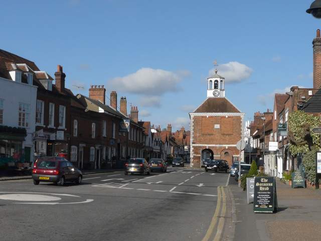
Amersham Old Town, with the Market Hall
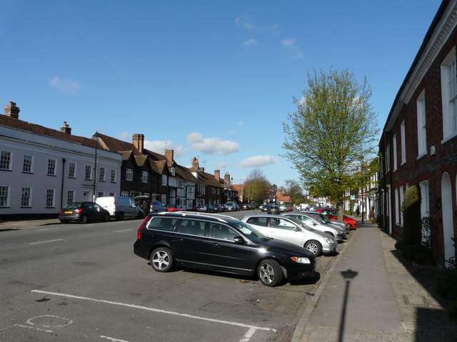
High Street, Amersham Old Town
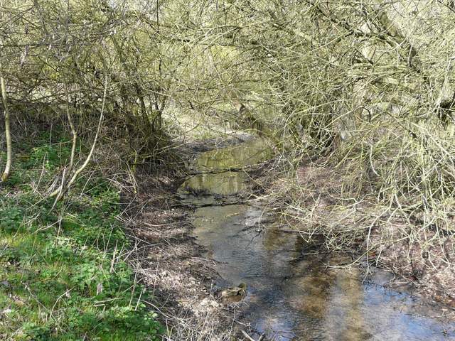
The river Misbourne, by the bridge under the A413
I followed the drive towards Shardeloes for about a quarter of a mile, before taking the rightmost of two paths going off to the left. This path soon followed a line of mature trees, continuing past a wood on the left before following a hedgerow to reach some woods around what is marked as an Electricity Substation on the map.
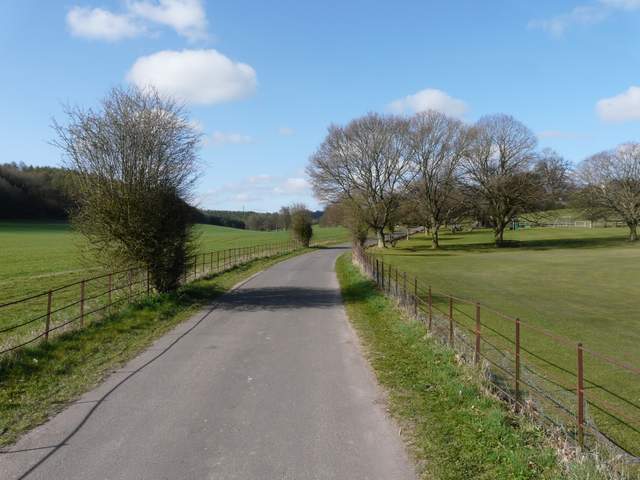
The drive to Shardeloes
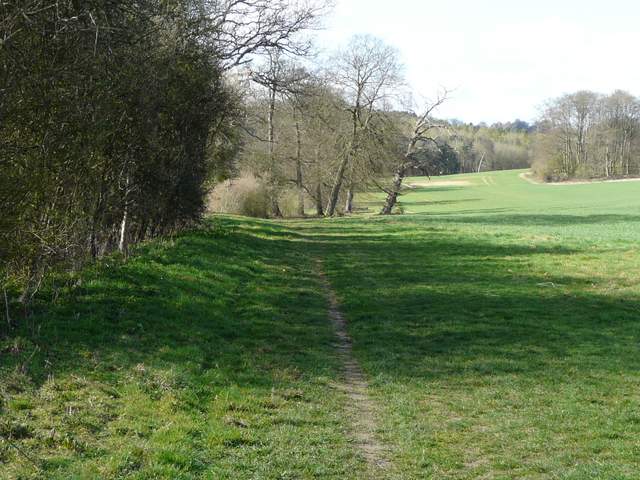
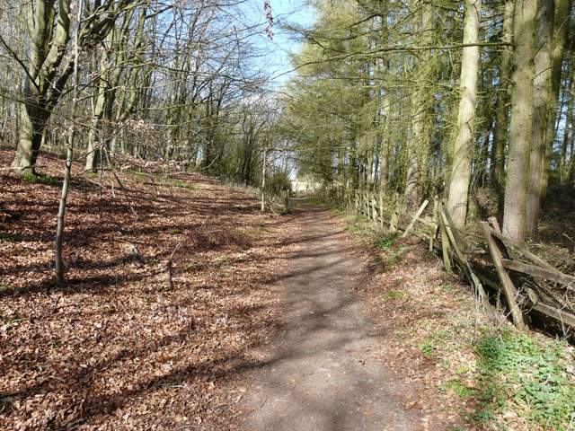
Near the start of the footpath going southwest from the drive to Shardeloes
The footpath going southwest from the drive to Shardeloes
The footpath going southwest from the drive to Shardeloes
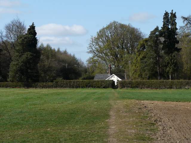
The footpath going southwest from the drive to Shardeloes, looking ahead to the woods around the Electricity Substation
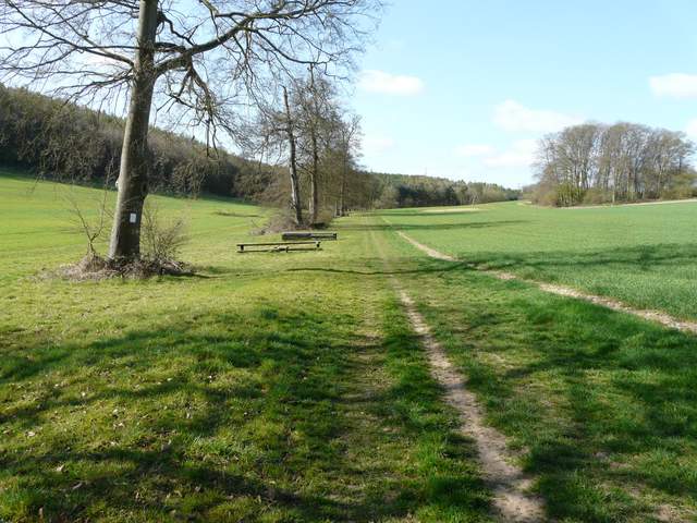
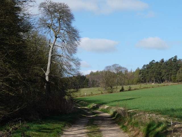
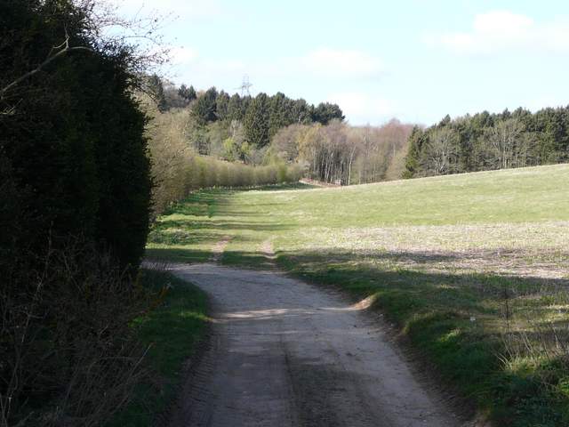
The path continued through the trees, skirting to the right of the Electricity Substation, and then went half-right through a wood named Rough Park on the OS map (presumably part of the Shardeloes estate). I spotted just one or two Bluebells here (I'd see a few more in other woods later on). I next crossed Mop End Lane by Mop End Farm, a path continuing ahead across an arable field to reach Toby's Lane, where I briefly joined the route of the Chiltern Heritage Trail as I then crossed a pasture to reach the hamlet of Beamond End. Here the path continued along a side street, at the end of which I turned left to carefully cross the A404 and enter Penn Wood. I soon reached a three-way path junction, where I took the middle path going half-left.
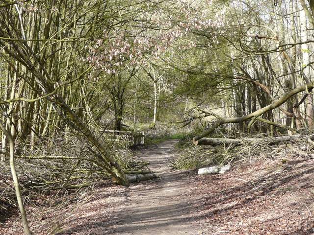
The path through the woods around the Electricity Substation
The path through the woods around the Electricity Substation (behind the bank on the left)
These woods are called The Rough Park on the map, presumably still a part of the grounds of Shardeloes
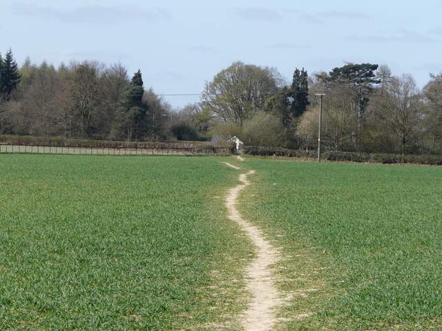
The path from near Mop End Farm to Beamond End
The path from near Mop End Farm to Beamond End
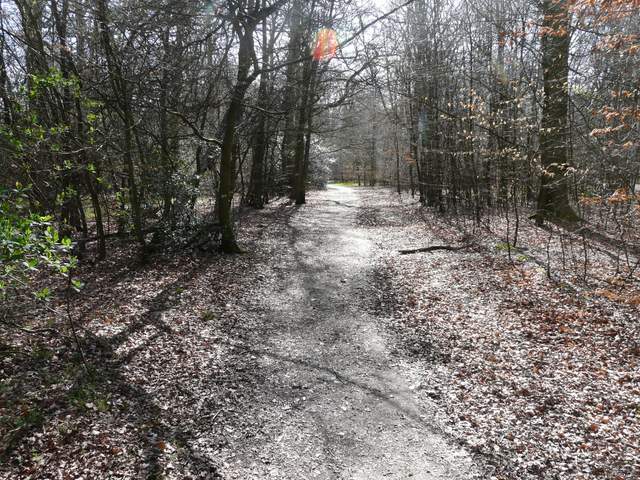
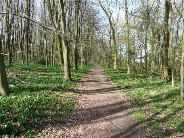
The path through Penn Wood, heading to Penn Street church
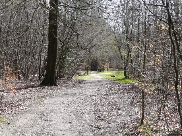
The path through Penn Wood, heading to Penn Street church