Pete's Walks - Stoke Row and Nuffield (page 1 of 4)
If you are considering walking this route yourself, please see my disclaimer. You may also like to see these notes about the maps and GPX files.
Google map of the walkDownload GPX file of the walk
I did this 12.9 mile circular walk on Saturday, 1st September, 2012. It was the reverse of Walk 18 of my Chiltern Chain Walk, this time I was walking in the clockwise direction.
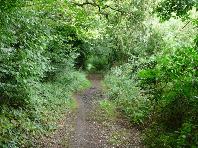
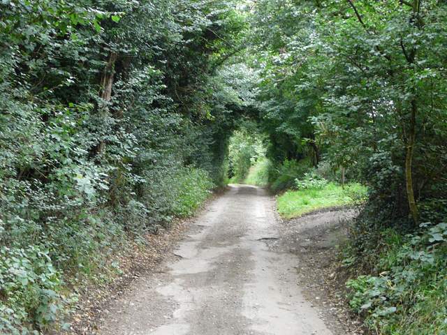
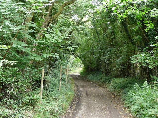
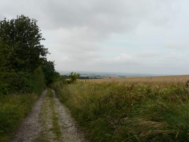
I started walking about 10.20am, heading north out of Stoke Row along Cox's Lane (which starts about a quarter of a mile east of the Maharajah's Well). This was a surfaced lane as far as Stokerow Farm, beyond which it was a hedge-lined bridleway, now heading northwest. The tall hedges either side generally prevented any views, but it was an overcast morning anyway so if there had been any views they would not have been at their best. The bridleway was surprisingly muddy, and I had to brush past nettles in a few places. After about a mile I passed a cottage on the right, and then there was an area where there were numerous skips.
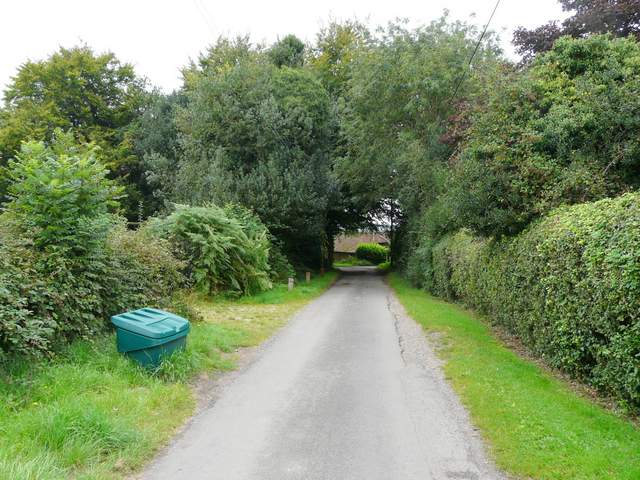
The start of Cox's Lane, Stoke Row
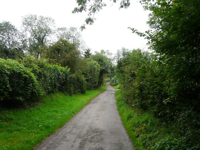
Cox's Lane
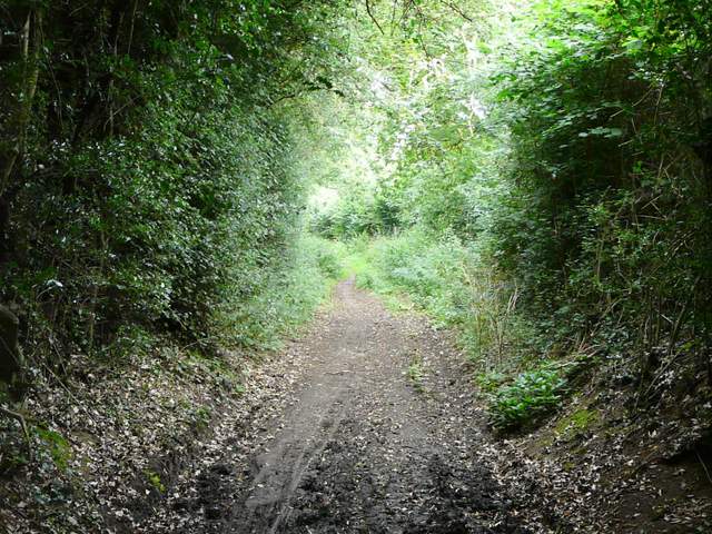
Rather muddy section of Cox's Lane
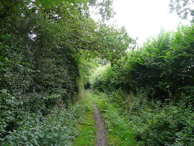
Cox's Lane
Cox's Lane
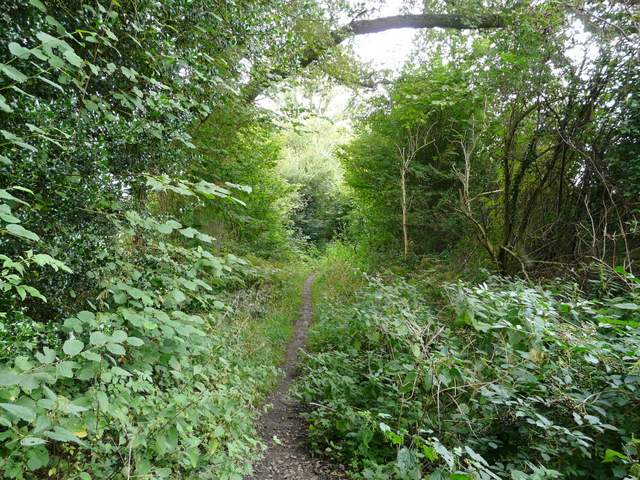
Cox's Lane
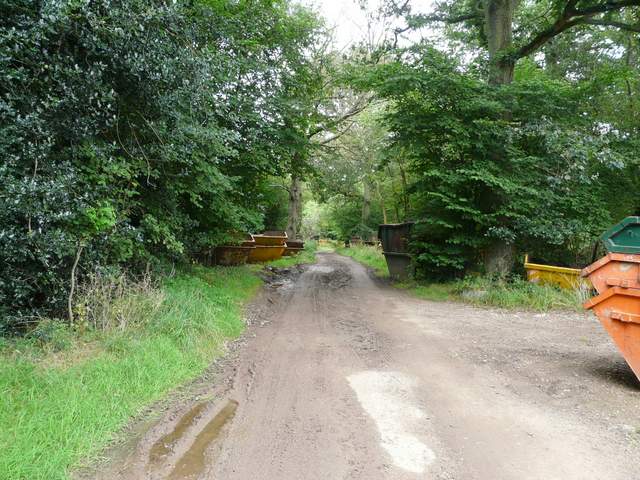
Some of the skips near the end of Cox's Lane
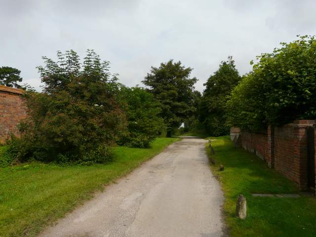
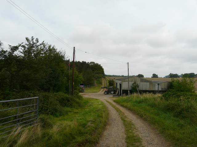
I crossed over a minor road and continued down the long surfaced drive to Homer Farm. This was initially through the woods of Ipsden Heath and then between tall hedges, so again there were no views to be had. Beyond Homer Farm a byway continued, curving northwards and then westwards. I finally got a partially-obscured view out towards the Oxfordshire Plain as I passed a wood called Little Common on the OS map. The byway continued through Bixmoor Wood, and after this I had views ahead towards the Oxfordshire Plain, although they were restricted by the rather grey and murky weather conditions.
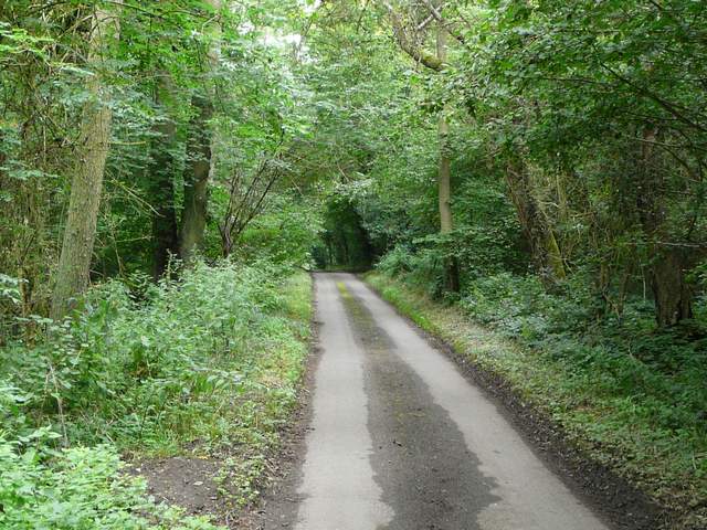
Near the start of the drive to Homer Farm
The drive to Homer Farm
The byway from Homer Farm to Hailey
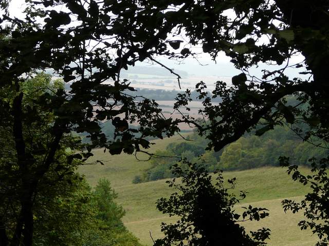
A first glimpse towards the Oxfordshire Plain, from the byway from Homer Farm
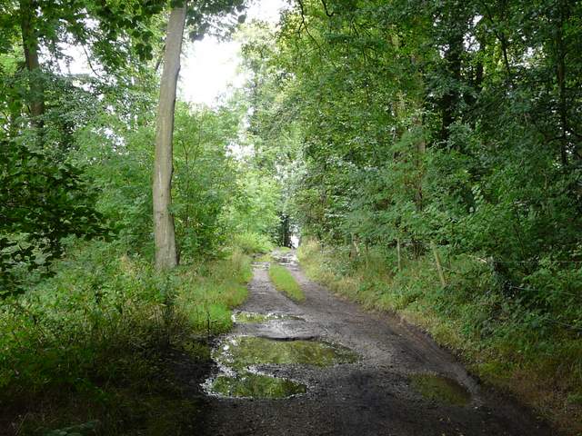
The byway from Homer Farm to Hailey, in Bixmoor Wood
The byway from Homer Farm to Hailey, shortly after Bixmoor Wood
There were soon hedges either side of the byway again, as it gently descended towards the hamlet of Hailey. Just before reaching Hailey, my route joined a part of the Chiltern Way (it came in from my left, from Well Place). I passed The King William pub, and a hundred yards or so later turned right into Poors Lane. This was initially a surfaced lane, but on leaving the hamlet behind became a gravel farm track which led me to Poors Farm, where I spotted a Red Kite flying low over the farmyard.
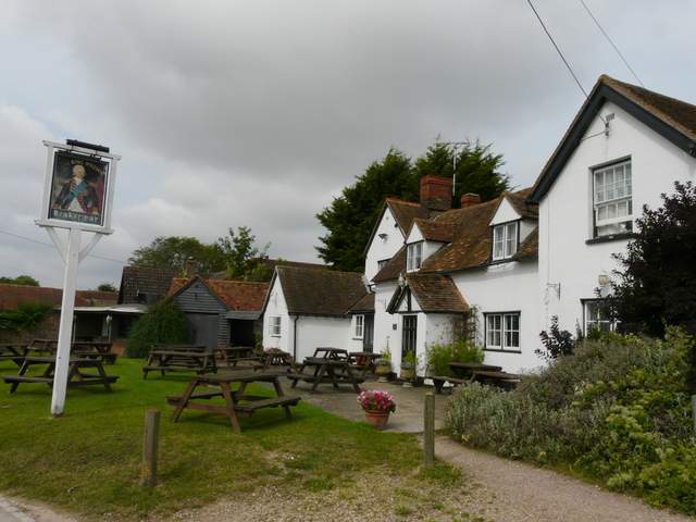
The King William pub, Hailey
View south from Hailey
The start of Poors Lane, Hailey
Poors Lane passing Poors Farm