Pete's Walks - Stoke Row and Nuffield (page 2 of 4)
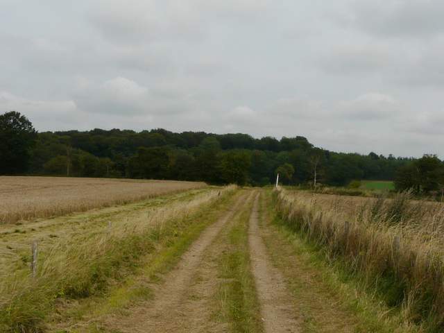
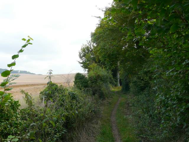
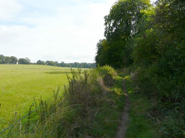
From Poors Farm the farm track continued northwards, with views on my left over the extensive Oxfordshire Plain. When the track turned sharp right, a path continued ahead across a field, before passing through Wicks Wood to reach Woodhouse Farm. Here I turned left and followed the farm drive to a lane (the OS map indicates that the lane hereabouts follows the course of the ancient Icknield Way). I turned right, and followed the lane for about a quarter of a mile to where it was crossed by the ancient earthwork of Grim's Ditch.
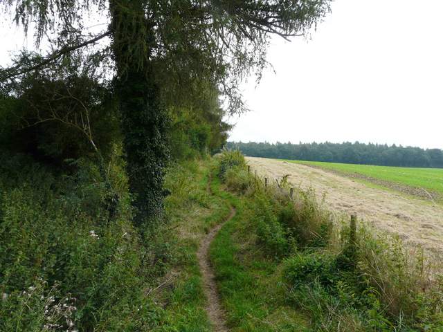
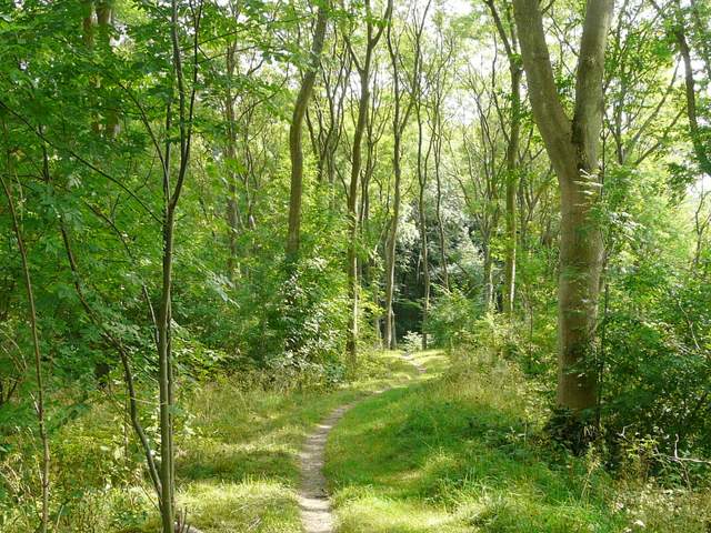
The path from Poors Farm to Woodhouse Farm
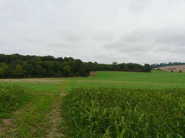
The path from Poors Farm to Woodhouse Farm, heading towards Wicks Wood
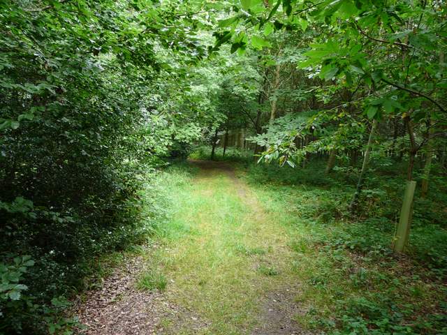
Wicks Wood
The drive from Woodhouse Farm
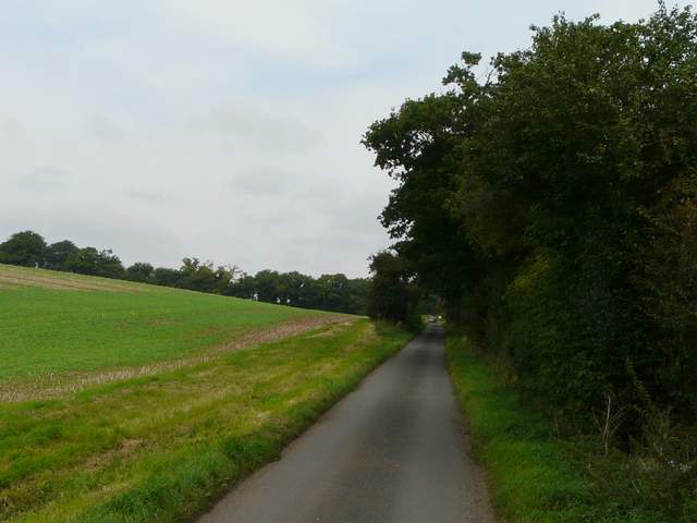
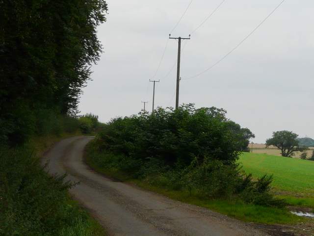
The short section of lane walking, along the Icknield Way
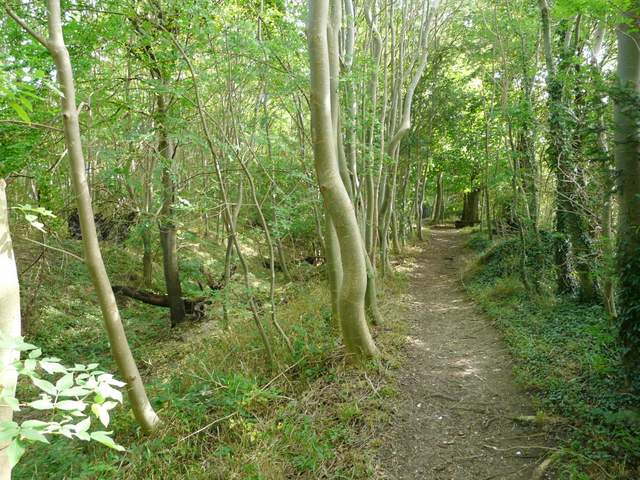
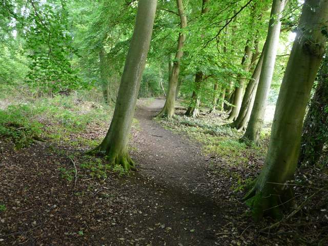
Leaving the Chiltern Way, I now joined a section of the Ridgeway national trail as I turned right and followed a path alongside Grim's Ditch (which I'd now follow for about two miles). I well-remembered the half dozen or so Pine trees along the initial section, as they are a most unusual hedgerow species in this part of the country. The path continued through Oaken Copse, with the earthwork here clear as a large bank on my left.
There are several ancient earthworks called Grim’s Ditch (alternatively Grim’s Dyke or Grimsdyke) in the chalk hills of southern England, and also in Yorkshire. Their exact age and purpose are unknown, though they are thought to be too small to have been military defences and so were most probably some type of boundary. They are thought to pre-date the Saxons, who supposed these extensive earthworks were the work of their god of the underground, hence the name. The earthwork here extends for about five miles from Mongewell on the Thames to near Nettlebed, and is believed to date from the late Iron Age/early Roman period.
Near the start of the section along Grim's Ditch
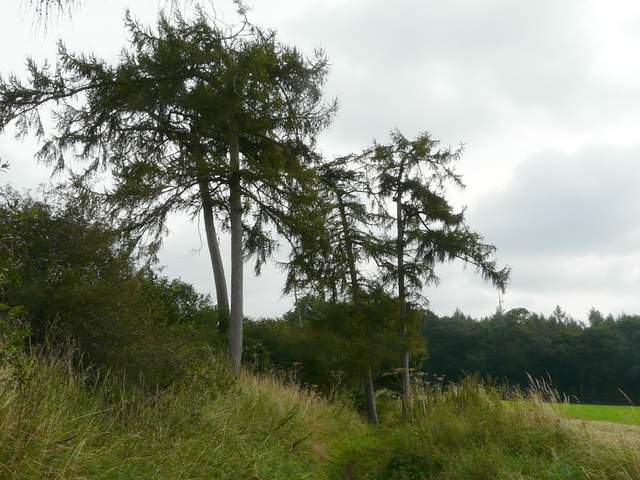
Near the start of the section along Grim's Ditch
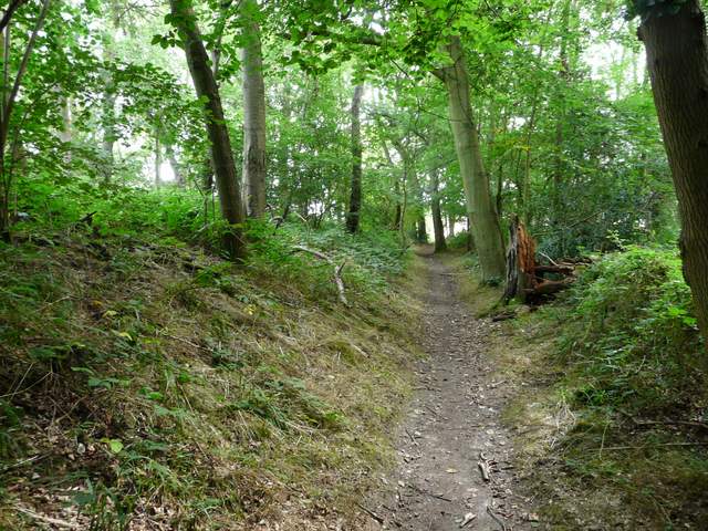
Oaken Copse
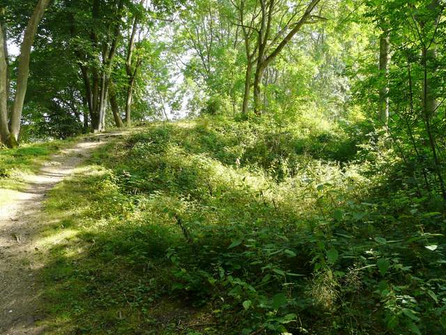
The path continued between hedgerows for a while, gradually climbing Bachelor's Hill and then entering a thin tree belt. Here the earthwork took the form of a deep ditch on my left. The sun had now broken through the cloud cover, and it was quite warm and occasionally sunny. After some distance, by a stile and a kissing-gate, the path switched to the left of the ditch. Further on, the path ran for a short distance along the bottom of the ditch. I passed the gate to a house (name Woodlands on the map), where there was a water tap. The earthwork was less obvious now as the path continued its dead straight line almost due east, with pastures over a fence on my left. The path then re-entered the tree belt, before reaching a path T-junction. Here I left Grim's Ditch and turned left for Nuffield.
The section along Grim's Ditch, starting to climb Bachelor's Hill
The section along Grim's Ditch - you can see the ditch on the left
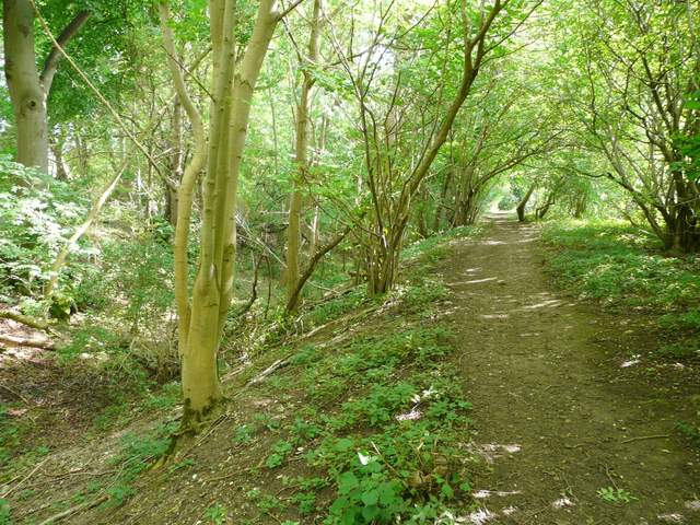
The section along Grim's Ditch - you can see the ditch on the left
The section along Grim's Ditch - here the path switches to the left of the ditch
The section along Grim's Ditch
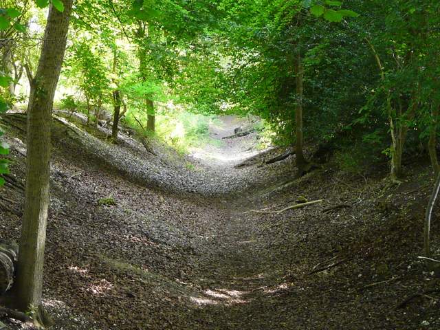
The section along Grim's Ditch - here the path is briefly along the bottom of the ditch
The section along Grim's Ditch
Almost at the end of the section along Grim's Ditch