Pete's Walks - Stoke Row and Nuffield (page 3 of 4)
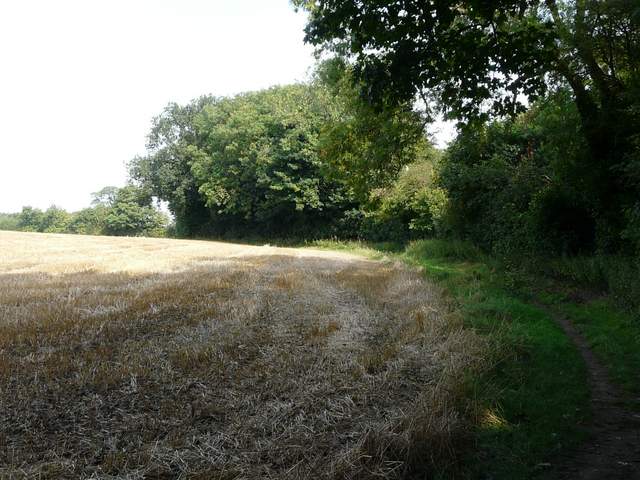
The new path ran through another tree belt for a short distance, then followed the right edge of a field of stubble, with views left to the Oxfordshire Plain once more. At the end of the field I turned right along a lane into Nuffield, the highest village in Oxfordshire. Just after passing the ancient village church on my right, I took a path going half-left that crossed a meadow (more views of the Oxfordshire Plain) to reach a golf course. I'd always assumed this would be Nuffield Golf Club, but I've just discovered it is actually Huntercombe Golf Club and it has a very interesting history - Ian Fleming was a member here for many years and so was his creation, James Bond! The path through the golf course (still part of the Ridgeway) was clearly marked by white posts - the car park by the club house was almost full, yet I didn't see a single golfer as I crossed three or four fairways (it was almost 1pm, so I assume they were all having lunch). On leaving the golf course the path ran in front of some cottages and reached the A4130 main road.
At 700 feet above sea level, Nuffield sits at the highest point in the southern Chilterns. It was the home from 1933 to 1963 of William Morris, 1st Lord Nuffield, founder of the Morris Motor Company and the philanthropist behind the Nuffield Foundation (which promotes education and social welfare). He also founded Nuffield College, Oxford. His home at Nuffield Place is open to the public. He was buried in the village church, parts of which are thought to date back as far as 640AD (though most of it is a mere 900 years old!). It has a simple stone font, which may possibly be Saxon.
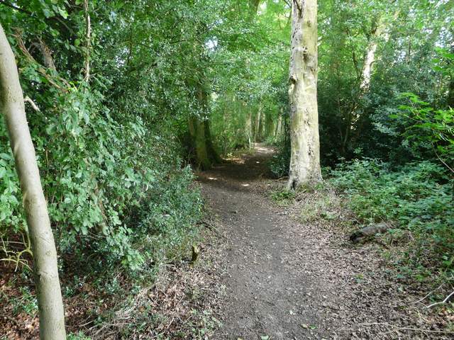
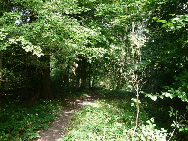
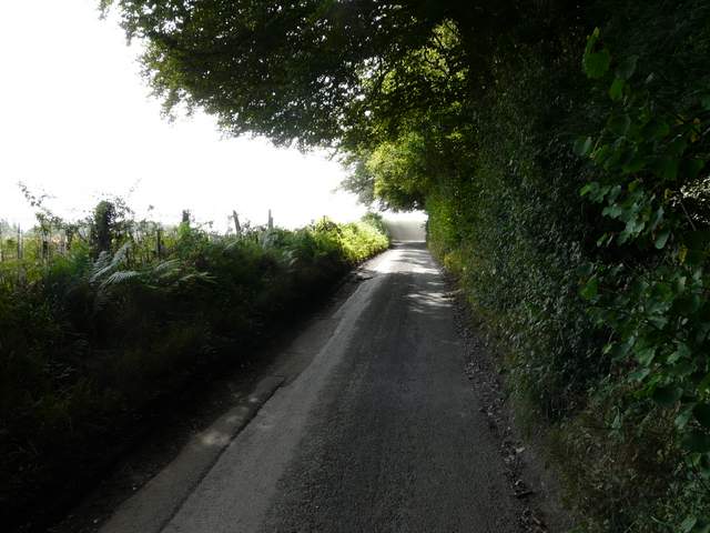
The path from Grim's Ditch to Nuffield
The path from Grim's Ditch to Nuffield
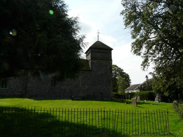
Nuffield church
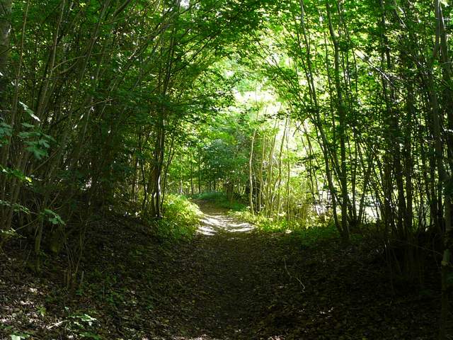
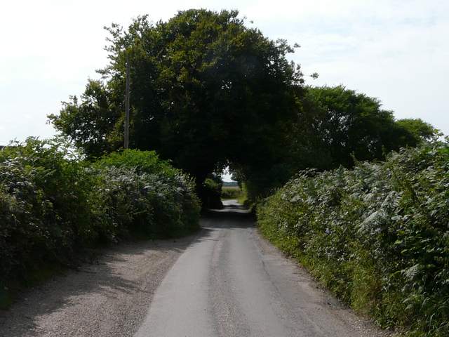
The path to Huntercombe golf club
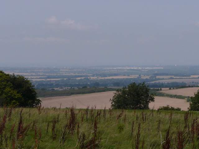
Looking northwest to the Oxfordshire Plain

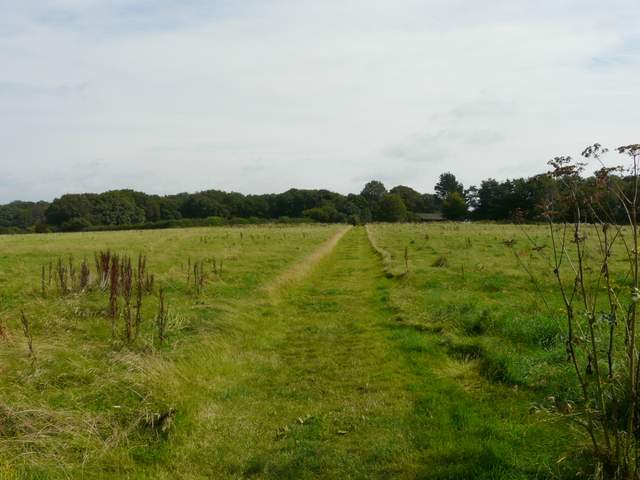
The footpath across Huntercombe golf course
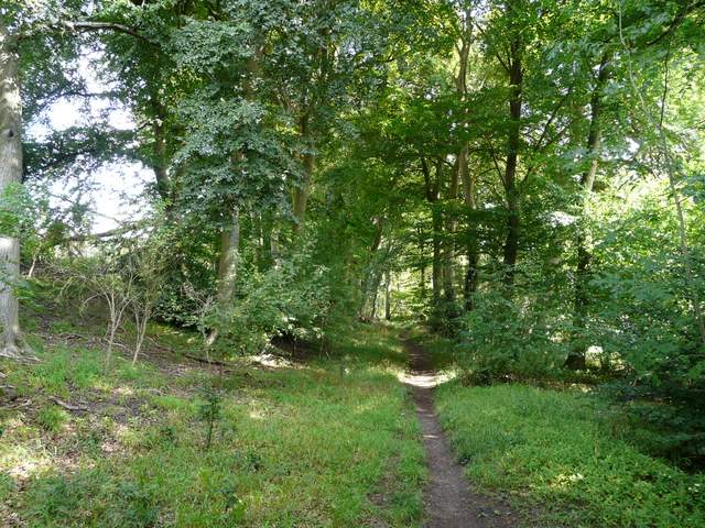
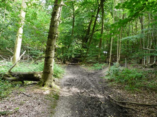
Across the road the Ridgeway continued through Coneygear Wood, descending slightly and then descending further across an arable field. On the far side, I left the Ridgeway and turned right, following a long bridleway through a tree belt heading eastwards towards Park Corner. I soon stopped to eat my sandwiches whilst sitting on a convenient tree trunk, before carrying on. The bridleway was quite muddy in places, especially further on as I passed through Hazel Wood.
Coneygear Wood, across the A4130
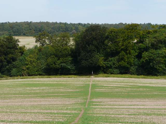
The path continuing from the wood - the bridleway to Park Corner is in the tree belt in the centre of the shot
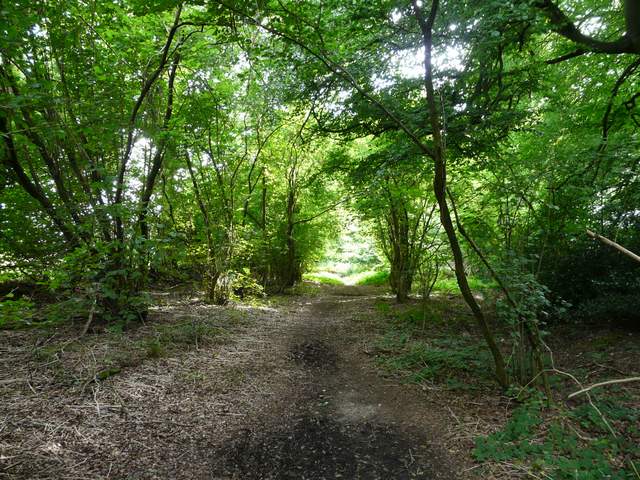
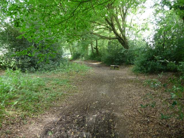
The bridleway to Park Corner
The bridleway to Park Corner
The bridleway to Park Corner
After about three quarters of a mile, just before the bridleway left the wood, I turned right onto Digberry Lane (which was just another bridleway running through trees again). After a quarter of a mile or so, I passed a few cottages, where the bridleway became a surfaced track. At its end, I turned right along Huntercombe End Lane. I soon had to pass through a dust cloud thrown up by the combine harvester in the field over the hedge on the right. On reaching Huntercombe End Farm, I turned left to pass through the stable yard and continued along a track called Bushes Lane.
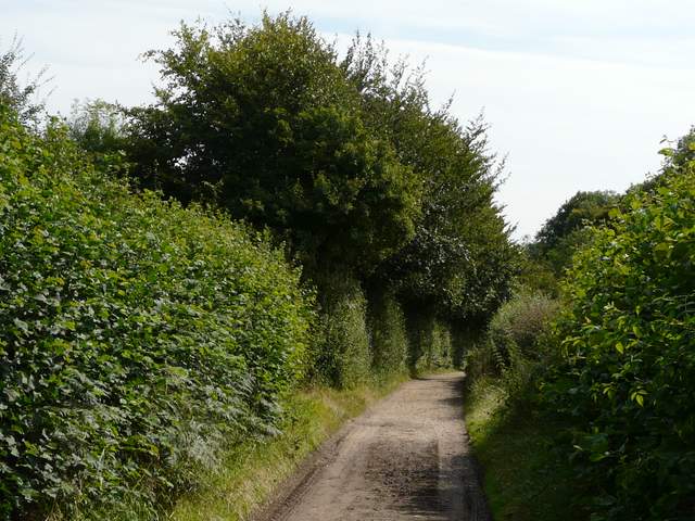
Digberry Lane
Digberry Lane
Huntercombe End Lane
Huntercombe End Lane
Bushes Lane