Pete's Walks - Buckland Common and The Lee (page 2 of 3)
In the village centre Martin and I crossed over a road and passed the village pub, with the green on our right. We took a short break on a bench on the green, then carried on. A little past the end of the green we turned left through the churchyard - most unusually there is both a Victorian-era church and behind it a mediaeval one. Behind the older church we went across a stile into a pasture, turning left and going over two further stiles either side of a garden by a cottage. The path then went half-right across a pasture, where some cattle were chewing the cud.
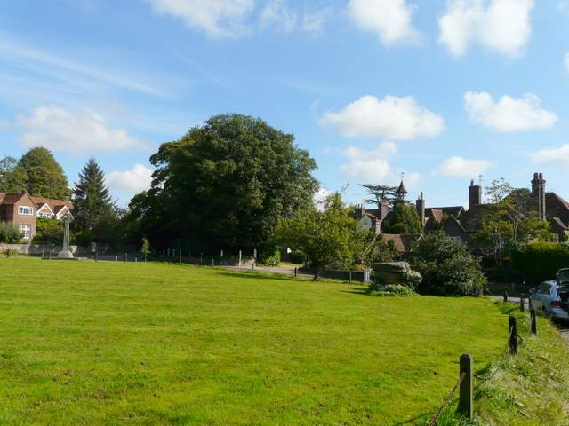
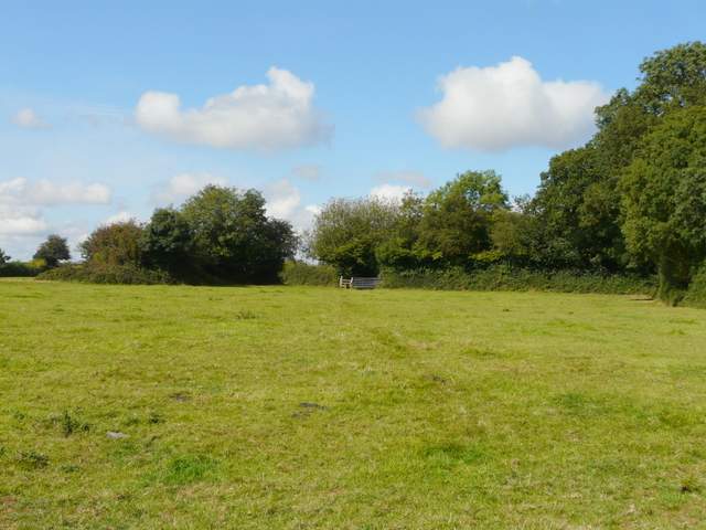
The Lee
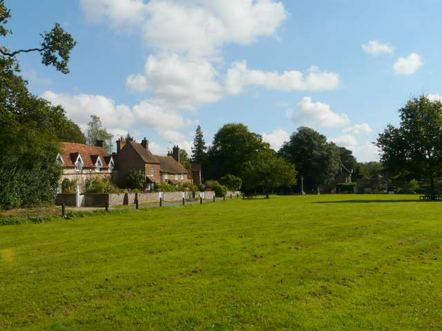
The Lee
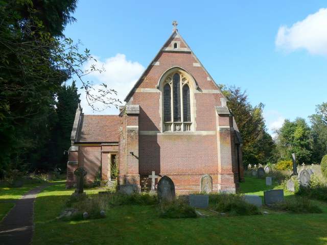
The new church, The Lee
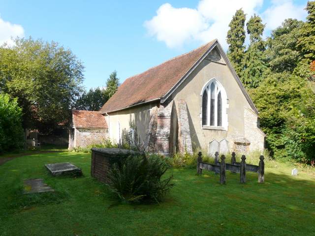
The old church, The Lee
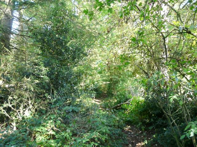
Start of the path north from The Lee to Kingsash
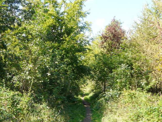
I always enjoy the path from The Lee to Kingsash for some reason, though it's perfectly flat, has limited views and just follows hedgerows through a series of arable fields. We saw a group of walkers at one path junction, and spotted a Buzzard and a Red Kite together in the sky, soaring on a thermal. The path switched to the left of the hedgerow after the first field, and eventually crossed a paddock and went through a couple of gates to join a driveway leading to a lane in Kingsash.
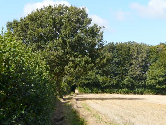
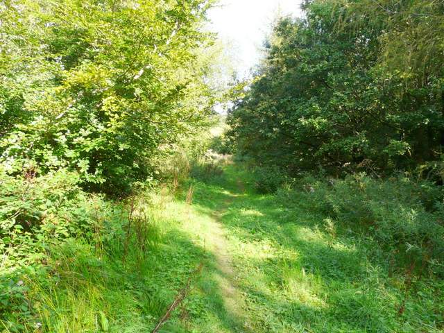
The path north from The Lee to Kingsash
The path north from The Lee to Kingsash
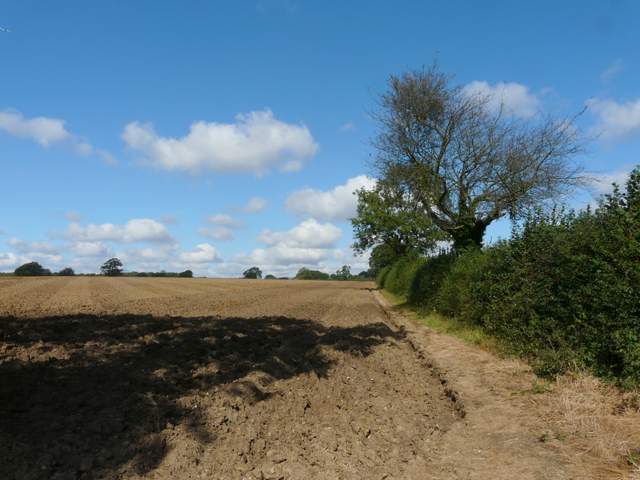
Approaching Kingsash
We turned right, and followed the road for a quarter of a mile or so. At a right-hand bend we took a track going straight on, along the edge of Great Widmoor Wood (this is Alternative 2 on my Google map), until we reached a path crossroads where we turned left into the wood. After about a third of a mile, we turned right, heading north through Barn Wood (again the OS map isn't too clear about the name, it might still have been part of Great Widmoor Wood).
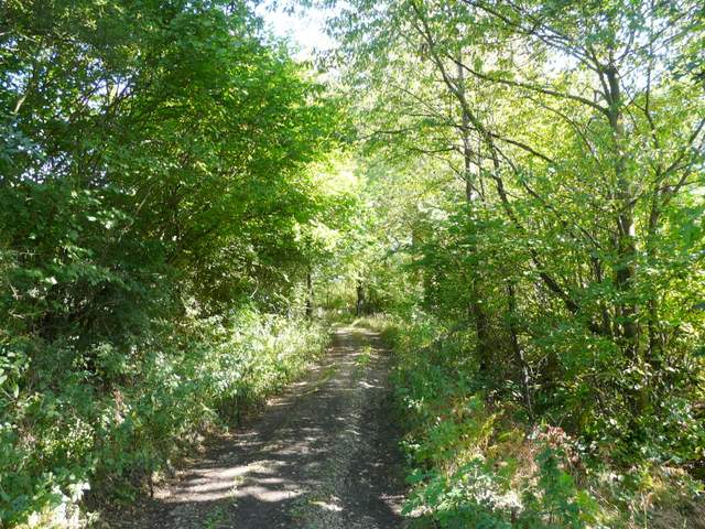
The bridleway along the south-eastern edge of Great Widmoor Wood
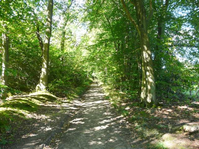
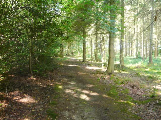
The path going northwest through Great Widmoor Wood
The path going northwest through Great Widmoor Wood
Barn Wood
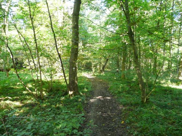
At the edge of Barn Wood the path continued through a tree-belt, heading northeast, with ploughed fields either side. We were now on the course of an ancient earthwork called Grim's Ditch, which we would now follow for a few miles (I'd walked this section in the other direction five weeks ago on my Wigginton and Wendover Woods walk). At the end of the tree belt the path went a few yards right before turning left into Baldwin's Wood and continuing alongside the earthwork. We stopped to eat our lunch on a fallen tree, then continued on through the wood. After about half a mile we came to a lane junction - Martin remembered parking here once soon after he first came to Markyate 20 years ago.
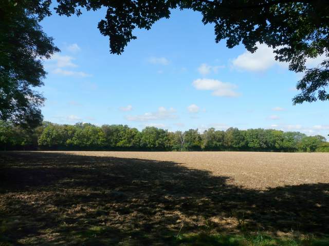
Looking out from the start of the tree belt leading to Baldwin's Wood
Path through the tree belt heading to Baldwin's Wood
The path through Baldwin's Wood, along the line of Grim's Ditch
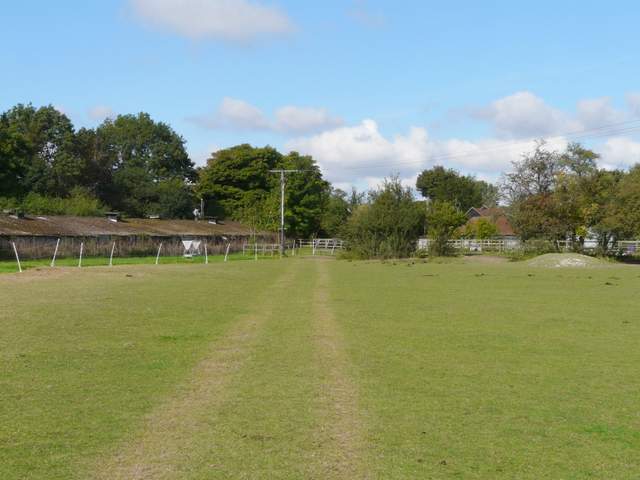
Approaching the lane junction