Pete's Walks - Buckland Common and The Lee (page 1 of 3)
If you are considering walking this route yourself, please see my disclaimer. You may also like to see these notes about the maps and GPX files.
I did this roughly 11.8 mile circular walk on Saturday, 22nd September 2012. It was a repeat of my Buckland Common and The Lee walk, which I'd done two or three times before. Having looked back through my 'Walks Diary' pages, it appears it is over three years since I last did this walk but I'm sure that can't be right!
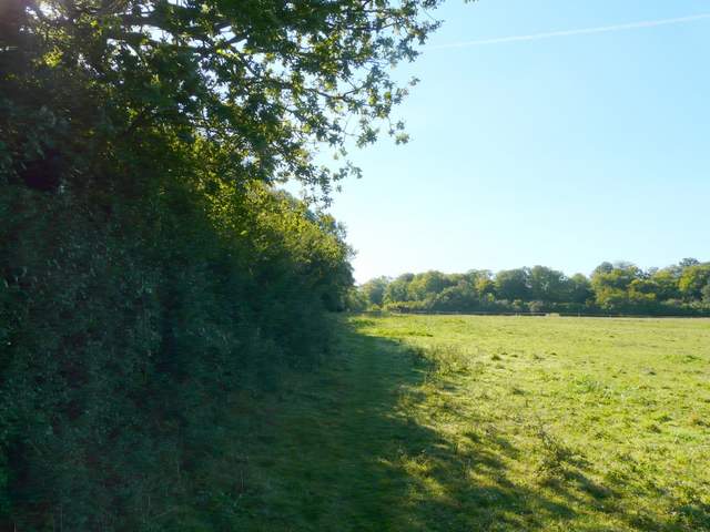
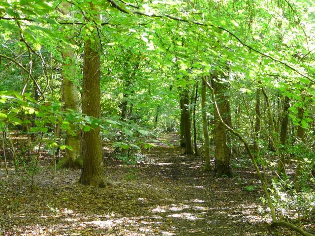
Unusually, I had a companion on this walk, my friend Martin from Markyate (we bumped into each other on a couple of walks and then did this Cholesbury and Ashley Green walk together last October). We parked by the post box in Buckland Common (there's parking for 3 or 4 cars here) and started walking about 10.10am. We went a few yards eastwards to the end of Bottom Road, and turned right towards St Leonards. At the next junction we went left, and after a couple of hundred yards turned right along the drive to Dundridge Manor. Almost immediately we took a footpath going left along a hedgerow. After a couple of hundred yards we turned right, and headed across a field to pass to the left of the outbuildings of the farm at Dundridge Manor. We then a joined a surfaced farm track continuing south-westwards - when the track turned left, we continued ahead through some waste ground to reach a wood (I think this is Lady Grove, but I'm not sure from the OS map).
The start of the drive to Dundridge Manor
Approaching the farm at Dundridge Manor
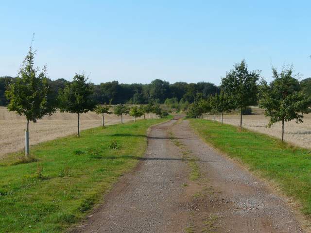
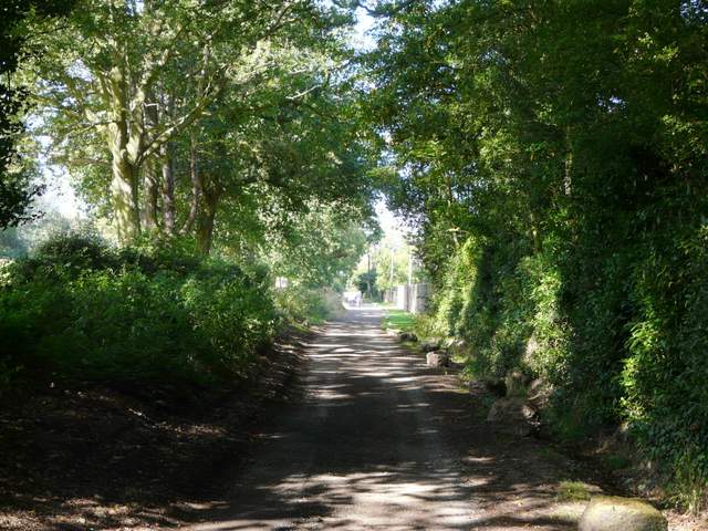
The drive from the farm, heading towards Lady Grove
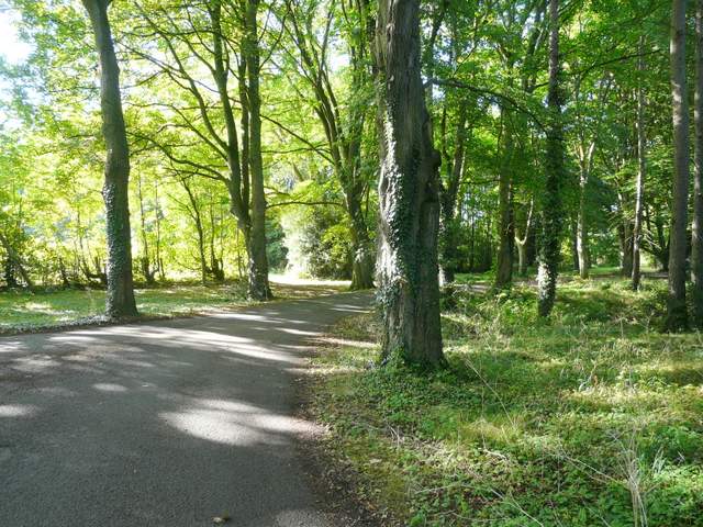
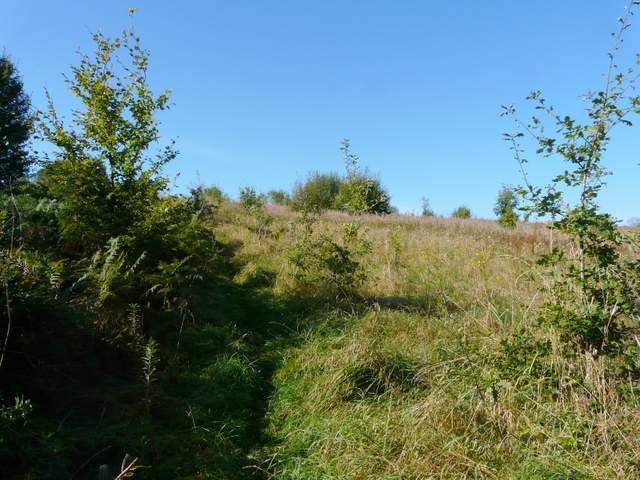
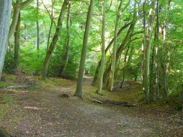
The path through Lady Grove
The path dropped downhill through the wood to a valley bottom. The path soon left the wood, following the edge of the wood through an area of long (and wet!) grass, before turning right alongside an old hedgerow and heading uphill. There was masses of faded Rosebay Willowherb here, this must have been almost a sea of pink a few weeks ago. At the top of the short slope the path followed the hedgerow past a ploughed and harrowed field to reach Erriwig Farm and Arrewig Lane (both names come from the Saxon for 'way to the fields' apparently). A few yards to the right, a bridleway started across the lane. After a couple of hundred yards, just before the bridleway curved right, a footpath went left through bushes, then climbed uphill alongside a tall hedgerow on the right. The path then dropped down into the next valley, continuing uphill between hedges and fences, before running along the left edge of a large paddock to reach a road junction..
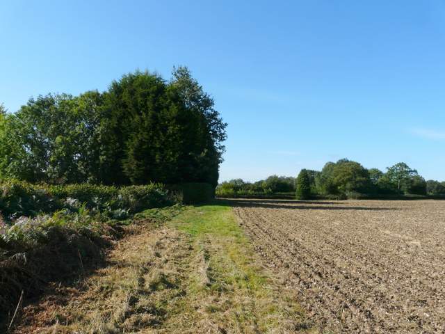
The path from Lady Grove to Erriwig Farm
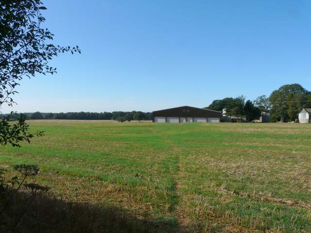
Approaching Erriwig Farm
The path south from Erriwig Farm
The path south from Erriwig Farm
The path south from Erriwig Farm, approaching the road junction
Carefully crossing over, we took the road opposite. After about a quarter of a mile footpaths went off either side, and we took the one on the left. After passing through a couple of empty pastures, the path entered Lowndes Wood. Again the OS map isn't really clear, so I don't know how much of the next mile of woodland walking was in Lowndes Wood or if any is in an unnamed wood (or woods). Anyway, the path gradually curved right, from east to south, crossing the route of the Chiltern Heritage Trail at one point. At the next path crossroads the path became a bridleway, now with a large pasture close by on the right. On finally coming to a bridleway T-junction, Martin and I turned right. The new bridleway ran along a valley bottom, just inside the edge of Bellows Wood which sloped uphill on our left.
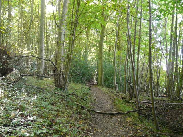
The path through Lowndes Wood
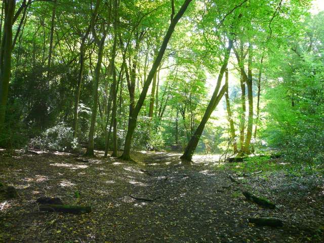
The path through Lowndes Wood (possibly it's now another wood, but no other name is shown on the OS map)
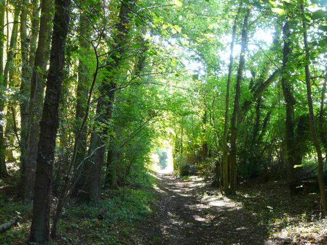
The bridleway through Lowndes Wood (possibly it's now another wood, but no other name is shown on the OS map)
The bridleway in Bellows Wood
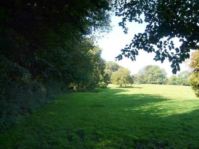
In the corner of the wood the bridleway turned left, but we continued straight on ahead on a footpath, between a fence and a high hedge of mature trees. There was a long empty pasture stretching along the valley to our left, this valley being called Ballinger Bottom. The path then turned left briefly, before joining a track that led to a minor road. Across the road, a path continued through a long thin wood. After a while the path went through a kissing-gate and continued along the edge of a pasture before another gate led back into the wood. The path then joined a track, which we followed to the right, soon reaching the village with the unusual name of The Lee.
The path through Ballinger Bottom
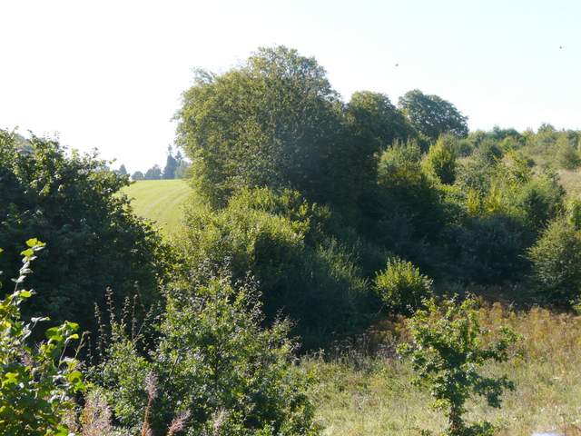
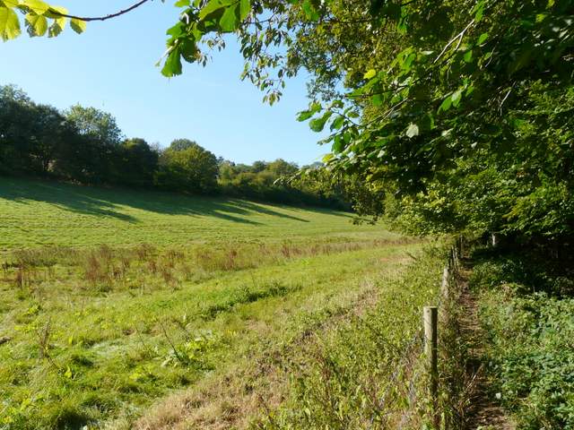
Ballinger Bottom

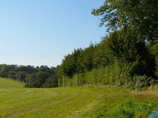
The path going northwest from Ballinger Bottom
The path going northwest from Ballinger Bottom
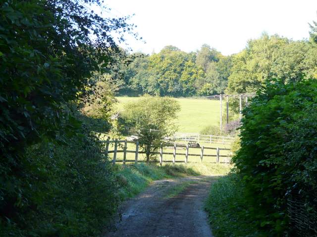
Approaching The Lee