Pete's Walks- Buckland Common and Chartridge (page 1 of 5)
If you are considering walking this route yourself, please see my disclaimer. You may also like to see these notes about the maps and GPX files.
Google map of the walkDownload GPX file of the walk
I did this roughly 12.1 mile circular walk on Wednesday, 14th November 2012. It was Walk 6 of my Chiltern Chain Walk, but done in the opposite direction (anti-clockwise).
I started walking about 10:20am, having parked by the post box in Bottom Road, Buckland Common. I went the few yards to the end of the road and turned right. At the next road junction I turned left for a couple of hundred yards before turning right onto the drive to Dundridge Manor. Almost immediately I took a footpath going left beside a ploughed field. I then turned right to cross another ploughed field and passed left of the farm buildings at Dundridge Manor. A track led on from the farm towards a wood - where the track turned left a path led on through long grass to reach Lady Grove (looking on the Google map, it's possibly Cindry Bottom Wood).
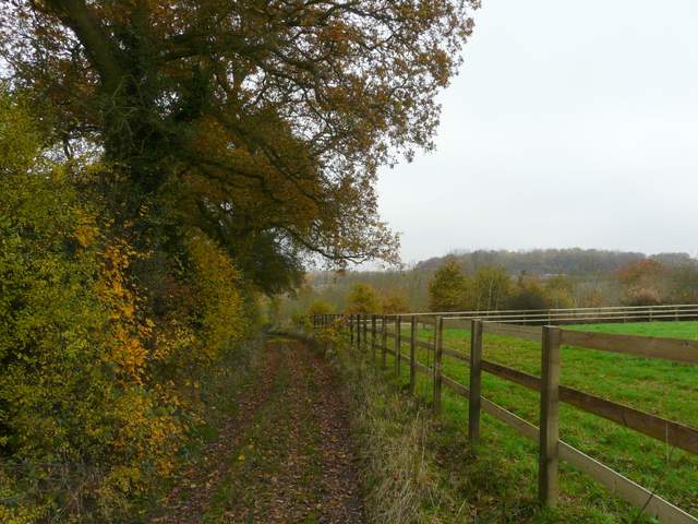
The path starting from the drive to Dundridge Manor
The path to the farm at Dundridge Manor
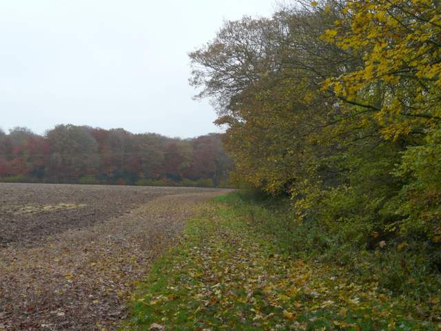
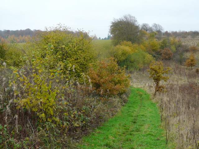
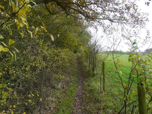
The path continuing towards Lady Grove
The path continuing towards Lady Grove
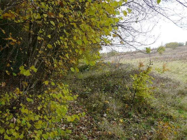
The path now dropped downhill through the wood, before turning left and running just inside the edge of the wood. After a while a waymark indicated where the path left the wood, continuing along its side before turning right and following a straggly hedgeline uphill. The path carried on to reach Arrewig Lane, close to Erriwig Farm (both names apparently come from the Saxon for 'way to the fields').
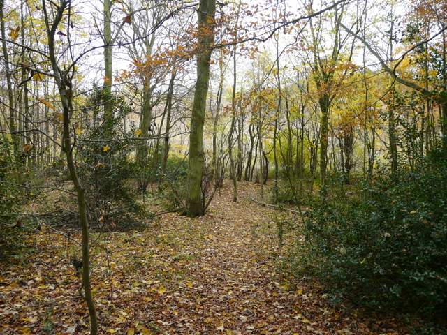
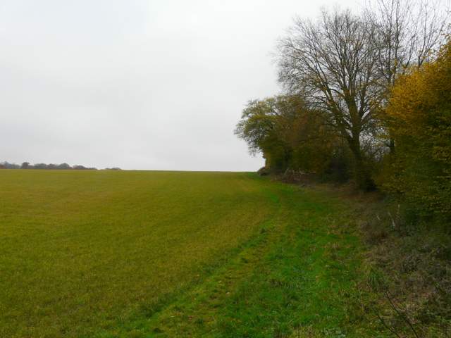
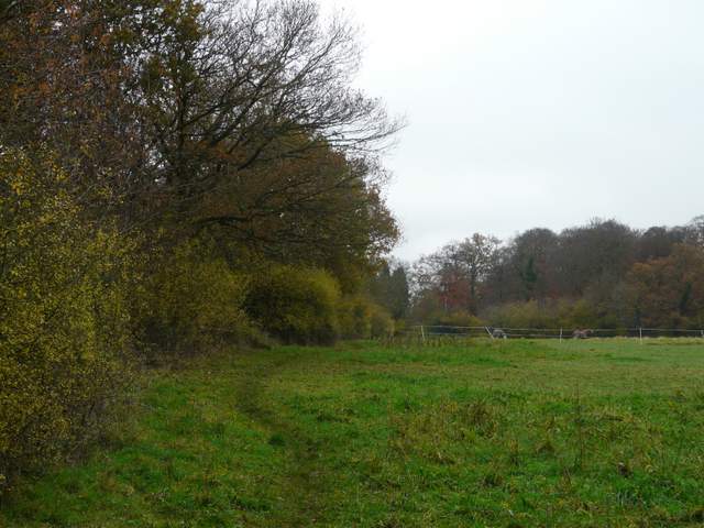
Lady Grove
Path continuing alongside Lady Grove
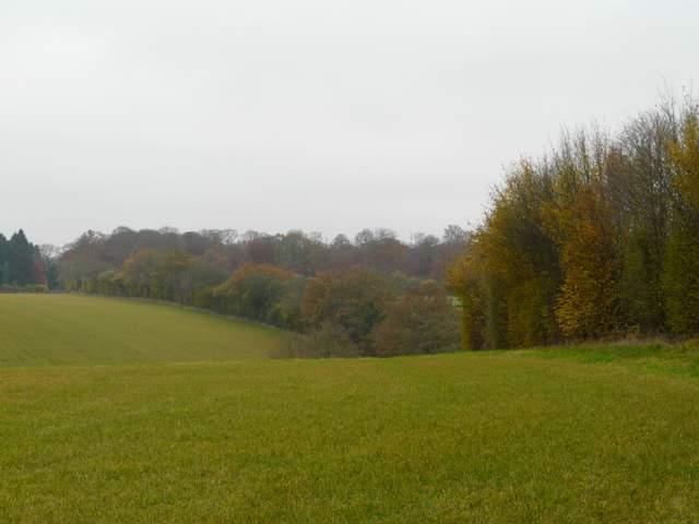
Path continuing towards Erriwig Farm
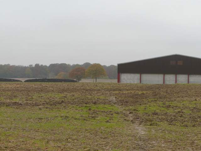
Approaching Erriwig Farm
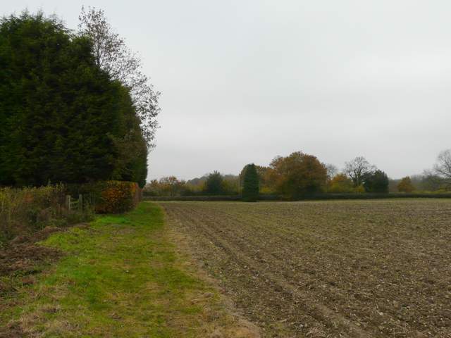
A few yards to the right a bridleway started on the opposite side of the lane, and a short distance down it a path branched off to the left. Through some bushes, the path ran through an area of rough grass and then followed a hedge on the right uphill past a very large arable field, with woods over to my left. The path descended the other side of the hill, switching to the other side of the hedge in the valley bottom and continuing uphill past or through three paddocks. The path ended at a road junction, where I took the road going on ahead.
Bridleway south of Arrewig Lane
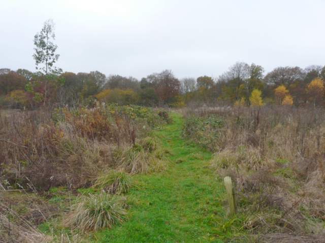
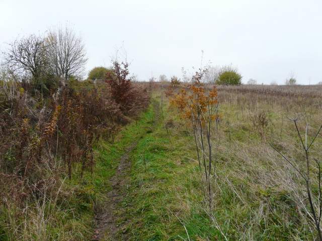
The footpath going south from Arrewig Lane
The footpath going south from Arrewig Lane
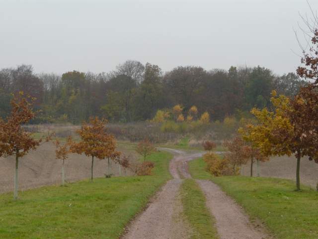
The footpath going south from Arrewig Lane (the road junction at the end of the path is top left of the photo)
The footpath going south from Arrewig Lane
The footpath going south from Arrewig Lane
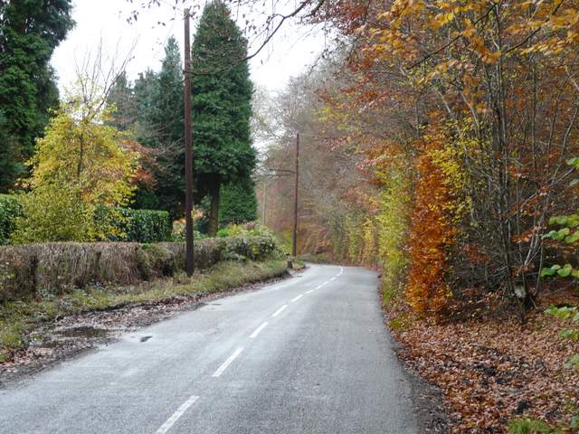
The road going south (to Lee Common and Ballinger Common)