Pete's Walks- Buckland Common and Chartridge (page 3 of 5)
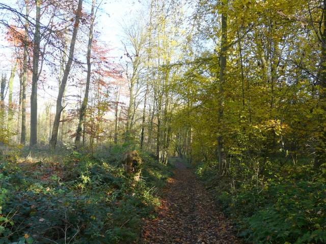
I went right for a short distance along the road, then turned left on a path that followed the left edge of an arable field. In the next field corner, the path switched to the left of the hedgerow, descending into a valley bottom and climbing up the other side, with nice views along the valley to my left. At the end of the hedgerow, the path turned right into Captain's Wood, a typical beech wood and a nature reserve. After a short distance a footpath on the left (starting at a stile hidden by holly bushes when approached from this direction) then ran between a tall hedge and a wooden fence, close to Mount Nugent Farm. I passed through a sequence of gates to reach the farm drive, following it to a road near Great Hivings.
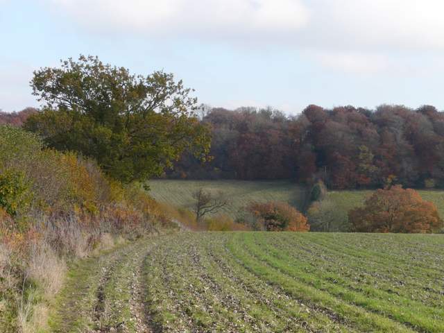
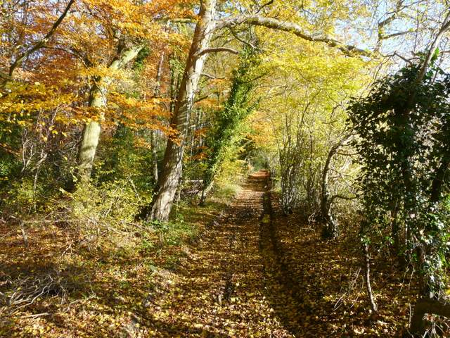
The path going east to Captain's Wood
The path going east to Captain's Wood
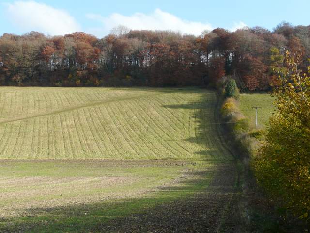
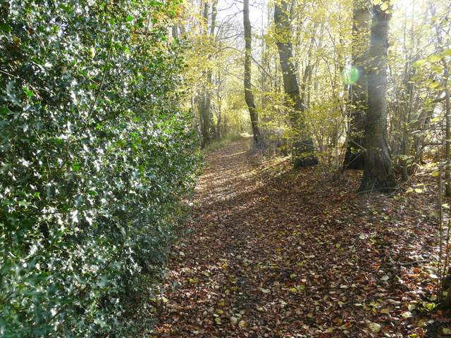
Looking north, just before entering Captain's Wood
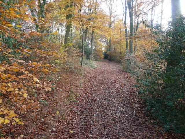
Captain's Wood
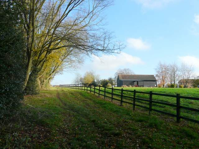
The path past Mount Nugent Farm
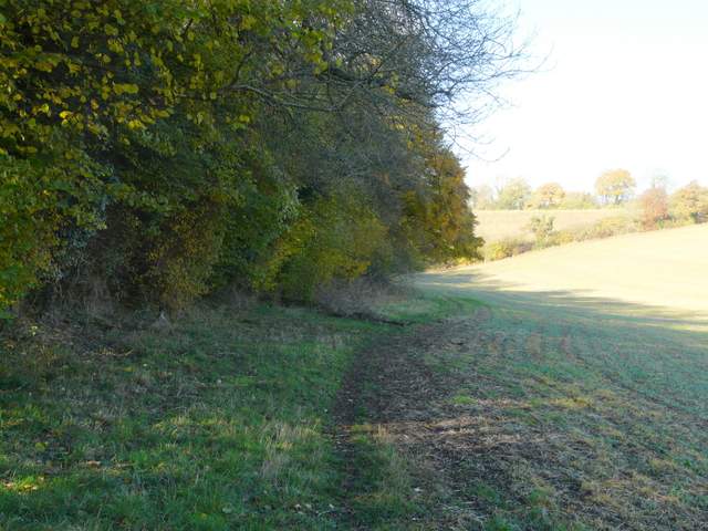
Across the road a track went half-left, northwards, with garden fences on my left and small enclosures to my right. Beyond the gardens, the path continued beside the left-hand hedge of a very large meadow, with Ramscoat Wood on the other side of the meadow. On finally reaching the corner, I went a short distance right to a stile. Over this, I turned right and followed an almost impassably muddy byway just inside the edge of Ramscoat Wood. After some distance the byway turned left, and dropped downhill through the wood. It turned right at the bottom of the slope, but here I took a path that exited the wood and turned left along the valley of White Hawridge Bottom.
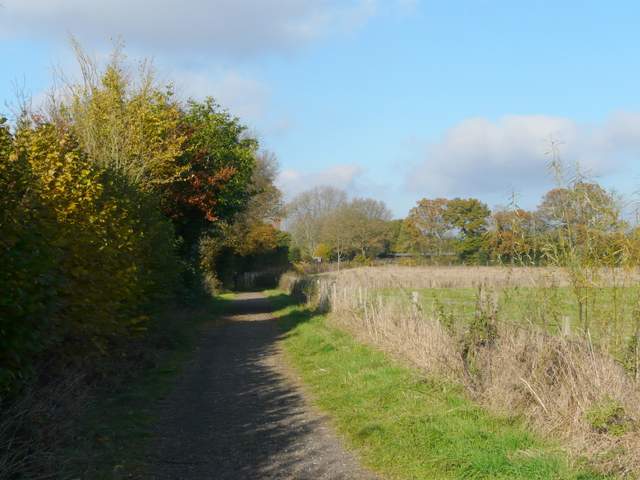
The path going north from Great Hivings, with gardens on the left
The path going north from Great Hivings, with gardens on the left
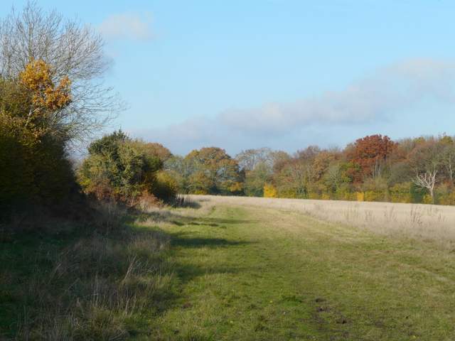
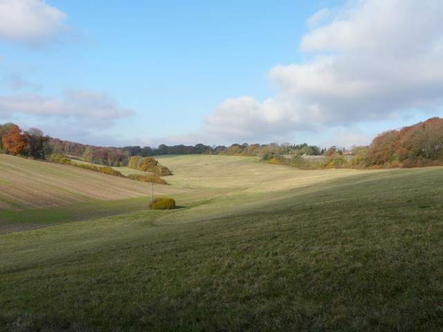
The meadow west of Ramscoat Wood

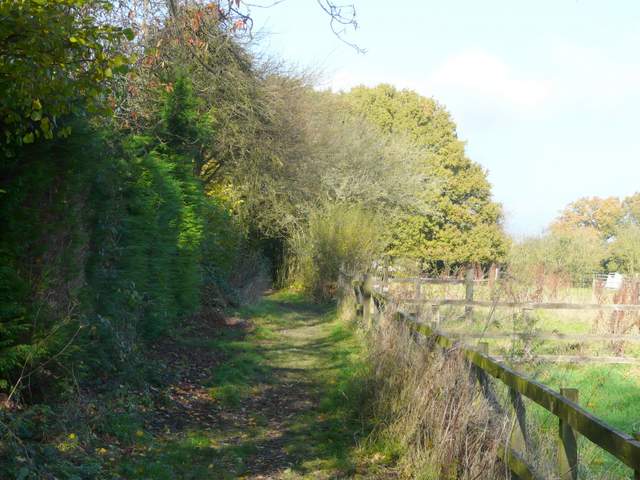
Very muddy byway in the northwest of Ramscoat Wood
Byway in the northwest of Ramscoat Wood
The byway in Ramscoat Wood
The byway going east through Ramscoat Wood
The path followed the edge of Ramscoat Wood along the valley bottom, with an arable field on my right. There were then a sequence of three large pastures of long and rough grass, sloping up the hillside on my right. The wood soon gave way to a tall hedgerow, and I spotted a few cattle at the top of the hill in the second pasture. Beyond the third very rough pasture, the path switched to the left of the hedgerow and continued through a less rough pasture to reach a track called Hawridge Lane.
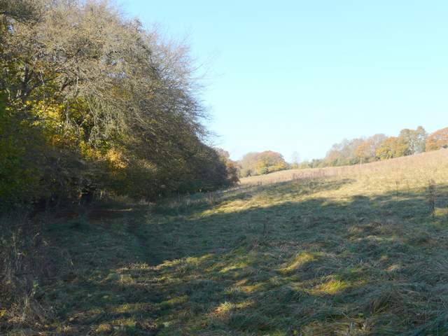
The path going northwest through White Hawridge Bottom (here next to Ramscoat Wood)

The path going northwest through White Hawridge Bottom
The path going northwest through White Hawridge Bottom
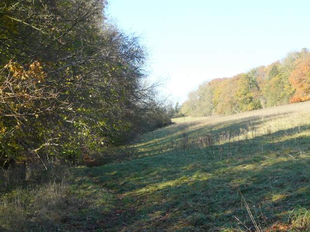
The path going northwest through White Hawridge Bottom
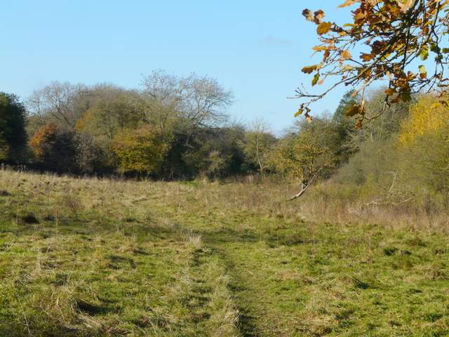
The path going northwest through White Hawridge Bottom, approaching Hawridge Lane