Pete's Walks- Marsworth, Halton, Tring Station (page 2 of 5)
I was now entering unexplored territory as I followed the road to the left. The map didn't make it entirely clear where the footpath I wanted started somewhere on the left, but a metal fingerpost indicated its start by the entrance to the churchyard (I thought it would start a little further along the road). I followed the path as it passed to the right of Halton church to a metal kissing gate. The path then went half left to an area of trees - I was a little concerned that the path started going a little left here, but I soon came to a junction where the path turned sharp right, close to some of the playing fields of RAF Halton. The path soon ended at a surfaced road through the RAF camp, where I turned left, following the road through the playing fields. I remembered that the son of one of my work colleagues trained here at RAF Halton a few months ago. There were some nice views left, back across the canal and out over part of the Vale of Aylesbury to a distant ridge of hills. When the road turned very sharply right, a footpath went slightly less right, through an area of small trees and bushes. It ended at another road through the RAF camp, which I followed left to reach Upper Icknield Way, the main road into Halton and Wendover from the east.
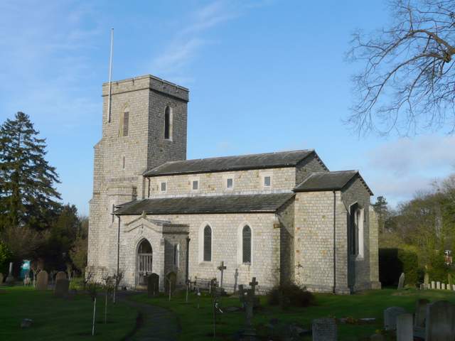
Looking back at Halton church
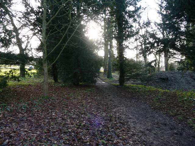
The path from Halton Church, next to the playing fields of RAF Halton
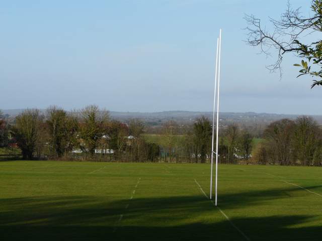
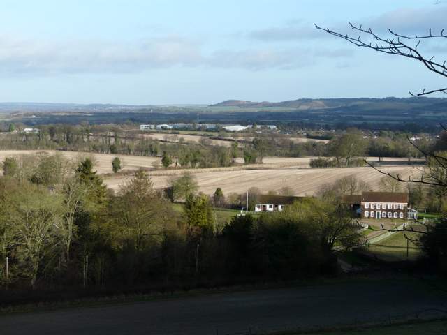
Looking across the playing fields at RAF Halton to the Vale of Aylesbury
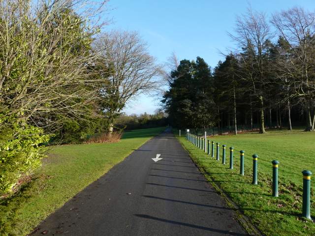
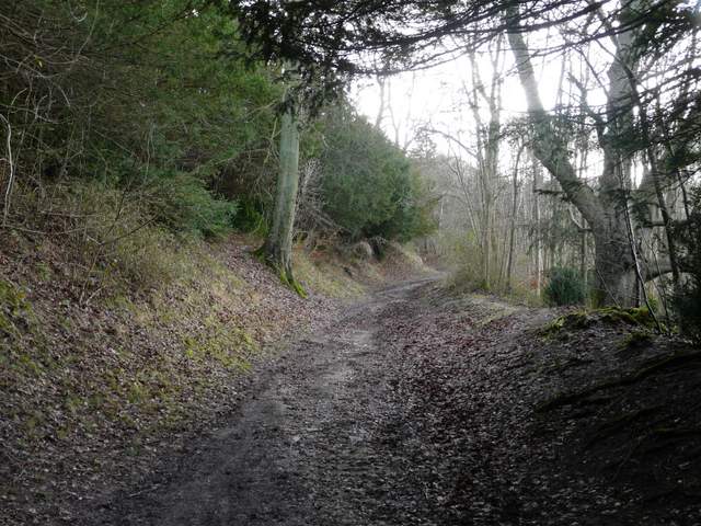
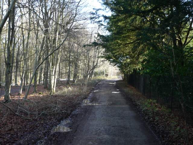
The drive past the playing fields
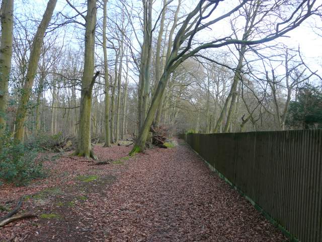
The footpath from the drive
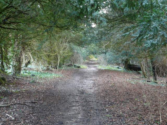
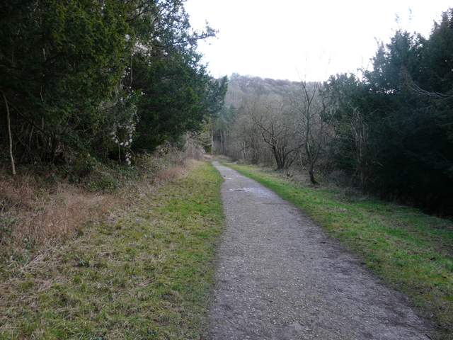
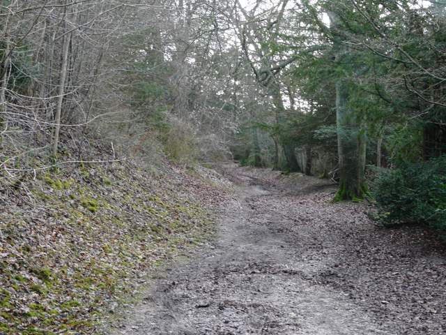
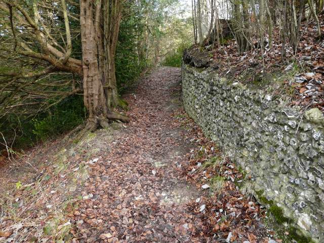
Across the road I followed a short drive a few yards, then continued along a path into Wendover Woods (I took care to take the left-most of two paths starting here). The path was initially well surfaced as it climbed gently uphill through the extensive woods, but further on there was a rather muddy section as I passed a grassy glade on my left. It was a very long but gentle ascent through the trees. After about half a mile I turned left at a path crossroads, the new path initially climbing by a flint wall. From the contours on the map I thought this path would be steeper, but again it was gentle climb. I crossed the drive to the visitor centre in the middle of Wendover Woods, and a little further on I reached a path crossroads, at the top of the hill and the edge of the woods.
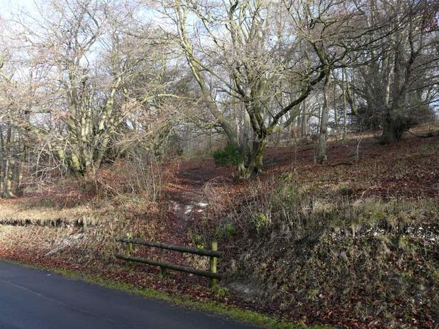
The path into Wendover Woods, from across Upper Icknield Way
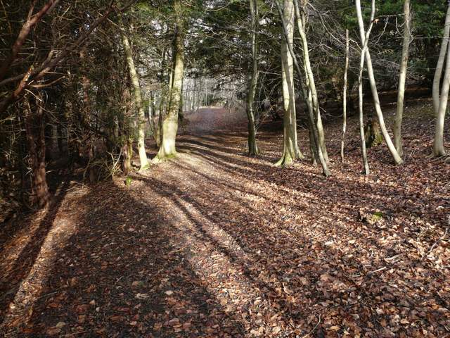
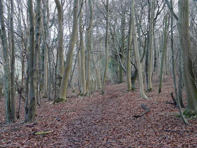
The path continuing into Wendover Woods
The path continuing into Wendover Woods
The path continuing into Wendover Woods
Start of the path going left, in Wendover Woods, heading northeast towards Aston Hill
The path going northeast towards Aston Hill
The path going northeast towards Aston Hill, where it crosses the drive to the forestry centre in Wendover Woods
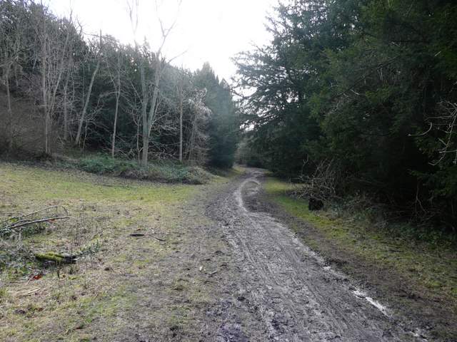
I was now back on familiar territory as I went straight on at the path crossroads, crossing an empty pasture half-left and passing a Trig point on top of Aston Hill (at roughly 858 feet above sea level, this must be one of the highest points in the Chilterns - the very highest point is at Haddington Hill, about half a mile away close to the Wendover Woods visitor centre). The path then followed a drive a few yards to the right to reach a road. Across this I followed the drive to Aston Hill Farm, with a Mountain Biking Centre in the woods on my left. The path then goes slightly left past the farm and into the woods, still with the Mountain Bike Centre on the left. The path then drops steadily downhill, and soon the wood ends on the left and there are occasional views out over part of the Vale of Aylesbury, with Ivinghoe Beacon a prominent feature. At the bottom of the slope I reached Dancers End Lane.
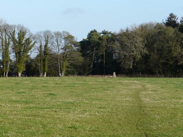
The path across the pasture on top of Aston Hill - note the trig point (260m, about 858 feet above sea level)
Near the start of the footpath past the Mountain Biking Centre on Aston Hill
The path continuing past Aston Hill Farm
The path down Aston Hill, heading east
View north east towards Ivinghoe Beacon