Pete's Walks- Marsworth, Halton, Tring Station (page 3 of 5)
I followed the lane right for about a hundred yards, before turning left onto a path that initially ran between garden boundaries. It continued beside a hedgerow on the left, with views over the fields of stubble on my right towards the steep wooded slopes leading up to the small village of Hastoe. After the second stubble field I turned right onto a public byway called Fox Lane. The byway continued across a lane, passing a couple of cottages, and then I turned left onto a similar hedge-lined byway. This soon curved right, taking me to another byway junction at the foot of the steep wooded slope up to Hastoe.
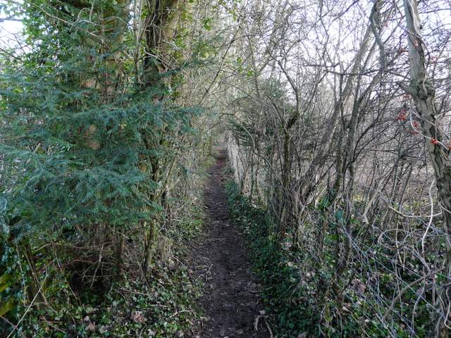
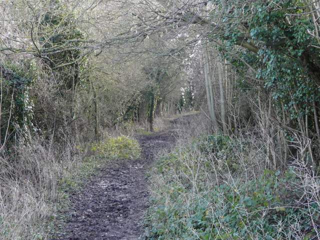
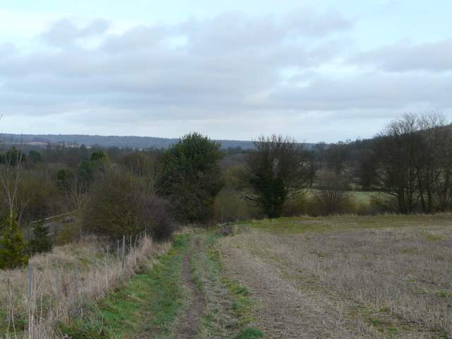
The path going east from Dancers End Lane
The path going east from Dancers End Lane
Fox Lane (public byway)
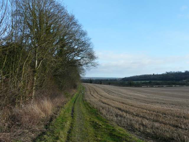
The byway continuing south from the lane crossing
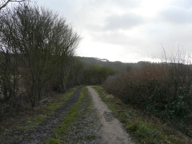
The next byway, approaching the T-junction at the foot of Grove Wood
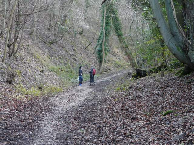
I have always previously turned right here and headed uphill to Hastoe, but now I turned left and followed the byway along the foot of the slope. I soon came to another path junction - a footpath continued ahead, but I turned right on yet another byway. As I struggled uphill I passed a couple with a young child. They asked how they could get back to Tring Park and I gave them directions according to the OS map, though I did warn them that I'd not walked here before. I hope they remembered that warning and that they got back OK, as I then discovered the paths here in Stubbings Wood do not seem to match those on the map and they are not waymarked very well at all. I expected to find a path on the left, but saw no sign of one until I'd gone much further up the byway. I then came to a crossing path (the path I wanted was not at a crossing) - there were no waymarks, but it was clearly a well-used path so I turned left (I guessed that it was a path that was marked on the map but not as a public footpath, though it became one further on). I was concerned that it seemed to stay close to the byway I'd just come up for some distance, but it eventually veered away and carried on contouring round the wooded slope. A couple of faint paths came in from the left, but neither were waymarked so I'm not sure if either of them were the path I'd been looking for. After almost half a mile I was very relieved to come across a post with waymarks, where a short path going right led me to the edge of the wood and another path junction where I was finally confident that I was where I wanted to be.
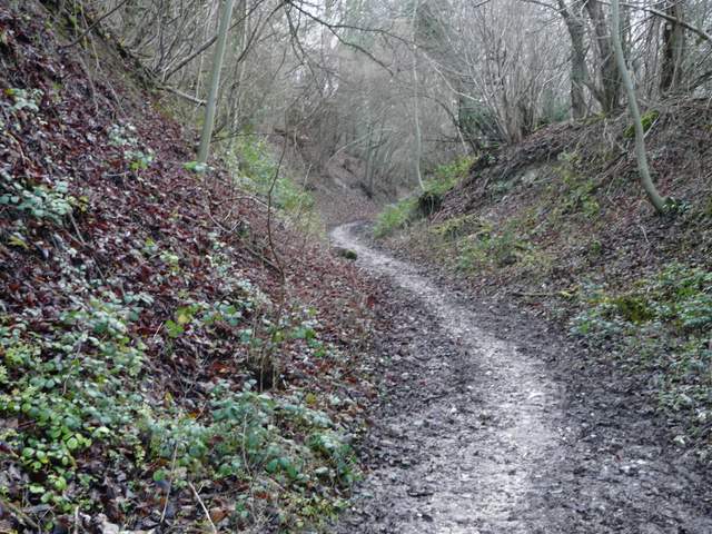
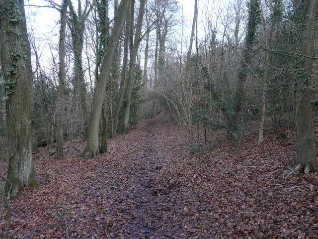
The byway along the foot of the wooded slope
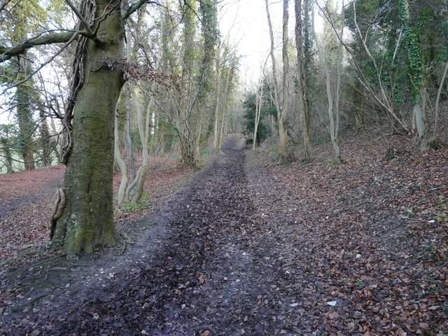
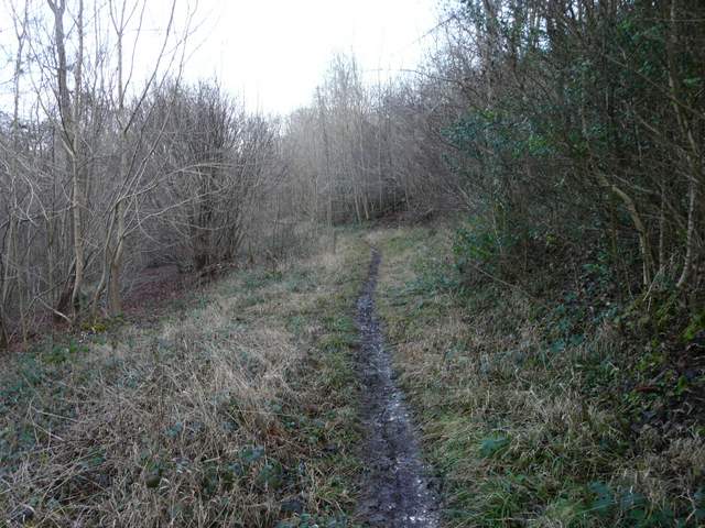
The byway starting up into Stubbing's Wood
The byway going up into Stubbing's Wood
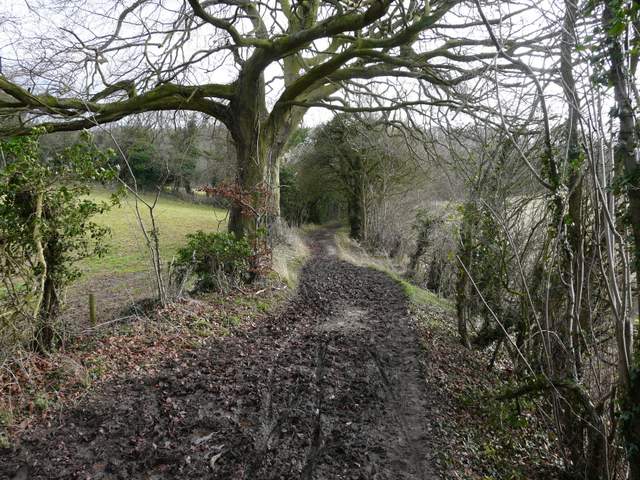
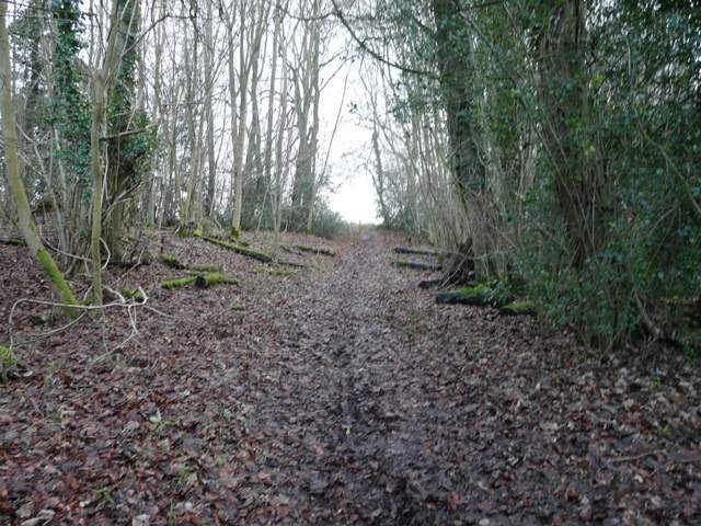
The path through Stubbing's Wood
The path through Stubbing's Wood
The short path leading to the east edge of Stubbing's Wood
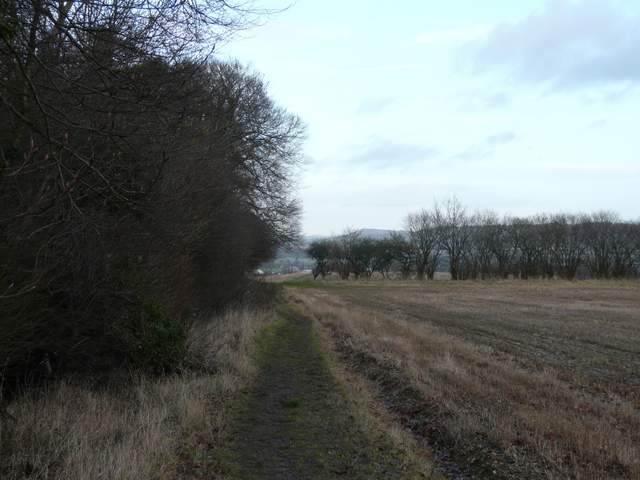
I turned left along the edge of the wood, then continued along a broad track through fields of stubble, the ground dropping away ahead of me to give views over Tring and towards Ivinghoe Beacon. The path continued beside a right-hand hedge and descended steadily. At the bottom of the field I turned right at a path junction (if I'd gone straight on instead of taking the byway that went uphill into Stubbing's Wood, I'd have come out here). The noisy A41 dual carriageway was just over the hedge on my left as I continued along the bottom of two fields to reach Hastoe Lane.
The start of the path north east from Stubbing's Wood to Tring Park
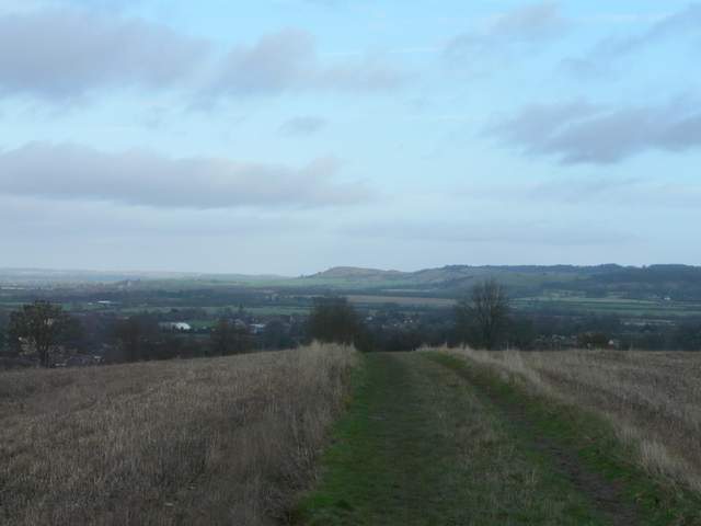
View ahead towards Ivinghoe Beacon, from the path from Stubbing's Wood
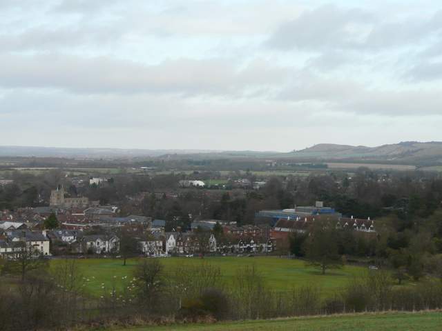
View over Tring, from the path from Stubbing's Wood
The path continuing beside the A41 dual carriageway